
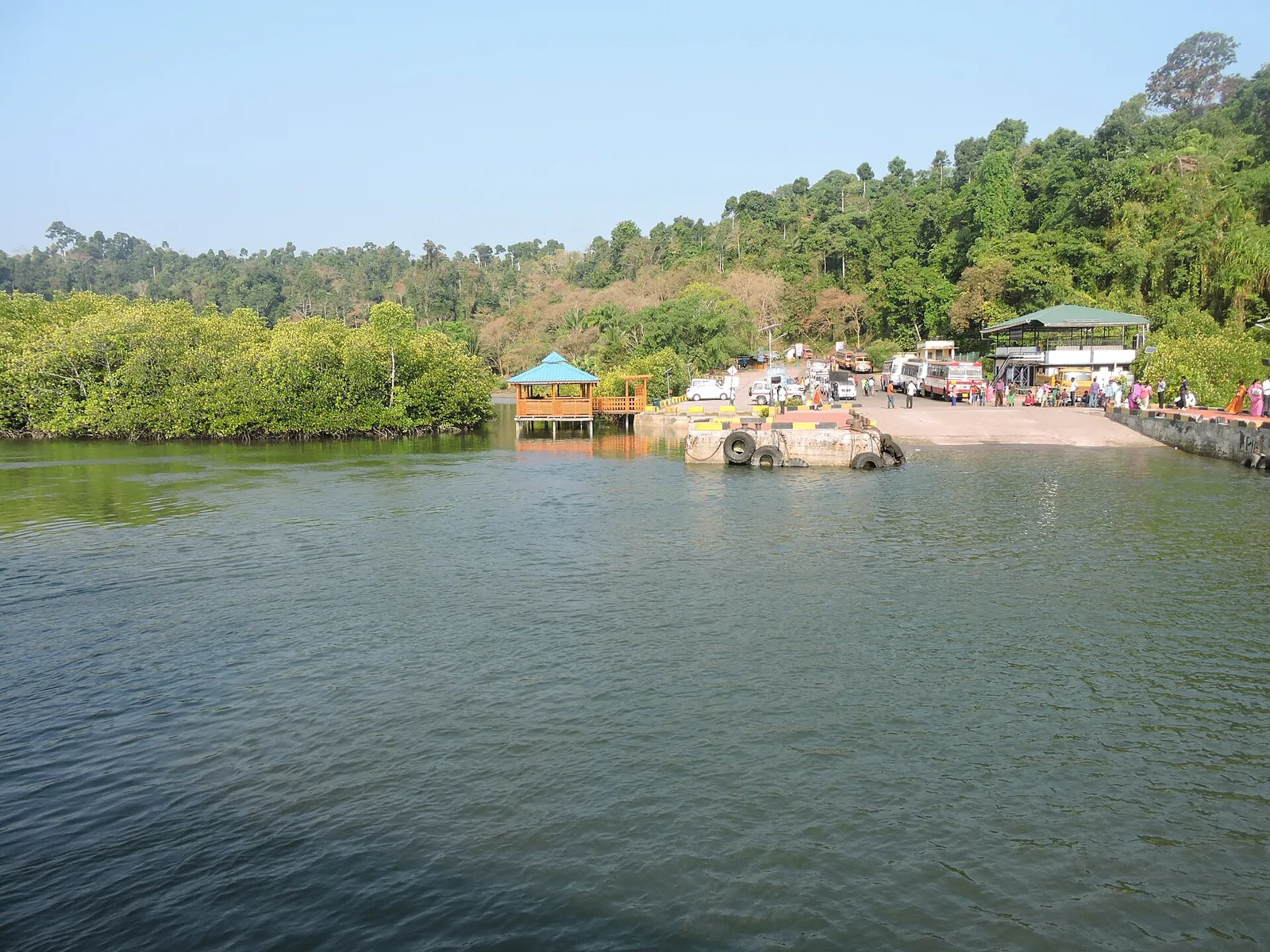
District · Andaman and Nicobar Islands
North and Middle Andaman
North and Middle Andaman is the northern part of the Andaman Islands in the Andaman and Nicobar Islands union territory.
North and Middle Andaman district spans forested islands, smaller islets, sheltered creeks and a long, varied coastline in the Andaman Sea. Its principal settlements include Diglipur, Mayabunder and Rangat, while Baratang and Long Island are among its notable island destinations. North Andaman’s Saddle Peak rises above dense tropical forest, and the district also includes mangrove-lined shores and areas of rich marine life. These islands are the homeland of Indigenous communities, including Great Andamanese and Jarawa people; their territories and privacy must be respected. Colonial administration and later settlement brought people from mainland India, shaping the district’s present mix of communities. Much of its character remains rural, quiet and closely tied to forests and the sea.
North and Middle Andaman is the northern part of the Andaman Islands in the Andaman and Nicobar Islands union territory. It offers a different kind of island trip from the more frequently visited southern islands: journeys here link small towns, forested interiors, beaches and boat-accessed sites. Visitors come for places such as Baratang Island and its mud volcano, the forests around Saddle Peak, the Ross and Smith Islands near Diglipur, and quieter coastal and wildlife areas. The district is also a useful setting for understanding how settlement, conservation and travel are shaped by the islands’ geography. Its sights are spread out, so travel time and transport planning are part of the experience.
The Andaman Islands have a long history of Indigenous habitation, and Indigenous communities maintain distinct relationships with their ancestral territories. The islands were not historically governed as an extension of the mainland kingdoms in the way many parts of India were. European interest grew during the colonial period: the British established a settlement in the late eighteenth century, withdrew from it, and returned after the 1857 uprising to establish a penal settlement on South Andaman. Colonial administration and later migration brought people from different parts of India to the archipelago, while forest and marine environments remained central to life across the islands. North and Middle Andaman developed as a distinct administrative area as settlements and services spread along the island chain. North and Middle Andaman district was formed in 2006, when the former Andaman district was divided. Baratang and parts of the district are associated with protected Indigenous territories; access and travel rules reflect the need to safeguard these communities and their lands.
10 destination guides · 9 on the map
Baratang Island
Baratang is part of the Andaman Islands, within the Andaman and Nicobar Islands union territory. Visitors can include it while exploring the archipelago; Port Blair is 150 km to its south.
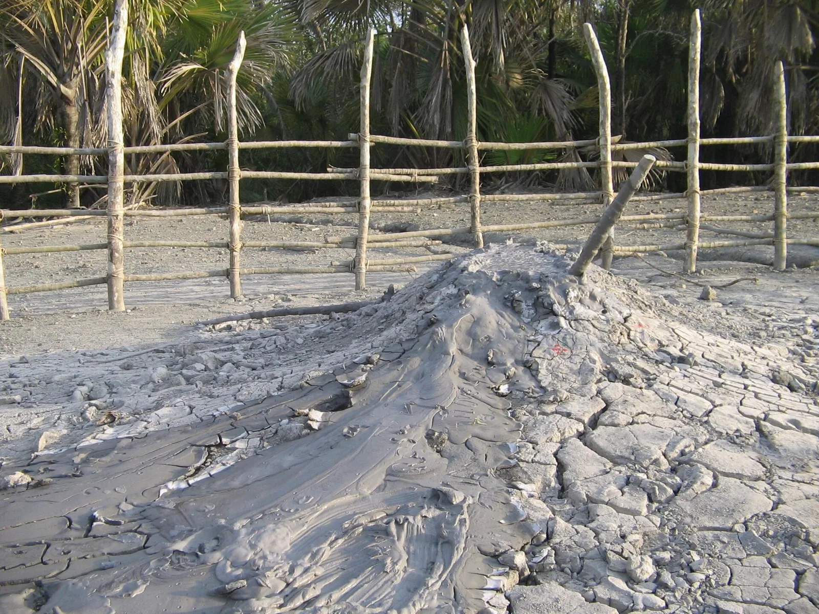
Baratang mud volcano
Baratang mud volcano is a mud-volcano site in the Andaman and Nicobar Islands. Visitors go there to see the feature, which is recorded as a heritage site.
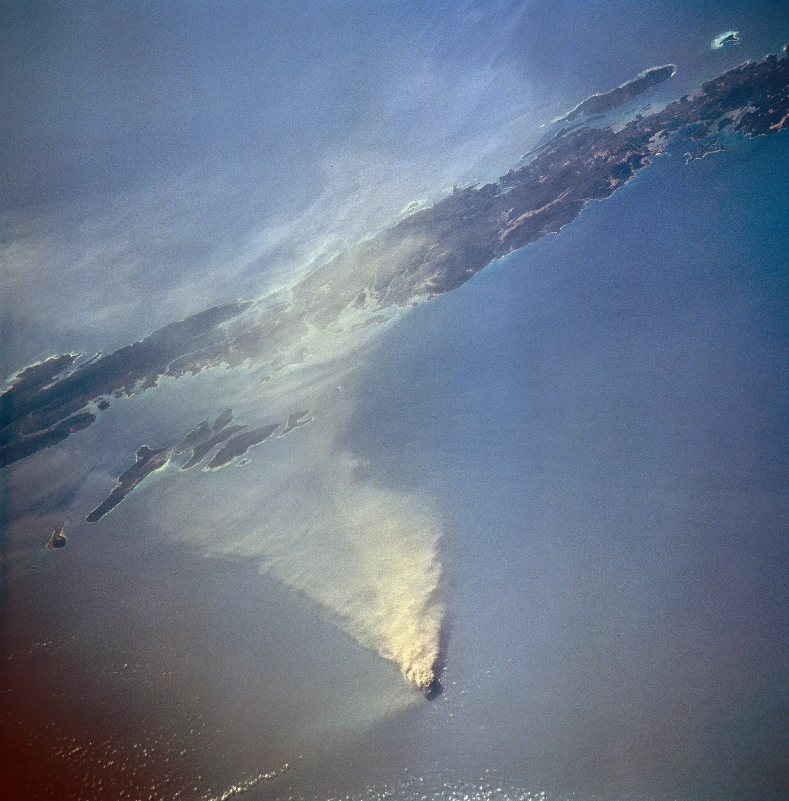
Barren Island Volcano
Barren Island is an uninhabited island in the Andaman Sea, known for its active volcano. Visitors interested in volcanic features come to see the Indian subcontinent’s only confirmed active volcano.
Cuthbert Bay Wildlife Sanctuary
Cuthbert Bay Wildlife Sanctuary is a protected area on Middle Andaman’s eastern coast, visited by marine turtles and valued as a nesting ground for three of the four species that come to the islands each year.
Diglipur
Diglipur is North Andaman Island’s largest town and an administrative tehsil in the Andaman and Nicobar Islands. Visitors may be drawn by its proximity to Saddle Peak, the archipelago’s highest point, and the Kalpong River.
Long Island
Long Island is part of the Andaman Islands and falls within North and Middle Andaman district, in India’s Andaman and Nicobar Islands. People visit it as a destination within the island group.
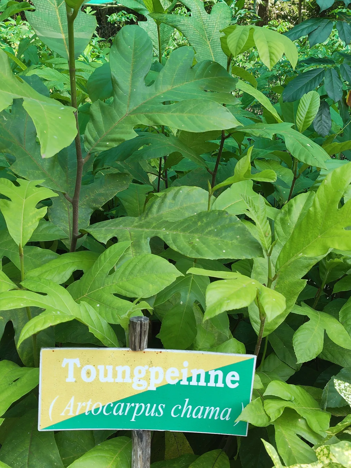
Mayabunder
Mayabunder is a town and tehsil on Middle Andaman Island. Visitors interested in its British-era settlement history may come to learn about the migrants and former prisoners who settled there.
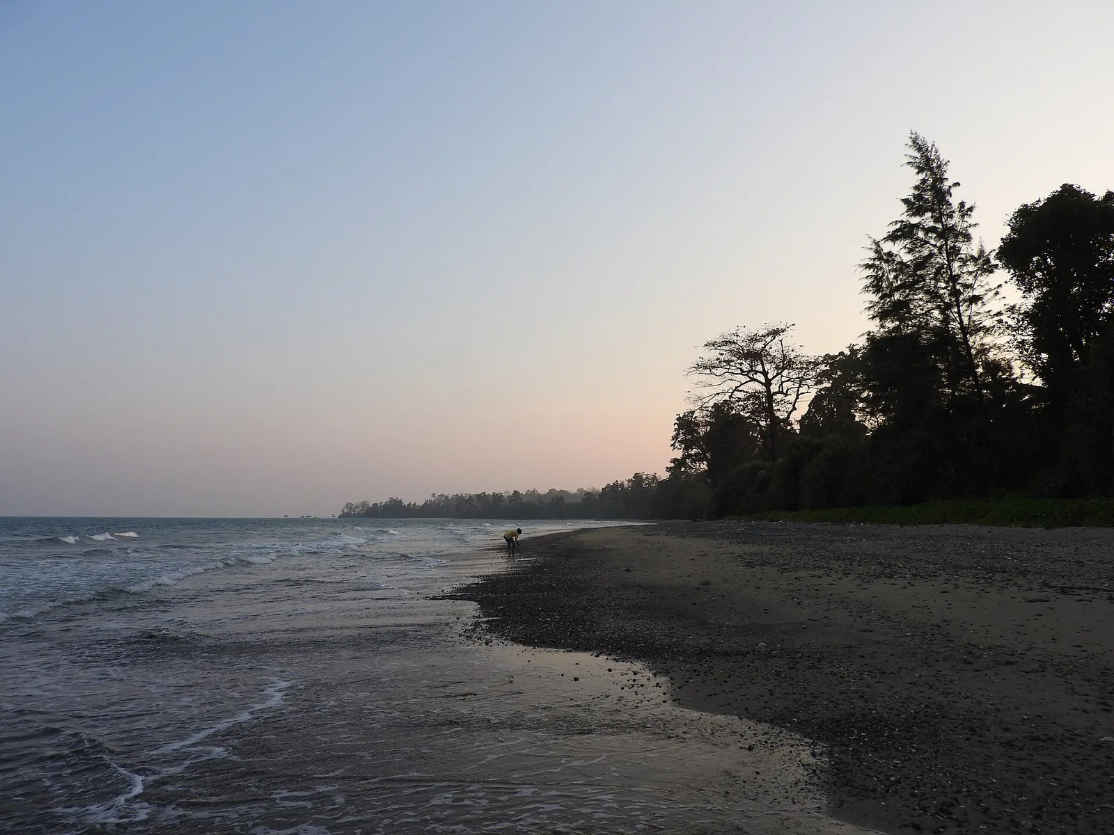
Rangat
Rangat is a town on Middle Andaman, visited by travellers exploring the island. Road and sea links connect it with other places, including Port Blair and Mayabunder.
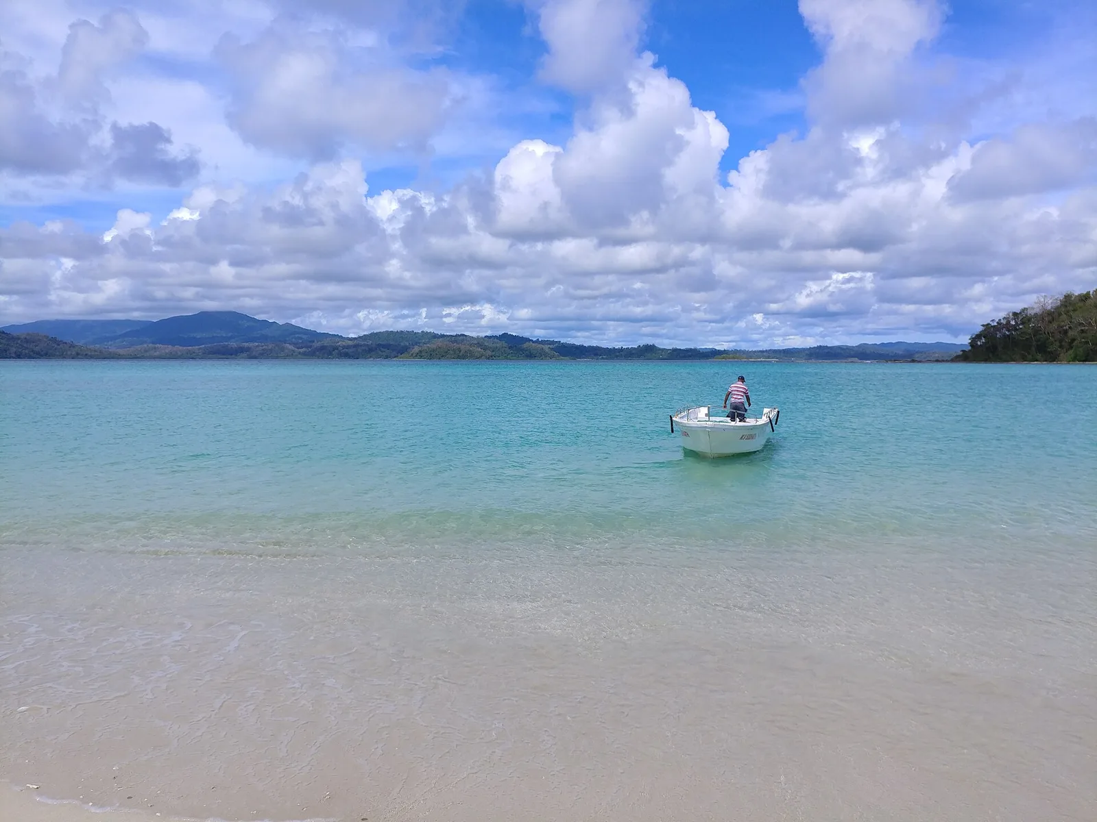
Ross and Smith Islands
Ross and Smith Islands lies in North and Middle Andaman district, within the Andaman and Nicobar Islands. Visitors come to see the islands themselves.
Food across North and Middle Andaman reflects the wider islands’ seafood and rice traditions, alongside Bengali, Tamil and Malayali influences brought by settler communities. Depending on the day’s catch, small eateries may serve fish curry, grilled fish, crab, prawns or lobster, often with rice and coconut-based preparations. Tender coconut water and tropical fruit are also common choices. Menus can be limited, particularly away from the larger settlements, so ask what is freshly available rather than expecting a fixed selection. On beach outings and longer road journeys, carry drinking water and snacks, as places to buy food may be sparse.
Craft traditions are better described at the wider Andaman and Nicobar regional level than as exclusive to this district. Visitors may encounter utility and decorative items made from materials such as cane, bamboo, wood and coconut, as well as shell-work in some markets. Availability and styles vary between islands and communities, and not every item is locally made. Indigenous cultural expressions should be approached respectfully and not treated as tourist commodities. Avoid buying products made from protected wildlife, coral or other restricted materials, and leave natural shells and marine life where they are found.
Residents celebrate festivals observed across the wider union territory, including Durga Puja, Diwali, Eid and Christmas; their prominence varies among communities and towns. These occasions usually fall in their customary seasons, and local celebrations may bring added activity to markets and places of worship. The Island Tourism Festival is a regional event generally held in the cooler season, with activities concentrated in larger centres rather than uniformly across the district. Public holidays and school breaks can increase demand for transport and rooms, particularly in Diglipur and Rangat. Check local event information before fixing travel plans.
The district stretches across forested islands, low hills, beaches and sheltered coastal waters. Saddle Peak, on North Andaman, is the highest point in the archipelago; dense forest and protected habitats cover much of the interior. Rivers and creeks, mangroves and tidal channels shape the coast, while boat journeys connect some settlements and attractions. Baratang’s mud volcano and the offshore Ross and Smith Islands show the variety of the landscape. The long distances between towns, limited road crossings and reliance on ferries mean that journeys often take longer than a map may suggest.
The islands have a tropical maritime climate, with warm, humid conditions through much of the year. The hotter months before the monsoon can feel muggy, while the southwest monsoon brings frequent rain, rougher seas and possible disruption to road and boat travel. The post-monsoon and winter months are generally more comfortable for outdoor visits and sea journeys, though conditions can still change. For easier travel, many visitors choose the cooler, drier period from roughly November to March, while checking current forecasts and ferry notices. Pack light clothing, sun protection, insect repellent, a rain layer and footwear suitable for wet paths and forest trails.
The main air gateway is Veer Savarkar International Airport at Sri Vijaya Puram, formerly Port Blair. Passenger ships also connect Sri Vijaya Puram with Chennai, Kolkata and Visakhapatnam; onward travel to this district is by road or inter-island vessel. There is no railway on the islands. The Andaman Trunk Road is the principal overland route north, linking settlements by road and vehicle ferries across waterways. Some sections pass through protected Indigenous territory: follow applicable rules, use authorized transport and never stop to approach or photograph Indigenous people. Buses, shared vehicles, taxis and boats serve different routes, but connections vary. Check current services locally before travelling.
The Andaman Trunk Road links Baratang, Rangat, Mayabunder and Diglipur, with local buses, shared vehicles and hired taxis serving parts of the route. Services may be limited, so allow flexibility and confirm current arrangements locally. Road travel through the Jarawa Reserve is subject to official transit rules; follow instructions and do not stop or photograph people. Boats connect Rangat with Long Island, while boat trips to Ross and Smith Islands are arranged from the Diglipur area. Sea conditions, permissions and operator availability affect these journeys. Autos may be available for shorter trips in towns, but should not be assumed at remote sites.
Rangat is a practical base for Middle Andaman, Cuthbert Bay and boat connections to Long Island. Diglipur suits visits to Saddle Peak National Park and Ross and Smith Islands; Mayabunder works for the northern part of Middle Andaman. Baratang can be visited en route, but accommodation choices there are more limited. Stays in the district are generally modest hotels, guesthouses and some homestays, with limited government accommodation in certain places. Options and services are fewer on smaller islands, so confirm lodging and boat arrangements ahead, especially in busy seasons.
Roads can be narrow or uneven, and heavy rain may affect travel; allow extra time and use locally established transport. Trails can be muddy, steep or slippery, so wear suitable footwear and follow forest staff guidance. Do not approach wildlife or enter restricted forest, tribal-reserve or sanctuary areas without authorization. Carry drinking water, use reliable connectivity plans and expect mobile coverage to be patchy outside towns. Boat trips depend on sea and weather conditions; use authorized operators and follow safety instructions. Confirm any required permits or entry permissions with official local authorities before visiting protected areas or offshore sites; do not assume rules are unchanged.
Straight-line distance between the centres of each district's destinations; road distance is longer.
All districts of Andaman and Nicobar Islands
Q: How many days should I spend in North and Middle Andaman? A: Allow at least three or four days for one part of the district; more time is useful if you want to combine its widely spaced towns and islands. Q: When is the best time to visit? A: The cooler, generally drier months from around November to March are often more comfortable, though sea and weather conditions can still affect plans. Q: What is the best base? A: Choose Diglipur for northern sights, Rangat for Middle Andaman and Long Island connections, or Mayabunder for the northern part of Middle Andaman. Q: How do I get there? A: Reach the Andaman Islands through Port Blair, then continue north by road and, for some islands, by ferry or locally arranged boat. Check current transport arrangements before setting out. Q: Is the district suitable for families or elderly travellers? A: Yes, with careful planning. Long road journeys, limited services and uneven trails may be tiring; choose accessible sights and allow rest days.
This page draws on our 10 destination guides for North and Middle Andaman and is updated as our team checks it.
Be the first to share photos, stories, advice or a helpful contact for North and Middle Andaman.
Loading…