Ghumoopedia — Explore, Discover, Experience
Sign in
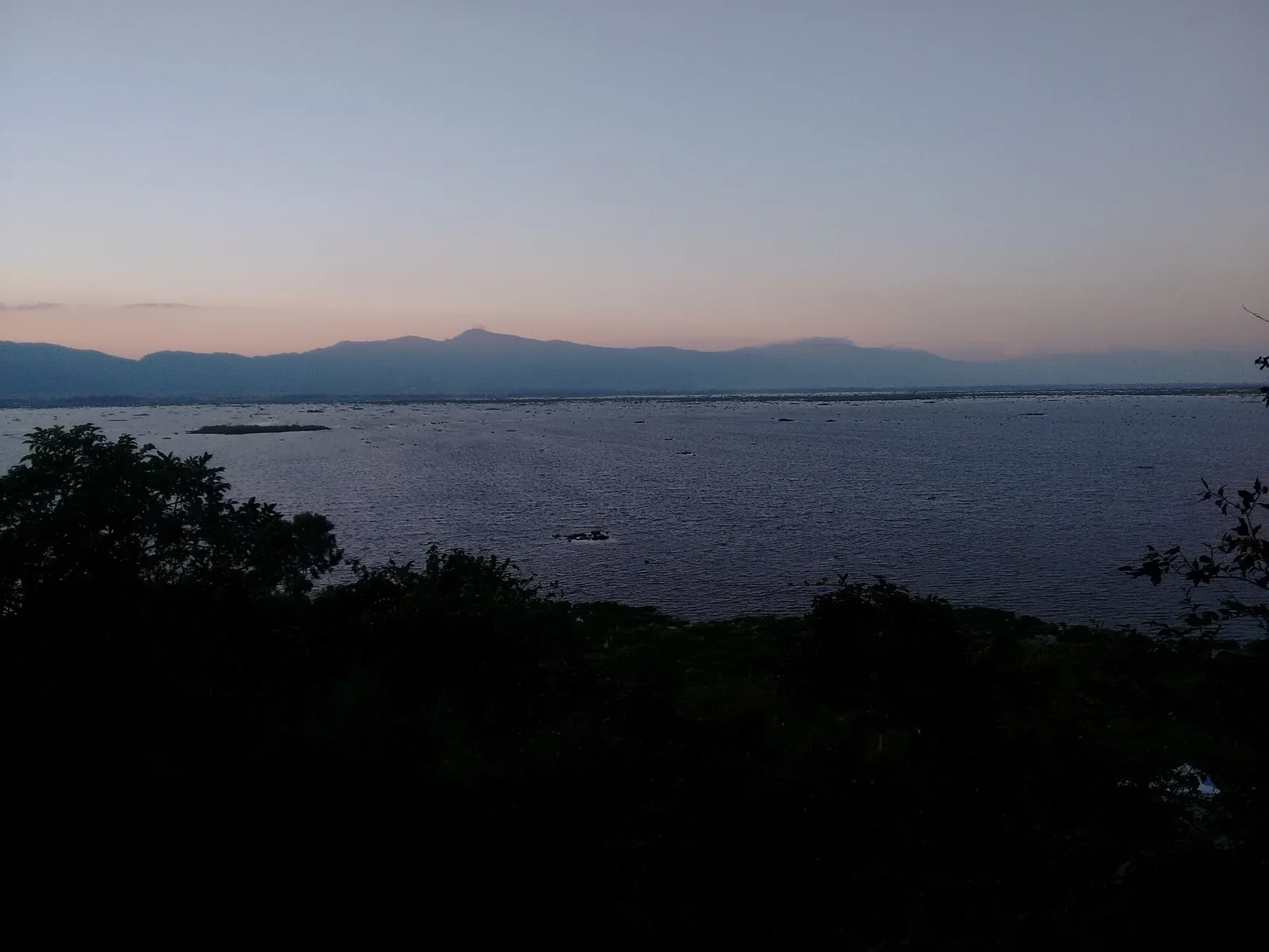
Keibul Lamjao National Park, near Churachandpur

City guide · Manipur

Churachandpur

Churachandpur, widely known locally as Lamka, is an important urban centre in southern Manipur and the headquarters of Churachandpur district. Its location in the Khuga River valley, where routes from Imphal meet roads leading towards Tipaimukh and Mizoram, makes it a regional hub for travel, trade and public services.

Famous for

  • Lamka road junction
  • Khuga River valley
  • Kuki-Zo culture
  • Handwoven shawls
  • Cane and bamboo crafts

Why Churachandpur matters

Churachandpur, widely known locally as Lamka, is an important urban centre in southern Manipur and the headquarters of Churachandpur district. Its location in the Khuga River valley, where routes from Imphal meet roads leading towards Tipaimukh and Mizoram, makes it a regional hub for travel, trade and public services. The urban area includes several settlements, among them Hiangtam Lamka, Zenhang Lamka and Rengkai. It is administered through the district’s Autonomous District Council rather than a municipality.

Visitors come to experience the town’s lively markets, its Kuki-Zo cultural life and the surrounding hills and valleys. Lamka is also a useful base for journeys into southern Manipur, though road conditions and access can vary. The names used for the town carry local significance: many residents prefer Lamka, while Churachandpur remains the official district and town name. The area has experienced serious ethnic violence in recent years, so travellers should check current security and travel advisories before planning a visit.
Famous for: crafts, trade & products

Lamka’s markets serve communities across southern Manipur, with everyday trade in food, clothing, household goods and agricultural produce. The town is not especially associated with a single large-scale industry or a widely recognised GI-tagged product. Instead, its local identity is reflected in small-scale commerce and the crafts and textiles of the surrounding communities. Handwoven shawls, wraps and other traditional garments can be encountered in local shops and market stalls; designs and meanings vary among communities and makers.

Cane and bamboo work, including baskets and practical household items, is another regional craft tradition. Availability changes, so visitors interested in particular pieces should ask local sellers or cultural organisations where artisans are currently offering their work. The central commercial streets and neighbourhood shops around the Lamka road junction are practical places to look for textiles, crafts and local produce. These are working markets rather than dedicated tourist bazaars, and choice can be seasonal. Buying directly from local makers, where possible, helps visitors learn about the materials and techniques behind an item rather than treating the town as a single-product shopping destination.

History

The Khuga valley around present-day Lamka was once largely forested and used for grazing. The British administration established an office at Songpi and gave that settlement the name Chura Chandpur in 1921, honouring Manipur’s Maharaja Churachand Singh. The name later shifted to the growing settlement near Hiangtam Lamka, a village at the meeting point of routes through the hills.

During the Kuki Rebellion of 1917–1919, the British built a road towards Hiangtam. In the Second World War, the Tedim Road became part of the fighting between British Indian and Japanese forces during the Imphal campaign. After independence, Manipur’s administration planned a new headquarters beside Hiangtam Lamka; it became known as New Churachandpur. The settlement grew around this administrative centre, and in 1969 the district took the name Churachandpur, dropping “New.” The town was later denotified and placed under the district’s Autonomous District Council. Lamka remains the name many residents use in everyday life.

Food, festivals & culture

Lamka’s culture reflects the many Kuki-Zo communities of the town and surrounding hills, alongside other residents of Manipur. Christianity has a strong presence, and churches are prominent community spaces; Hindu and Muslim places of worship also serve local residents. English and Manipuri are used in public life, while Kuki-Chin languages, including Thadou and Paite, are widely heard in the area. Language use varies by community and household.

Rice is a staple, often served with vegetables, herbs, smoked or fresh meat, and preparations using bamboo shoots. Food traditions differ across families and communities, so local eateries offer a better introduction than assuming one dish represents the whole town. Chavang Kut, generally celebrated after the harvest in autumn, is an important cultural festival for many Kuki communities, with singing, dancing and community gatherings. Christmas is also widely observed. Church music, gospel singing and contemporary music share space with traditional songs and dances, which are often performed at festivals and community events. Visitors should ask locally about public celebrations, as programmes and access can vary.

Visiting the city

The drier months, roughly October to April, are generally more comfortable for road travel and exploring the town; monsoon rains can affect journeys. Check current security advisories and local road conditions before setting out, as access can change. The nearest airport is Bir Tikendrajit International Airport in Imphal. Jiribam railway station is the nearest railhead, but onward travel to Lamka is by road and requires planning.

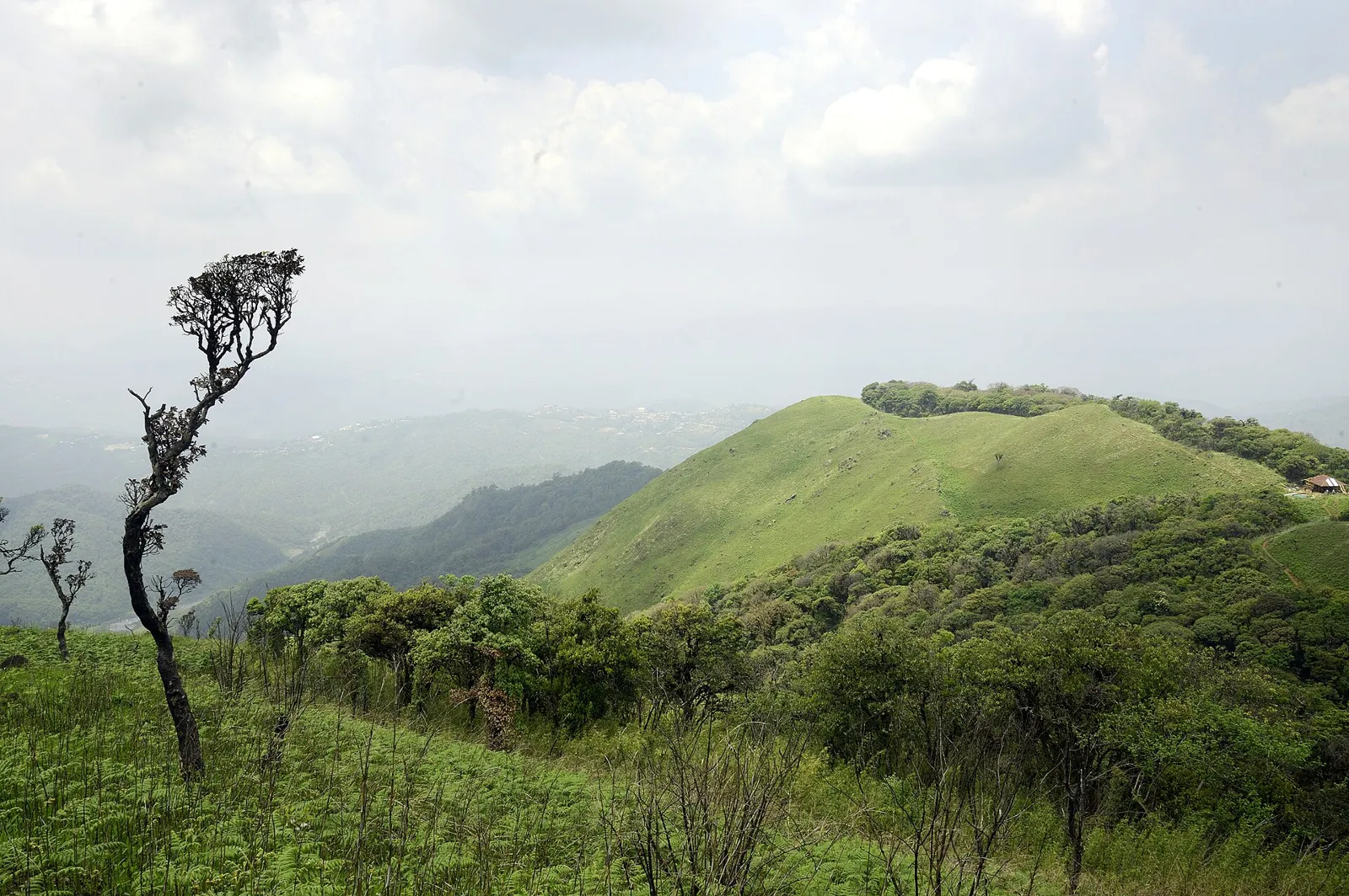
Local taxis and shared vehicles are common ways to get around, with walking useful in busy central areas. The Lamka road junction and nearby commercial streets offer a feel for everyday town life. Hiangtam Lamka, Zenhang Lamka and Rengkai are useful areas to explore, while the Khuga valley provides the broader landscape setting. Arrange longer excursions with local guidance, particularly when travelling beyond the town.

Trips from the city

Nearest places to visit from Churachandpur

Our closest destination guides, by straight-line distance.

Keibul Lamjao National Park

21 km away · Bishnupur district

Keibul Lamjao National Park

Keibul Lamjao is a floating national park in Loktak Lake, Manipur. Visitors are drawn by its unusual phumdi landscape and its role in protecting the endangered Eld’s deer.

Loktak Lake

27 km away · Bishnupur district

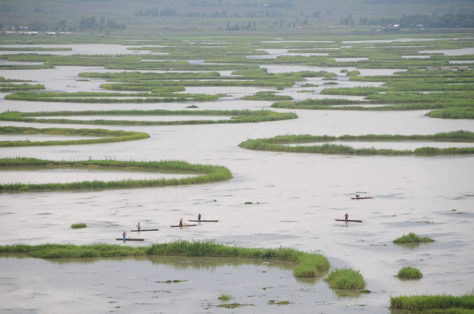
Loktak Lake

Manipur’s Loktak Lake is a seasonally changing freshwater body, known for its floating phumdis and Keibul Lamjao National Park. It also supports local livelihoods and provides water for several uses.

Shirui National Park

58 km away · Ukhrul district

Shirui National Park

Shirui National Park, in Manipur’s Ukhrul district, is a natural area established in 1982. Visitors come for its wildlife, the Shirui lily, and the nearby Shirui Kashong Peak viewpoint.

Ima Market

59 km away · Imphal West district

Ima Market

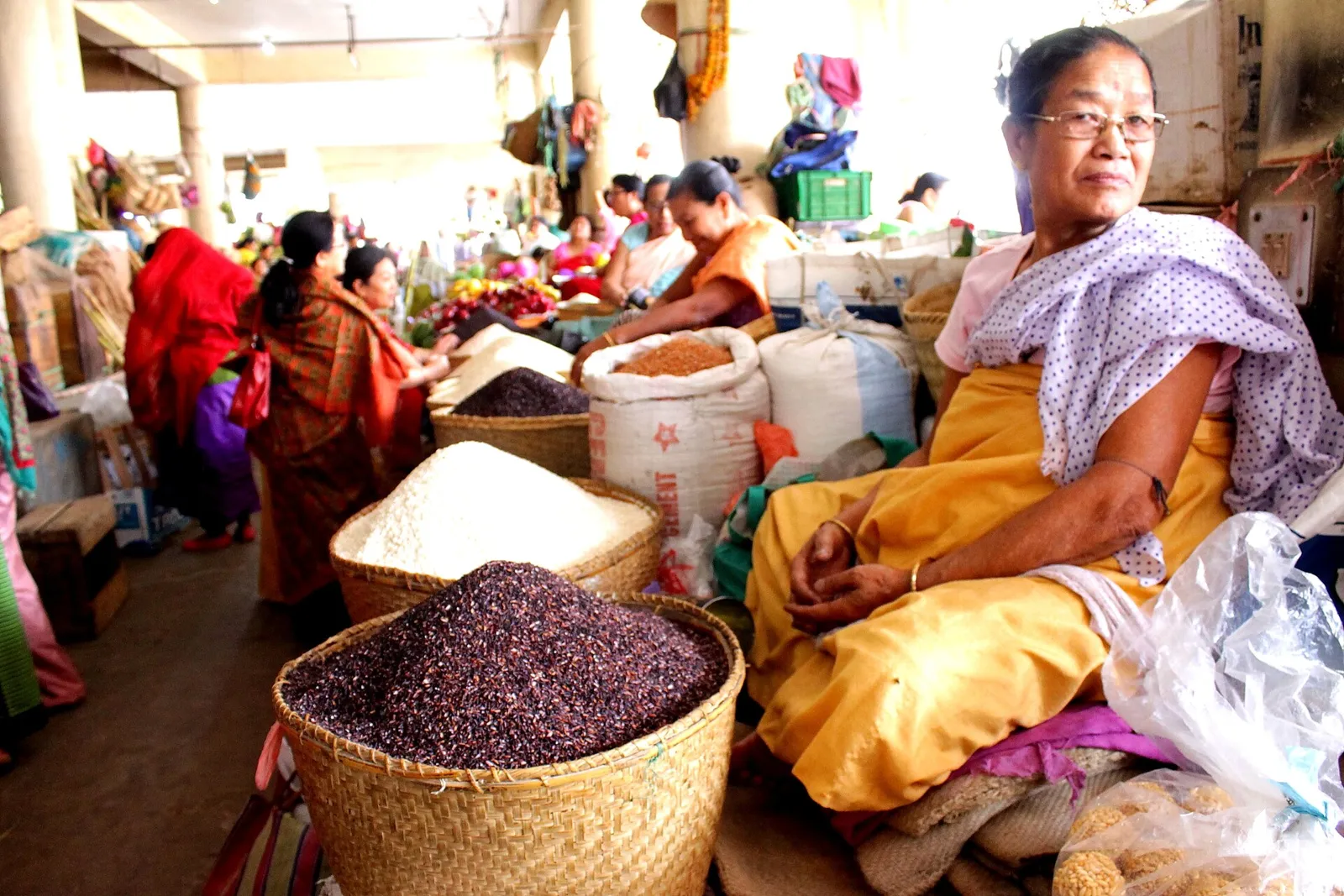
In central Imphal, Ima Market is a marketplace run exclusively by women, also known as Nupi Keithel and Khwairamband Keithel. Visitors come to see its many sellers and wide selection of goods.

Kangla Fort

59 km away · Imphal West district

Kangla Fort

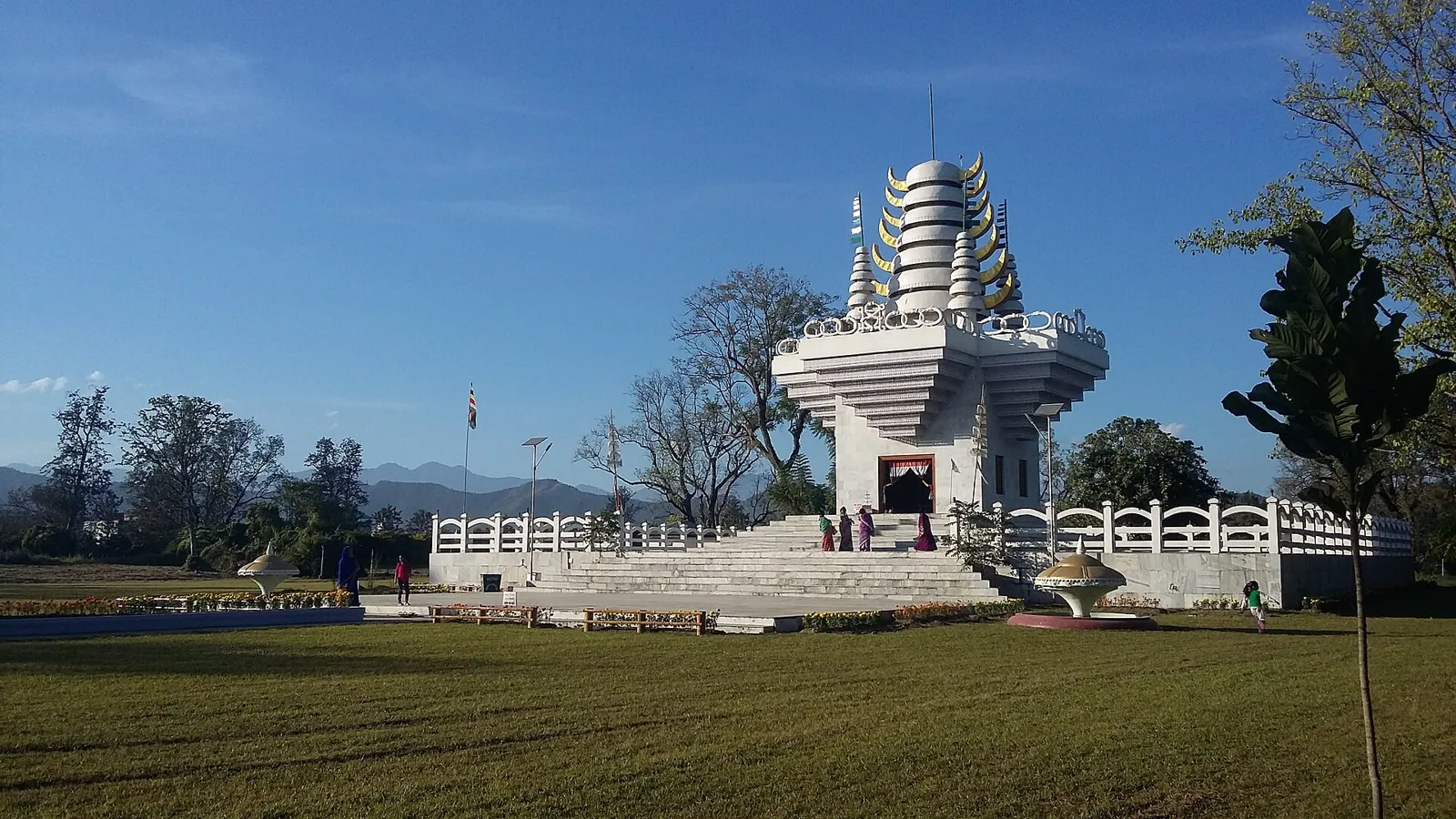
Kangla Fort is a historic royal complex in Imphal, Manipur, linked to the Meitei kings of the Ningthouja dynasty. Visitors come to see its palace buildings and cultural features.

Manipur State Museum

59 km away · Imphal West district

Manipur State Museum

Located in Imphal West, the Manipur State Museum brings together objects connected with art, culture, history and science. Visitors can explore its collections and galleries devoted to natural history, ethnology and archaeology.

Shree Govindajee Temple

59 km away · Imphal East district

Shree Govindajee Temple

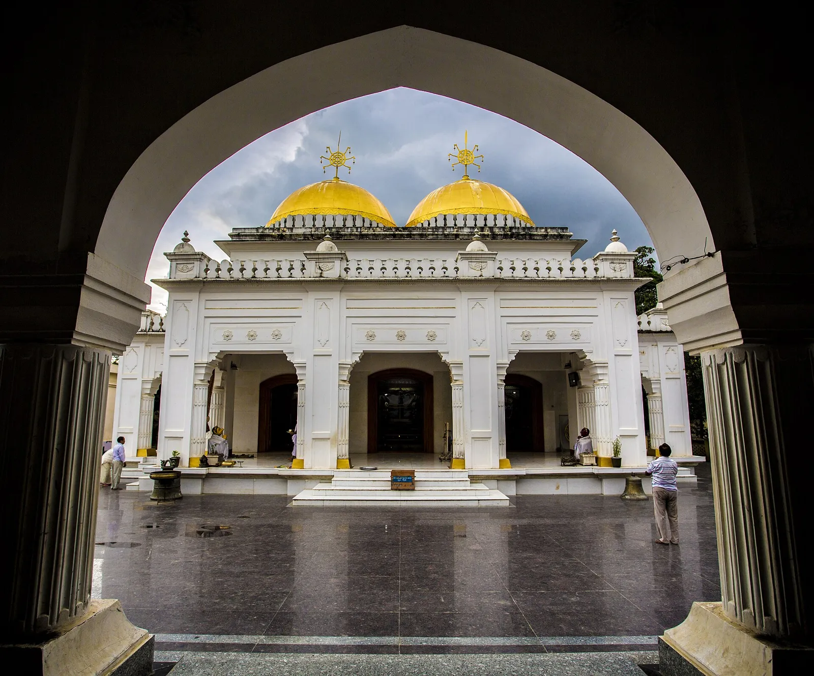
A Meitei Hindu shrine in Imphal East, Shree Govindajee Temple is dedicated to Radha and Krishna as Govindaji. Visitors come to worship at the largest Vaishnava temple in Imphal district.

61 km away · Imphal East district

Imphal War Cemetery

Imphal War Cemetery is a Second World War burial ground in Manipur’s capital. Visitors come to remember its 1,600 Commonwealth dead, including people killed in the Battle of Kohima and Imphal.

Map

Churachandpur on the map

  1. 1Keibul Lamjao National Park
  2. 2Loktak Lake
  3. 3Shirui National Park
  4. 4Ima Market
  5. 5Kangla Fort
  6. 6Manipur State Museum
  7. 7Shree Govindajee Temple
  8. 8Imphal War Cemetery

Manipur

Other cities to explore