Ghumoopedia — Explore, Discover, Experience
Sign in
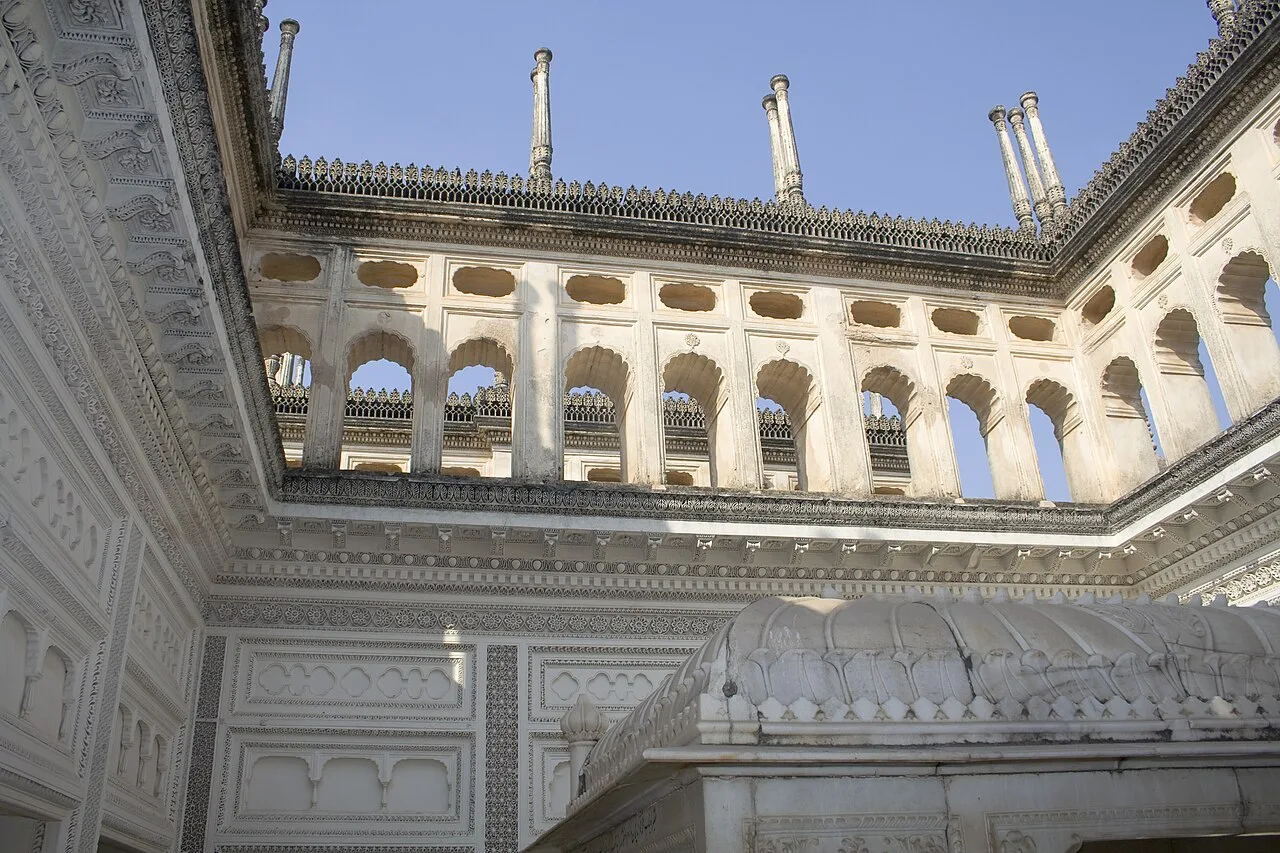
Paigah Tombs, near Ghatkeser

City guide · Telangana

Ghatkeser

Ghatkesar is a satellite town on Hyderabad’s eastern outskirts, in Medchal–Malkajgiri district. It serves as the headquarters of Ghatkesar mandal in the Keesara revenue division and lies within the Hyderabad Metropolitan Development Authority area.

Famous for

  • Hyderabad satellite-town growth
  • Ghatkesar railway connectivity
  • Engineering and university campuses
  • Warangal Highway access
  • Outer Ring Road connections

Why Ghatkeser matters

Ghatkesar is a satellite town on Hyderabad’s eastern outskirts, in Medchal–Malkajgiri district. It serves as the headquarters of Ghatkesar mandal in the Keesara revenue division and lies within the Hyderabad Metropolitan Development Authority area. Its importance today comes less from a single landmark than from its role as a growing residential, educational and transport centre linked to the capital region.

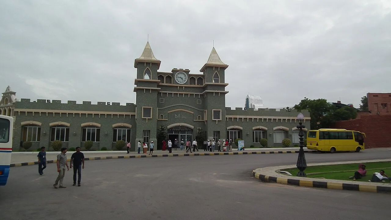
The Warangal Highway, Outer Ring Road and rail services connect the town and nearby communities with Hyderabad and other parts of Telangana. Uppal’s metro station provides an onward connection to the wider city network. Colleges around Ghatkesar draw students from across the region, while local shops and services support residents and commuters. Visitors may use the town as a practical stop or base for exploring Hyderabad’s eastern suburbs, but Ghatkesar is not chiefly a heritage-tourism destination; its character is that of a busy, expanding town shaped by metropolitan growth.
Famous for: crafts, trade & products

Ghatkesar is best known locally for its expanding residential and education belt rather than for a distinctive textile, handicraft or GI-tagged product. Its links to the Warangal Highway and Outer Ring Road have encouraged development in and around nearby places such as Rampally, Narapally, Boduppal and Peerzadiguda. The town has everyday retail businesses, including electrical, automobile, electronics and clothing shops. For practical purchases, visitors can look around the town’s commercial streets and shops near its transport hubs; it is not a destination market for a particular regional craft or specialty product.

Education is a prominent part of the area’s identity. Nearby institutions include Sreenidhi Institute of Technology and Science at Yamnampet, Anurag University at Venkatapur, and engineering colleges in Aushapur, Ankushapur, Edulabad and Ghatkesar. Schools in the wider area include Kendriya Vidyalaya at NFC Nagar and Delhi Public School, Ghatkesar. These campuses, along with growing housing and local services, give the town much of its contemporary profile.

History

Ghatkesar’s development is best understood through the history and outward growth of the Hyderabad region. The town and its surroundings formed part of the broader Telangana landscape, shaped over time by regional powers and, later, by the Nizams of Hyderabad. During the colonial era, Hyderabad was a princely state under the Nizam, rather than a town governed directly by the British. Ghatkesar itself is not widely associated with a prominent royal centre or a well-known historic monument.

For much of its recent past, it functioned as a local settlement and mandal centre serving surrounding villages. Its role changed as Hyderabad expanded eastward. Improved road links, including the Warangal Highway and Outer Ring Road, rail connectivity and the growth of educational campuses helped draw housing, shops and services to the area. Today, Ghatkesar is part of the metropolitan region and reflects the shift from a largely local centre to a suburban town connected to Hyderabad’s wider economy.

Food, festivals & culture

Daily life in Ghatkesar reflects the wider Hyderabad–Telangana region. Telugu is widely spoken, alongside Urdu and Hindi, and food ranges from everyday rice-and-curry meals to familiar Hyderabadi dishes such as biryani. Telangana favourites such as sarva pindi and seasonal sweets and savouries may be found in local homes and eateries, though the town is not especially known for a signature dish.

Residents observe festivals including Sankranti in January, Bonalu during the summer and monsoon season, and Bathukamma around September or October. Dasara, Diwali, Ramadan and Eid are also important occasions across the diverse community. Local celebration may include devotional music, processions and Telangana folk performance traditions, including dappu drumming. Temples and mosques serve neighbourhoods and provide places for worship and community gatherings; Ghatkesar is not known for a major pilgrimage complex or a single landmark shrine.

Visiting the city

The cooler months, roughly October to February, are generally the most comfortable time to visit. The nearest major airport is Rajiv Gandhi International Airport. Ghatkesar railway station serves the town, with rail and MMTS connections linking it to the Hyderabad region. Local buses, auto-rickshaws and app-based cabs are useful for getting around; for longer journeys, road connections include the Warangal Highway and Outer Ring Road. Uppal is a useful onward connection for metro travel into Hyderabad, though the metro does not serve Ghatkesar itself. Within the area, explore the town centre and its everyday shops, or visit the educational and residential belt around Yamnampet, Venkatapur and nearby communities. For major museums and heritage sights, plan time in Hyderabad.

Trips from the city

Nearest places to visit from Ghatkeser

Our closest destination guides, by straight-line distance.

18 km away · Yadadri Bhuvanagiri district

Pochampally Ikat Village

Bhoodan Pochampally is a census town in Telangana known for its handloom Ikat sarees. Visitors are drawn by its textile production and the many looms used to make them.

Paigah Tombs

22 km away · Hyderabad district

Paigah Tombs

The Paigah Tombs are a Hyderabad burial complex for the Paigah nobility, valued for their mosaic and stucco work and for architectural features that distinguish Khursheed Jah Bahadur’s family mausoleum.

Ramoji Film City

22 km away · Ranga Reddy district

Ramoji Film City

Ramoji Film City is a large film-production complex in Telangana, near Hyderabad. Visitors come for its studio facilities, film sets, natural landscapes and amusement park.

Shamirpet Lake

22 km away · Medchal–Malkajgiri district

Shamirpet Lake

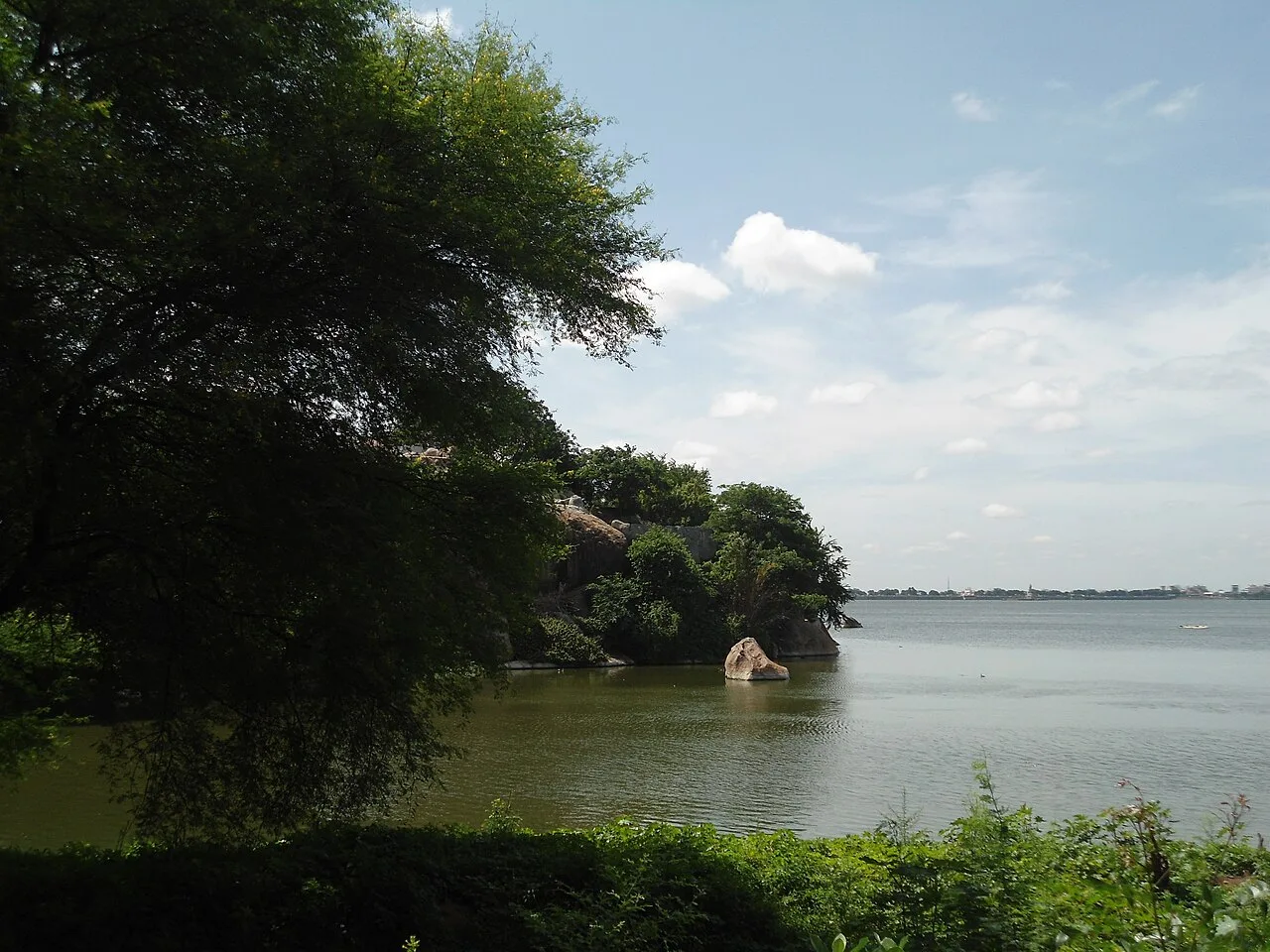
Shamirpet Lake, also called Pelle Cheruvu, is a man-made water body in Telangana, close to Hyderabad. Visitors come to see the lake and spend time beside it.

Bhongir Fort

23 km away · Yadadri Bhuvanagiri district

Bhongir Fort

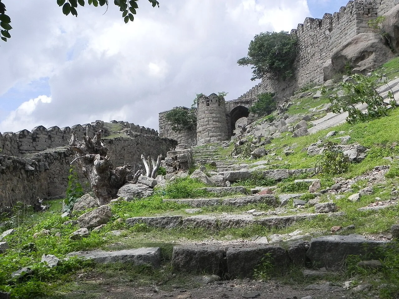
Bhongir Fort, also known as Bhuvanagiri Fort, is a stronghold in Telangana that visitors come to see for its elevated rocky setting within Bhongir.

Birla Mandir, Hyderabad

23 km away · Hyderabad district

Birla Mandir, Hyderabad

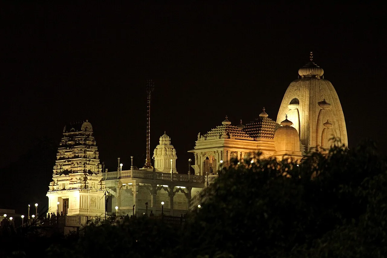
Birla Mandir is a Hindu place of worship in Hyderabad, built on a 280-foot hill. People visit the temple to worship; it was established by the Birla Foundation and opened in 1976.

Hussain Sagar

23 km away · Hyderabad district

Hussain Sagar

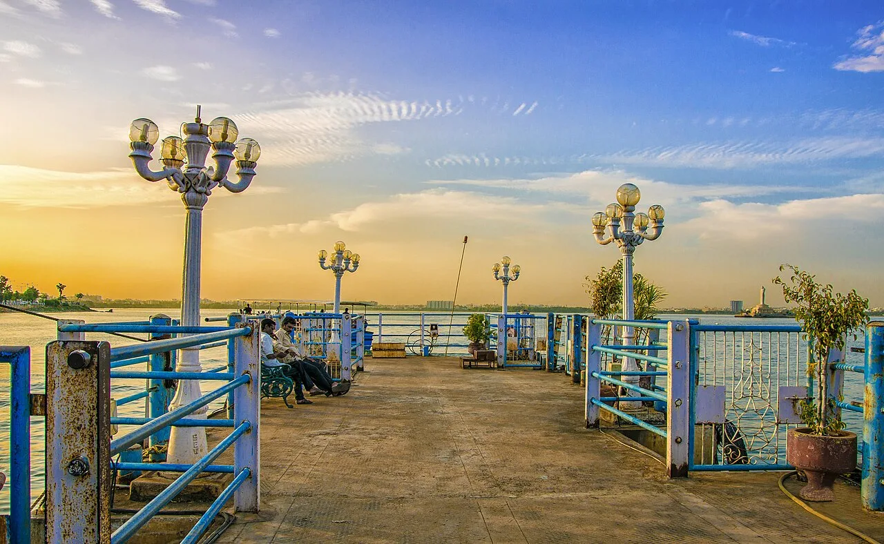
Hussain Sagar is a lake in Hyderabad, known for its heart-like shape and the Gautama Buddha statue at its centre. Visitors come to see these features and the setting between Hyderabad and Secunderabad.

Lumbini Park

23 km away · Hyderabad district

Lumbini Park

Lumbini Park is a compact public park beside Hussain Sagar in Hyderabad. Visitors come for boat trips to the lake’s central Buddha statue and its closeness to city attractions.

Map

Ghatkeser on the map

  1. 1Pochampally Ikat Village
  2. 2Paigah Tombs
  3. 3Ramoji Film City
  4. 4Shamirpet Lake
  5. 5Bhongir Fort
  6. 6Birla Mandir, Hyderabad
  7. 7Hussain Sagar
  8. 8Lumbini Park

Telangana

Other cities to explore