
Ghumoopedia — Explore, Discover, Experience
Sign in
Dirang, near Dirang

City guide · Arunachal Pradesh

Dirang

Dirang is a town in Arunachal Pradesh’s West Kameng district, associated with NIMAS and a major geothermal project proposed to make it India’s first geothermal-powered town.

Famous for

  • Monpa Buddhist heritage
  • Dirang Dzong
  • NIMAS adventure training
  • Yak research centre
  • Geothermal energy project
In the city
1
Nearby
1
Districts
West Kameng, Tawang

Why Dirang matters

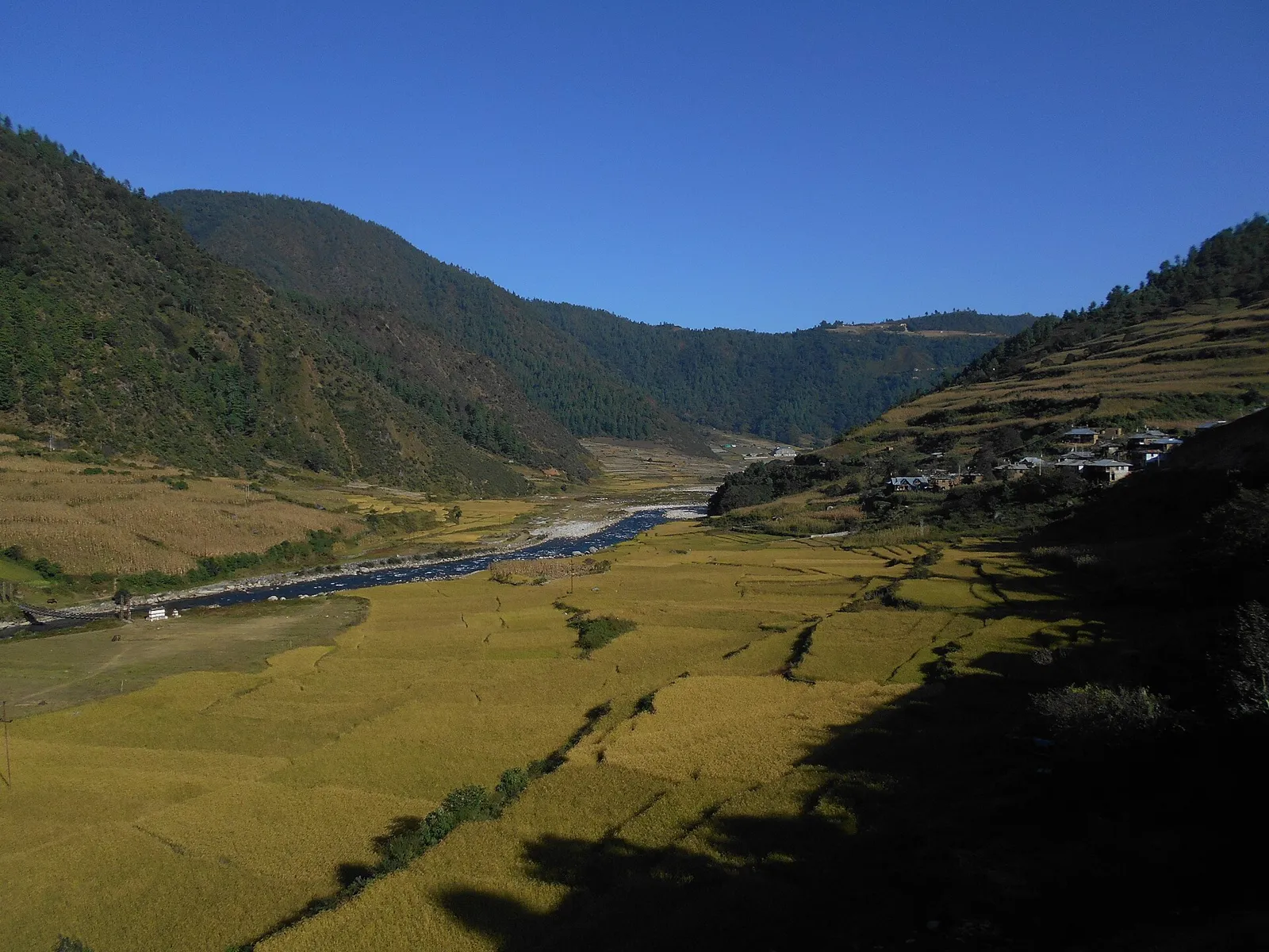
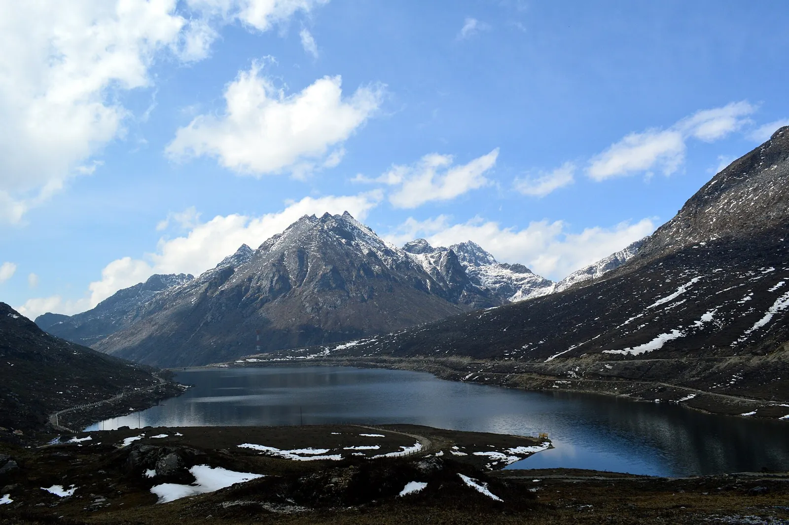
Dirang is a small town in West Kameng district, set along National Highway 13 on the mountain route between the Assam plains and Tawang. Its position makes it a useful stop for travellers heading towards Sela Pass and Tawang, as well as a base for exploring nearby valleys, monasteries and Monpa settlements. The landscape of river valleys, forested slopes and high mountain scenery is a major part of its appeal.

Dirang is also known for institutions with a wider regional role. The National Institute of Mountaineering and Adventure Sports (NIMAS) is based here, and the National Research Centre on Yak supports research into yak husbandry. A geothermal energy project is being explored with the long-term aim of supplying the town with geothermal power. Visitors can learn about local Buddhist traditions, see the historic Dirang Dzong and visit the Nyukmadong War Memorial north of town. Together, these cultural, outdoor and energy-related connections give Dirang significance beyond its role as a mountain stopover.
Famous for: crafts, trade & products

Dirang is not a major textile or commercial manufacturing centre, and no widely recognised GI-tagged product is specifically associated with the town. Its local craft traditions are part of the wider Monpa cultural region: visitors may come across handwoven woollen clothing, carpets, bamboo and cane work, and carved wooden objects. What is available varies, so the town market and small local shops are the most practical places to ask about locally made items. For a more meaningful purchase, ask whether an item was made locally and whether the maker or community can be identified.

The town’s best-known institutions include NIMAS, which provides mountaineering and adventure-sports training, and the National Research Centre on Yak, an important centre for yak-related research. These are not ordinary retail attractions, and access may depend on institutional arrangements. Dirang’s market mainly serves residents and travellers with everyday provisions rather than functioning as a specialist craft bazaar. Local produce and seasonal goods may appear in shops, but availability changes through the year. Geothermal energy exploration is an emerging project, not a product visitors can currently buy or tour as a commercial attraction.

History

Dirang’s history is closely connected with the Monpa communities of the western Arunachal Himalaya. The area’s settlements, Buddhist institutions and mountain routes developed within a region shaped by local agriculture, pastoral life and links across the highlands. Dirang Dzong, a fortified settlement above the modern town, reflects the area’s older defensive and community history; precise accounts of its origins are limited, so it is best understood as part of the region’s historic built heritage rather than assigned a confident founding date.

During the twentieth century, roads and administrative services strengthened Dirang’s role as a link between the Assam plains, Bomdila and Tawang. The 1962 India-China conflict left a lasting mark on the surrounding region. The Nyukmadong War Memorial, on the highway north of town, commemorates Indian soldiers who fought there. In modern times Dirang has developed as a West Kameng service centre and a base for mountain travel, research and training. More recently, geothermal exploration has added an energy-development dimension to its story.

Food, festivals & culture

Monpa traditions shape much of Dirang’s cultural life, alongside the customs of other communities in West Kameng. Monpa languages and varieties are spoken locally; Hindi is useful for communication, and English is used in schools and official settings. Buddhist monasteries and prayer spaces are important places of worship, while Dirang Dzong offers a glimpse of the area’s older settlement traditions. Visitors should dress respectfully and ask before photographing people or religious ceremonies.

Meals commonly reflect the Himalayan region, with warming soups, thukpa, momos and dishes made with rice, barley or other grains. Butter tea is also associated with highland food traditions. There is no single celebrated sweet that defines Dirang; small eateries and family kitchens are better places to encounter everyday local cooking. Losar, the Tibetan New Year observed in winter or early spring, is an important seasonal celebration among Buddhist communities. Monasteries also host religious observances during the year, with prayer, ritual music and community gatherings; dates and public access vary. Local song, dance and festive dress are best experienced during community celebrations rather than assumed to be staged daily.

Visiting the city

October to April is generally a comfortable period to visit, with clear conditions often favouring mountain views; winter can be cold. The monsoon brings heavy rain and can disrupt road journeys. Tezpur Airport (Salonibari) is the nearest practical airport, while Lokpriya Gopinath Bordoloi International Airport in Guwahati has more connections. Rangapara North Junction is a useful nearby railway station for onward road travel.

Dirang lies on NH-13 and is commonly reached by road via Bhalukpong and Bomdila. Shared vehicles and taxis connect towns along the route, while a hired vehicle is useful for nearby sights. Explore the town centre and market, Dirang Dzong and nearby monasteries; allow time for the valley and villages around Dirang. Nyukmadong War Memorial lies north of town on the highway towards Sela. Check road and weather conditions before setting out for higher elevations.

Attractions

Places to visit in Dirang

Sights within about 12 km of each other, even when they fall in different districts.

Short trips

Around Dirang

Within about 40 km — easy half-day or day trips from the city.

Map

Dirang on the map

  1. 1Dirang
  2. 2Sela Pass

Arunachal Pradesh

Other cities to explore