
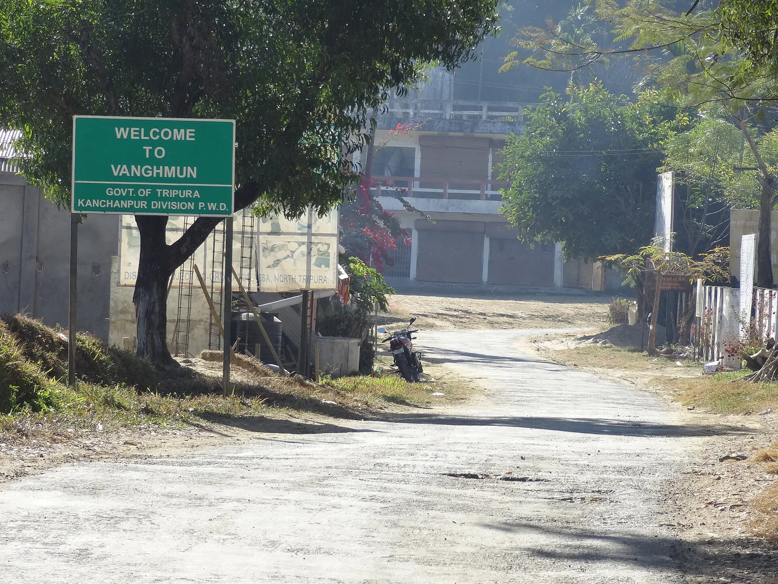
District · Tripura
North Tripura
North Tripura offers a quieter view of Tripura’s northern frontier, where settled valleys and small towns meet forested hills.
North Tripura stretches from settled valleys and lowlands to forested uplands along the state’s northern edge. Jampui Hills, part of the Mizo hill range, gives the district a cooler, elevated landscape, while Rowa Wildlife Sanctuary protects a patch of tropical forest. The district’s towns and villages reflect Tripura’s wider mix of Indigenous communities and Bengali-speaking residents, with cultural influences that cross state and international borders. Tripura was once a princely state, and its history is reflected in the region’s layered languages, customs and settlement patterns. North Tripura is less a single sightseeing circuit than a varied area of hill country, small towns and rural landscapes.
North Tripura offers a quieter view of Tripura’s northern frontier, where settled valleys and small towns meet forested hills. It is best known among visitors for Jampui Hills, with its cooler upland setting and broad views, and Rowa Wildlife Sanctuary, a compact protected forest area. The district also reflects Tripura’s varied communities and cultural connections with neighbouring parts of the Northeast and Bangladesh. Rather than a single, tightly linked sightseeing circuit, North Tripura suits travellers who want to combine a hill stay with rural scenery and a small-town base. Allow time for winding roads and changing terrain between its attractions.
North Tripura’s history is part of the wider history of the Tripura kingdom, also known as Twipra, ruled for centuries by the Manikya dynasty. The kingdom’s political centres shifted over time, and its histories include relationships with neighbouring powers in the Northeast and Bengal. British influence grew during the colonial period, while Tripura remained a princely state rather than a directly administered British province. The state joined the Indian Union in 1949 and became a full state in 1972. The district’s present administrative shape reflects later reorganisation: in 2012, Tripura’s districts were reorganised and Unakoti was separated from the former North Tripura district. The area’s settlements and cultural life reflect both Indigenous communities and Bengali-speaking residents, as well as older links across present-day state and national borders. Local histories may differ between communities, so accounts of the region are best understood as part of this broader, layered past rather than as a single narrative.
2 destination guides
Jampui Hills
Jampui Hills is a hill range in Tripura’s North Tripura district, within the Mizo Hills, also known as the Lushai Hills. Visitors come for its elevated hill setting, which averages about 1,000 metres above sea level.
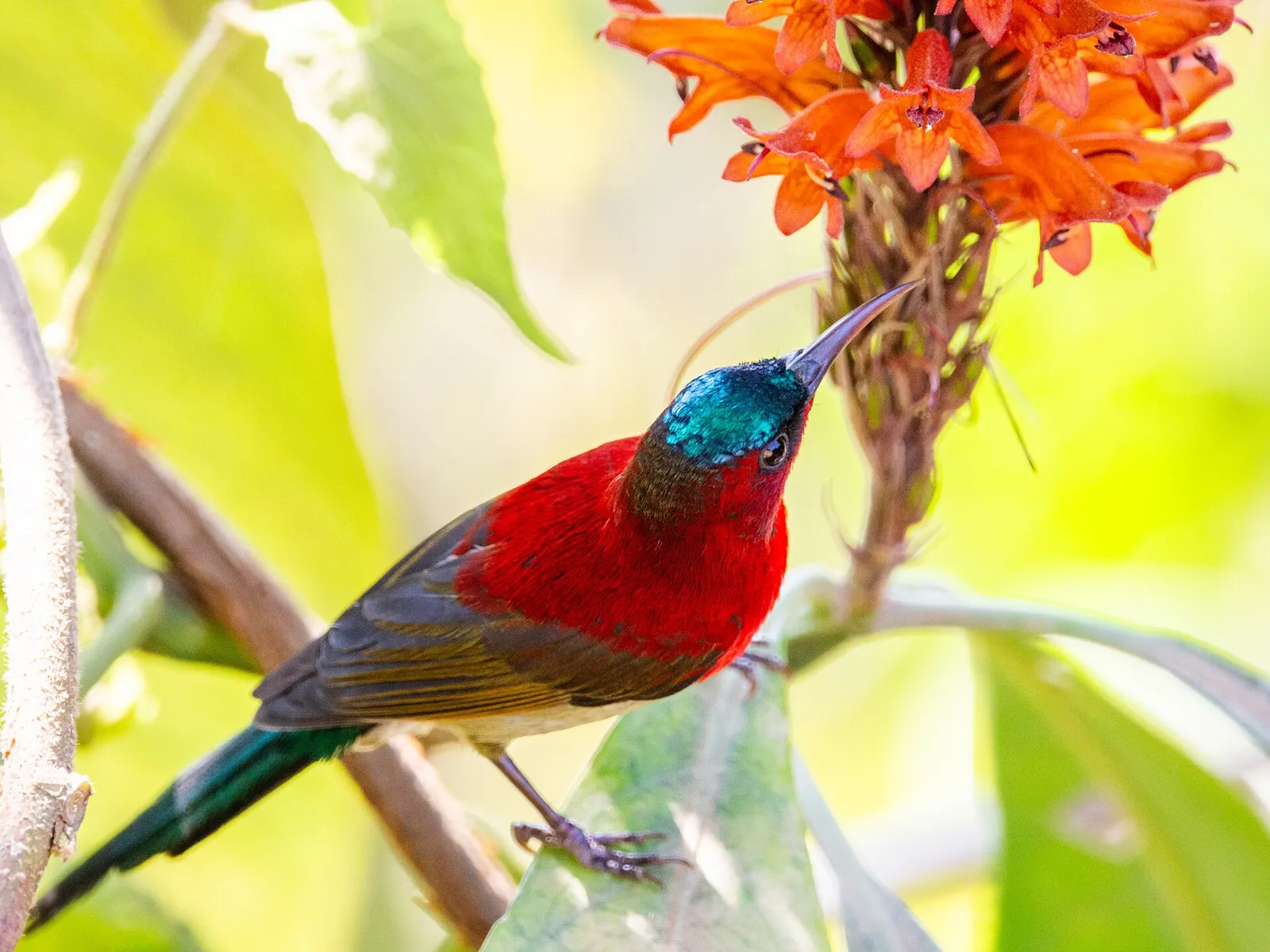
Rowa Wildlife Sanctuary
Rowa Wildlife Sanctuary is a protected area in Tripura’s North Tripura district, near Panisagar. Visitors come to encounter its wildlife and natural surroundings.
Food in North Tripura draws on the wider cuisines of Tripura and neighbouring communities. Local dishes include mui borok, in which fermented berma fish adds a distinctive savoury flavour; wahan mosdeng, a chilli-seasoned pork dish; and chakhwi, a vegetable stew. Bengali-style fish curries are also common. Small eateries may prepare only a limited menu each day, so ask what is fresh. Pork, fish and fermented ingredients feature in many local food traditions. Vegetarian meals can often be arranged in towns, but it helps to explain dietary needs clearly; carry water and snacks when visiting remote sites.
Handloom weaving and work with bamboo and cane are part of Tripura’s wider craft traditions, including those practised by communities in and around North Tripura. Traditional garments such as the rignai and risa are associated with Tripuri weaving, while other communities have their own patterns and textile styles. Bamboo and cane are used for practical household objects and woven goods. These are regional traditions rather than crafts exclusive to this district; what visitors find for sale can vary between towns and villages.
Garia Puja, associated with Tripura’s Indigenous communities, is generally celebrated in spring, while Kharchi Puja is held in the wider state during the monsoon season. Durga Puja brings seasonal celebrations in Bengali-speaking communities, and Christmas is observed in Christian communities, including in the Jampui Hills region. Dates vary by year and by local observance. These festivals can bring visitors and local families into town centres, with busier services and greater demand for rooms around prominent celebrations. If travelling during a festival period, confirm accommodation availability in advance.
The district runs from settled lowlands and river valleys to forested uplands near Tripura’s northern edge. The Manu River and smaller waterways shape parts of the valley landscape, while Jampui Hills forms a prominent elevated area along the Mizo hill range. Rowa Wildlife Sanctuary protects a small tract of tropical forest. Roads between towns and hill settlements often follow valleys before climbing through winding terrain; journeys can therefore take longer than a map suggests.
North Tripura has a humid subtropical climate, with a warm summer generally from March to May, a rainy monsoon period from about June into September, and a cooler, drier winter. Winter and the months around it, especially October to March, are usually the most comfortable time for hill visits and road travel. Monsoon brings lush scenery but can also mean heavy rain, slippery surfaces and delays. Pack light clothing for the lowlands, a warm layer for evenings in Jampui Hills, comfortable walking shoes and rain protection if travelling during or near the wet season. Check local conditions before setting out.
Dharmanagar railway station is a useful railhead for North Tripura; Bairabi, across the state border in Mizoram, may be relevant for journeys toward Jampui Hills. Lengpui Airport near Aizawl is a regional option cited for some northern destinations, while Agartala’s Maharaja Bir Bikram Airport and Guwahati serve as broader gateways. Road journeys connect the district with Agartala and other parts of Tripura, but hill routes can be winding and take much longer than map distances suggest. Buses, shared vehicles and hired cars are used for local travel; remote sites may require advance planning. Check current services locally before travelling.
Road is the practical way to move between Dharmanagar, the approaches to Rowa Wildlife Sanctuary and Jampui Hills. Local buses and shared vehicles serve some town and village routes, while hired cars or taxis offer more flexibility, particularly for hill travel and visits to remote sites. Autos are useful for shorter journeys within towns but should not be assumed available for the full hill route. Services may be less frequent outside larger settlements, so plan connections locally and arrange onward transport ahead of time. There are no relevant visitor boat routes for these sights.
Dharmanagar is the most practical town base for reaching Rowa Wildlife Sanctuary and arranging onward road travel. For a hill-focused visit, stay in or near Jampui Hills, where accommodation options are more limited and should be confirmed ahead. The district generally offers town hotels and guesthouses, with some homestays and local lodging in hill settlements; facilities can be simple outside the main towns. Government accommodation may be available in some places, but availability and booking arrangements can change. Dharamshalas are not a dependable option everywhere, so check locally before relying on one.
Carry drinking water and basic medicines, and use safe treated or bottled water where its source is uncertain. Rowa is a forest sanctuary, so follow staff instructions, stay on permitted routes and do not approach or feed wildlife. Mobile connectivity may be patchy in upland and remote areas; let someone know your plans. Check weather and road conditions before travel, especially in the monsoon. Confirm current sanctuary entry requirements with the relevant forest authorities; do not assume that rules or access arrangements are unchanged.
- Unakotiabout 26 km
- Kolasib · Mizoramabout 47 km
- Mamit · Mizoramabout 62 km
- Khowaiabout 63 km
- Aizawl · Mizoramabout 66 km
- Saitual · Mizoramabout 86 km
- West Tripuraabout 101 km
- Gomatiabout 106 km
Straight-line distance between the centres of each district's destinations; road distance is longer.
All districts of Tripura
Q: How many days should I spend in North Tripura? A: Two days can cover both listed destinations at a brisk pace; three days allow more time for the hill journey and a night in Jampui Hills. Q: When is the best time to visit? A: October to March is generally the most comfortable period. Monsoon scenery is appealing, but rain can affect roads and travel plans. Q: What is the best base? A: Dharmanagar is practical for Rowa Wildlife Sanctuary; stay in or near Jampui Hills for a hill-focused visit. Q: How do I get to North Tripura? A: Dharmanagar railway station is a useful railhead. Road travel connects the district with other parts of Tripura; check current services and onward transport locally. Q: Is North Tripura suitable for families or elderly travellers? A: It can suit visitors comfortable with long, winding road journeys. Families and older travellers should plan rest stops, check accommodation access and consider limiting travel in poor weather.
This page draws on our 2 destination guides for North Tripura and is updated as our team checks it.
Be the first to share photos, stories, advice or a helpful contact for North Tripura.
Loading…