
Ghumoopedia — Explore, Discover, Experience
Sign in
Achanakmar Wildlife Sanctuary, near Gaurella

City guide · Chhattisgarh

Gaurella

Gaurella is an administrative and transport centre in northern Chhattisgarh. It serves as the headquarters of Gaurella-Pendra-Marwahi district and is closely linked with neighbouring Pendra; the two towns are often treated as a twin-town area.

Famous for

  • Gateway to Amarkantak
  • Pendra Road railway station
  • Gaurella–Pendra twin towns
  • GPM district headquarters
  • Arpa river region
In the city
0
Nearby
1
District
Bilaspur
Plan a trip

Why Gaurella matters

Gaurella is an administrative and transport centre in northern Chhattisgarh. It serves as the headquarters of Gaurella-Pendra-Marwahi district and is closely linked with neighbouring Pendra; the two towns are often treated as a twin-town area. Gaurella is also commonly associated with the name Pendra Road, after its railway station on the Bilaspur–Katni route. The town’s position makes it a useful point of arrival for journeys through the surrounding region.

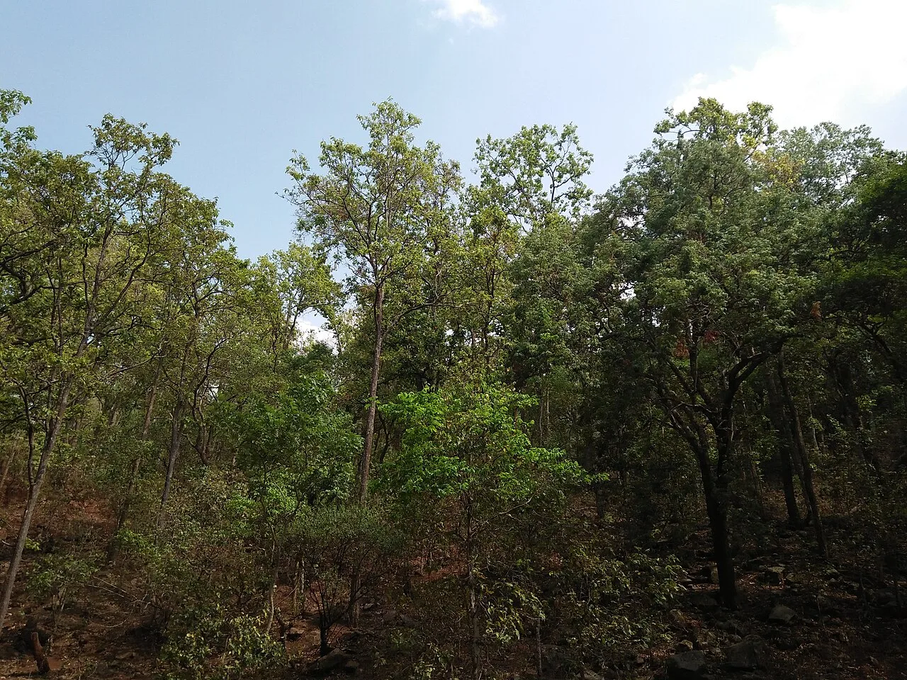
Many visitors use Pendra Road station as a rail gateway to Amarkantak, a pilgrimage destination about 30 kilometres away in Madhya Pradesh and the source region of the Narmada. The wider landscape is shaped by rivers including the Arpa, Son, Johila and Tipan. Gaurella itself is a modest town rather than a large sightseeing centre, but its district services, rail access and proximity to Amarkantak give it importance for residents, travellers and pilgrims. Its appeal also lies in its quieter setting and role as a base for exploring the forested highlands and nearby towns.

Famous for: crafts, trade & products

Gaurella is best known for its administrative role, railway connection and access to Amarkantak, rather than for a widely recognised textile, handicraft or GI-tagged product. There is no distinct local craft or signature industrial product that can be confidently identified as a defining feature of the town. Visitors should therefore treat it primarily as a service centre and travel base, not as a specialist shopping destination.

Everyday shopping is concentrated around the town’s commercial streets and the connected Pendra area, where local shops serve residents with groceries, clothing, household goods and travel necessities. These are practical places to browse for daily-use items and regional snacks, though particular products and availability vary. Gaurella’s district offices and public services are also important local institutions. For a more distinctive excursion, travellers can continue towards Amarkantak for its pilgrimage sites and surrounding natural attractions; those seeking regional handicrafts or specialty goods should ask locally about current availability rather than expect a dedicated craft market. The town’s strongest “trade” identity is its role linking nearby communities by road and rail.

History

Gaurella’s development is closely connected with its position on the rail corridor between Bilaspur and Katni. The station known as Pendra Road made the area a practical point of arrival for travellers heading towards Pendra and the Amarkantak region. Over time, the adjoining settlements of Gaurella and Pendra became closely linked in everyday movement and services, while retaining their own place names.

The town’s more recent importance comes from its role as the headquarters of Gaurella-Pendra-Marwahi district. Government offices and associated services have strengthened its position as a local administrative centre for surrounding communities. The landscape around Gaurella also gives it a regional identity: rivers such as the Arpa, Son and Johila are associated with nearby villages and the broader highland region. A detailed sequence of local rulers or colonial-era events is not firmly established in the commonly available account of the town, so its history is best understood through its growth as a rail-linked settlement and district centre rather than through a single landmark or dynasty.

Food, festivals & culture

Daily life reflects the wider culture of Chhattisgarh and the neighbouring highland region. Rice, lentils, seasonal vegetables and local greens are familiar parts of home cooking; visitors may also encounter regional snacks such as chila or fara, though these are not unique to Gaurella. Hindi and Chhattisgarhi are commonly useful languages for visitors, with language use varying between families and communities.

Holi, Diwali and Navratri are observed alongside Chhattisgarh’s seasonal and rural festivals, including Hareli, Pola and Teeja. Their timing follows the regional calendar, with several celebrations linked to the monsoon, harvest and agricultural life. Folk traditions across the state include forms such as Panthi and Raut Nacha, which may be seen at community or festival gatherings rather than as scheduled town performances. Worship and pilgrimage shape the area’s visitor culture: Gaurella is a gateway to the sacred landscape of Amarkantak, while Jwaleshwar Mahadev Temple is in nearby Tawadbara. Local temples and neighbourhood observances provide a more everyday view of religious life.

Visiting the city

The cooler months, roughly October to February, are generally comfortable for exploring Gaurella and making day trips to Amarkantak. The monsoon, usually July to September, brings rain and greener scenery, but can make road travel less predictable. February is normally the driest month according to the local climate pattern.

The main railway station is Pendra Road, on the Bilaspur–Katni route. The nearest airports listed for the area are Bilaspur, about 100 kilometres away; Raipur, about 226 kilometres away; and Jabalpur, about 270 kilometres away. Buses, taxis and private vehicles connect the town with nearby destinations; road approaches include Bilaspur, Shahdol, Ambikapur, Katni and Jabalpur. In town, explore the central commercial and district-office areas, then cross into nearby Pendra to see the connected twin-town setting. Pendra Road station is a useful arrival point for onward travel to Amarkantak.

Short trips

Around Gaurella

Within about 40 km — easy half-day or day trips from the city.

Map

Gaurella on the map

  1. 1Achanakmar Wildlife Sanctuary

Chhattisgarh

Other cities to explore