Ghumoopedia — Explore, Discover, Experience
Sign in
Ramgarh, near Baikunthpur

City guide · Chhattisgarh

Baikunthpur

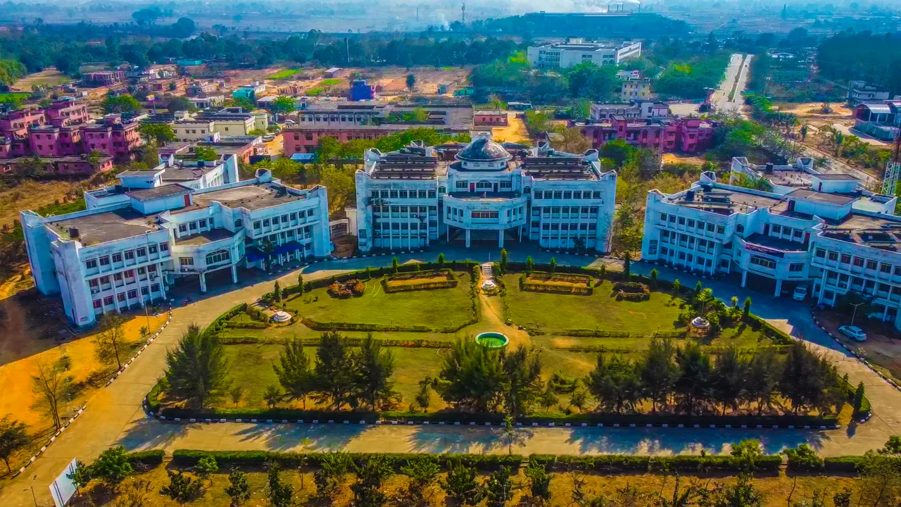
Baikunthpur is the administrative headquarters of Koriya district in northern Chhattisgarh. Its importance today is chiefly civic and regional: government offices, local services and markets make it a centre for residents of the surrounding towns and rural communities.

Famous for

  • Koriya district headquarters
  • Former Korea princely-state centre
  • Nearby coal-mining belt
  • Chhattisgarhi regional culture

Why Baikunthpur matters

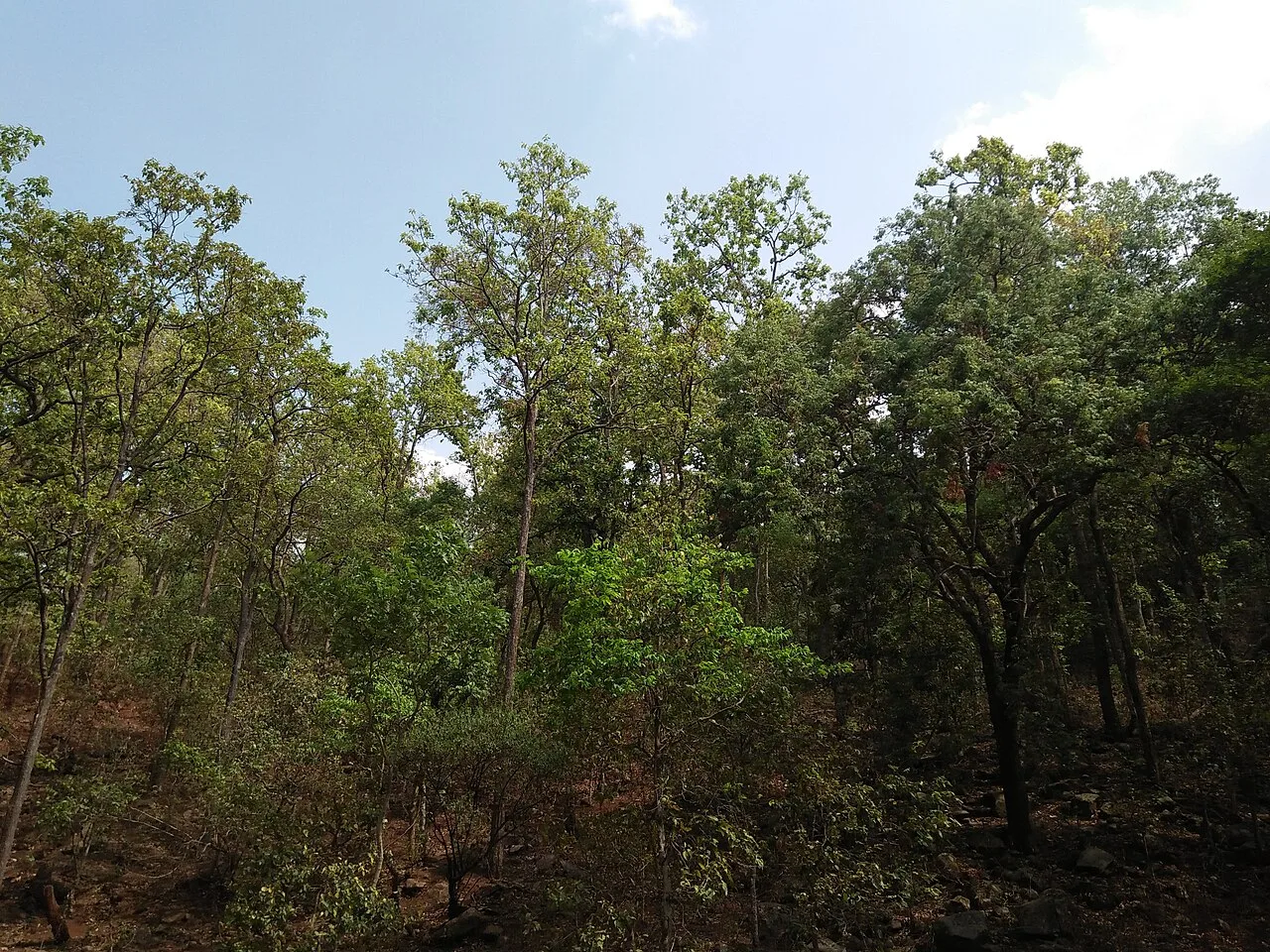
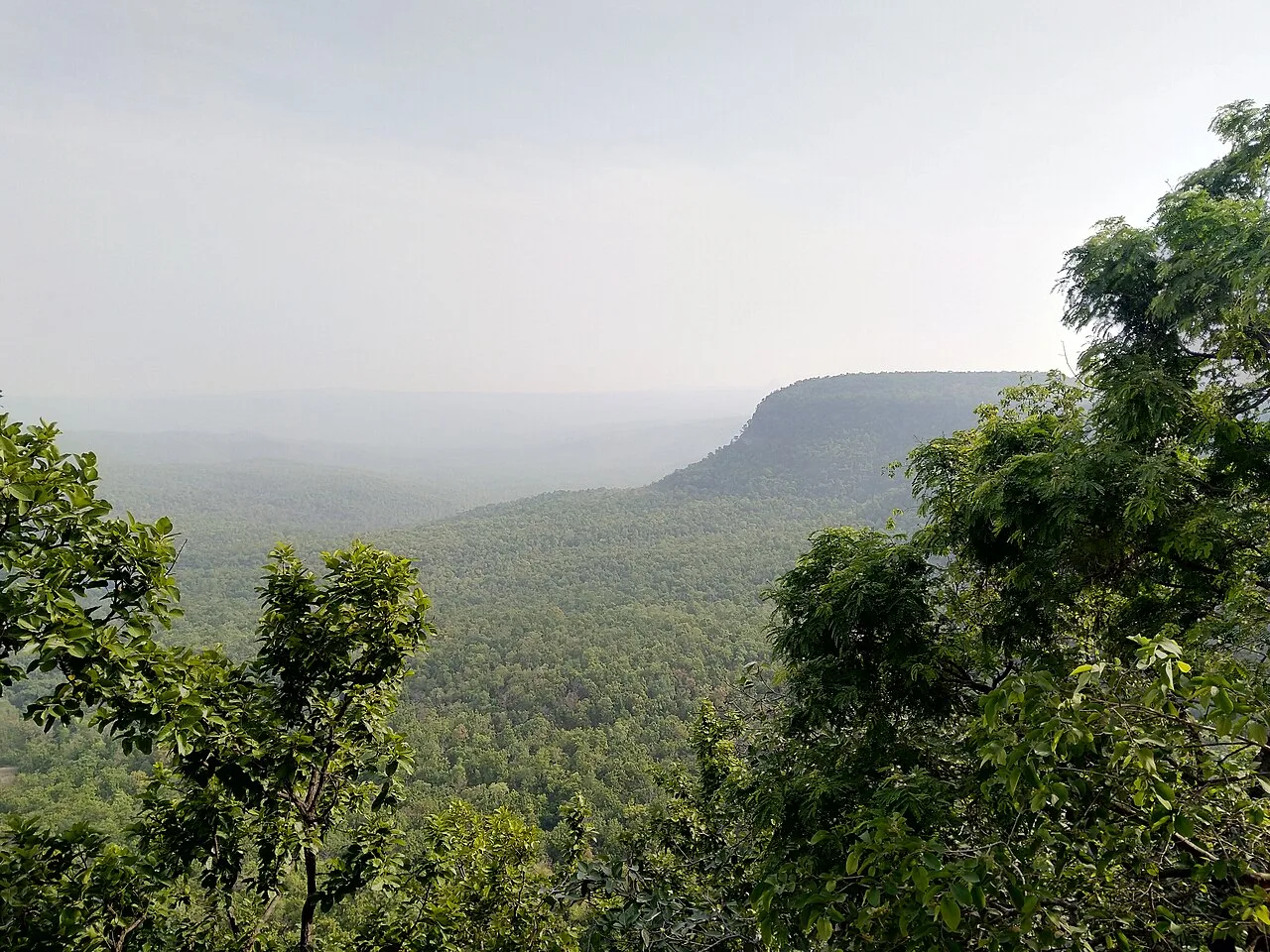
Baikunthpur is the administrative headquarters of Koriya district in northern Chhattisgarh. Its importance today is chiefly civic and regional: government offices, local services and markets make it a centre for residents of the surrounding towns and rural communities. The town also serves as a practical base for travel through this part of the state, where forested landscapes, streams and waterfalls are among the area’s natural attractions.

Baikunthpur is not widely known as a major destination for a particular craft, textile or commercial product. Its appeal is instead tied to its role as a district centre and to the history of the former Korea princely state. Visitors may find interest in the everyday life of a smaller Chhattisgarhi town, its local bazaar and places of worship, as well as excursions into the wider Koriya region. Coal mining is an important feature of the surrounding area, though the town itself is primarily an administrative and service hub.

Famous for: crafts, trade & products

Baikunthpur does not have a widely recognised signature saree, handicraft or GI-tagged product. Its shops and market areas mainly serve everyday needs, with groceries, clothing, household goods and locally traded agricultural produce. Visitors looking for regional items can ask in the central bazaar about seasonal produce and locally made foods; availability varies, and the town is not a large specialist craft-shopping centre.

The wider Koriya region is associated with coal mining, which has shaped employment and transport links across the district and neighbouring areas. This is a regional industry rather than a visitor-facing product market in Baikunthpur. The town’s most notable institution is its district-level administration, alongside schools, health services and other civic facilities that serve surrounding communities. For a sense of local commerce, explore the main market streets and shops near the town centre. There is no established cluster of textile workshops or dedicated GI-product outlets to seek out, so travellers interested in Chhattisgarhi crafts may find a broader selection in larger state cities.

History

Baikunthpur’s history is closely connected with the former Korea princely state, of which it became an important centre. Before independence, Korea was one of the princely territories in the region; its rulers governed under the wider framework of British paramountcy rather than as part of directly administered British India. The princely state joined the Indian Union after independence, and the area was later administered within Madhya Pradesh.

The creation of Chhattisgarh as a separate state in 2000 brought Baikunthpur into the new state’s administrative structure. Koriya district was established in the late twentieth century, with Baikunthpur as its headquarters. Administrative boundaries in the region have since changed, but Baikunthpur remains the centre for Koriya’s district offices and public services. Its growth has been shaped less by a single commercial speciality than by its administrative role, local trade and links to the surrounding coal-mining and rural areas.

Food, festivals & culture

Rice is central to everyday meals in this part of Chhattisgarh. Common regional foods include chila, fara, rice-based preparations and seasonal vegetables; what is available depends on the household and season. Simple sweets and snacks can be found at local shops, though Baikunthpur is not especially known for a signature confection. Hindi and Chhattisgarhi are widely used, alongside other languages spoken by communities in the district.

The annual festival calendar includes Diwali and Holi, as well as regional observances such as Hareli, Teeja and Pola. Hareli, usually celebrated during the monsoon season, is associated with agrarian life; Pola honours cattle and is observed around the agricultural calendar. Navratri brings devotional gatherings and worship at local temples. Neighbourhood temples and other places of worship are part of daily community life. Folk music and dance traditions from Chhattisgarh, including Panthi and regional tribal forms, may be encountered at community or festival events, though performances are not guaranteed on an ordinary visit.

Visiting the city

The cooler months, roughly October to February, are generally the most comfortable for exploring Baikunthpur and the surrounding district. The monsoon brings greener scenery but can make road journeys slower. Maa Mahamaya Airport at Darima, near Ambikapur, is the nearest airport commonly used for the area; scheduled services may be limited, so check current connections and consider onward travel through Bilaspur or Raipur. Baikunthpur Road railway station is the main rail stop serving the town and its surroundings.

Within Baikunthpur, local taxis, auto-rickshaws and hired vehicles are practical options; a car is useful for visiting sites farther out in the district. The central market and nearby civic area offer a straightforward introduction to town life. For excursions, plan extra time for rural roads and confirm local conditions before setting out to waterfalls or forested areas.

Trips from the city

Nearest places to visit from Baikunthpur

Our closest destination guides, by straight-line distance.

39 km away · Koriya district

Guru Ghasidas - Tamor Pingla Tiger Reserve

This protected area in Chhattisgarh brings together a national park and wildlife sanctuary under tiger-reserve status. Visitors come to experience its forest landscape and its role in tiger conservation.

Ramgarh

56 km away · Balrampur district

Ramgarh

Ramgarh is a village in Balrampur district, Chhattisgarh, close to the Ramgarh hills. Visitors come to see the well-known Jogimara and Sitabenga caves there.

Chaiturgarh

89 km away · Korba district

Chaiturgarh

Chaiturgarh, also called Lafagarh, is a historic hill fort in Korba district, Chhattisgarh. Visitors come for its pilgrimage associations, historic remains and setting within a biosphere reserve.

Mainpat

91 km away · Surguja district

Mainpat

Mainpat is a small settlement and hill station in northern Chhattisgarh’s Surguja district. Visitors know it for Ulta Pani, also called Bisar Paani, where water appears to run uphill.

Achanakmar Wildlife Sanctuary

116 km away · Bilaspur district

Achanakmar Wildlife Sanctuary

Achanakmar is a protected forest area and tiger reserve spanning parts of Chhattisgarh and Madhya Pradesh. Visitors come to experience its wooded hills, varied terrain and the Maniyari River.

Ratanpur

116 km away · Bilaspur district

Ratanpur

Ratanpur is a town and nagar palika in Chhattisgarh’s Bilaspur district. Travellers encounter it on National Highway 130, about 25 kilometres from Bilaspur on the way towards Ambikapur.

Malhar

155 km away · Bilaspur district

Malhar

Malhar, in Chhattisgarh’s Bilaspur district, draws visitors interested in archaeology and its remains of an old fort, restored Shiva temples, and Hindu, Jain and Buddhist temples.

Tala

160 km away · Bilaspur district

Tala

Tala is a village in Chhattisgarh’s Bilaspur district. Visitors are drawn to the Devrani and Jethani temples and its distinctive stone statue of Rudra Shiva.

Map

Baikunthpur on the map

  1. 1Guru Ghasidas - Tamor Pingla Tiger Reserve
  2. 2Ramgarh
  3. 3Chaiturgarh
  4. 4Mainpat
  5. 5Achanakmar Wildlife Sanctuary
  6. 6Ratanpur
  7. 7Malhar
  8. 8Tala

Chhattisgarh

Other cities to explore