Ghumoopedia — Explore, Discover, Experience
Sign in
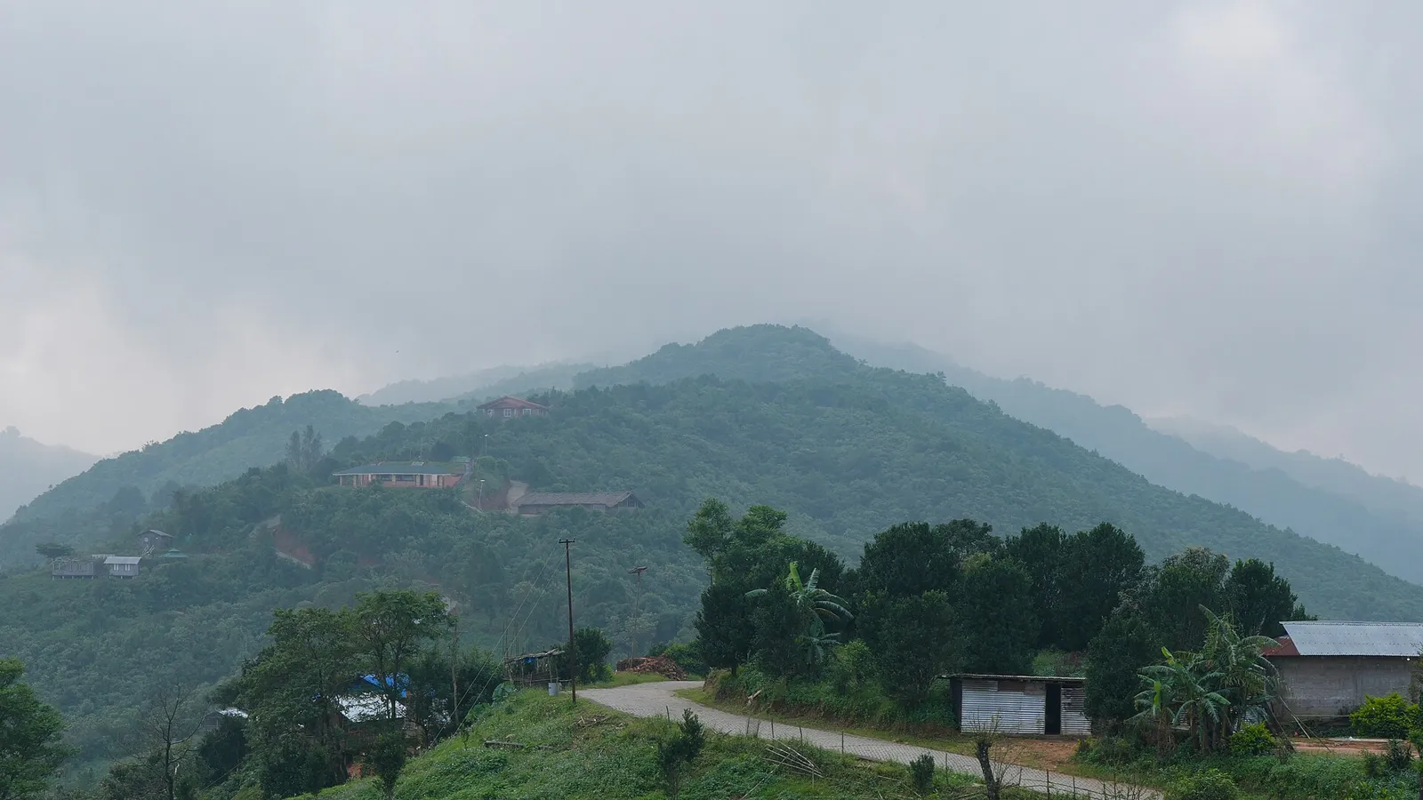
Nokrek National Park, near Mankachar

City guide · Meghalaya

Mankachar

Mankachar is a small border town in South Salmara-Mankachar district, in the far south-west of Assam. Although sometimes associated with neighbouring Meghalaya, it is in Assam; Meghalaya lies to its east and south, while Bangladesh borders the area to the west.

Famous for

  • Bangladesh frontier location
  • Meghalaya border setting
  • South Salmara-Mankachar district
  • Regional market town
  • Assam-Meghalaya border scenery

Why Mankachar matters

Mankachar is a small border town in South Salmara-Mankachar district, in the far south-west of Assam. Although sometimes associated with neighbouring Meghalaya, it is in Assam; Meghalaya lies to its east and south, while Bangladesh borders the area to the west. Its location gives the town a distinctive place at the meeting point of state and international boundaries.

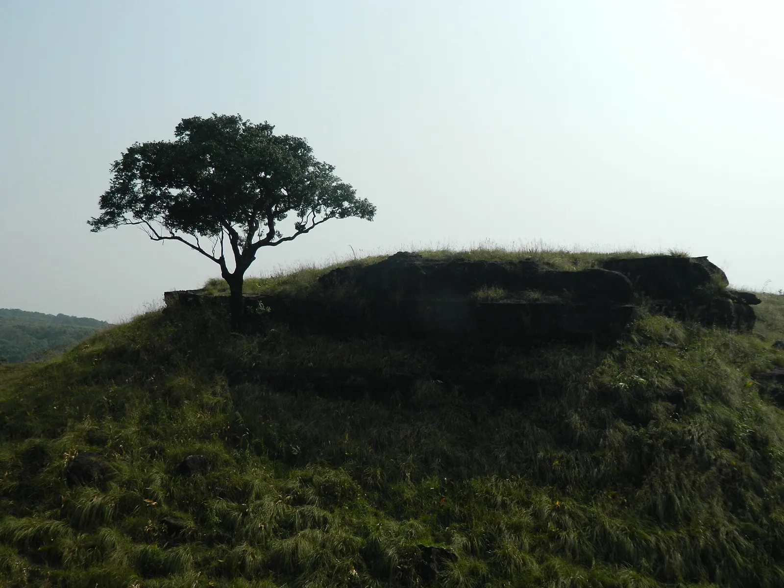
Mankachar matters chiefly as a local centre for trade, services and travel in this border region. Its markets and everyday businesses serve nearby settlements, while its position makes it a useful base for understanding the varied landscapes and communities of western Assam. Visitors may be drawn by the quiet town setting, nearby countryside and views towards Meghalaya’s hills, rather than by a large roster of formal attractions. The surrounding region is shaped by riverine lowlands, seasonal weather and cross-border geography. Mankachar is best approached as a working regional town: a place to experience local market life and the far-western edge of Assam, with practical travel planning important for exploring beyond it.
Famous for: crafts, trade & products

Mankachar is not widely identified as a specialist textile, handicraft or industrial centre, and no particular GI-tagged product is strongly associated with the town. Its best-known commercial role is as a local market serving Mankachar and surrounding settlements. Shops and market streets cater mainly to everyday needs, including groceries, clothing, household goods and farm-related supplies; visitors should not expect a dedicated tourist bazaar or a large selection of regionally branded crafts.

For locally made goods and seasonal produce, the town’s general market is the most practical place to browse and ask about what is available. Small retailers may carry Assamese and Bengali household products, but stock varies and there is no single recognised shopping district for crafts or textiles. The town’s wider appeal lies more in its border setting and local trade than in a signature product. Travellers seeking established craft traditions or a broader range of regional specialities may find more options in larger towns elsewhere in Assam or Meghalaya. Ask locally before making a special trip to find a particular item.

History

Mankachar’s development has been shaped by its position in the westernmost part of Assam, close to Meghalaya and the Bangladesh border. The area’s connections with nearby settlements and markets, rather than a well-documented royal capital or major colonial-era centre, appear central to the town’s growth. The wider region came under British administration as part of Assam during the colonial period, but Mankachar is not commonly known for a distinct monumental or courtly history.

In modern times, the town has served as a local commercial and administrative centre for the surrounding area. South Salmara-Mankachar became a separate district in 2016, following its separation from Dhubri district, giving Mankachar a more prominent place in district-level administration. Its growth continues to reflect the practical needs of a border region: access to markets, public services and road connections. The international boundary also influences movement and trade, which are subject to official rules. For visitors, the town’s history is most visible in its evolving role within Assam rather than in a concentrated collection of historic monuments.

Food, festivals & culture

Everyday cooking in Mankachar reflects the food traditions of western Assam and neighbouring Bengal. Rice is a staple, commonly served with fish, meat, lentils and seasonal vegetables or greens. Pitha and other rice-based sweets may be enjoyed at home or around festive occasions, though there is no single dessert for which the town is especially famous. Market availability changes with the season, and small local eateries are the best place to ask about familiar regional dishes.

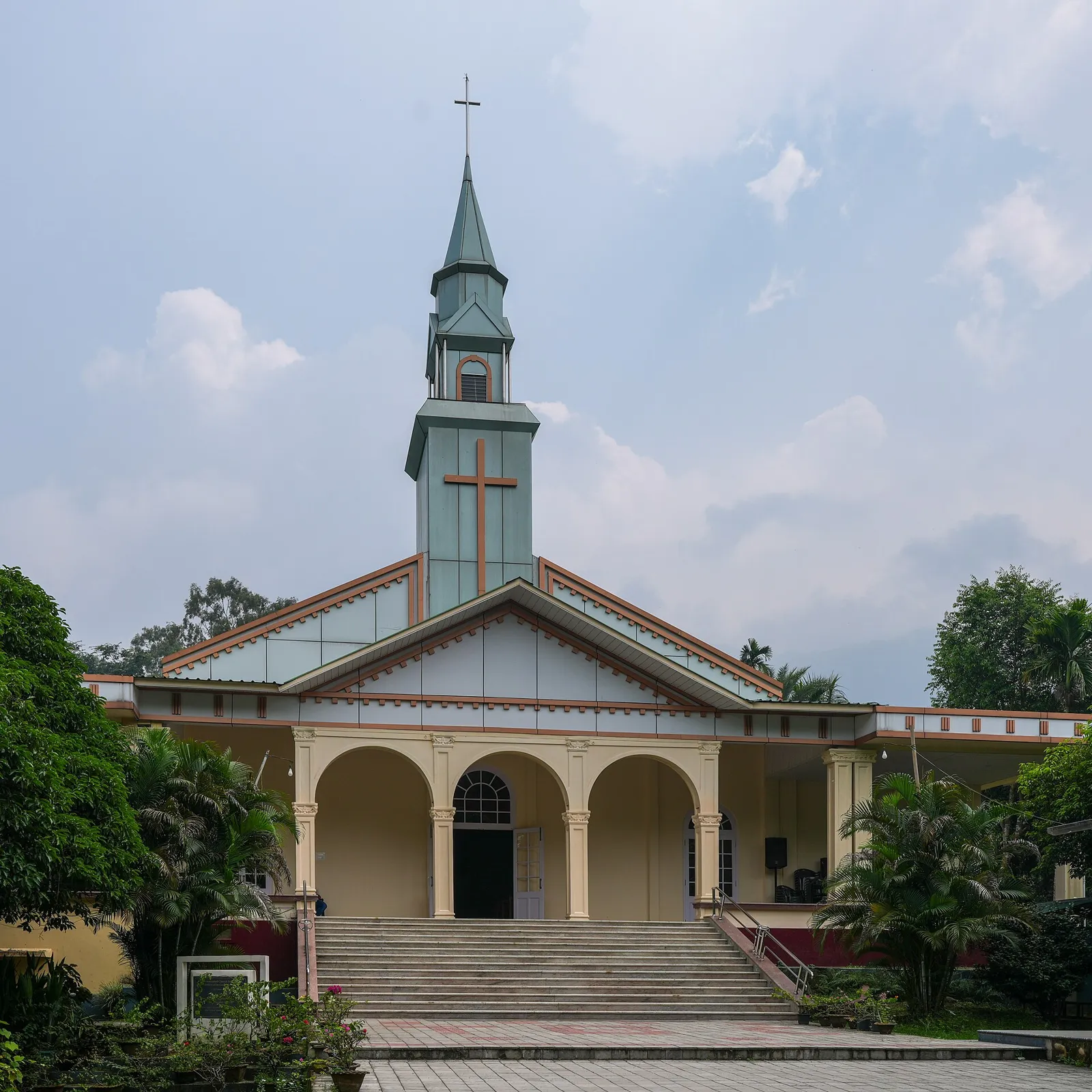
Assamese, Bengali and local Goalpariya speech are heard in the wider area, alongside other languages used by residents. Bihu, particularly the spring celebrations, is part of the Assamese cultural calendar; Eid and Durga Puja are also observed locally, with dates and customs varying by community. Family gatherings, religious observance and local music are important parts of festive life. The town has mosques and Hindu places of worship serving neighbourhood communities. Mankachar is not especially known as a performing-arts destination, so visitors are more likely to encounter music and celebration through local events than through scheduled cultural shows.

Visiting the city

The cooler, generally drier months from October to March are usually the most comfortable for a visit. Monsoon travel can be affected by heavy rain and difficult conditions on low-lying roads, so check locally before setting out. Rupsi Airport is the closest airport, though flight options may be limited; Guwahati’s Lokpriya Gopinath Bordoloi International Airport is a larger alternative farther away. Mankachar railway station is the local railhead; confirm current services and onward connections before travelling.

Within town, walking, local shared vehicles and hired cars are practical options, depending on distance and availability. Explore the central market and nearby neighbourhood streets for everyday town life, or use Mankachar as a starting point for the surrounding countryside and the Meghalaya-facing edge of the district. The border itself is controlled: do not approach restricted areas or attempt to cross without the required permissions.

Trips from the city

Nearest places to visit from Mankachar

Our closest destination guides, by straight-line distance.

Nokrek National Park

25 km away · West Garo Hills district

Nokrek National Park

Nokrek National Park is a protected area in Meghalaya’s Garo Hills and the central part of the Nokrek Biosphere Reserve, known for its biodiversity and UNESCO recognition.

Tura

36 km away · West Garo Hills district

Tura

Tura is a municipality in Meghalaya’s West Garo Hills, serving as a cultural and administrative centre for the Garo people. Visitors find it among the foothills, valleys and streams.

Balpakram National Park

102 km away · South Garo Hills district

Balpakram National Park

Balpakram National Park is a protected area in Meghalaya’s South Garo Hills, close to Bangladesh and about 910 metres above sea level. Its wildlife and significance in Garo tradition are key reasons to visit.

140 km away · West Khasi Hills district

Nongkhnum River Island

Nongkhnum River Island, in Meghalaya’s West Khasi Hills district, is the state’s largest river island. Visitors come to experience its distinctive setting between the Wah Kynshi and Namiliang rivers.

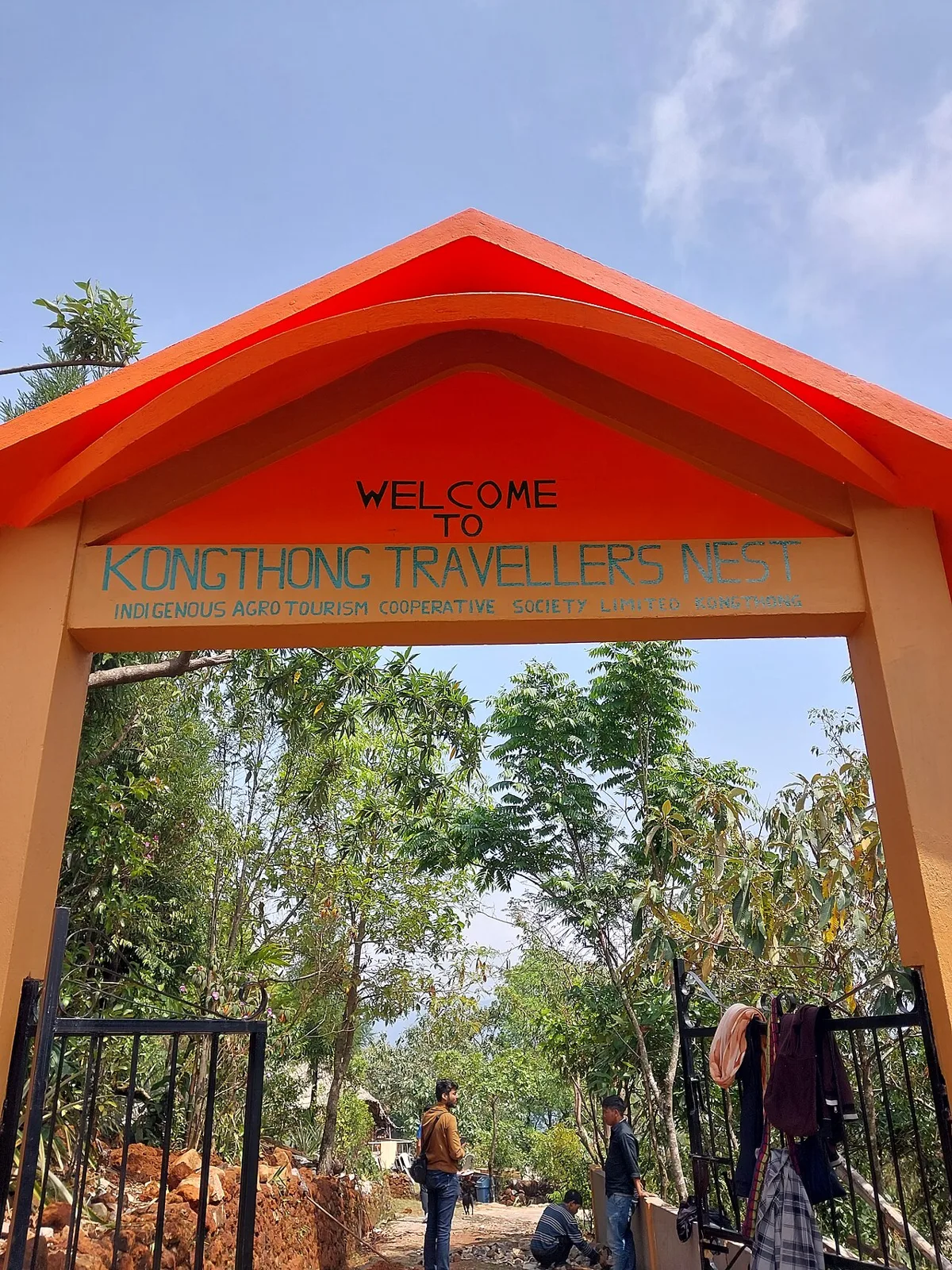
Kongthong (Whistling Village)

167 km away · East Khasi Hills district

Kongthong (Whistling Village)

Kongthong is a Meghalaya village known for its whistled naming custom. Visitors and language researchers come to learn about this tradition, which has also brought the village international tourism and heritage recognition efforts.

Mawsynram

174 km away · East Khasi Hills district

Mawsynram

Mawsynram, in Meghalaya’s East Khasi Hills, is known for extraordinary rainfall. People visit to experience a town regarded as the world’s wettest, 69 km from Shillong.

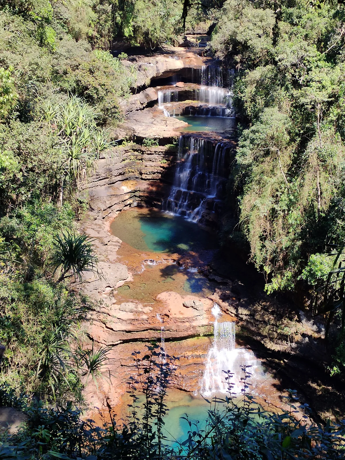
Wei Sawdong Falls

184 km away · East Khasi Hills district

Wei Sawdong Falls

Located in Cherrapunji, Wei Sawdong Falls is a waterfall with three descending tiers. Visitors come to view its layered cascade in Meghalaya’s East Khasi Hills district.

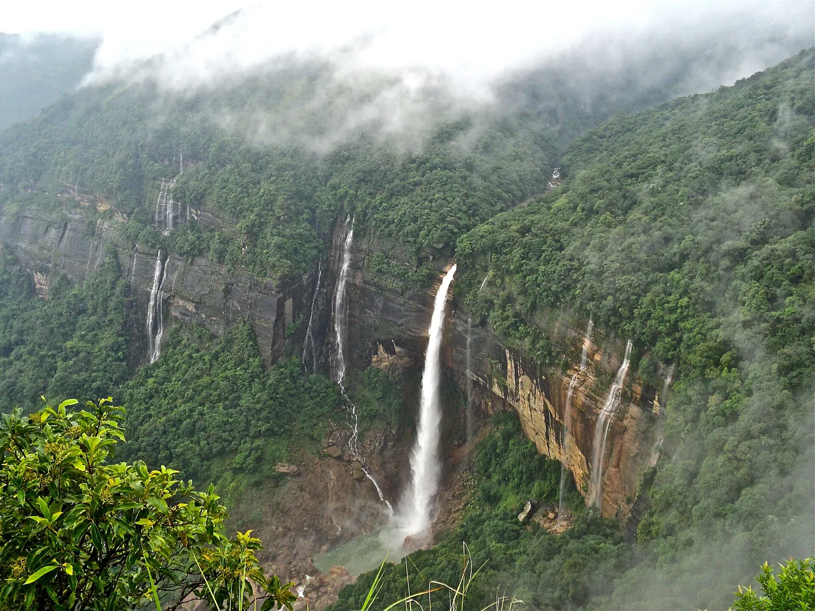
Nohkalikai Falls

185 km away · East Khasi Hills district

Nohkalikai Falls

In Meghalaya’s East Khasi Hills, Nohkalikai Falls is India’s tallest plunge waterfall, with a 340-metre drop near Sohra. Visitors come to see the cascade and its green pool.

Map

Mankachar on the map

  1. 1Nokrek National Park
  2. 2Tura
  3. 3Balpakram National Park
  4. 4Nongkhnum River Island
  5. 5Kongthong (Whistling Village)
  6. 6Mawsynram
  7. 7Wei Sawdong Falls
  8. 8Nohkalikai Falls

Meghalaya

Other cities to explore