
District · Uttarakhand
Chamoli
Home of Badrinath, Auli and the Valley of Flowers.
Chamoli spans a dramatic section of the Garhwal Himalaya, from river valleys and forested slopes to alpine meadows, glaciers and high peaks. The Alaknanda and its tributaries shape much of the landscape, while Nanda Devi National Park and the Valley of Flowers are among its best-known protected areas. The district is also a major pilgrimage region: Badrinath draws visitors each season, and Joshimath, also known as Jyotirmath, is an important religious and mountain town. Garhwali culture is central to everyday life, alongside traditions shaped by communities of the upper valleys, including Bhotiya groups. Villages, shrines and trekking routes give Chamoli a character that is both deeply rooted and strongly connected to the mountains.
Chamoli brings together many of the landscapes and traditions associated with Uttarakhand’s Garhwal Himalaya. The Alaknanda valley links pilgrimage towns and mountain settlements, while high meadows, glaciers and forested slopes provide access to trekking and protected areas. The district is especially known for Badrinath, Joshimath, the Valley of Flowers and Nanda Devi National Park. Auli offers mountain views and seasonal skiing, and villages such as Mana reflect life in the upper valleys. Chamoli suits travellers combining pilgrimage, nature and mountain journeys, though distances, altitude and changing road conditions mean that itineraries need flexibility.
Chamoli’s past is closely tied to the wider Garhwal region and its mountain routes. Badrinath has long been an important Hindu pilgrimage centre, while Jyotirmath—now commonly called Joshimath—is associated with religious traditions linked to Adi Shankaracharya. The Katyuri rulers held power across parts of Kumaon and Garhwal in the early medieval period; later, the Garhwal kingdom was ruled by the Panwar dynasty from its regional capitals. Gorkha forces entered Garhwal in the early nineteenth century, and their rule ended after the Anglo-Nepalese War. The British took control of the eastern part of Garhwal, while Tehri remained a princely state. Under British administration, the area that became Chamoli formed part of Garhwal district. Chamoli was made a separate district in 1960, carved from Pauri Garhwal. It became part of Uttar Pradesh after independence and of Uttarakhand when the new state was formed in 2000. Pilgrimage, pastoral livelihoods and trade across Himalayan valleys have continued to shape the region.
11 destination guides
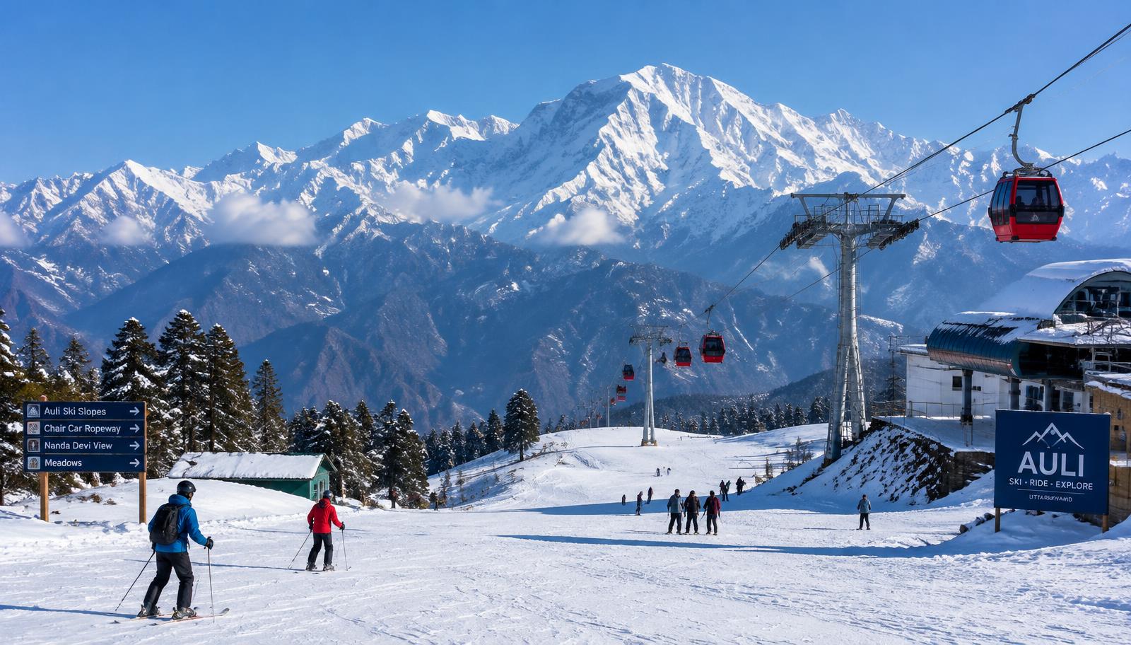
Auli
Above Joshimath in Uttarakhand’s Chamoli district, Auli attracts skiers and visitors seeking open alpine slopes and views of Nanda Devi.
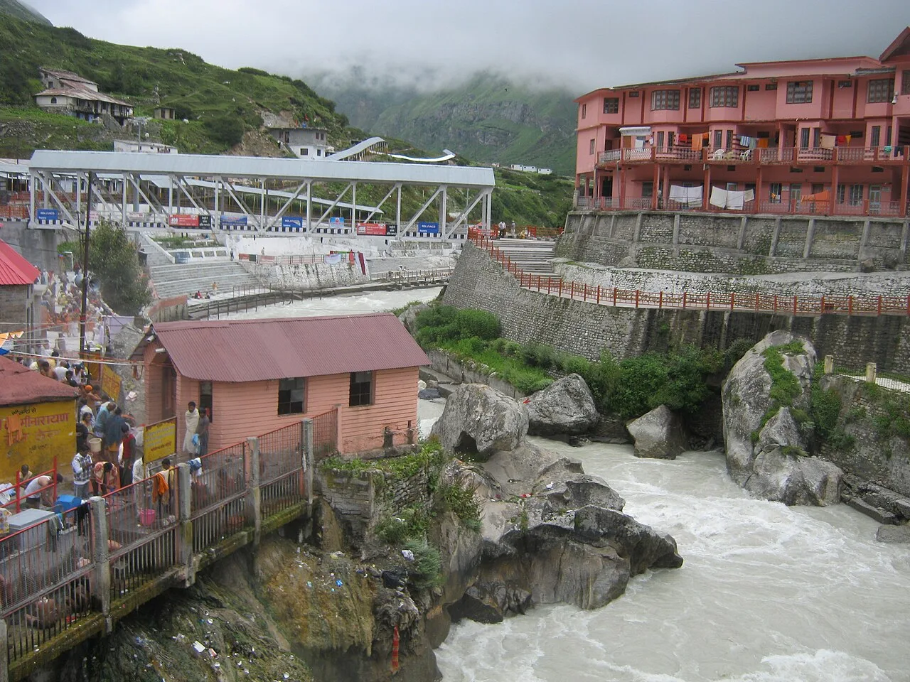
Badrinath Temple
Badrinath Temple is a Vishnu shrine in Chamoli district, Uttarakhand, visited by pilgrims as a Char Dham destination and revered in Vaishnava tradition as one of the 108 Divya Desams.
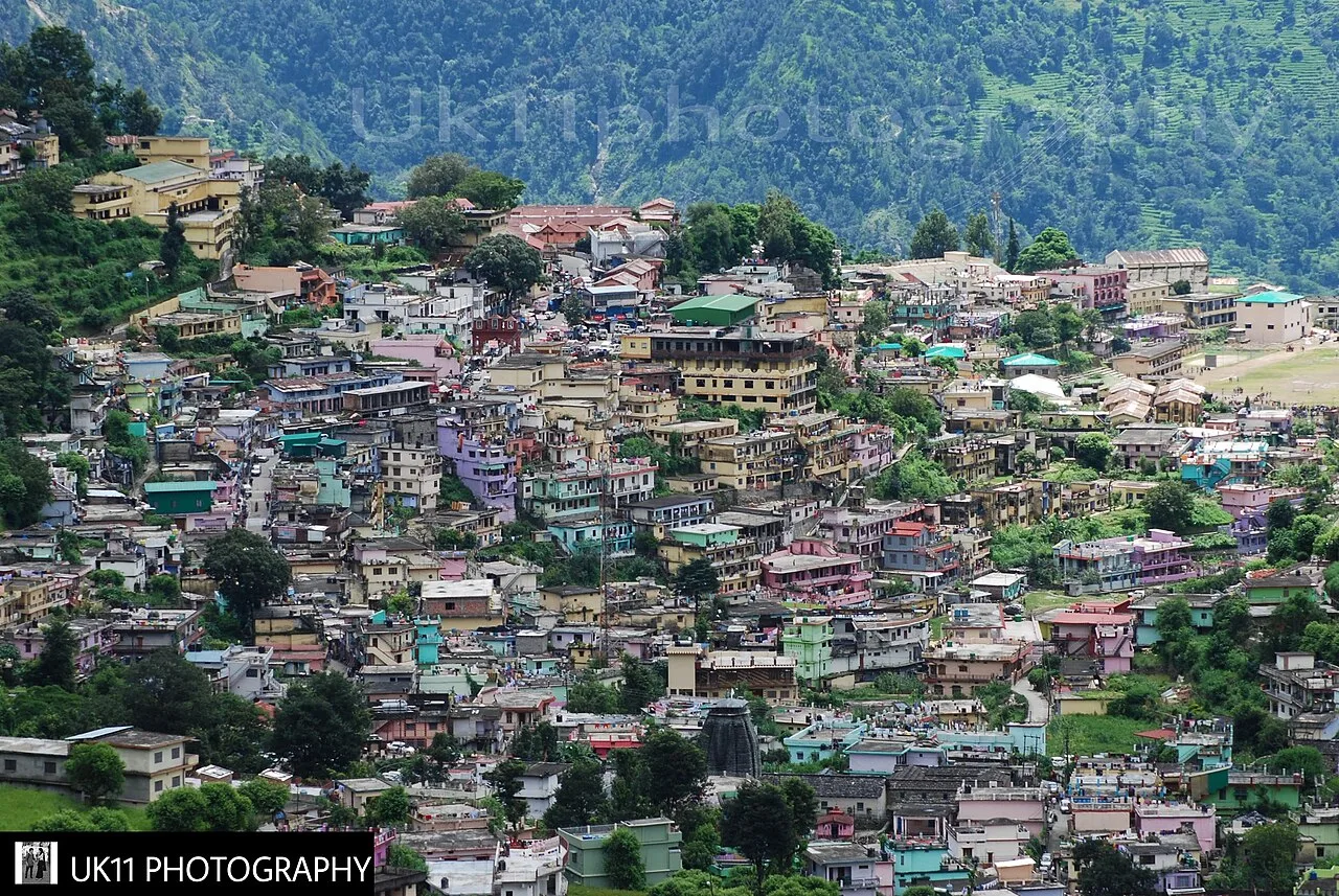
Chamoli Gopeshwar
Chamoli Gopeshwar is a hill settlement in Uttarakhand and the administrative centre of Chamoli district. Visitors may come here to access the district’s seat of government.
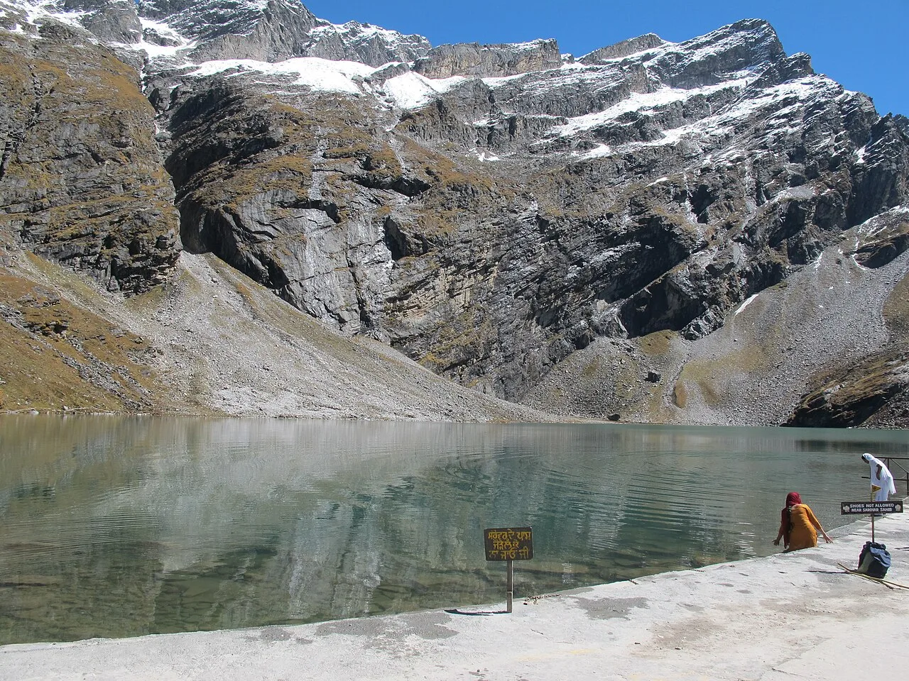
Hemkund Sahib
Hemkund Sahib is a Sikh gurdwara and pilgrimage destination in Uttarakhand, visited by devotees in connection with Guru Gobind Singh and its setting beside a glacial lake.
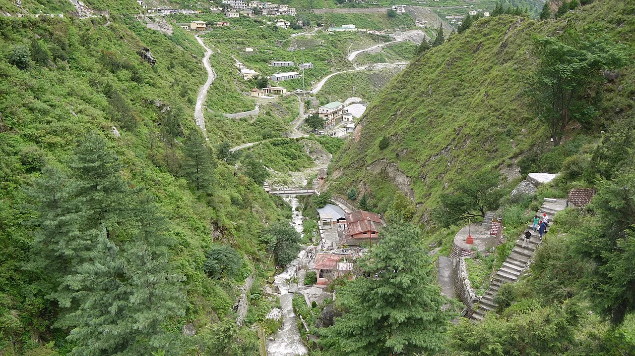
Joshimath
Joshimath, also called Jyotirmath, is a town and municipal board in Uttarakhand’s Chamoli district. Visitors travel through it for Himalayan climbing and trekking, pilgrimage destinations such as Badrinath, and its association with Adi Shankara.
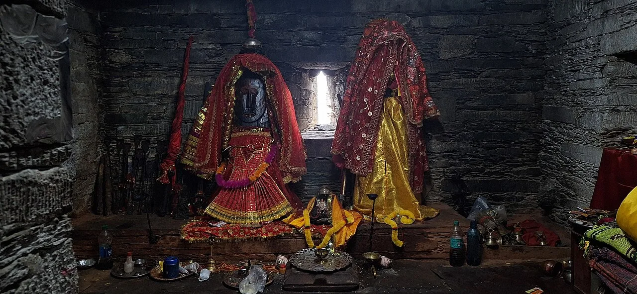
Karnaprayag
Karnaprayag is a town in Uttarakhand’s Chamoli district, administered by a municipal board. Visitors come to see its river junction, which makes it one of the Panch Prayag.
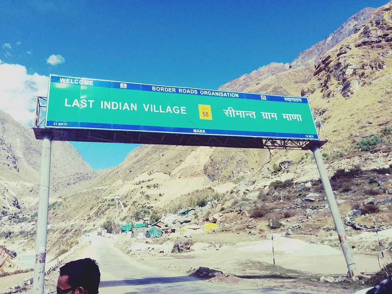
Mana Village
Mana is a high-altitude settlement in Uttarakhand’s Chamoli district, near Badrinath and the route towards Mana Pass. Visitors come to experience its borderland setting and cultural ties to the pilgrimage town.
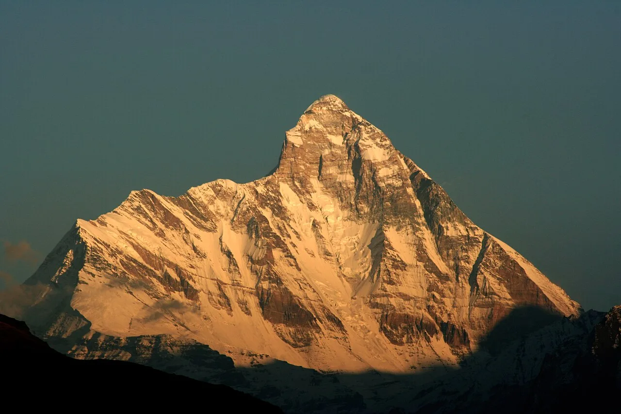
Nanda Devi National Park
Nanda Devi National Park is a high-altitude protected area in Uttarakhand, centred on Nanda Devi. Visitors are drawn to its glacial basin, encircling peaks and rugged mountain terrain.
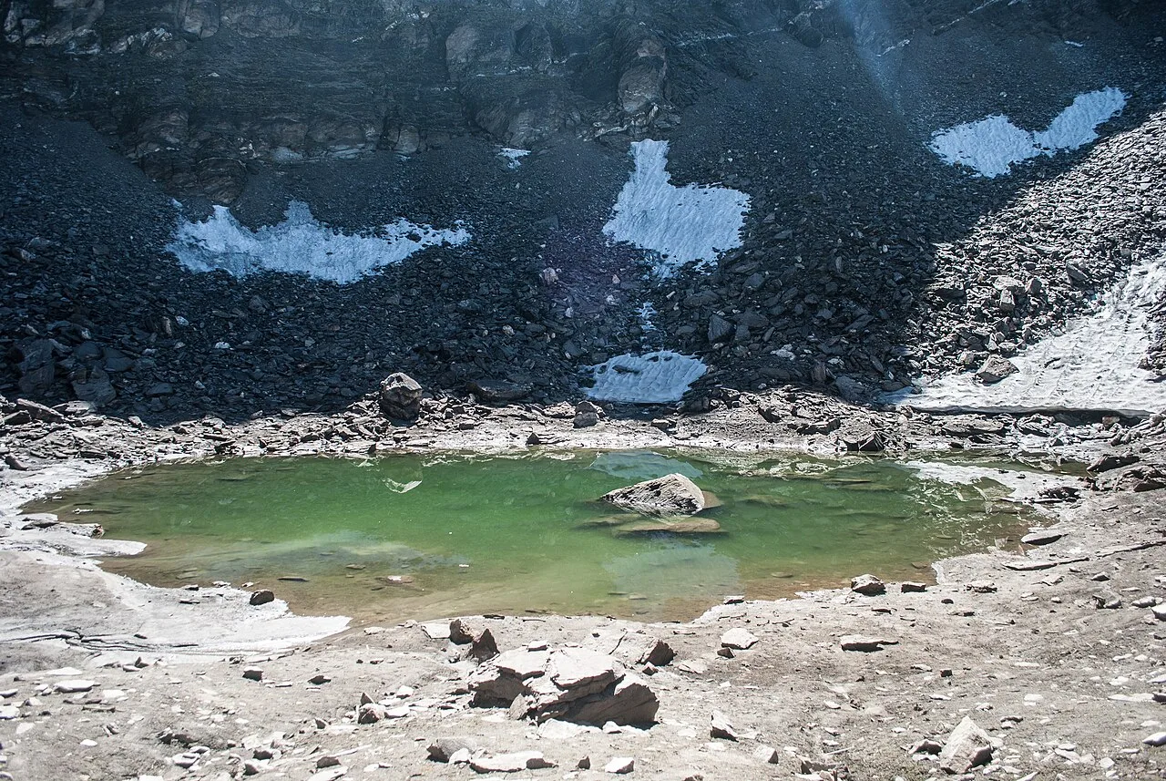
Roopkund
Roopkund is a glacial lake high in Uttarakhand’s Himalayas, known for human skeletal remains found around and beneath its waters. Visitors come to trek in the surrounding mountain landscape.
Chamoli shares the wider Garhwal tradition of nourishing, often seasonal mountain food. Look for kafuli, a leafy-green curry; chainsoo and phaanu, hearty lentil dishes; aloo ke gutke; bhatt ki churkani; and rotis made with mandua, or finger millet. Jhangora kheer is a familiar regional dessert, while buransh squash is associated with the spring rhododendron season. Small eateries may have a short daily menu, so it is worth asking what is freshly prepared. In pilgrimage towns, many places serve vegetarian food, and some avoid onion and garlic.
Wool-working traditions are associated with the upper Garhwal valleys, where Bhotiya communities have long made practical textiles suited to cold mountain conditions. Handwoven woollen blankets, shawls and carpets are among the regional products visitors may encounter, though availability varies by place and season. Ringal, a local type of dwarf bamboo, is used in Uttarakhand for everyday woven items such as baskets and containers. These crafts belong to a wider regional tradition rather than being exclusive to Chamoli; buying directly from local makers, where possible, can help sustain the skills.
Religious observances at Badrinath and local temple fairs bring seasonal visitors to the district, especially during the pilgrimage season from spring into autumn. Nanda Devi Raj Jat, a major regional pilgrimage associated with Chamoli, is held periodically, traditionally about every twelve years; its route and gatherings can draw large crowds and put pressure on rooms and transport. Local celebrations such as Harela and Phool Dei reflect broader Uttarakhand traditions and are generally observed in their respective seasonal periods. During major pilgrimages and fairs, book ahead where possible and expect busier roads and limited accommodation in smaller places.
Elsewhere in Uttarakhand
The district rises from river valleys into steep forested slopes, alpine meadows, glaciers and high Himalayan peaks. The Alaknanda and tributaries, including the Pindar and Mandakini, shape settlement and road routes. Badrinath and Joshimath lie in the upper mountain region, while the Valley of Flowers and Nanda Devi National Park protect high-altitude environments. Roads follow narrow valleys and can be winding, exposed to landslides and sometimes interrupted by weather. Many attractions beyond roadheads require walking, and altitude gain can make even short outings strenuous.
Spring and early summer are generally suitable for road travel and pilgrimage, though higher elevations can remain cold and some routes may still be affected by snow. The monsoon, usually from June into September, brings lush growth but also increases the risk of landslides, swollen streams and travel disruption; it is also the flowering season in the Valley of Flowers. Autumn often brings clearer skies and comfortable conditions for many journeys. Winter is cold, with snow possible at higher elevations and seasonal closures or reduced services. May to June and September to October are common choices, depending on the itinerary. Pack layers, waterproof outerwear, sturdy footwear, sun protection and warm clothing for nights and high-altitude areas.
For most journeys into Chamoli, Dehradun’s Jolly Grant Airport and Yog Nagari Rishikesh railway station are useful gateways; Haridwar is another major rail connection. Road travel from the Rishikesh area follows the Alaknanda valley towards towns such as Karnaprayag, Chamoli, Joshimath and Badrinath. Buses and shared jeeps operate on main routes, while taxis can help with local connections; services may be limited in smaller villages, and some trailheads require walking. Mountain roads are vulnerable to weather, landslides and seasonal restrictions, so allow flexibility. Check current services locally before setting out.
The main road follows the Alaknanda valley, connecting Karnaprayag, Chamoli Gopeshwar, Joshimath and Badrinath. Local buses and shared jeeps serve important routes, while taxis offer more flexible connections; services may be infrequent beyond larger towns. Roads to Auli branch from Joshimath, and access to trekking areas usually involves a road journey followed by walking. Autos may be available for short local trips in some towns, but should not be assumed everywhere. There are no useful passenger boat routes for reaching the listed sights. Check road status and local transport availability before setting out, particularly during monsoon and winter.
2 days: Joshimath → Auli; sleep in Joshimath on night 1. 3 days: Karnaprayag → Chamoli Gopeshwar; sleep in Karnaprayag on night 1 and Chamoli Gopeshwar on night 2. 4 days: Joshimath → Badrinath Temple → Mana Village → Vasudhara Falls; sleep in Joshimath on night 1 and Badrinath on nights 2 and 3.
Joshimath is a practical base for Auli and journeys towards Badrinath, with hotels, guesthouses and some homestays. Badrinath has seasonal accommodation, including hotels, dharamshalas and other pilgrim lodging; availability can tighten during the pilgrimage season. Chamoli Gopeshwar and Karnaprayag work well for shorter stays along the valley, with hotels and guesthouses. Government lodges may be available in some places, but facilities and operating seasons vary. For trekking routes, plan overnight stops around the permitted itinerary and confirm lodging locally rather than assuming village accommodation will be available.
Mountain roads can be narrow and affected by landslides, snow or heavy rain; check current conditions and allow spare time. At altitude, ascend gradually, rest, stay hydrated and take symptoms of altitude illness seriously. Trek only with suitable clothing and footwear, and check trail and weather conditions before leaving. Wildlife inhabits forest and protected areas; keep a respectful distance and follow park rules. Use treated or sealed drinking water. Mobile coverage can be patchy, especially in valleys and on trails, so do not rely on continuous connectivity. Protected areas may require entry permits or other official procedures; confirm requirements with park authorities before travel. Crowds can increase around pilgrimages and festivals.
- Rudraprayagabout 46 km
- Bageshwarabout 76 km
- Almoraabout 102 km
- Pithoragarhabout 108 km
- Uttarkashiabout 108 km
- Pauri Garhwalabout 111 km
- Tehri Garhwalabout 124 km
- Nainitalabout 129 km
Straight-line distance between the centres of each district's destinations; road distance is longer.
Q: How many days should I spend in Chamoli? A: Allow at least three or four days for a short visit to towns and pilgrimage sites. Longer stays are needed for trekking, acclimatisation or routes such as Roopkund. Q: When is the best time to visit? A: May to June and September to October suit many road and pilgrimage trips. The Valley of Flowers is usually visited in the monsoon season, when travel disruption is also more likely. Q: Where is the best base? A: Joshimath is useful for Auli and the upper valley; Chamoli Gopeshwar or Karnaprayag suit stays along the lower Alaknanda routes. Badrinath is a seasonal base for nearby sites. Q: How do I get to Chamoli? A: Most visitors travel by road from the Rishikesh area via the Alaknanda valley. Dehradun’s airport and Rishikesh or Haridwar rail connections are common gateways; continue by bus, shared jeep or taxi. Q: Is Chamoli suitable for families or elderly travellers? A: Towns and pilgrimage sites can suit visitors who plan around road conditions and available facilities. High altitude, steep walks and long drives may be difficult, so choose activities according to fitness and seek medical advice when needed.
This page draws on our 11 destination guides for Chamoli and is updated as our team checks it.
Be the first to share photos, stories, advice or a helpful contact for Chamoli.
Loading…