
District · Uttarakhand
Uttarkashi
Uttarkashi is a high-mountain district of western Garhwal, known for the upper Bhagirathi and Yamuna valleys and two important pilgrimage destinations: Gangotri and Yamunotri.
Uttarkashi district stretches across the high Garhwal Himalaya, where steep forested slopes, alpine meadows and glaciated peaks frame the Bhagirathi and upper Yamuna valleys. The district includes Uttarkashi town, the pilgrimage centres of Gangotri and Yamunotri, and remote mountain settlements. Its landscape ranges from river gorges and orchards to high pastures and protected wilderness, including Gangotri National Park. For centuries, routes through the region have carried pilgrims towards Himalayan shrines; today, pilgrimage remains central to local life alongside farming, pastoralism and tourism. The district’s character is shaped by its sacred rivers, demanding terrain and communities adapted to seasonal change and mountain travel.
Uttarkashi is a high-mountain district of western Garhwal, known for the upper Bhagirathi and Yamuna valleys and two important pilgrimage destinations: Gangotri and Yamunotri. Travellers come for temple journeys, river scenery, Himalayan villages and walking routes to places such as Dodital and Dayara Bugyal. Gangotri Glacier and protected areas add interest for visitors prepared for more demanding travel. Uttarkashi town is the district hub, while Harsil and other valley settlements offer a quieter mountain setting. Pilgrimage remains central to the region, but the district also rewards visitors interested in local rural life, forests and changing high-altitude landscapes.
The region has long been associated with pilgrimage and the sacred geography of the Bhagirathi and Yamuna, though accounts of its earliest history are often intertwined with religious tradition. Uttarkashi is sometimes called Saumya Kashi, reflecting its links to the wider Hindu pilgrimage landscape. For centuries, the valleys formed part of Garhwal, ruled by the Panwar (also called Parmar) dynasty from its regional centres. Gorkha forces extended their control into Garhwal in the early nineteenth century; after their defeat in 1815, much of the western region became the princely state of Tehri Garhwal under its own rulers, while adjoining areas came under British administration. Tehri Garhwal joined India in 1949. Uttarkashi district was formed in 1960 from territory that had been part of Tehri Garhwal. It became part of Uttarakhand when the state was created in 2000. Pilgrimage routes, seasonal movement between settlements and the demands of mountain geography have continued to shape local life.
10 destination guides · 9 on the map
Dayara Bugyal
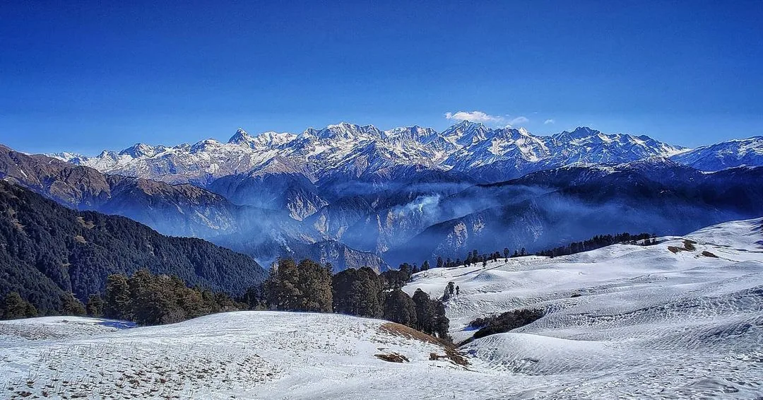
Dayara Bugyal is a high-altitude pasture in Uttarkashi district, visited for its changing grassland scenery, seasonal grazing and views of the Garhwal Himalayas.
Dodital
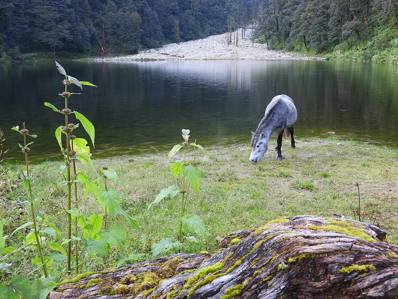
Visitors come to see Dodital, a high-altitude freshwater lake linked with the Assi Ganga, sage Dodi and freshwater trout.
Gangotri
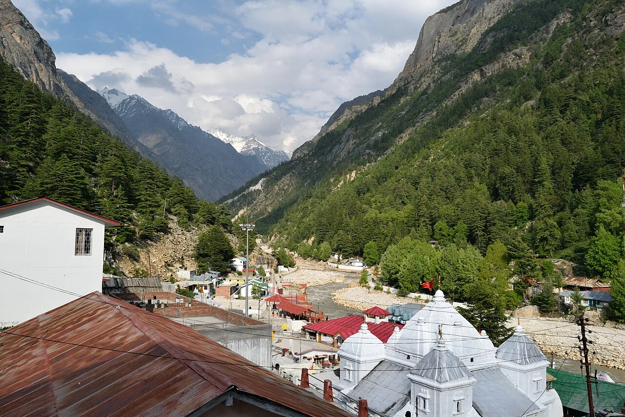
Gangotri is a high-altitude town and municipal area in Uttarakhand’s Uttarkashi district. Hindu pilgrims come to this settlement beside the Bhagirathi, regarded as the source of the Ganges.
Gangotri Glacier
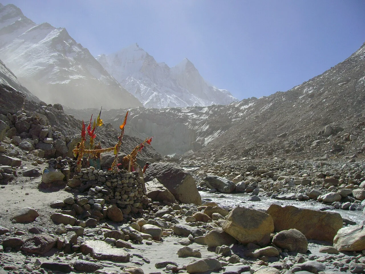
A large glacier in Uttarakhand, Gangotri Glacier is a source of the Bhagirathi, a major Ganges tributary. Hindu pilgrims and trekkers visit Gomukh, with some continuing to Tapovan.
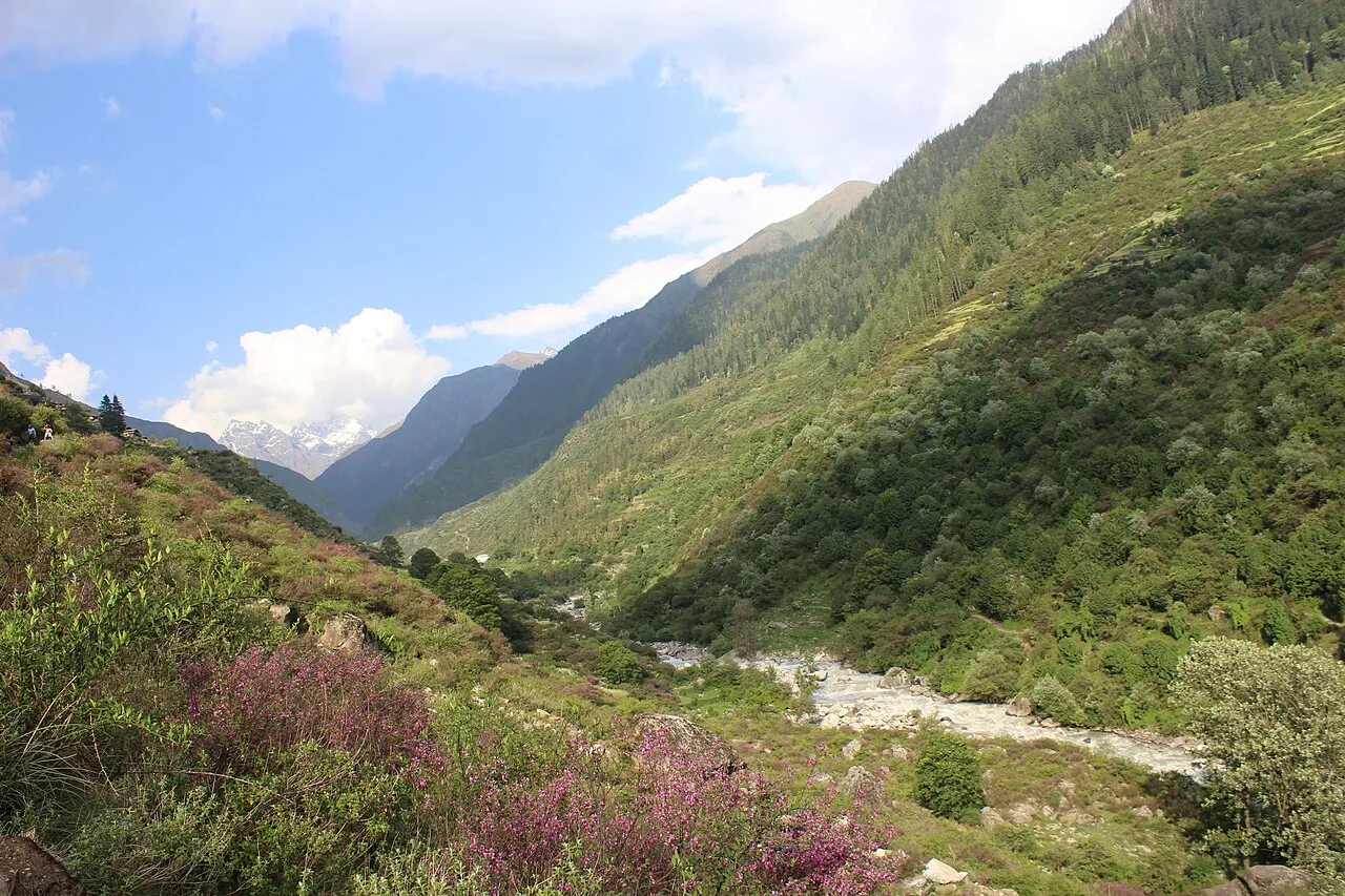
Govind Pashu Vihar National Park
People visit Govind Pashu Vihar for its high Himalayan setting and wildlife-conservation significance, including the Snow Leopard Project and the bearded vulture’s ecological role.
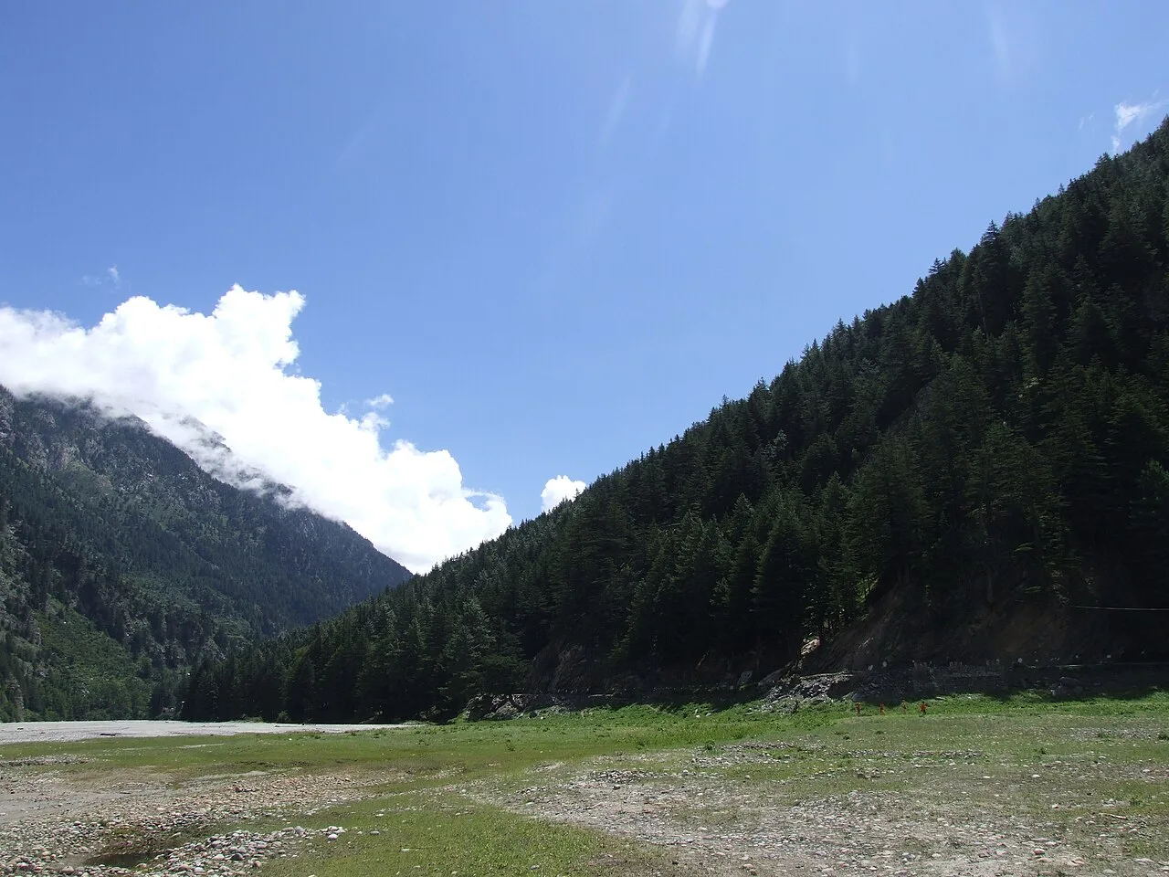
Harsil
Harsil is a village, hill station and army area in Uttarakhand’s Uttarkashi district, beside the Bhagirathi River; people visit for its natural setting and apple production.
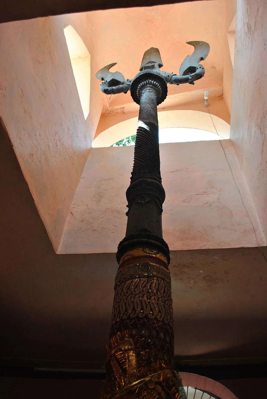
Kashi Vishwanath Temple
In Uttarkashi district of Uttarakhand, Kashi Vishwanath Temple is a sacred place of worship. Visitors come to the temple for religious observance and prayer.
Nelang Valley
Nelang Valley is a Himalayan river valley in Uttarakhand’s Uttarkashi district, centred on a small namesake settlement; visitors may come for its remote setting near the India–China frontier.
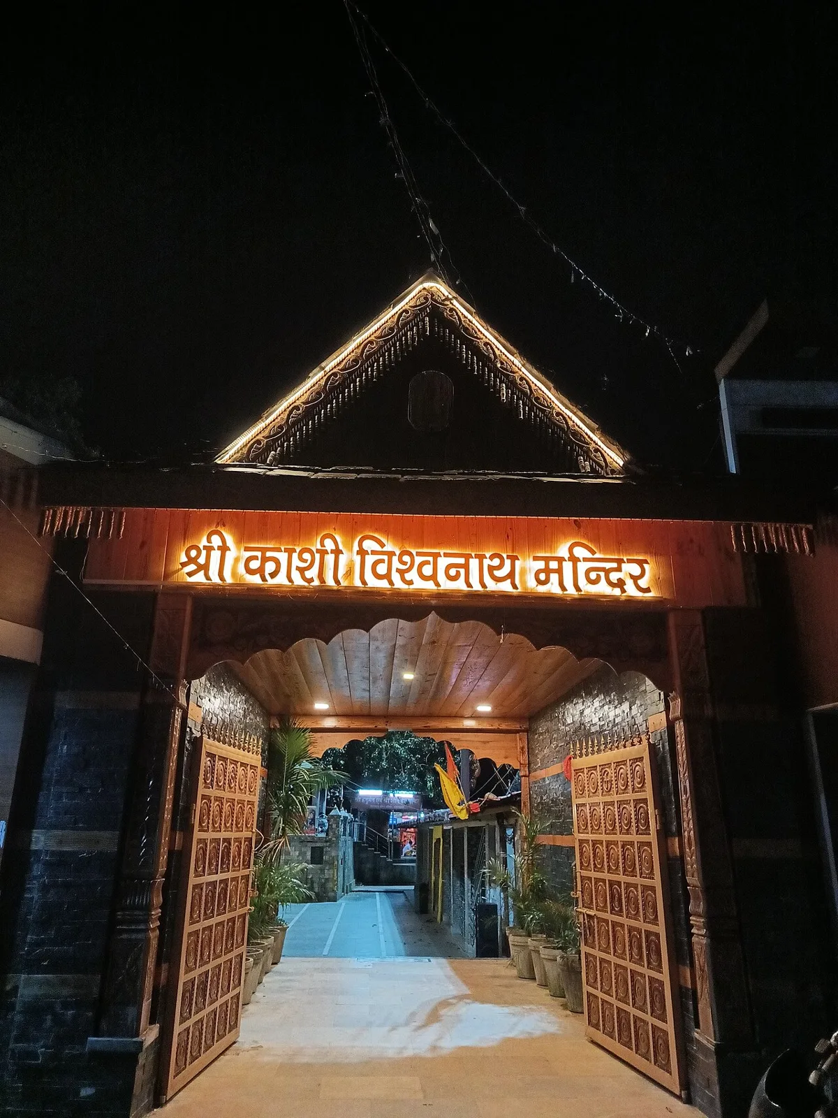
Uttarkashi
Uttarkashi is a city in Uttarakhand and the administrative headquarters of Uttarkashi district. People may visit it to attend to matters connected with the district administration.
Food in Uttarkashi reflects wider Garhwali and Uttarakhand traditions. Everyday meals may include mandua (finger-millet) rotis, kafuli, a greens-based curry, and lentil dishes such as phaanu or chainsoo. Aloo ke gutke and bhatt ki churkani are other regional favourites, while jhangora kheer is a familiar sweet. In spring, buransh (rhododendron) squash may be available. Small eateries often prepare a limited menu based on what is fresh, so it is worth asking what is being cooked that day. In pilgrimage centres, many kitchens serve vegetarian food, sometimes without onion or garlic.
Wool work is part of the wider Himalayan craft tradition, and in Uttarkashi’s higher valleys locally available wool has been used for warm clothing and household textiles. Weaving and related skills vary between communities and settlements, and finished pieces may be easier to find in market towns than in remote villages. Ringal, a mountain bamboo, is also used across Uttarakhand for practical baskets and other woven items. These are regional traditions rather than crafts found uniformly throughout the district; visitors can ask local cooperatives or makers about the origin and materials of a particular piece.
Temple seasons shape the district’s busiest periods. Gangotri and Yamunotri receive pilgrimage crowds during the warmer months when their shrines are accessible, with opening and closing ceremonies drawing visitors. Ganga Dussehra, generally in late spring or early summer, is observed at river and pilgrimage centres. Uttarkashi’s Magh Mela is held in winter, around the regional Magh season, and brings local communities and visitors together for religious observances and fairs. These occasions can make transport and rooms busier, especially in pilgrimage towns; booking ahead is sensible during major festivals and the shrine season.
Elsewhere in Uttarakhand
The district rises from deep river valleys into forested mountain slopes, alpine meadows and glaciated Himalayan terrain. The Bhagirathi flows past Uttarkashi and Harsil towards Gangotri, while the upper Yamuna valley leads towards Yamunotri. Forests and protected wilderness cover substantial areas, and high routes include steep climbs and exposed sections. Settlements are scattered along valley roads, so journeys between sights can take longer than maps suggest. Landslides, snow and changing river conditions may affect access, particularly on remote roads and trekking approaches.
Summer, broadly from late spring into early summer, is a popular time for pilgrimage and walking, though higher routes can remain cold. The monsoon brings frequent rain, reduced visibility and a greater risk of landslides; travel may be disrupted. Autumn often offers clearer skies after the rains, while winter is cold, with snow possible at higher elevations and seasonal shrine closures. May, June, September and October are often practical months to visit, subject to current conditions and shrine access. Pack warm layers, a waterproof outer layer, sturdy footwear and sun protection. For high routes, bring suitable cold-weather gear and allow time to adjust to altitude.
Dehradun’s Jolly Grant Airport and railway station are commonly used gateways to Uttarkashi district; Haridwar and Rishikesh are other useful rail hubs. From these cities, road journeys lead into the mountains, with Uttarkashi town connected by routes through Tehri and the Bhagirathi valley. Roads continue towards Gangotri and, via Barkot, towards the Yamunotri trekking approach. Buses and shared jeeps serve some main routes, while taxis offer more flexible travel; services can be limited in remote valleys. Mountain roads are slow and conditions may change seasonally. Check current road access, permits and local transport services before setting out.
Roads connect Uttarkashi town with Harsil and Gangotri along the Bhagirathi valley, and with Barkot and the Yamunotri trekking approach. Local buses and shared jeeps serve some main routes, while taxis are useful for flexible journeys; services become less frequent in remote valleys. Autos may be available for short trips around Uttarkashi town but are not a substitute for inter-town transport. Yamunotri Temple and several trekking destinations require travel on foot beyond the roadhead. Confirm road access and local transport locally, especially during monsoon, winter and pilgrimage peaks.
2 days: Uttarkashi → Kashi Vishwanath Temple; sleep in Uttarkashi (night 1). 3 days: Uttarkashi → Harsil → Gangotri; sleep in Harsil (nights 1–2). 4 days: Uttarkashi → Yamunotri Temple → Uttarkashi; sleep in Uttarkashi (night 1) and near Janki Chatti (nights 2–3).
Uttarkashi town is a useful base for Kashi Vishwanath Temple and journeys through the Bhagirathi valley; accommodation includes hotels, guesthouses and dharamshalas. Harsil is convenient for Gangotri and nearby villages, with smaller hotels and homestays, though choice is more limited. For Yamunotri, travellers usually stay near the trekking approach at Janki Chatti or along the route; facilities are simple and seasonal. Government lodges and basic stays may be available in some places. Reserve ahead in the shrine season and during popular festivals.
Mountain roads can be narrow and vulnerable to landslides, rockfall, snow and sudden weather changes; check current conditions before travel and avoid rushing. Trekking routes may be steep and high, so pace yourself, carry water and warm clothing, and seek medical advice if altitude may be a concern. Treat or boil drinking water. Keep food secure and do not approach wildlife. Crowds increase during the pilgrimage season, and mobile coverage can be patchy outside towns. Access to Nelang Valley is controlled because of its border location; confirm eligibility and any permits with official authorities. Check forest department rules for protected-area visits and treks before setting out.
- Kinnaur · Himachal Pradeshabout 64 km
- Tehri Garhwalabout 73 km
- Rudraprayagabout 73 km
- Dehradunabout 84 km
- Pauri Garhwalabout 97 km
- Chamoliabout 108 km
- Sirmaur · Himachal Pradeshabout 110 km
- Yamunanagar · Haryanaabout 120 km
Straight-line distance between the centres of each district's destinations; road distance is longer.
Q: How many days should I spend in Uttarkashi district? A: Two days can suit a town visit; allow three or four days for a valley or temple circuit, and longer for trekking. Q: When is the best time to visit? A: May, June, September and October are often practical, but check shrine access, weather and road conditions. Q: What is the best base for exploring? A: Uttarkashi town works well for the district hub and Bhagirathi valley; Harsil suits the Gangotri area, while Janki Chatti is used for Yamunotri. Q: How do I get to Uttarkashi? A: Dehradun, Haridwar and Rishikesh are common gateways; continue by road, using buses, shared jeeps or taxis where available. Q: Is the district suitable for families or elderly travellers? A: Town and road-based visits can suit many families, but high-altitude treks and steep approaches may be unsuitable for some elderly visitors; choose routes to match fitness and health.
This page draws on our 10 destination guides for Uttarkashi and is updated as our team checks it.
Be the first to share photos, stories, advice or a helpful contact for Uttarkashi.
Loading…