
District · Uttarakhand
Pithoragarh
Pithoragarh is the easternmost district of Kumaon, a mountain region of Uttarakhand shaped by Himalayan valleys and its border with Nepal and Tibet.
Pithoragarh district occupies the eastern Kumaon Himalaya, where forested ridges and deep river valleys rise toward high peaks and the borderlands of Nepal and Tibet. The Kali River marks much of the Nepal-facing edge, while towns and villages sit along steep, winding mountain roads. Pithoragarh town is the district headquarters and a practical base for exploring places such as Munsiyari, Dharchula and Askot. The region has long been shaped by Himalayan trade, pilgrimage and movement between mountain communities; older routes connected settlements across the high passes. Today, its character combines Kumaoni culture, remote borderland life and access to some of Uttarakhand’s most dramatic mountain scenery.
Pithoragarh is the easternmost district of Kumaon, a mountain region of Uttarakhand shaped by Himalayan valleys and its border with Nepal and Tibet. Travellers come for views of high peaks, Kumaoni towns and villages, and routes that reach places such as Munsiyari, Dharchula, Adi Kailash and Om Parvat. Pithoragarh town is a useful base for exploring the district, while Chaukori and Munsiyari offer different mountain settings. The area is also known for historic links to trade and pilgrimage across the Himalaya, and for a living mix of Kumaoni culture and borderland communities.
The eastern Kumaon region has been shaped by local Himalayan communities and successive kingdoms. Katyuri influence extended across parts of Kumaon in the early medieval period; later, the Chand dynasty established its rule in Kumaon and made Almora an important centre. The region’s mountain routes connected settlements with Tibet and Nepal through trade, pilgrimage and seasonal movement. Gorkha rule extended into Kumaon in the late eighteenth century. After the Anglo-Nepal War and the 1815 Treaty of Sugauli, the British took control of Kumaon, administering it as part of the Kumaon division. British-era administration and roads gradually connected its hill settlements, though many routes remained difficult. Pithoragarh district was formed in 1960, when it was separated from Almora district. Its later development has been influenced by road access, migration, tourism and its strategic position along India’s Himalayan frontier. The region’s history remains visible in its old routes, local traditions and the continuing importance of cross-border mountain landscapes.
8 destination guides · 7 on the map
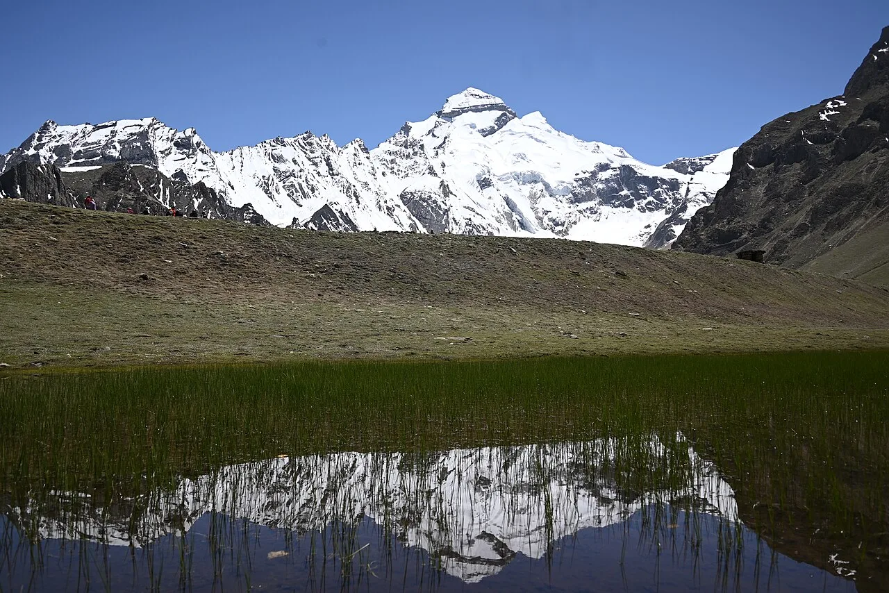
Adi Kailash
Adi Kailash is a Himalayan mountain in Uttarakhand’s Pithoragarh district, regarded as the second peak in the Panch Kailash group. Visitors travel here on the Adi Kailash yatra and to the Shiva temple beside Jolingkong Lake.
Askot Musk Deer Sanctuary
In Pithoragarh district, Uttarakhand, Askot Musk Deer Sanctuary lies near Askot and is centred on protecting the musk deer and its habitat. Visitors may also encounter a range of mammals and high-altitude birds.

Chaukori
Chaukori is a hill station in Uttarakhand’s Pithoragarh district, set among western Himalayan peaks. Visitors come for the mountain scenery and its setting in the Kumaon region.
Dharchula
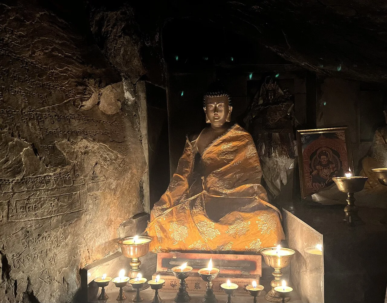
Dharchula is a Himalayan town in Uttarakhand’s Pithoragarh district, drawing visitors for its borderland culture, mountain setting and place on the Kailash Mansarovar pilgrimage route.
Munsiari
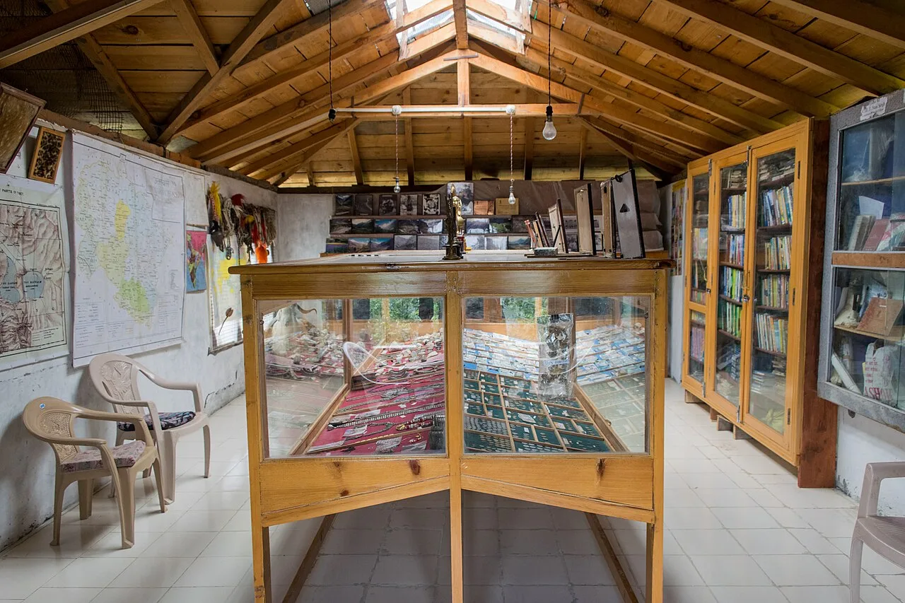
Munsiari is a hill station in Uttarakhand’s Pithoragarh district, known as a base for treks into the Himalayas and a centre for the surrounding tehsil and sub-division.
Om Parvat
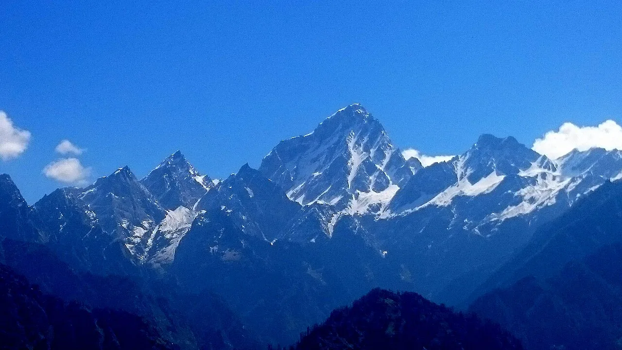
Om Parvat is a 5,590-metre mountain in the India–Nepal border region. Visitors go to see the peak and its setting in Pithoragarh district, Uttarakhand.
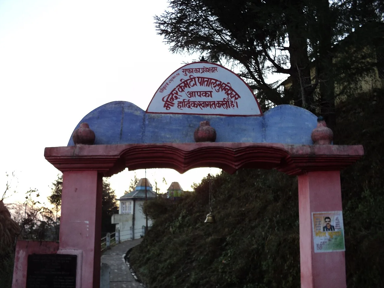
Patal Bhuvaneshwar
Patal Bhuvaneshwar is a limestone cave shrine in Uttarakhand’s Pithoragarh district, visited for its mineral formations and traditional links with Lord Shiva and numerous deities.
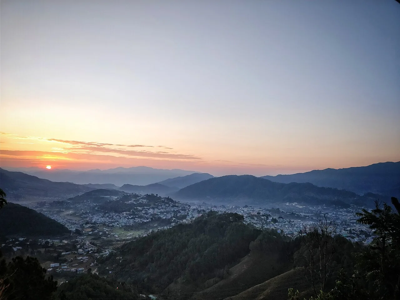
Pithoragarh
Pithoragarh is a Himalayan town and municipal corporation in Uttarakhand’s Kumaon division. Visitors come to experience the state’s largest hill town.
The district shares the wider food traditions of Kumaon and Uttarakhand. Local meals may include kafuli, a leafy-green curry; bhatt ki churkani, made with black soybeans; and phaanu or chainsoo, hearty lentil dishes. Aloo ke gutke and mandua, or finger-millet, rotis are common regional favourites, while jhangora kheer is a millet-based dessert. Menus vary by place and season, and small eateries may prepare only a few dishes each day. Ask what is freshly cooked. Vegetarian food is widely available, and some religiously oriented eateries avoid onion and garlic.
Craft traditions in Pithoragarh reflect both Kumaoni culture and the district’s Himalayan communities. In the wider Kumaon region, aipan—ritual designs made with white rice paste on a red background—decorates floors and thresholds during festivals and ceremonies. Wool weaving has particular associations with high-altitude communities, including the making of warm blankets, shawls and carpets for mountain life. Bamboo and ringaal, a local dwarf bamboo, are used regionally for baskets and household objects. Availability varies from place to place; ask locally about artisan-made work and its community or village of origin.
Harela, a Kumaoni festival welcoming the monsoon and celebrating new growth, is generally observed in July. Holi and Dussehra are also celebrated across the region. Local fairs, including the Jauljibi fair in the autumn, bring communities together for trade, cultural events and social visits. Nanda Devi fairs are held in parts of Kumaon, though timing and scale vary by place. Larger fairs can draw visitors from surrounding valleys, making rooms in nearby towns less available; book ahead if travelling during a major local event.
Elsewhere in Uttarakhand
The district rises from river valleys and forested lower slopes to high Himalayan terrain. The Kali River runs along much of the Nepal-facing boundary, while the Gori Ganga and other rivers cut through steep valleys. Forests, terraced fields and ridgelines surround settlements such as Pithoragarh, Dharchula and Munsiyari. Roads follow narrow valleys and traverse steep slopes, so journeys between places that look close on a map can take time. Landslides and weather can affect access, particularly during the monsoon.
Conditions vary with altitude. Summer, from roughly April to June, is generally a comfortable season for travel in many lower and middle-elevation areas, though higher routes can remain cold. The monsoon, usually from July into September, brings rain, cloud and a greater risk of landslides or road disruption. Autumn is often clearer, while winter brings cold weather and possible snow at higher elevations; some remote routes may be difficult to access. April to June and September to November are useful periods to plan a visit. Pack layers, sturdy footwear and rain protection, and bring warmer clothing for nights and high-altitude journeys.
Pithoragarh is reached mainly by road. Tanakpur and Kathgodam are useful railway stations for onward journeys into Kumaon; from either, travel continues by mountain road, often through towns such as Champawat or Almora. Pithoragarh has Naini Saini Airport, but flights are limited and may not be available on a particular date. Buses and shared jeeps connect larger towns, while taxis can help with onward trips to smaller settlements and trailheads. Services become less frequent in remote areas, and road conditions can change with weather. Check current services locally before setting out.
Roads connect Pithoragarh with towns including Chaukori, Munsiyari and Dharchula, but routes are winding and travel can be slow. Local buses and shared jeeps serve larger settlements, with fewer options in remote areas. Taxis are useful for reaching smaller villages, viewpoints and trailheads; arrange onward travel in advance where services are limited. Autos may be available for short trips within Pithoragarh town, but they are not a way to travel between distant sights. Road conditions and local transport can change with weather, so check before setting out.
2 days: Pithoragarh → Chaukori → Patal Bhuvaneshwar; sleep Night 1 in Chaukori. 3 days: Pithoragarh → Askot Musk Deer Sanctuary → Dharchula; sleep Night 1 in Pithoragarh and Night 2 in Dharchula. 4 days: Pithoragarh → Chaukori → Munsiari; sleep Night 1 in Chaukori and Nights 2–3 in Munsiari.
Pithoragarh is a practical base for local sightseeing and road connections. Chaukori suits a short stay among mountain views, while Munsiari works better for travellers focusing on the higher valleys. Dharchula is a useful base for journeys towards the border region, and overnight plans for remote routes should be confirmed locally. Accommodation ranges from hotels and guesthouses to homestays, government lodges and, in some places, dharamshalas. Choices are more limited outside the main towns, so arrange stays ahead during busy periods.
Mountain roads are narrow and exposed in places; allow for delays and avoid travelling on unfamiliar routes in poor weather. Monsoon rain can trigger landslides, while winter conditions may affect high roads. Keep a safe distance from wildlife and do not approach or feed animals. Use treated or boiled drinking water where its safety is uncertain. Mobile connectivity can be patchy outside towns, so tell someone your plans. High-altitude journeys need time to acclimatise. Some border-area routes have permit or access requirements; confirm current rules with official authorities before travel, including any requirements for Adi Kailash or Om Parvat.
- Bageshwarabout 84 km
- Champawatabout 90 km
- Almoraabout 98 km
- Chamoliabout 108 km
- Nainitalabout 125 km
- Rudraprayagabout 149 km
- Pilibhit · Uttar Pradeshabout 157 km
- Udham Singh Nagarabout 165 km
Straight-line distance between the centres of each district's destinations; road distance is longer.
Q: How many days should I spend in Pithoragarh district? A: Allow at least three or four days for a town-and-hill-station visit; remote border journeys need additional planning and time. Q: When is the best time to visit? A: April to June and September to November are generally good periods, though conditions vary by altitude and route. Q: What is the best base for exploring? A: Pithoragarh is practical for local connections; choose Chaukori, Munsyiari or Dharchula for trips centred on those areas. Q: How do I get to Pithoragarh? A: Travel mainly by road from railheads such as Tanakpur or Kathgodam. Flights to Naini Saini Airport are limited, so check availability. Q: Is the district suitable for families or elderly travellers? A: Towns and shorter road trips can suit many visitors, but steep roads, long journeys and high altitude may be tiring. Choose the route and pace to suit individual mobility and health.
This page draws on our 8 destination guides for Pithoragarh and is updated as our team checks it.
Be the first to share photos, stories, advice or a helpful contact for Pithoragarh.
Loading…