
District · Uttarakhand
Nainital
Kumaon's lake district.
Nainital district spans the Terai and Bhabar lowlands in the south and the forested hills of Kumaon in the north, with lake basins, ridges and mountain valleys shaping its varied landscape. Nainital town, set around Naini Lake, is a well-known hill station; other lakeside destinations include Bhimtal and Naukuchiatal, while Mukteshwar lies among higher ridges. The district also includes Ramnagar, an important gateway to Jim Corbett National Park. Part of the historic Kumaon region, it reflects a mix of local Kumaoni culture, pilgrimage and nature travel. British-era development helped establish Nainital as a hill station, while temples and ashrams remain part of the district’s religious life.
Nainital district brings together Kumaon’s lake country, forested hills and southern gateway towns. Nainital, set around Naini Lake, is its best-known hill station, while Bhimtal and Naukuchiatal offer quieter lakeside settings and Mukteshwar sits among higher ridges. In the west, Ramnagar is a gateway to Jim Corbett National Park; Haldwani and Kathgodam connect the hills with the plains. Travellers can combine boating, walks, temples, Kumaoni cultural experiences and wildlife excursions in one district. Its varied terrain makes it a useful introduction to the contrast between Uttarakhand’s lowland edge and the Himalayan foothills.
Nainital district is part of the historic Kumaon region, where the Katyuri and later Chand rulers held power. The Chand kingdom became an important force in Kumaon from the medieval period, with Almora serving as a political centre. Gorkha rule followed in the late eighteenth century; after the Anglo-Nepalese War and the Treaty of Sugauli in 1816, the area came under British control. The British developed Nainital as a hill station during the nineteenth century, and it became the summer seat of the government of the North-Western Provinces in 1862. Nainital district was established under British administration in 1891. Colonial-era roads, institutions and buildings helped shape the town, while older temples and local customs remained part of regional life. After independence, the district continued within Uttar Pradesh until Uttarakhand was formed as a separate state in 2000. The district today includes both long-settled Kumaoni hill areas and lowland towns that grew as transport and commercial links between the hills and the plains.
10 destination guides · 9 on the map
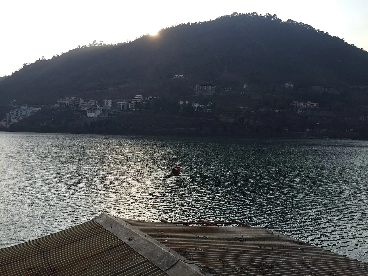
Bhimtal
Bhimtal is a town and tehsil headquarters in Uttarakhand, where visitors come to see the large freshwater lake and its island aquarium, reached by passenger ferry.
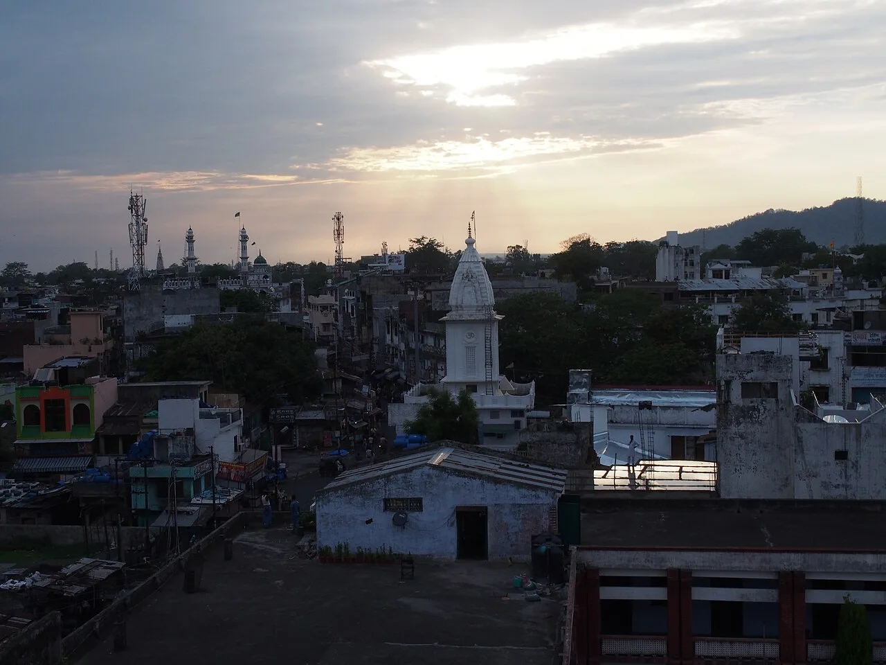
Haldwani
Haldwani, in Uttarakhand’s Nainital district, is Kumaon’s largest city and the state’s third most populous. Visitors come for its commercial centre and as a gateway to the Kumaon hills.
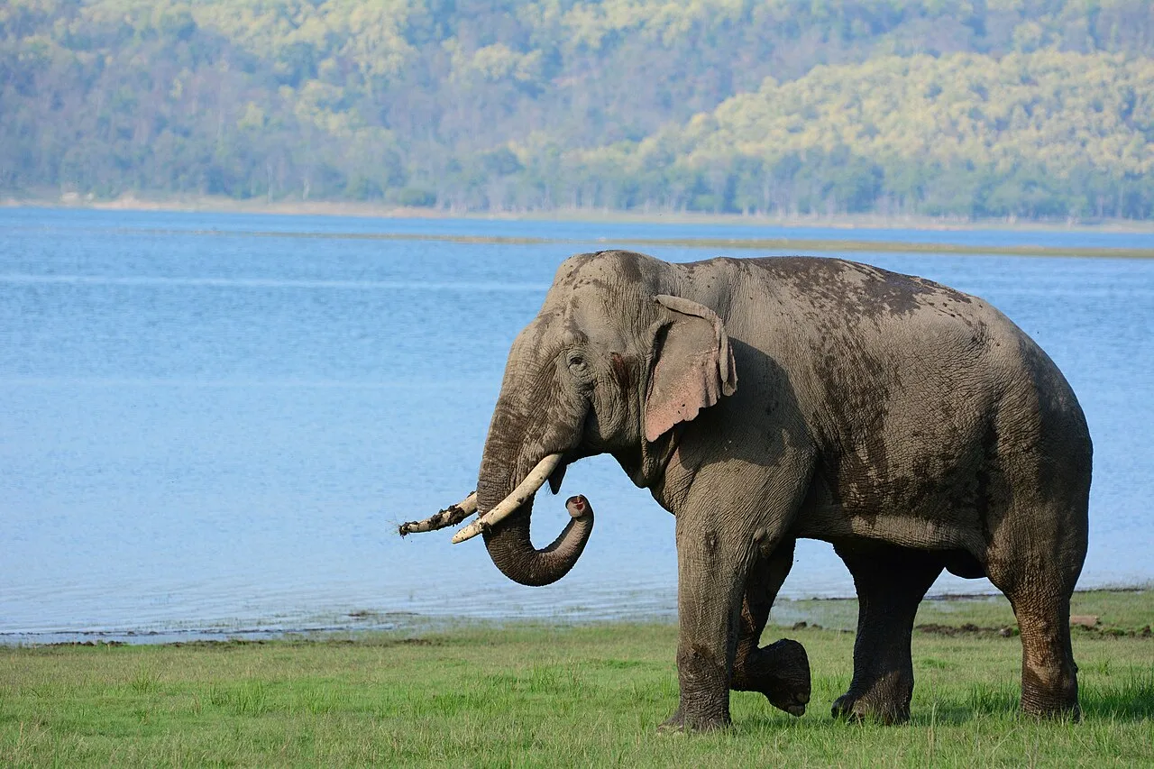
Jim Corbett National Park
In Uttarakhand’s Nainital district, Jim Corbett National Park is a protected area established in 1936. Visitors come to see its varied habitats and diverse mammal, bird and reptile life.
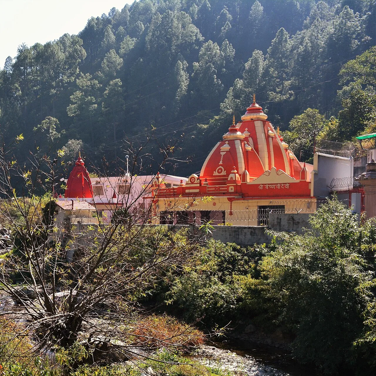
Kainchi Dham
Kainchi Dham is a Hindu ashram and temple site in Uttarakhand associated with Neem Karoli Baba; pilgrims visit to worship and remember the saint.
Mukteshwar
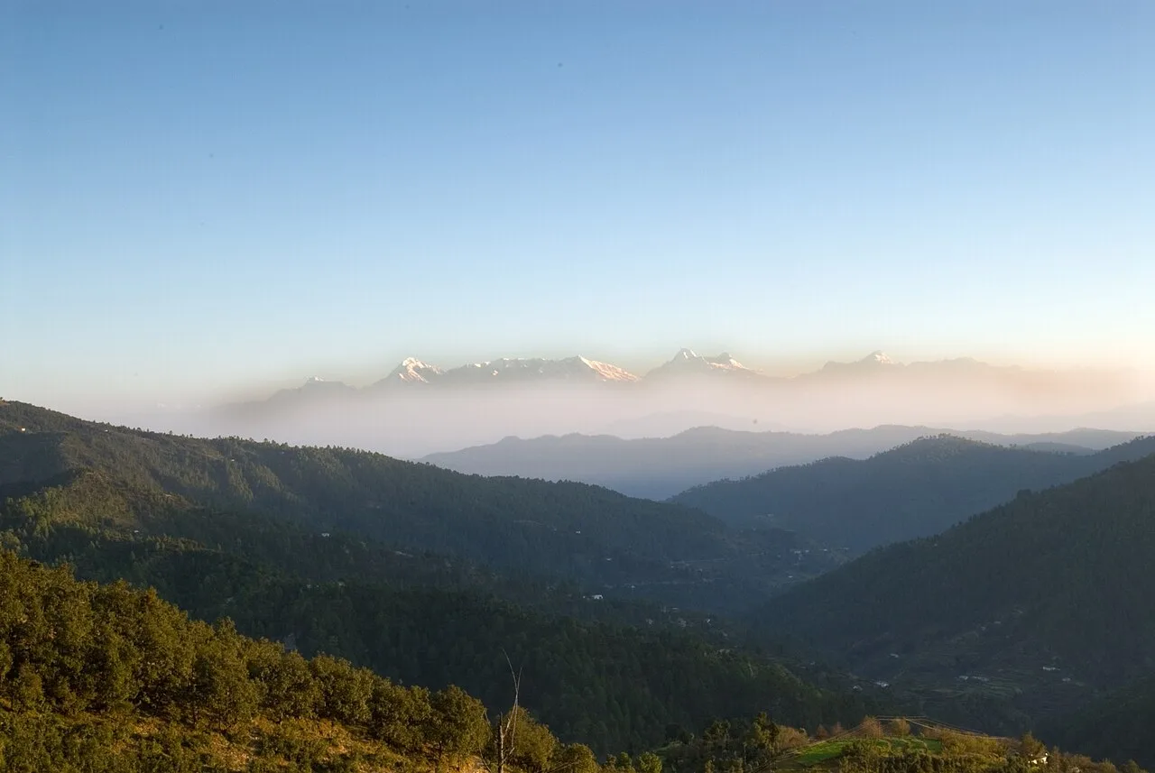
Mukteshwar is a village and tourist destination in Uttarakhand’s Nainital district, located in the Kumaon Hills. Visitors come to this hill settlement, which stands at a high elevation.
Naina Devi Temple
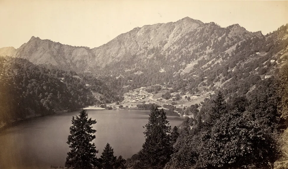
Naina Devi Temple is a sacred temple in Uttarakhand’s Nainital district, visited by people seeking a place with religious significance.
Nainital
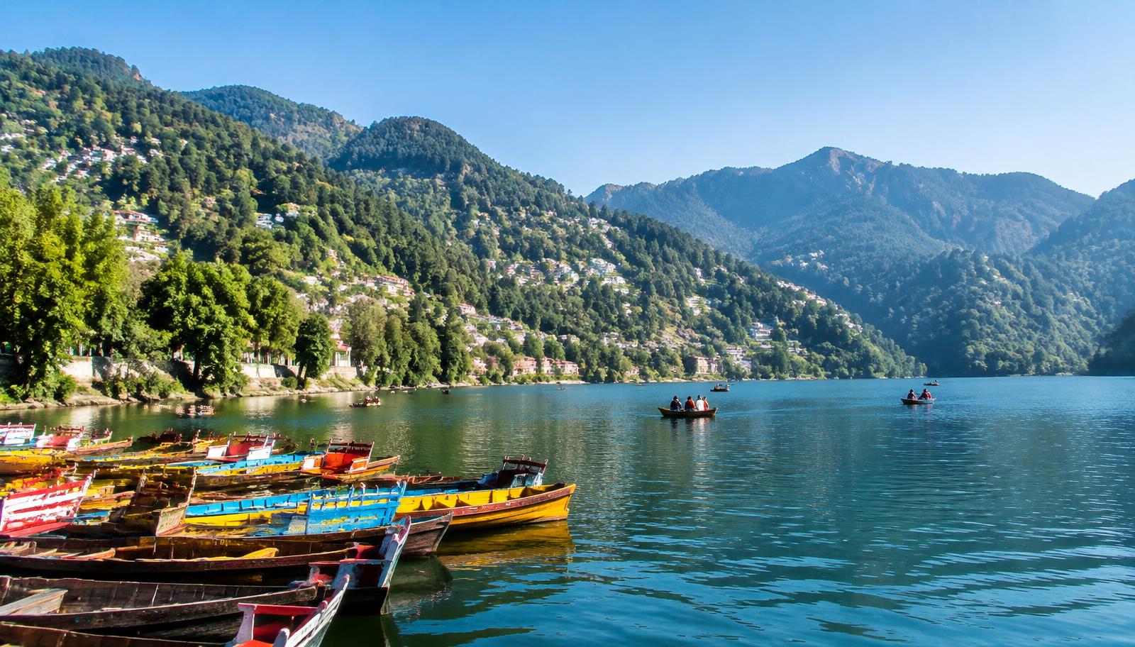
Nainital is a Kumaon hill town in Uttarakhand, centred on Naini Lake. Visitors come for boating and the lakeside, walks along Mall Road, and outings to Snow View and Tiffin Top.
Nainital Lake
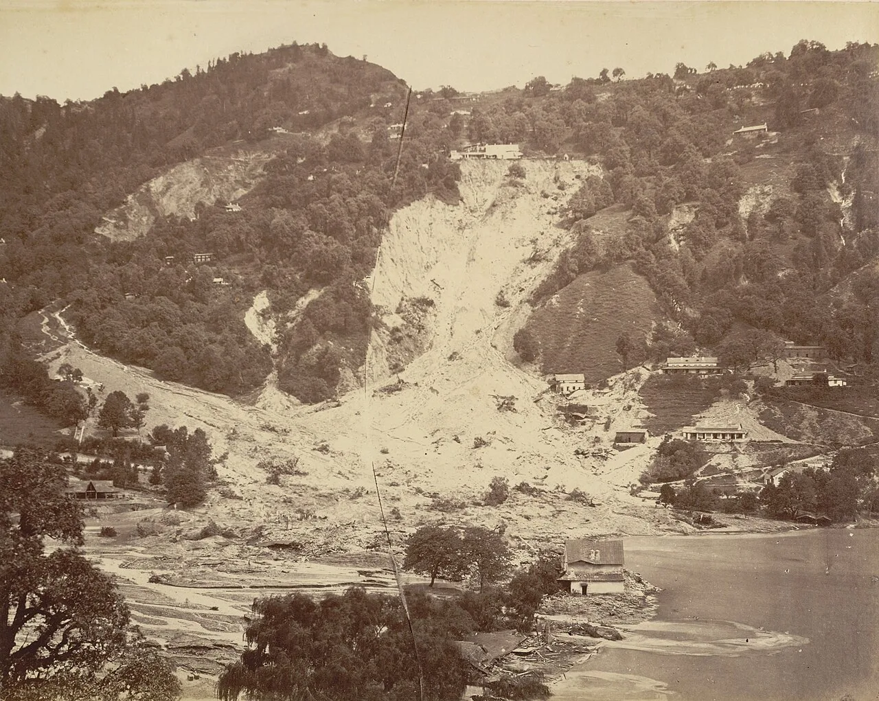
Naini Tal is a tectonic freshwater lake in Nainital, Kumaon, Uttarakhand. Visitors come for recreation around the water, which also features in Kumaoni folklore.
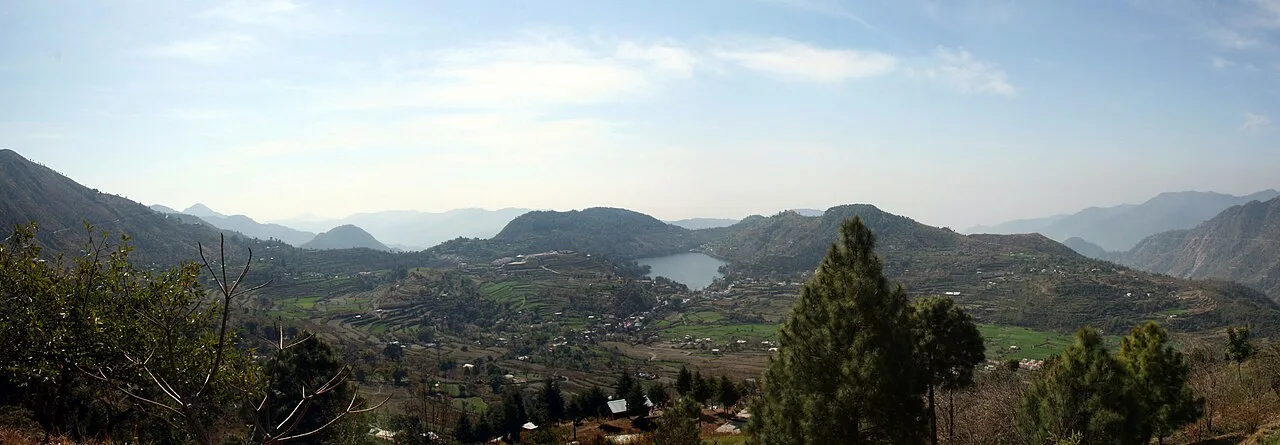
Naukuchiatal
Naukuchiatal is a lakeside hill station in Kumaon’s Nainital district, Uttarakhand, named for its nine-cornered lake. People visit for the lake and its annual Escape festival.
Food in Nainital district draws on wider Kumaoni and Uttarakhand traditions. Common regional dishes include kafuli, a leafy-green curry; chainsoo and phaanu, made with lentils; bhatt ki churkani; and spiced aloo ke gutke. Mandua, or finger-millet, rotis and seasonal vegetables are also part of hill cooking. Jhangora kheer is a familiar millet-based sweet, while bal mithai and singori are associated with Kumaon, particularly Almora. In spring, buransh, or rhododendron, squash may be available. Small eateries often serve a limited daily menu, so it is worth asking what has been prepared fresh.
Craft traditions found in Nainital district are part of the wider Kumaoni heritage. Aipan, a ritual art made with white rice paste on a red or ochre background, decorates thresholds, floors and household shrines for festivals and ceremonies. Wool weaving and knitted goods suit the colder hill climate, while baskets and household items may be made from locally available bamboo or ringaal, a mountain cane. Craft availability varies between towns and villages; local markets and fairs can offer a glimpse of regional work, though products are not necessarily made in the place where they are sold.
Nanda Devi fairs are held in parts of Kumaon, including Nainital, usually in the late monsoon or early autumn; they combine worship, processions and local gatherings. Harela, a Kumaoni seasonal festival associated with the rains and sowing, is generally observed in July. Uttarayani fairs are held in the region around January, while Phool Dei marks the arrival of spring. These events are regional traditions, and observance varies by place. Nainital and other popular bases can be busier during festival periods and school holidays, so booking a room ahead is sensible.
Elsewhere in Uttarakhand
The district rises from the Terai and Bhabar plains in the south to wooded foothills, ridges and lake basins in the north. Naini Lake, Bhimtal and Naukuchiatal sit among the hills, while Mukteshwar occupies higher terrain. The Kosi passes near Ramnagar, and the Gaula drains the hills towards Haldwani. Forests around Ramnagar form part of the wider Corbett landscape. Steep slopes and winding roads shape journeys between towns: short map distances can take time, and access to smaller settlements may be slower during rain or road disruption.
Summer, from roughly March to June, is generally the most popular season for the hill towns, with milder conditions at higher elevations and warmer weather in Haldwani and Ramnagar. The monsoon, usually from June into September, brings frequent rain, mist and possible road disruption. Autumn is often clearer, while winter brings cold nights and occasional frost or snowfall at higher elevations; conditions vary across the district. April to June and September to November are often convenient months for sightseeing, though summer is busier. Pack layers, a warm jacket for evenings, comfortable walking shoes and rain protection in the monsoon. Check local forecasts and road updates before hill journeys.
Kathgodam railway station is a principal rail gateway for Nainital and the lake towns, while Ramnagar station serves the western part of the district and access to Corbett. Pantnagar Airport is a regional air gateway for Kumaon; onward travel is by road. Buses and taxis connect Haldwani and Kathgodam with Nainital and other hill destinations, and Ramnagar has road links to nearby towns and park access points. Within the district, local buses, shared jeeps and taxis are commonly used, but services can be limited on smaller hill routes. Allow extra time for winding roads and check current services locally.
Road is the main way to move between district sights. Haldwani and Kathgodam connect by road with Nainital and the lake towns; routes continue towards Mukteshwar, while Ramnagar serves the western side and access to Jim Corbett National Park. Local buses and shared jeeps operate on some routes, but services can be limited in smaller hill areas. Taxis are useful for flexible day trips. Autos are available in some towns for local journeys. Boating is a visitor activity on lakes such as Naini Lake and Bhimtal, rather than a way to travel between towns. Allow extra time for bends, congestion and weather-related delays.
2 days: Nainital → Naina Devi Temple → Nainital Lake; sleep in Nainital both nights. 3 days: Nainital → Bhimtal → Naukuchiatal; sleep in Nainital on night one and Bhimtal on night two. 4 days: Ramnagar → Jim Corbett National Park → Nainital → Mukteshwar; sleep in Ramnagar, Nainital and Mukteshwar, in that order.
Nainital is a practical base for the town, Naini Lake and nearby sights, with hotels, guesthouses and homestays across a range of styles. Bhimtal and Naukuchiatal suit quieter lake visits and have hotels, homestays and some small lodges. Mukteshwar offers hill stays, including homestays and lodges. Ramnagar is a useful base for park visits, with hotels and lodges; government accommodation may also be available in some locations. Dharamshalas are found in certain religious centres. In busy seasons, reserve ahead and check the location and road access of your chosen stay.
Hill roads are narrow and winding, and monsoon rain, fog or landslides can delay travel; check current local road conditions and avoid rushing after dark. Wear suitable shoes on steep or uneven paths, and take care near lake edges and crowded viewpoints. In forest areas, follow park rules, stay with authorised arrangements and never approach or feed wildlife. Use treated or otherwise safe drinking water. Mobile connectivity can weaken on remote routes. Park visits are regulated, and permits or bookings may apply for particular areas or activities; confirm current requirements through official sources before travelling. Older travellers should plan for slopes, steps and changing elevations.
- Almoraabout 31 km
- Udham Singh Nagarabout 48 km
- Bageshwarabout 57 km
- Champawatabout 57 km
- Rampur · Uttar Pradeshabout 80 km
- Pilibhit · Uttar Pradeshabout 93 km
- Pithoragarhabout 125 km
- Pauri Garhwalabout 125 km
Straight-line distance between the centres of each district's destinations; road distance is longer.
Q: How many days should I spend in Nainital district? A: Two or three days can cover Nainital and nearby lakes; allow four or more to include Ramnagar, Jim Corbett National Park or Mukteshwar. Q: When is the best time to visit? A: Spring to early summer and autumn are often convenient for sightseeing. The monsoon can bring rain and road disruption, while winter is colder, especially in the hills. Q: What is the best base for a first visit? A: Nainital is a useful base for the town and nearby lakes. Choose Ramnagar for a visit focused on Jim Corbett National Park. Q: How do I get to Nainital district? A: Kathgodam is a principal rail gateway for Nainital and the lake towns; Ramnagar station serves the west. Pantnagar Airport is a regional air gateway, with onward travel by road. Q: Is the district suitable for families or elderly travellers? A: Yes, with planning. Choose accessible stays, allow time for winding drives, and consider slopes, steps, crowds and the limits of local transport.
This page draws on our 10 destination guides for Nainital and is updated as our team checks it.
Be the first to share photos, stories, advice or a helpful contact for Nainital.
Loading…