
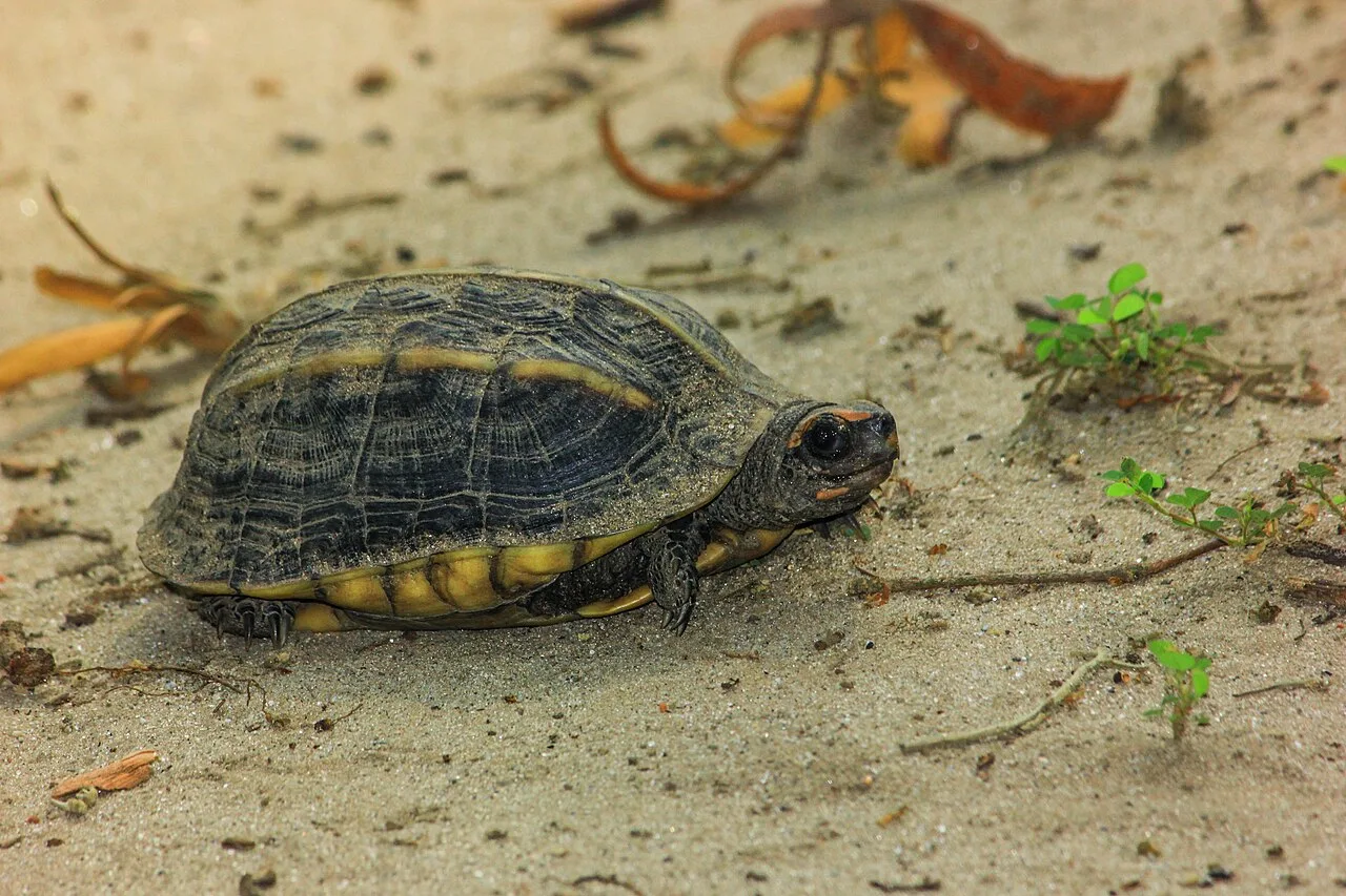
District · Uttar Pradesh
Pilibhit
Pilibhit offers a view of the Terai, the lowland belt along the Himalayan foothills, where forest, wetland and farmland meet.
Pilibhit lies in the Terai belt of northern Uttar Pradesh, adjoining Uttarakhand and Nepal. Its landscape brings together sal forests, grasslands, wetlands and fertile farmland, with the Sharda river shaping the eastern borderlands. Agriculture, including sugarcane, rice and wheat cultivation, remains central to everyday life. Historically part of Rohilkhand, the district carries the influence of the region’s eighteenth-century Rohilla rulers alongside older religious and trading traditions. Its best-known natural attraction is Pilibhit Tiger Reserve, notified in 2014. Beyond wildlife tourism, Pilibhit has the character of a working agricultural district, with market towns, village settlements and a well-established tradition of bamboo flute making.
Pilibhit offers a view of the Terai, the lowland belt along the Himalayan foothills, where forest, wetland and farmland meet. In Uttar Pradesh’s Rohilkhand region, it is best known to visitors for Pilibhit Tiger Reserve, notified in 2014, and for a long-standing tradition of bamboo flute making. The district is also a working agricultural landscape, with sugarcane, rice and wheat shaping its rural character. Travellers can use Pilibhit as a base for a forest-focused visit while experiencing the market-town life and cultivated countryside of northern Uttar Pradesh. It is a quieter alternative to the state’s better-known heritage circuits.
Pilibhit lies in the historic Rohilkhand region, whose name reflects the Rohilla Afghan chiefs who gained power there in the eighteenth century. Their influence, and the wider political changes of that period, form part of the region’s history. Before British rule, the area was connected to the shifting administration of northern India and to local religious, trading and agrarian traditions. The East India Company extended its control over Rohilkhand in the early nineteenth century, after which the region came under British administration. Pilibhit developed as a district within this wider administrative setting; the district is generally dated to 1879, when it was separated from Bareilly district. Under colonial rule and after independence, farming and market-town commerce remained important to local life. The district’s cultural identity also includes its bamboo flute-making tradition. Today, its history is visible less in a single monumental centre than in the interaction of village settlements, regional customs and the landscape of the Terai.
Food in Pilibhit reflects the wider Rohilkhand and northern Uttar Pradesh kitchen rather than a single signature district dish. Everyday meals commonly centre on roti or rice with dal, seasonal vegetables and dairy accompaniments. In town markets, look for familiar regional snacks such as samosas, kachori with potato curry, and freshly made jalebi. Milk-based sweets and winter gur fit the surrounding dairy and sugarcane-growing countryside. Awadhi kebabs and biryani belong to Uttar Pradesh’s broader food heritage, especially Lucknow, and should not be treated as Pilibhit specialities. Choose busy eateries and ask what has been cooked fresh.
Pilibhit is particularly associated with bamboo flute making, a recognised local craft that supplies bansuris for music and devotional use. Makers select and prepare bamboo, shape the blowing opening and finger holes, and tune the instrument with careful adjustments. The work combines practical hand skills with an understanding of pitch and tone. Buyers interested in a playable instrument should listen to it, check its tuning and ask about the maker. Elsewhere in Rohilkhand, embroidery and other handicrafts form part of the wider regional tradition, but are not necessarily Pilibhit specialities.
Holi, Diwali, Navratri and Dussehra are observed across Pilibhit, alongside Eid and other religious occasions reflecting the district’s diverse communities. These festivals usually fall in spring, autumn or the lunar-calendar months that shift from year to year. Local fairs and religious gatherings may take place around temples and shrines, though their scale and dates vary by locality. Festival periods can make market areas and roads busier, and accommodation may be more sought after around larger gatherings. Travellers should check locally for event schedules rather than assume a district-wide calendar.
Elsewhere in Uttar Pradesh
Pilibhit occupies the flat, fertile Terai, where farmland, grassland, wetlands and forest patches form a changing mosaic. Sal forest is a prominent feature of Pilibhit Tiger Reserve. The Sharda river runs along the district’s eastern borderlands, while smaller watercourses and seasonal wet areas shape parts of the countryside. There are no high hills within the district; the Himalayan foothills lie farther north. Roads connect settled areas, but journeys to forest-side locations can involve rural stretches and changing surface conditions, especially during the monsoon. Allow time for travel and follow official directions to the reserve’s designated entry point.
Summer is generally hot, and outdoor travel is more comfortable early or later in the day. The monsoon brings heavy showers and high humidity; rural roads and forest access can be affected by rain, so check conditions before setting out. Winter is cooler and often the most pleasant season for exploring the district, though mornings can be misty or chilly. The months from roughly October to March are usually the most comfortable for a visit, subject to current reserve access and safari arrangements. Pack light, breathable clothing for warmer days, a warm layer for winter mornings, rain protection during the monsoon, and suitable shoes for uneven or damp ground.
Pilibhit Junction is the principal rail gateway for the district. Pantnagar Airport in neighbouring Uttarakhand is an airport option for reaching the tiger reserve; compare available flights and onward road connections before booking. Road approaches link Pilibhit with Bareilly and nearby towns in Uttarakhand, with buses and hired vehicles useful for onward travel. Within towns, auto-rickshaws and e-rickshaws serve short journeys, while a taxi is more practical for forest-side accommodation. For Pilibhit Tiger Reserve, confirm the designated entry gate and safari arrangements rather than navigating to a general map marker. Check current services locally.
Pilibhit town is the main practical hub for onward road journeys within the district. Local buses and shared vehicles connect towns and larger settlements, while auto-rickshaws and e-rickshaws are useful for short trips within built-up areas. A hired car or taxi is more practical for reaching forest-side accommodation and the tiger reserve, particularly when travelling with luggage or on a flexible schedule. Public transport may be less convenient for the final leg to a designated reserve gate. Confirm the entry point and safari arrangements officially before travelling, and check local road conditions during the monsoon.
2 days: Pilibhit Tiger Reserve; sleep in Pilibhit town on night one. 3 days: Pilibhit Tiger Reserve; sleep in Pilibhit town on nights one and two, allowing time for a second reserve visit or a slower-paced stay.
Pilibhit town is the most practical base for visitors who want access to transport, shops and everyday services. For a reserve-focused visit, consider forest-side accommodation only after checking its location, availability and access arrangements; the nearest suitable stay may depend on the designated entry gate. The district has ordinary hotels and guesthouses, while homestays or government accommodation may be available in some areas but should not be assumed. Dharamshalas can serve travellers seeking simple lodging. Book ahead during holiday periods and confirm transport arrangements with your accommodation.
In the reserve, follow staff instructions, remain in authorised areas and do not approach or feed wildlife. Entry and safari arrangements may be controlled; confirm current rules and any required permissions through official reserve channels before travelling. Monsoon rain can make rural roads slippery or disrupt access, while winter mist may reduce visibility. Carry drinking water and use reliable sources, particularly on longer road journeys. Mobile connectivity can be weaker outside towns and forest areas, so keep essential details available offline. For medical needs, identify services in town in advance, and allow extra time for travel between settlements.
- Lakhimpur Kheriabout 64 km
- Champawat · Uttarakhandabout 71 km
- Udham Singh Nagar · Uttarakhandabout 72 km
- Nainital · Uttarakhandabout 93 km
- Rampurabout 103 km
- Almora · Uttarakhandabout 110 km
- Bahraichabout 112 km
- Bageshwar · Uttarakhandabout 134 km
Straight-line distance between the centres of each district's destinations; road distance is longer.
Q: How many days should I spend in Pilibhit? A: Two days suit a short reserve-focused visit; three days allow a slower pace or another visit, subject to access arrangements. Q: When is the best time to visit? A: October to March is generally more comfortable, though check current reserve access and weather before travelling. Q: Where is the best base? A: Pilibhit town is the practical base for transport and services; choose forest-side accommodation only after confirming access and location. Q: How do I get to Pilibhit? A: Pilibhit Junction is the main rail gateway. Road connections serve the district, and Pantnagar Airport in neighbouring Uttarakhand is another option; check onward transport. Q: Is Pilibhit suitable for families or elderly travellers? A: Yes, with planning. Arrange a suitable vehicle, allow time for road journeys, check accommodation access and follow reserve rules; forest visits may involve uneven ground and limited connectivity.
This page draws on our 1 destination guides for Pilibhit and is updated as our team checks it.
Be the first to share photos, stories, advice or a helpful contact for Pilibhit.
Loading…