
District · Uttarakhand
Rudraprayag
Gateway to Kedarnath and Tungnath.
Rudraprayag district lies in the Garhwal Himalaya of Uttarakhand, where steep mountain slopes, forested valleys and river corridors shape everyday life and travel. The district takes its name from Rudraprayag town, at the confluence of the Alaknanda and Mandakini rivers. It is an important pilgrimage region: routes through the district lead towards Kedarnath, while Ukhimath, Guptkashi and other settlements have their own temple traditions. The landscape ranges from inhabited valleys to high, remote terrain, including the meadows around Chopta and the trekking country near Deoria Tal and Madhyamaheshwar. Pilgrimage, farming and seasonal tourism all contribute to the district’s character, with travel conditions changing markedly between seasons.
Rudraprayag is a pilgrimage and mountain-travel district in the Garhwal Himalaya of Uttarakhand, centred on the meeting of the Alaknanda and Mandakini rivers. It is best known as a route towards Kedarnath and for the region’s Shiva temples, including Tungnath and Madhyamaheshwar. Ukhimath and Guptkashi are important places in local religious life, while Chopta and Deoria Tal draw visitors interested in walking, forests and highland scenery. The district offers a mix of pilgrimage, village landscapes and trekking, but journeys often involve steep roads and substantial walking. Its high routes and services are strongly seasonal.
The district’s history is part of the wider history of Garhwal. The Katyuri kingdom held influence in parts of the region in the early medieval period; later, Garhwal came under the rule of the Panwar, also called Parmar, rulers, whose kingdom was centred farther west. Gorkha forces expanded into Garhwal in the late eighteenth century. After the Anglo-Nepalese War and the 1816 Treaty of Sugauli, the British took control of much of Garhwal, while the princely state of Tehri Garhwal continued to rule adjoining territory. The present district includes areas that had belonged to more than one administrative unit, so its local histories are varied. Pilgrimage traditions around Kedarnath and other shrines have shaped settlement, seasonal travel and religious life for generations. Rudraprayag district was established in 1997 from areas formerly in Chamoli, Tehri Garhwal and Pauri Garhwal districts. Rudraprayag town, named for its river confluence, became the district headquarters.
9 destination guides · 8 on the map
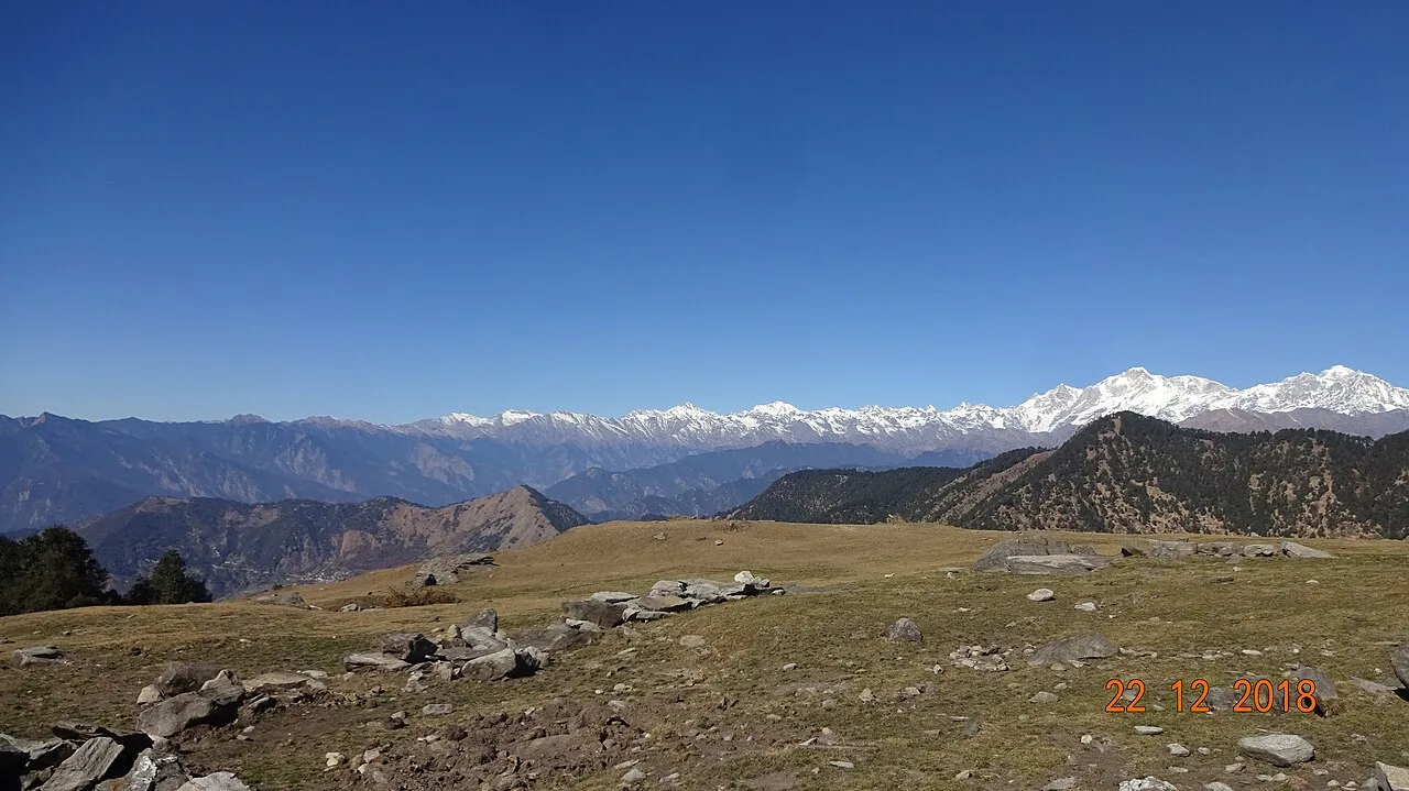
Chopta
Chopta is a meadow and woodland area in Uttarakhand’s Rudraprayag district. Visitors come for Himalayan views and to trek to Tungnath and Chandrashila.
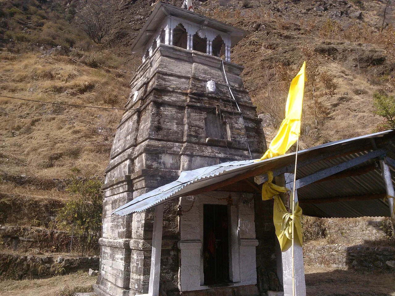
Deoria Tal
Deoria Tal is a lake in Uttarakhand’s Rudraprayag district, visited for its forested setting, snow-covered mountain backdrop and religious significance.
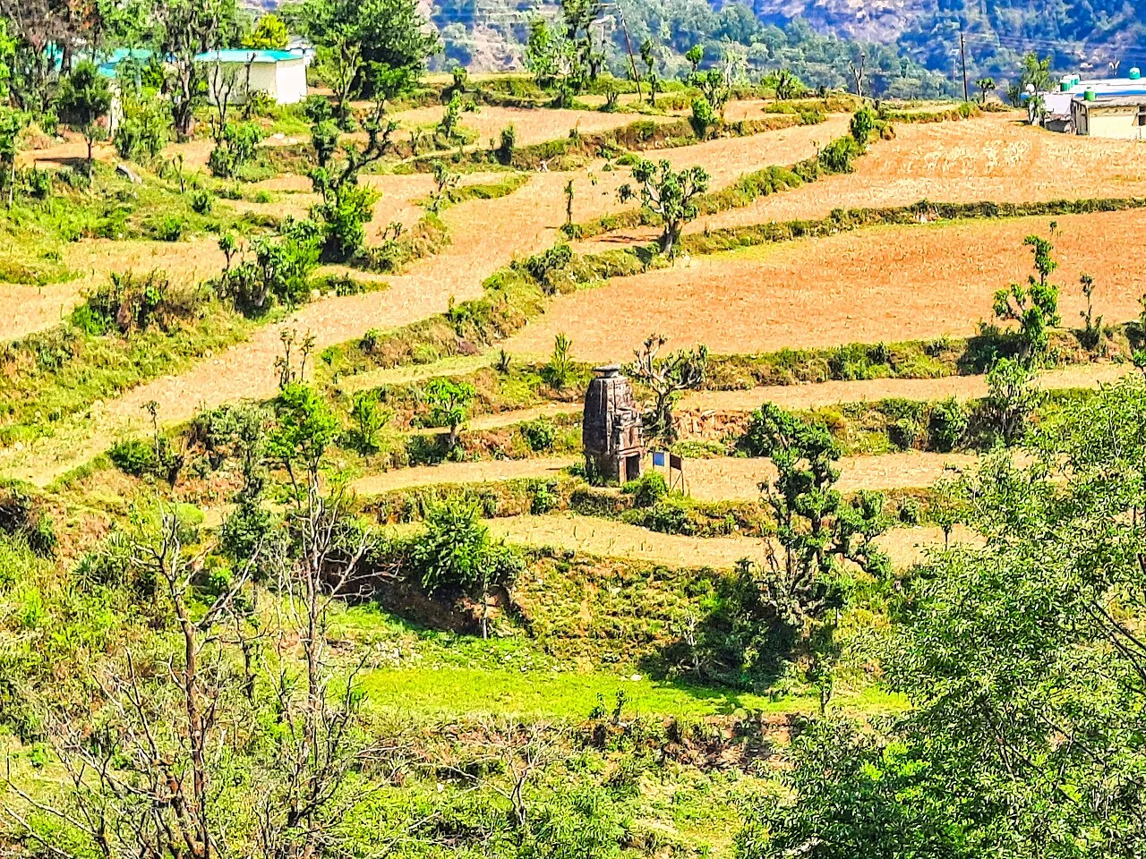
Guptkashi
Guptkashi is a Himalayan town in Uttarakhand, known for its Shiva temples and religious associations. Travellers also pass through on the route to Kedarnath, with Chaukhamba’s snow-covered peaks forming the backdrop.
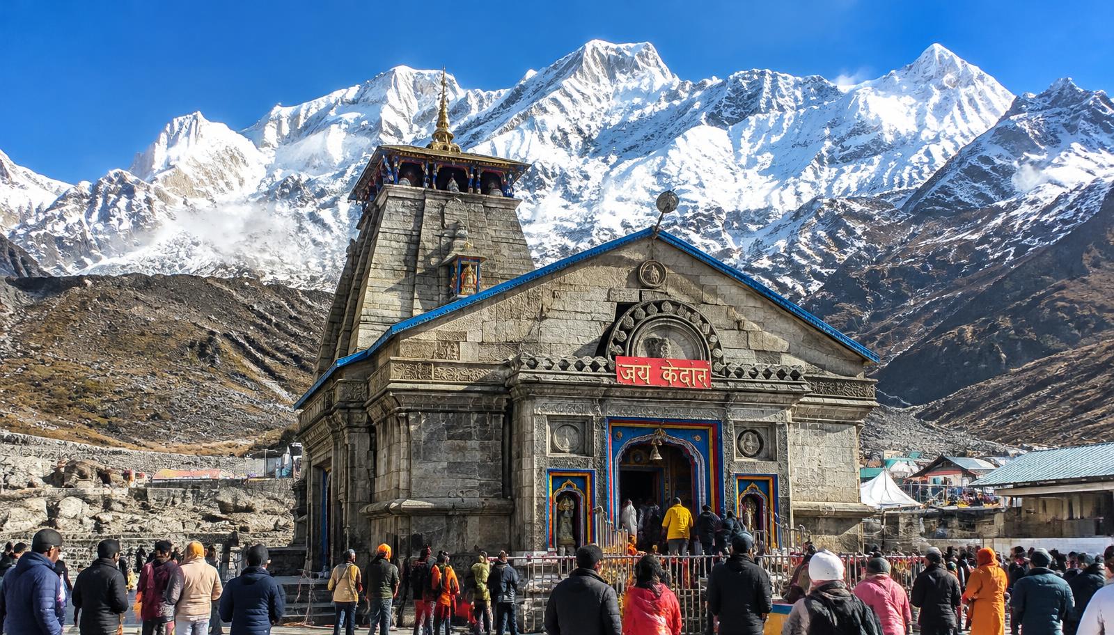
Kedarnath
Kedarnath is a high-altitude Shiva shrine in Uttarakhand, counted among the twelve Jyotirlingas. Pilgrims visit as part of the Char Dham journey, travelling 16 km from Gaurikund beneath snowy peaks.
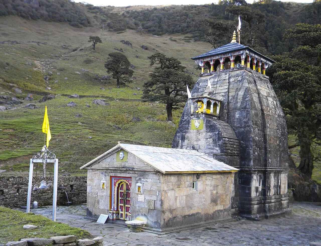
Madhyamaheshwar Temple
Madhyamaheshwar, also called Madmaheshwar, is a Shiva shrine in Rudraprayag district and part of the Panch Kedar circuit, visited by pilgrims to worship Shiva’s middle form.
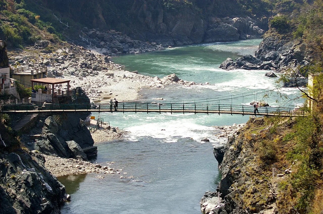
Rudraprayag
Rudraprayag is an urban centre in Uttarakhand, known for the Alaknanda–Mandakini confluence and its place among the Panch Prayag. Visitors may also travel to Kedarnath, 86 km away.
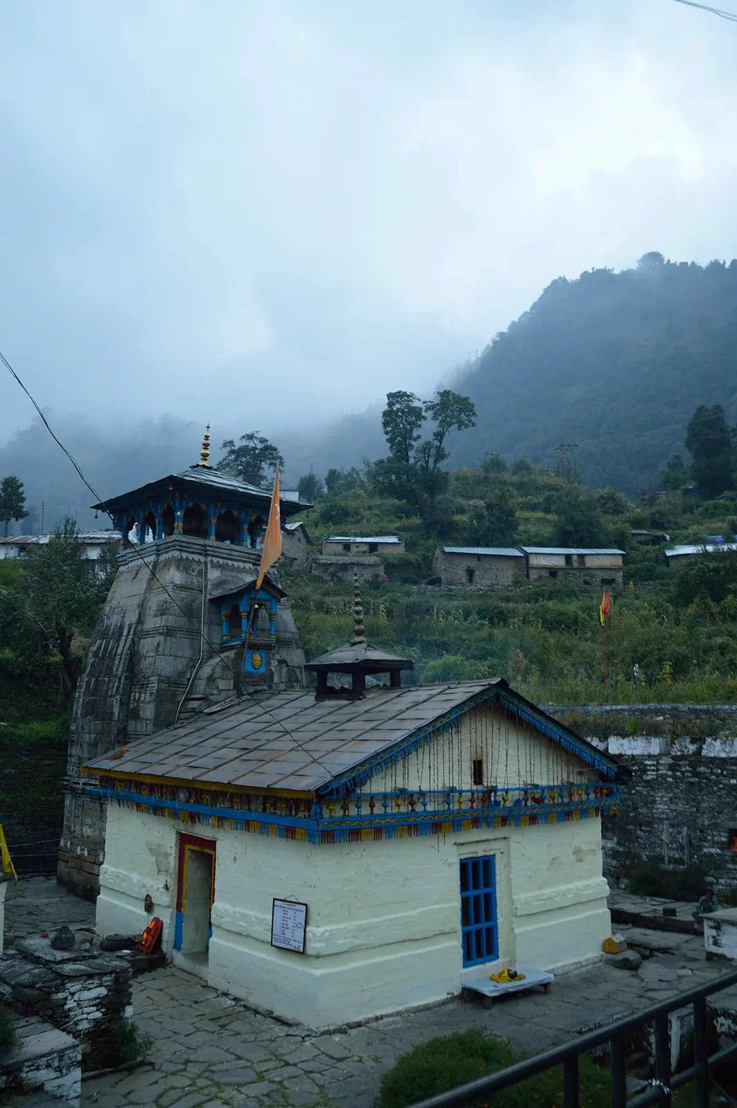
Triyuginarayan Temple
Set in Triyuginarayan village, in Uttarakhand’s Rudraprayag district, this Hindu shrine honours Vishnu. Pilgrims visit for its association with Shiva and Parvati’s wedding and the fire believed to have burned since that ceremony.
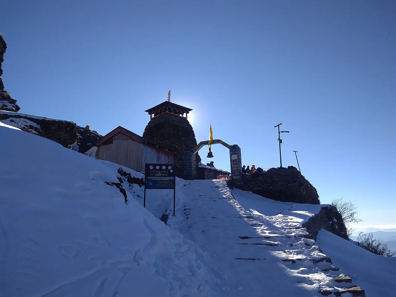
Tungnath Temple
At 3,680 metres in Uttarakhand’s Rudraprayag district, Tungnath is among the world’s highest Shiva temples and the highest shrine in the Panch Kedar group. Visitors are drawn by its religious significance and links to the Pandavas.
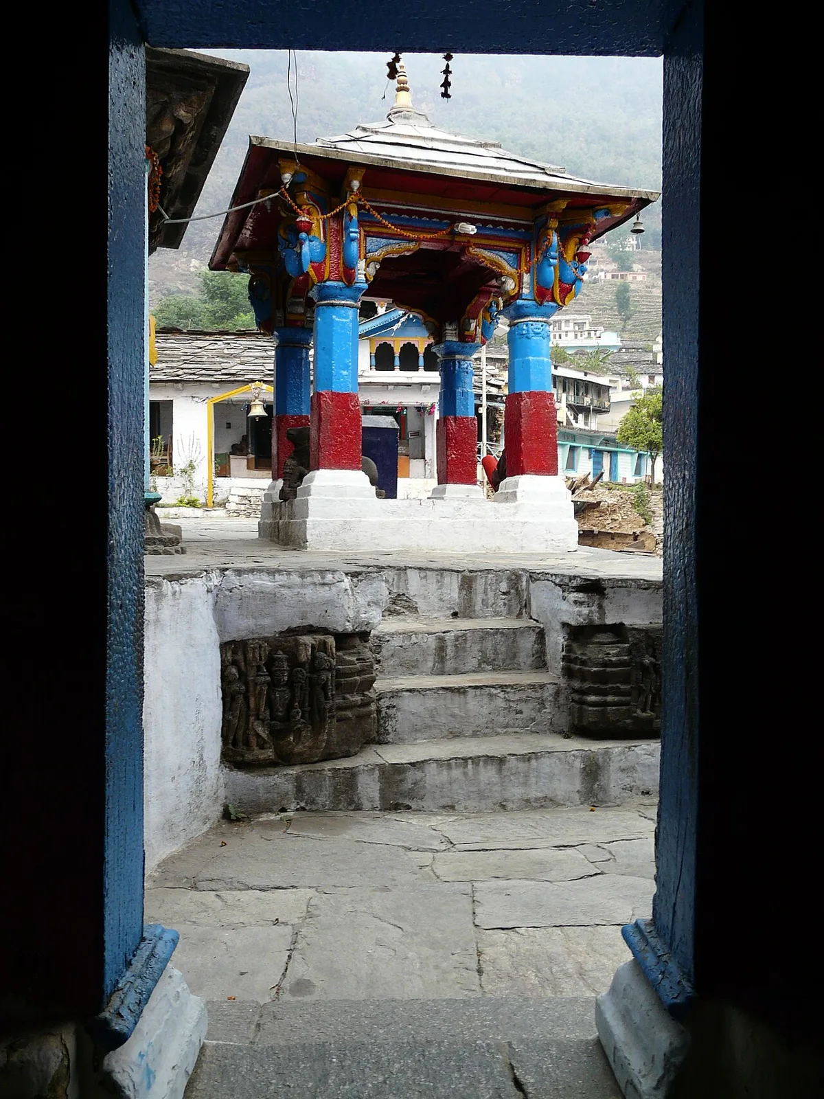
Ukhimath
Ukhimath is a town in Uttarakhand’s Rudraprayag district and a pilgrimage destination. Visitors come for its religious role; the town is situated about 1,311 metres above sea level.
Food in Rudraprayag reflects wider Garhwali and Uttarakhand traditions. Everyday dishes include kafuli, a leafy-green curry; phaanu and chainsoo, made with lentils; bhatt ki churkani; and aloo ke gutke. Mandua, or finger-millet, rotis and jhangora kheer are also found across the region. Small-town eateries often prepare a limited menu from what is available that day, so it is worth asking what is fresh. Meals are generally simple and warming, with many vegetarian choices; in pilgrimage centres, some kitchens avoid onion and garlic. Seasonal buransh squash is a regional specialty when available.
Rudraprayag does not have one widely documented craft that defines the whole district, but visitors may encounter traditions shared across Garhwal and Uttarakhand. These include hand-knitted or woven woollens suited to the mountain climate, and baskets or household items made from ringaal, a local form of hill bamboo. Woodworking and carving also appear in regional religious and domestic settings. Availability varies by village and season, and many objects are made for practical use rather than tourist sale. Ask locally about the maker and materials, and distinguish regional work from products brought in from elsewhere.
Religious observances shape the festival calendar, especially at Kedarnath, Tungnath and other Shiva shrines. Mahashivratri, usually in late winter or early spring, is marked in the region, while temple ceremonies and fairs also take place during the pilgrimage season. Kedarnath’s annual opening and closing ceremonies draw pilgrims, with the opening usually in spring and the closing in autumn; dates vary each year. Harela and other seasonal observances are celebrated in parts of Uttarakhand. Crowds and demand for rooms rise around major ceremonies and during the summer pilgrimage period, so plan accommodation ahead.
Elsewhere in Uttarakhand
The district rises from river valleys into steep, forested slopes and high Himalayan terrain. The Alaknanda and Mandakini meet at Rudraprayag town, while tributary valleys and mountain roads lead towards Guptkashi, Ukhimath and the Kedarnath region. Forests, alpine meadows and high ridges characterise areas around Chopta and the walking routes to Deoria Tal, Tungnath and Madhyamaheshwar. Elevation and narrow roads shape travel: journeys that look short on a map can take time, and rain, landslides or snow may disrupt access.
Summer, especially May and June, is generally the most accessible period for many pilgrimage routes, though it can be busy. The monsoon, usually from June into September, brings heavy rain, slippery trails and a greater chance of landslides or road disruption. September and October often offer clearer conditions after the rains, but high-altitude weather can change quickly. Winter is cold, and snow may affect access to upper routes; some seasonal services and shrines close or reduce activity. Pack layered clothing, a waterproof outer layer, sturdy footwear and sun protection. For high walks, carry warm clothing even in warmer months and check current route conditions before setting out.
Jolly Grant Airport near Dehradun and Yog Nagari Rishikesh railway station are the principal air and rail gateways for Rudraprayag district. From there, road journeys follow the Garhwal route through Rishikesh and Devprayag towards Rudraprayag town. Roads branch from the district town towards Guptkashi and Sonprayag, and towards Ukhimath and Chopta; buses, shared jeeps and taxis serve many routes, though frequency can vary. Kedarnath-bound travellers continue to Sonprayag, use local transport arrangements towards Gaurikund, then walk the remaining route. Mountain roads can be slow and weather-sensitive, so allow flexibility and check current services locally.
Rudraprayag town is a road junction for journeys towards Guptkashi and Sonprayag, and towards Ukhimath and Chopta. Local buses, shared jeeps and taxis connect many settlements, but services can be less frequent on smaller mountain roads and outside busy seasons. Pilgrims travelling towards Kedarnath continue to Sonprayag and use locally arranged transport towards Gaurikund before walking the remaining route. Taxis can help with flexible stops, while some trailheads require onward walking. There is no regular boat transport between the district’s sights. Confirm road access and local services before departure.
2 days: Rudraprayag → Guptkashi → Ukhimath; sleep in Guptkashi on night one and Ukhimath on night two. 3 days: Ukhimath → Deoria Tal → Chopta → Tungnath Temple; sleep in Ukhimath on night one and Chopta on night two. 4 days: Guptkashi → Kedarnath → Guptkashi → Ukhimath; sleep in Guptkashi on night one, Kedarnath on night two and Guptkashi on night three.
Rudraprayag town is a practical base for the river confluence and road journeys through the district. Guptkashi suits pilgrims heading towards Sonprayag and Kedarnath, while Ukhimath is useful for Deoria Tal, Chopta and nearby temple routes. Chopta has a smaller, more seasonal choice of stays and works for trekking plans. Accommodation ranges from hotels and guesthouses to homestays, government lodges and dharamshalas in larger pilgrimage centres. Options become limited at higher elevations and during winter closures, so confirm seasonal availability and reserve ahead during busy pilgrimage periods.
Mountain roads are narrow and weather-sensitive; allow flexibility and check for closures, landslides and local travel advice. Trails can be steep, exposed and slippery, and altitude may affect visitors unused to it. Carry drinking water and use treated or sealed water where its safety is uncertain. Forest areas are wildlife habitat: keep a respectful distance and do not feed animals. Crowds increase during pilgrimage season, while mobile connectivity can be patchy away from towns. Follow official guidance for Kedarnath and other trekking routes, and confirm any current permits or protected-area requirements with the relevant authorities before travel.
- Chamoliabout 46 km
- Pauri Garhwalabout 70 km
- Uttarkashiabout 73 km
- Tehri Garhwalabout 78 km
- Bageshwarabout 92 km
- Dehradunabout 100 km
- Haridwarabout 110 km
- Almoraabout 112 km
Straight-line distance between the centres of each district's destinations; road distance is longer.
Q: How many days should I spend in Rudraprayag district? A: Two or three days can cover a few towns or a short nature-focused circuit. Allow more time for Kedarnath or longer treks, and build in flexibility for mountain conditions. Q: When is the best time to visit? A: May and June are popular for pilgrimage and trekking, while September and October can bring clearer post-monsoon conditions. Monsoon travel is more disruption-prone, and winter access to high routes may be limited. Q: What is the best base for exploring the district? A: Rudraprayag town is useful for road connections; Guptkashi suits Kedarnath journeys, and Ukhimath or Chopta works better for nearby walks and highland sights. Q: How do I get to Rudraprayag? A: Travel by road from the Rishikesh area via Devprayag. Jolly Grant Airport and Yog Nagari Rishikesh railway station are the principal gateways; onward journeys are by bus, shared jeep or taxi. Q: Is the district suitable for families or elderly travellers? A: Towns and road-accessible shrines can suit visitors who plan around mobility and weather. High-altitude routes involve steep walking and may not be suitable for everyone; seek medical advice where appropriate and avoid rushing.
This page draws on our 9 destination guides for Rudraprayag and is updated as our team checks it.
Be the first to share photos, stories, advice or a helpful contact for Rudraprayag.
Loading…