
District · Himachal Pradesh
Kinnaur
Kinnaur lies in the eastern Himalaya of Himachal Pradesh, along routes that lead from the Sutlej valley towards the Tibetan border and Spiti.
Kinnaur occupies the eastern edge of Himachal Pradesh, where the Sutlej cuts through deep valleys below high Himalayan and Trans-Himalayan ranges. Its settlements range from apple-growing villages and the green Baspa Valley to dry, high-altitude places such as Nako. The district borders Tibet, and its landscape and culture reflect both Himalayan Hindu and Buddhist traditions. The old Hindustan–Tibet route helped connect the region with trade and travel across the mountains; today, the winding road along the Sutlej remains its principal link with the rest of Himachal. Reckong Peo is the district headquarters, while places such as Kalpa, Sangla and Chitkul are known for their distinct valley settings and mountain views.
Kinnaur lies in the eastern Himalaya of Himachal Pradesh, along routes that lead from the Sutlej valley towards the Tibetan border and Spiti. Travellers come for its mix of Hindu and Buddhist traditions, mountain villages, orchards and striking changes in scenery between river gorges and high, dry valleys. The district is especially known for the Baspa Valley around Sangla and Chitkul, views of the Kinnaur Kailash range from Kalpa, and the high-altitude village of Nako. It offers a quieter, road-based Himalayan journey, though distances are long and conditions can change quickly.
The history of Kinnaur is shaped by its Himalayan communities, trade routes and close cultural links with Tibet. Local traditions and older accounts refer to Kinnauras or Kinners, while Hindu and Buddhist practices have long coexisted across the region. For centuries, much of the area that is now Kinnaur was associated with the princely state of Bushahr, whose rulers governed territories along the Sutlej and had their later capital at Rampur Bushahr. Under British rule, Bushahr remained a princely state under British paramountcy rather than becoming a directly administered district. After independence, Bushahr joined the Indian Union in 1948 and its territories were incorporated into the new administrative arrangements for Himachal Pradesh. Kinnaur was made a separate district in 1960, formed from the former Chini area of Mahasu district. Himachal Pradesh became a full state in 1971. The district’s present-day identity reflects both its administrative history and its enduring links to neighbouring Himalayan regions.
7 destination guides
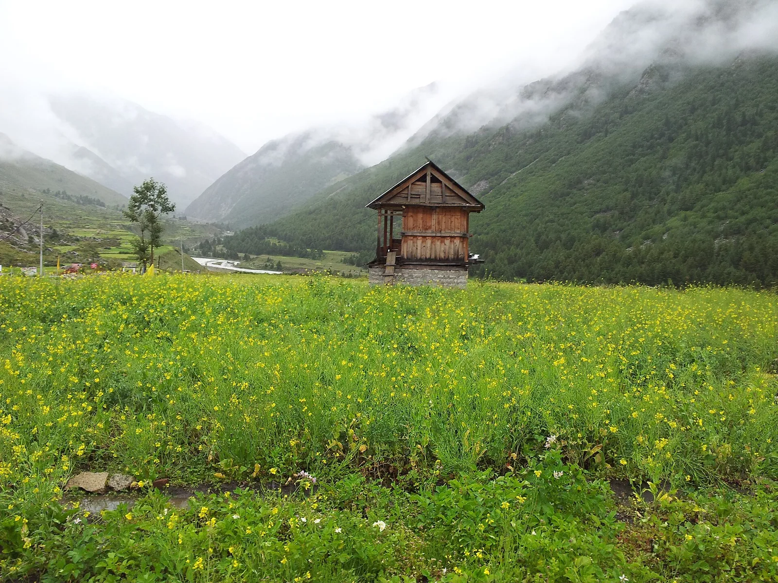
Chitkul
Chitkul is a village in Himachal Pradesh’s Kinnaur district, known for heavy winter snowfall and exceptionally clean air. These features make it a point of interest for visitors.
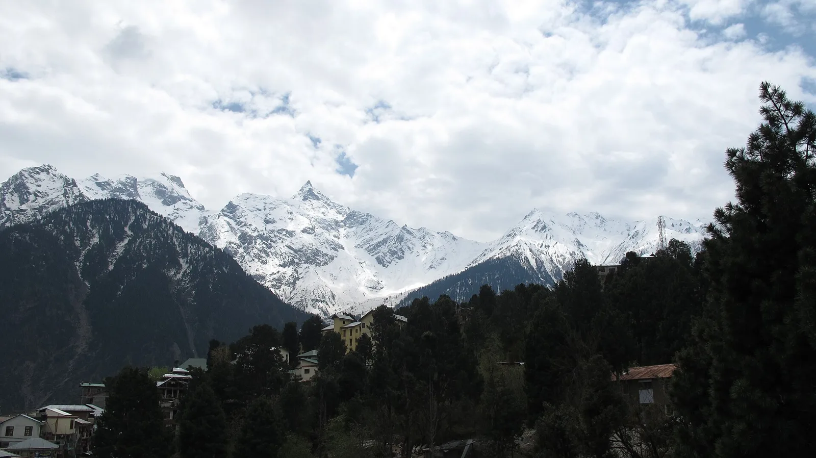
Kalpa
Kalpa is a village in Himachal Pradesh’s Kinnaur district, set in the Sutlej valley. Visitors are drawn by its apple-growing landscape and temples reflecting the area’s Hindu and Buddhist traditions.
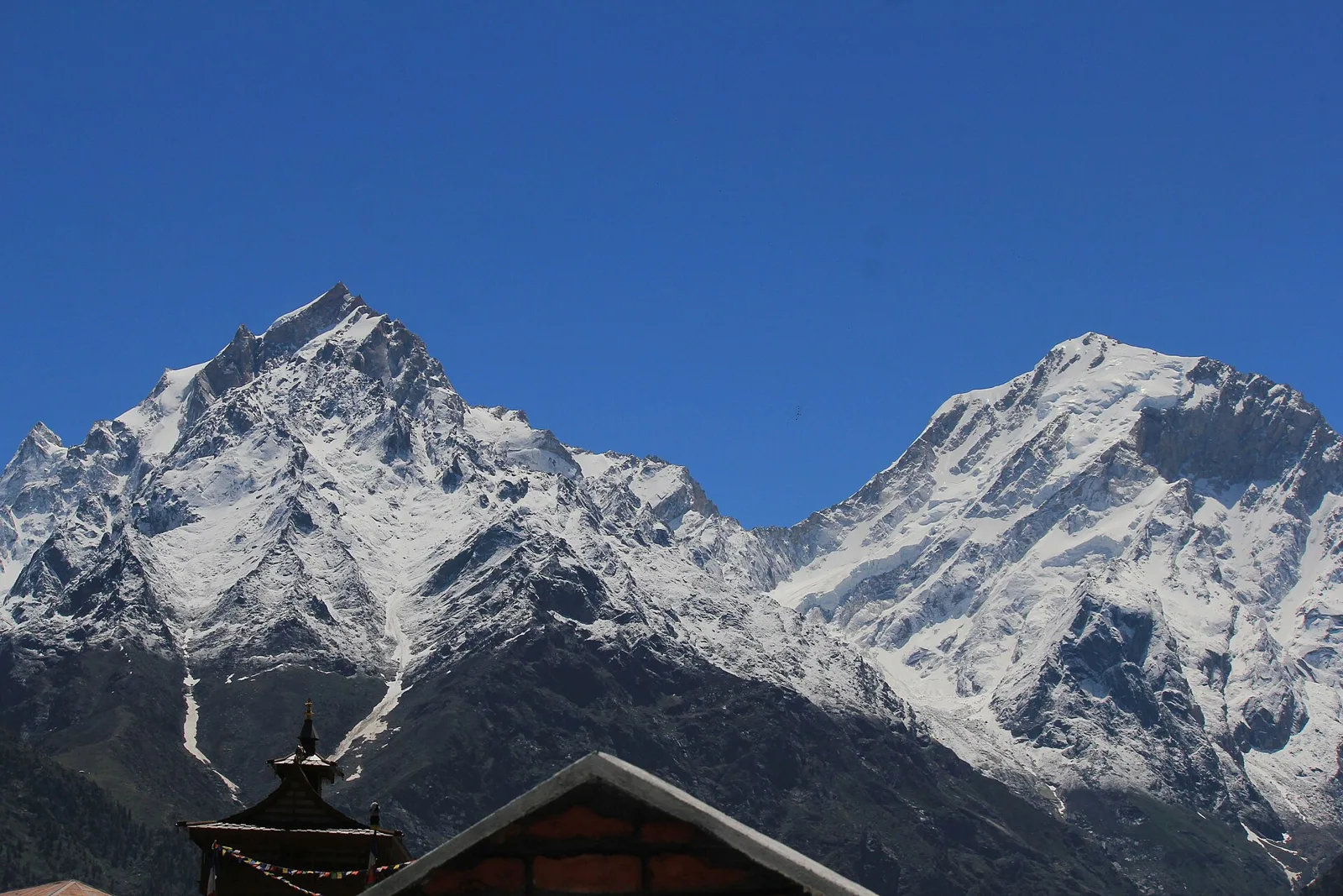
Kinnaur Kailash
Kinnaur Kailash is a sacred mountain in Himachal Pradesh’s Kinnaur district, visited for its association with Shiva and Parvati and the revered Shivling on its slopes.
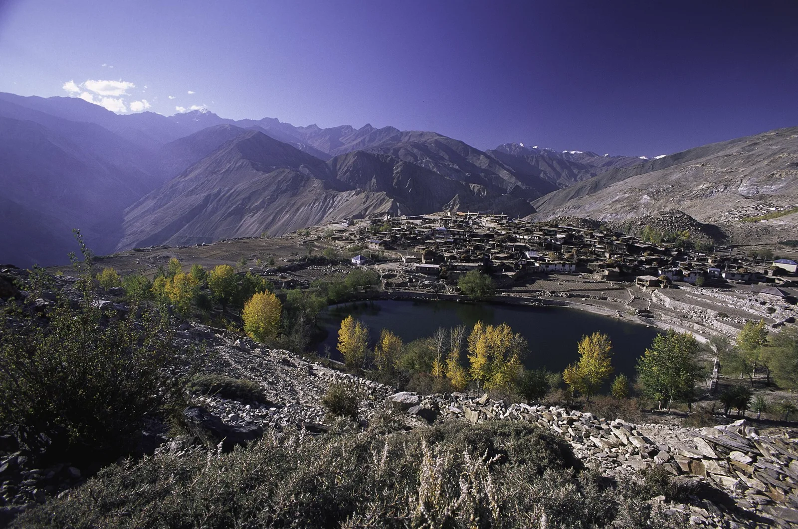
Nako
Nako is a Himalayan settlement in Kinnaur district, Himachal Pradesh, near the India-China border. Visitors are drawn to its lake, Buddhist monastery and chortens.
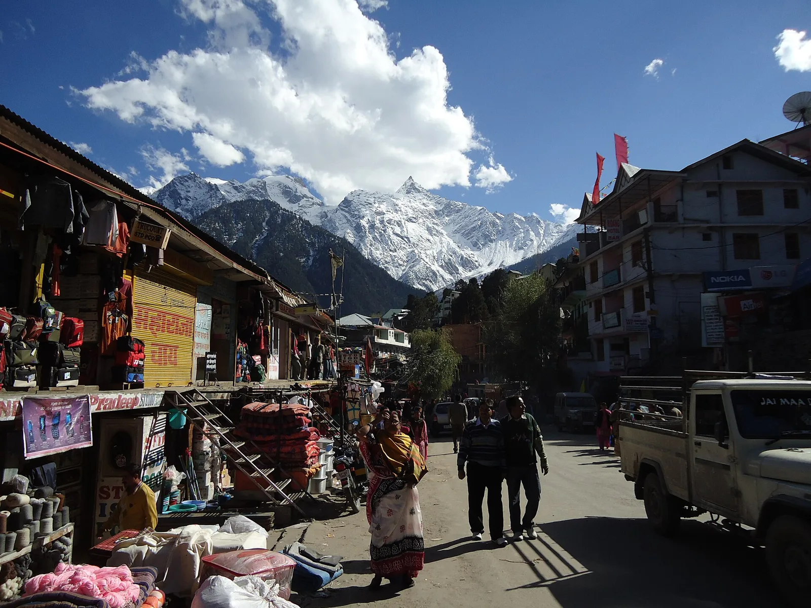
Reckong Peo
Reckong Peo is Kinnaur’s administrative and commercial centre in Himachal Pradesh, and a base for pilgrims visiting a sacred rock pillar and travellers moving around the district.
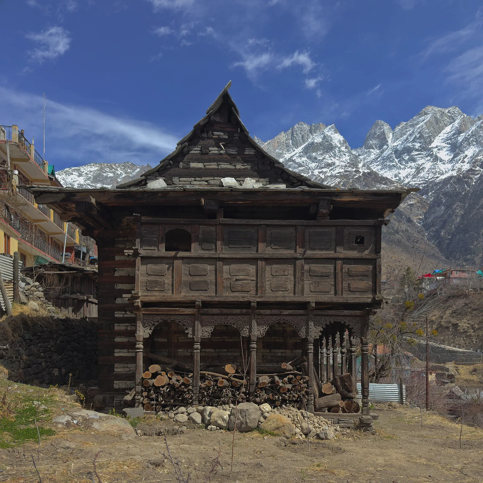
Sangla
Sangla is Kinnaur’s principal town in Himachal Pradesh’s Baspa Valley. Visitors may use its position near the Tibetan border and its role as the valley’s main settlement as a focus for exploring the area.
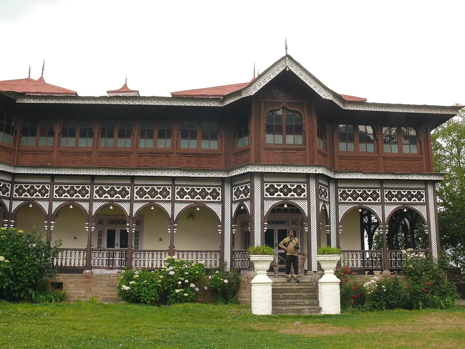
Sarahan
Sarahan, in Kinnaur district, Himachal Pradesh, draws visitors to the Bhimakali Temple and its links to the former Bushahr kingdom, for which it served as the summer capital.
Kinnaur’s food draws on wider Himachali and Himalayan traditions. Siddu, a steamed stuffed bread, madra, babru and chha gosht are among the regional dishes visitors may encounter; dham is a traditional festive meal rather than an everyday restaurant menu. Trout is served in some places, and apples and apricots are important seasonal produce. Food choices can be limited in smaller or remote settlements, and menus may depend on what is available that day. Ask locally about fresh dishes, and carry water and snacks when travelling between villages.
Kinnaur is associated with wool weaving, including the well-known Kinnauri shawl tradition. Shawls and other woven textiles may feature geometric designs and coloured borders, though patterns and availability vary among makers. Traditional caps are also part of local dress and are sold in some markets. In parts of the wider region, timber carving and woodwork can be seen in religious and community buildings. These traditions are part of a broader Himalayan craft heritage; visitors interested in buying directly from artisans should ask locally about the maker, materials and origin of an item.
Kinnaur’s festivals draw on local Hindu and Buddhist traditions and are often celebrated village by village. Phulaich, also called the flower festival, is associated with autumn and honours local deities and the season’s flowers. Sazo is observed in winter, while Losar, the Tibetan New Year, is celebrated in some Buddhist-influenced communities around the winter season. Local fairs and temple gatherings can bring residents and visitors together, with busier periods in village centres and limited accommodation filling sooner. Dates and customs vary between places, so check locally before planning around a particular celebration.
In this district
Elsewhere in Himachal Pradesh
The Sutlej cuts through deep gorges in western Kinnaur, while the Baspa Valley branches towards Sangla and Chitkul. Farther east, the landscape becomes higher and drier around Nako and the Spiti approach. Steep slopes, snow-covered peaks, pine and deodar forests, orchards and exposed rock occur across the district. Villages and roads often cling to narrow valley sides, so journeys can be slow and vulnerable to rockfall or landslides. Elevation changes sharply between destinations, making the route as much a part of the visit as the stops themselves.
Summer, broadly from late spring into early autumn, is the most practical season for visiting, with milder conditions in the valleys and cooler weather at higher settlements. The monsoon can bring rain, landslides and road disruption, especially on exposed valley routes, although eastern Kinnaur is relatively dry. Winter brings cold, snow and possible road closures, particularly at higher elevations. May and June suit travellers seeking accessible roads and greener scenery; September and October often bring clearer skies, but nights are cold. Pack warm layers in every season, plus sturdy footwear, sun protection and rain protection during the monsoon period.
Kinnaur is reached chiefly by road from Shimla along National Highway 5, following the Sutlej valley through the hill country. The route continues towards Reckong Peo and branches to settlements such as Kalpa and Sangla; roads are winding, and journey times can be affected by weather, landslides or closures. Chandigarh and Kalka are useful rail gateways, while Shimla’s narrow-gauge railway is a regional heritage route. Shimla and Bhuntar airports serve the wider region, but air connections are limited and road travel is still needed. Buses and taxis link principal settlements, with fewer options in remote areas. Check current services locally before travelling.
Road is the main way to move around Kinnaur. The Hindustan-Tibet road, part of National Highway 5, links the Sutlej valley settlements, while a branch from the Karcham area follows the Baspa towards Sangla and Chitkul. Nako lies farther east on the route towards Spiti. Local buses connect some towns and villages, but services are limited and may be affected by road conditions. Shared jeeps and hired taxis are common options for reaching smaller settlements; confirm return arrangements locally. Walking is useful within villages, but steep paths and altitude can make short distances demanding.
2 days: Reckong Peo → Kalpa; sleep in Kalpa. 3 days: Sangla → Chitkul → Reckong Peo → Kalpa; sleep in Sangla on night one and Kalpa on night two. 4 days: Sarahan → Sangla → Chitkul → Reckong Peo → Kalpa → Nako; sleep in Sangla, Kalpa and Nako on successive nights.
Reckong Peo is a practical base for district services and road connections, while Kalpa suits travellers focusing on village walks and mountain views. Sangla offers access to the Baspa Valley, with simpler stays also found in Chitkul and Nako. Accommodation ranges from hotels and homestays to guesthouses; government lodges or dharamshalas may be available in selected places. Facilities become more basic in smaller and higher villages, and availability can be limited during festivals or busy travel periods. Confirm arrangements ahead, especially for remote stops.
Mountain roads are narrow and can be affected by landslides, rockfall, snow or sudden weather changes; check current road conditions before setting out and avoid rushing between stops. Allow time to acclimatise at higher places such as Nako, and seek medical advice if altitude symptoms worsen. Carry drinking water or use reliably treated water, and keep away from unstable slopes and wildlife. Mobile connectivity is intermittent, particularly outside larger settlements. Border-zone access rules can change, especially for foreign visitors; confirm any permit requirements with official authorities before travel rather than assuming none are needed.
- Uttarkashi · Uttarakhandabout 64 km
- Lahaul and Spitiabout 87 km
- Shimlaabout 114 km
- Tehri Garhwal · Uttarakhandabout 127 km
- Dehradun · Uttarakhandabout 129 km
- Kulluabout 130 km
- Sirmaurabout 131 km
- Mandiabout 133 km
Straight-line distance between the centres of each district's destinations; road distance is longer.
Q: How many days should I spend in Kinnaur? A: Three to five days allows time for a few main valleys and villages; add more days if including Nako or travelling at a relaxed pace. Q: When is the best time to visit? A: May, June, September and October are generally practical choices, though road and weather conditions can vary. Q: What is the best base? A: Reckong Peo is useful for connections, Kalpa for nearby village scenery, and Sangla for the Baspa Valley. Q: How do I get to Kinnaur? A: Most visitors travel by road from the Shimla side, using buses, shared vehicles or taxis; onward public transport is limited in some areas. Q: Is Kinnaur suitable for families or elderly travellers? A: It can suit families and fit travellers who are comfortable with long, winding road journeys, but high altitude, steep paths and limited facilities may challenge some elderly visitors or people with mobility or health concerns.
This page draws on our 7 destination guides for Kinnaur and is updated as our team checks it.
Be the first to share photos, stories, advice or a helpful contact for Kinnaur.
Loading…