Ghumoopedia — Explore, Discover, Experience
Sign in
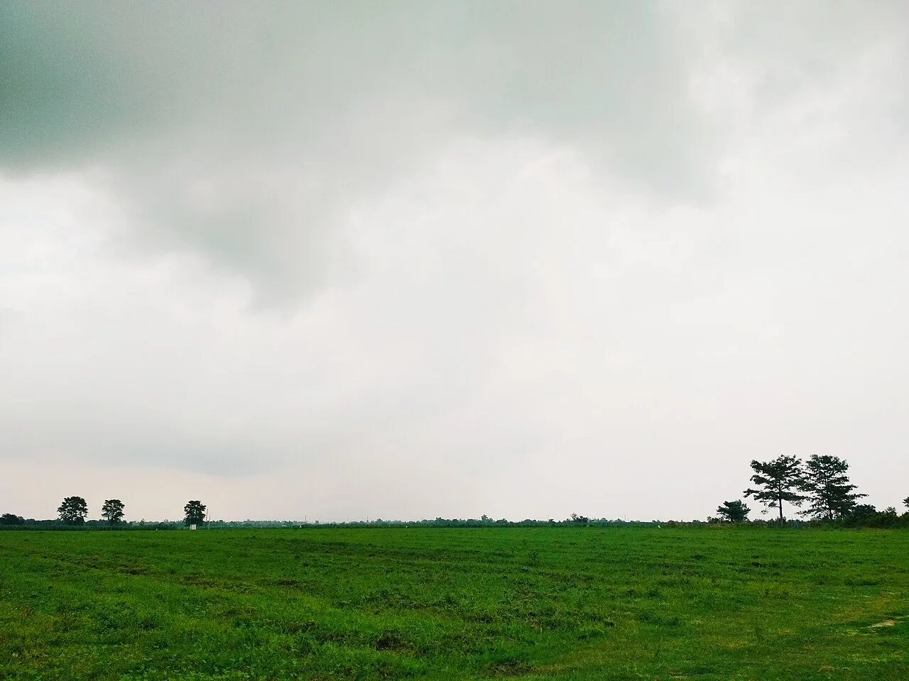
Gangrel Dam, near Kanker

City guide · Chhattisgarh

Kanker

Kanker is the administrative headquarters of Kanker district and an important service and market town in the northern part of the Bastar region. Its setting among forested hills gives it a quieter character than larger urban centres, while its shops, transport links and public offices serve surrounding villages.

Famous for

  • Kanker Palace
  • Gadiya Mountain
  • Malanjhkudum waterfalls
  • Shivani Temple
  • Madai festivals

Why Kanker matters

Kanker is the administrative headquarters of Kanker district and an important service and market town in the northern part of the Bastar region. Its setting among forested hills gives it a quieter character than larger urban centres, while its shops, transport links and public offices serve surrounding villages. The town is also a useful base for exploring nearby natural and cultural attractions.

Visitors come for Kanker Palace, a landmark associated with the former princely state, and for the hilltop views and local legends of Gadiya Mountain. Waterfalls at Malanjhkudum are another draw, especially when seasonal streams are flowing. Temples and community festivals offer a glimpse of local religious life and the region’s mix of Adivasi and wider Chhattisgarhi traditions. Kanker is not primarily a shopping or resort destination; its appeal lies in combining a small-town visit with short excursions into the countryside. Its location and district-headquarters role make it a practical stopping point for travellers exploring this part of Chhattisgarh.
Famous for: crafts, trade & products

Kanker is not widely identified with a single textile, saree or GI-tagged product. Its town markets mainly serve local needs, with everyday goods and produce brought in from nearby rural areas. Depending on the season, stalls and shops may offer forest and farm produce such as tamarind or mahua products. Availability varies, so visitors looking for a particular item should ask locally rather than assume it is sold year-round.

The wider Bastar region is known for traditional crafts, including bell-metal work, wrought-iron objects and woodwork. These are regional traditions, not products unique to Kanker, and selections may be limited in the town itself. For locally made items, look around the central market and ask shopkeepers about the makers and origin of a piece. Kanker Palace is the town’s best-known heritage institution and landmark, but it is not a craft market. Travellers seeking a broader choice of Bastar handicrafts can enquire about current availability in Kanker or plan to visit larger regional centres. Buying directly from an artisan or a reputable local seller can help clarify how an object was made and where it comes from.

History

Kanker grew as the centre of a princely state whose rulers governed the surrounding territory before Indian independence. The town’s palace remains a visible reminder of that period and of the local royal household. Under British rule, Kanker was one of the princely states within the system of indirect administration; it was not governed in the same way as a directly administered British district.

After independence, the princely state joined the Indian Union, and Kanker became part of the reorganised administrative structure of the region. For a period, the area was administered within the larger Bastar district. The creation of Kanker district established the town more firmly as a centre for government services, education, trade and transport for nearby communities. Chhattisgarh’s formation as a separate state further situated Kanker within the state’s administrative network. Today, its growth is shaped less by large-scale industry than by its role as a district headquarters and a gateway to rural and forested areas.

Food, festivals & culture

Rice is central to everyday meals in Kanker, as across much of Chhattisgarh. Visitors may encounter dishes such as chila, a savoury rice-and-lentil pancake, fara, steamed rice-dough dumplings, and local preparations of seasonal vegetables. Food offerings vary between homes, eateries and market stalls; simple rice meals are more typical than a single signature city dish. Mahua and other forest products have cultural and seasonal importance in some communities, though local customs differ.

Hareli, usually observed during the monsoon, and Pola, generally celebrated later in the rainy season, are among the region’s agricultural festivals. Madai fairs and festivals are important in tribal parts of the wider region and are held at different places and times; ask locally about events during a visit. Hindi and Chhattisgarhi are widely used, alongside languages including Gondi and Halbi in surrounding communities. Folk music, dance and ritual traditions are diverse. Shivani Temple and other local shrines are places of worship, while the palace and its grounds reflect another strand of the town’s heritage.

Visiting the city

The cooler months, roughly October to March, are generally the most comfortable time to visit. The monsoon brings greener scenery and can improve the look of waterfalls, but heavy rain may affect road journeys and trail conditions. Swami Vivekananda Airport in Raipur is the main airport for reaching Kanker; Raipur Junction is the principal railway station commonly used for onward travel. Kanker does not have a major railway station in the town.

Buses and hired cars connect Kanker with other towns in Chhattisgarh. Within town, auto-rickshaws and local vehicles can help with short trips; arrange transport ahead for outlying attractions such as Malanjhkudum. Explore the central market and the area around Kanker Palace, then allow time for Gadiya Mountain and nearby countryside. Check local road and access conditions before setting out, particularly during the rains.

Trips from the city

Nearest places to visit from Kanker

Our closest destination guides, by straight-line distance.

Gangrel Dam

40 km away · Dhamtari district

Gangrel Dam

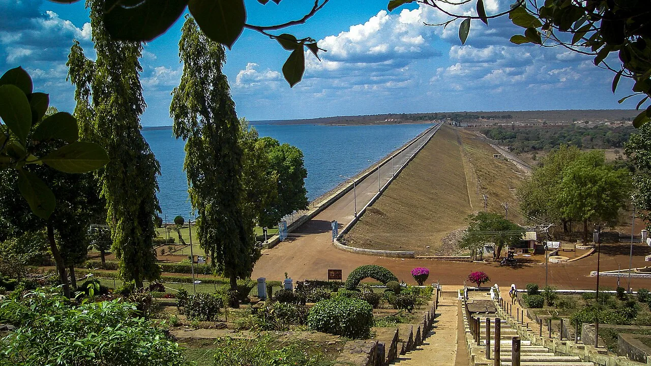
Gangrel Dam, officially named Pandit Ravishankar Sagar, is a major water project in Dhamtari district. Visitors are drawn to the reservoir and to Onakona, a tourist spot on its shore.

Tandula Dam

56 km away · Balod district

Tandula Dam

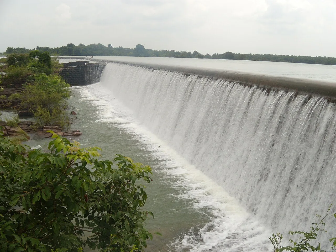
Tandula Dam, in Chhattisgarh’s Balod district, is a reservoir and water-supply project. Its river setting and role in serving nearby urban and industrial areas are points of interest.

Rajim

87 km away · Gariaband district

Rajim

Rajim is a town in Gariaband district, Chhattisgarh, India. People visit to spend time in the town and experience this part of the state.

Champaran

96 km away · Janjgir-Champa district

Champaran

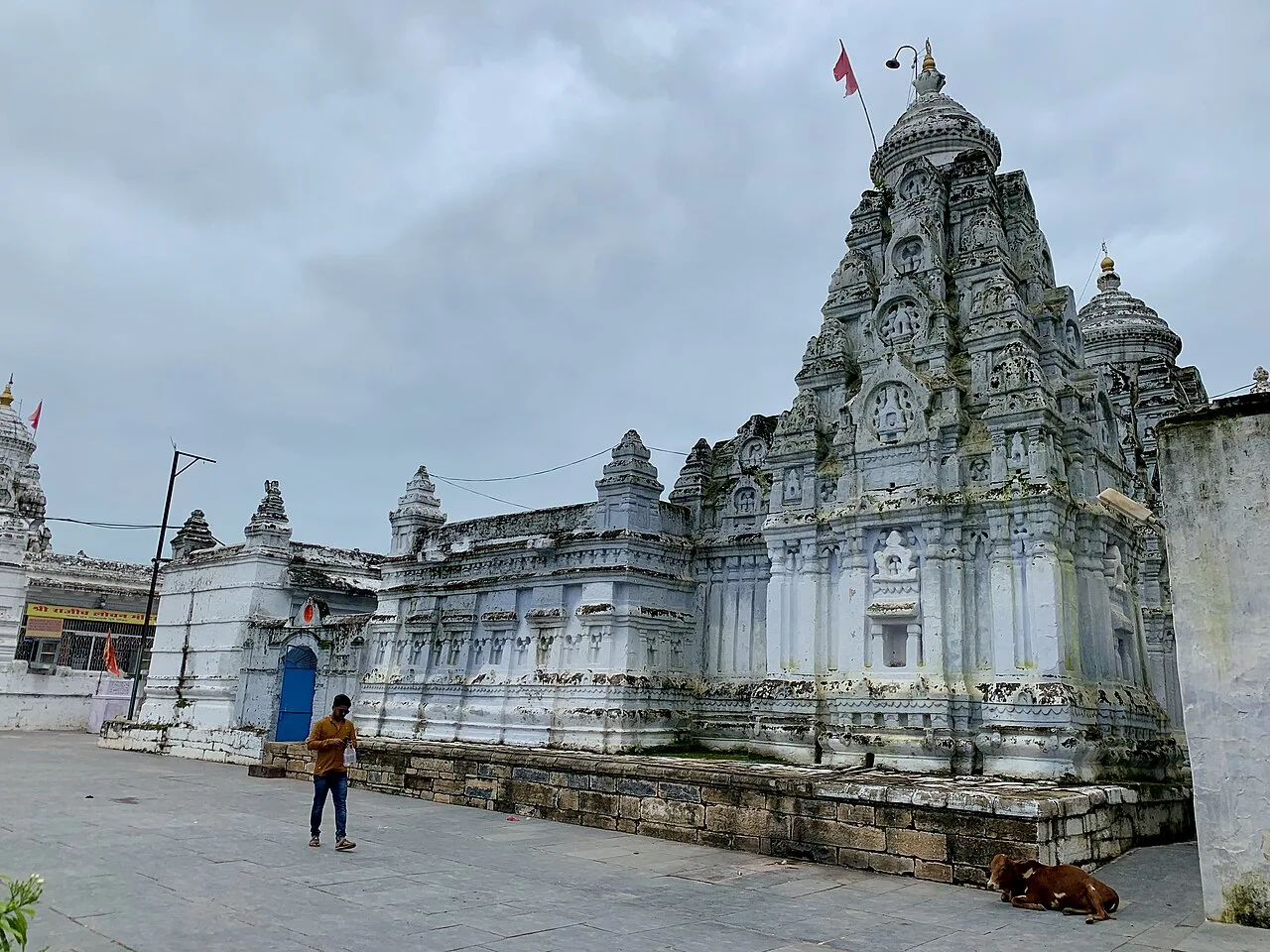
Champaran is a village in Chhattisgarh associated with Vallabhacharya, founder of the Vallabh sect. Visitors come to see temples and the two sites linked with his Chaurasi Bethak.

Purkhouti Muktangan

100 km away · Raipur district

Purkhouti Muktangan

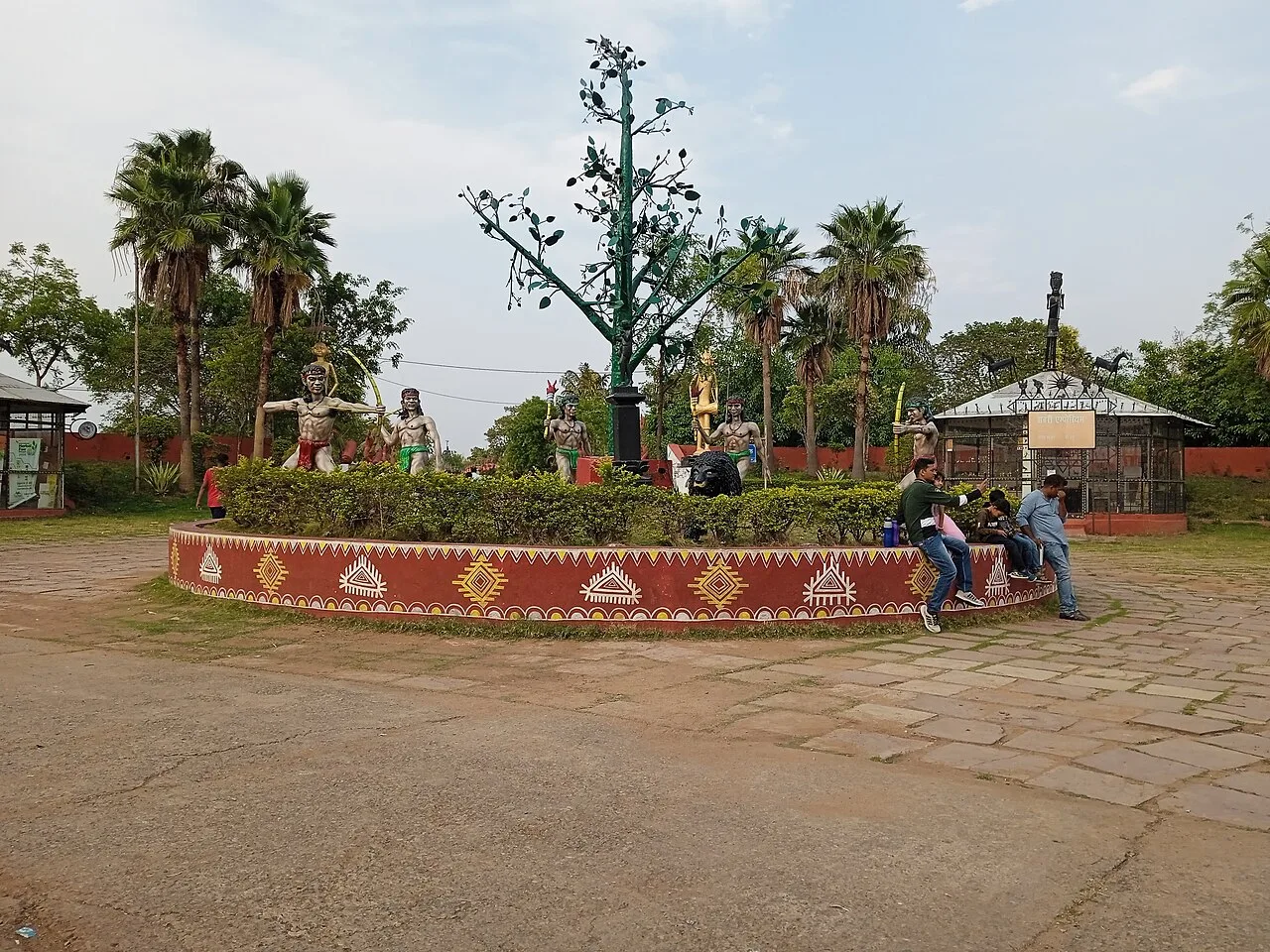
Purkhouti Muktangan is a 24.2-hectare cultural and sculpture park in Naya Raipur, where visitors can explore displays reflecting Chhattisgarh’s tribal communities and cultural life.

Maitri Bagh

101 km away · Durg district

Maitri Bagh

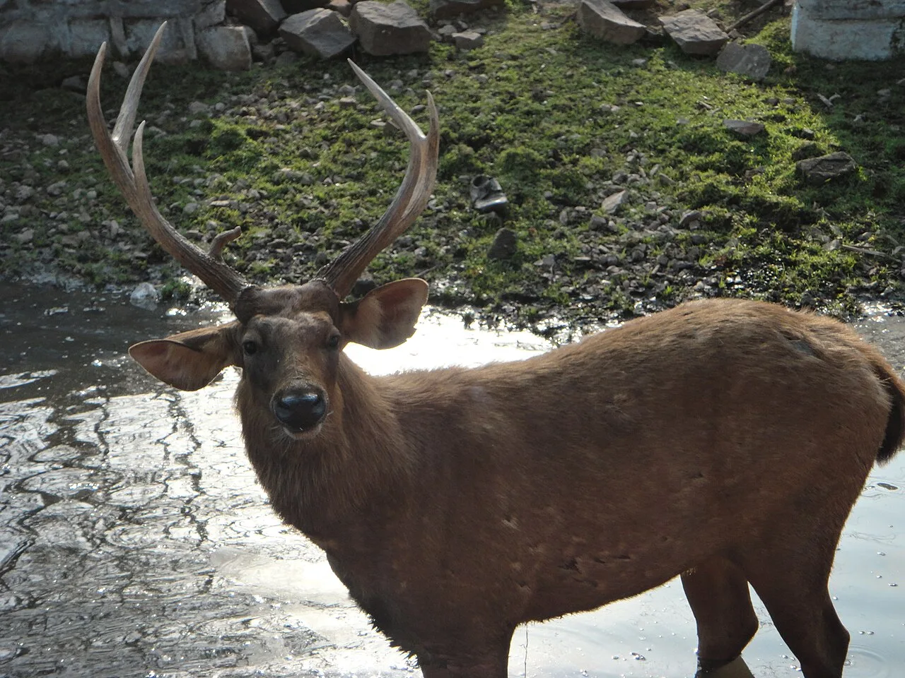
Maitri Bagh is a zoo and visitor attraction in Bhilai, Durg district, Chhattisgarh. People visit for its wildlife setting and its history as a symbol of India–Soviet friendship.

Nandan Van Zoo

112 km away · Raipur district

Nandan Van Zoo

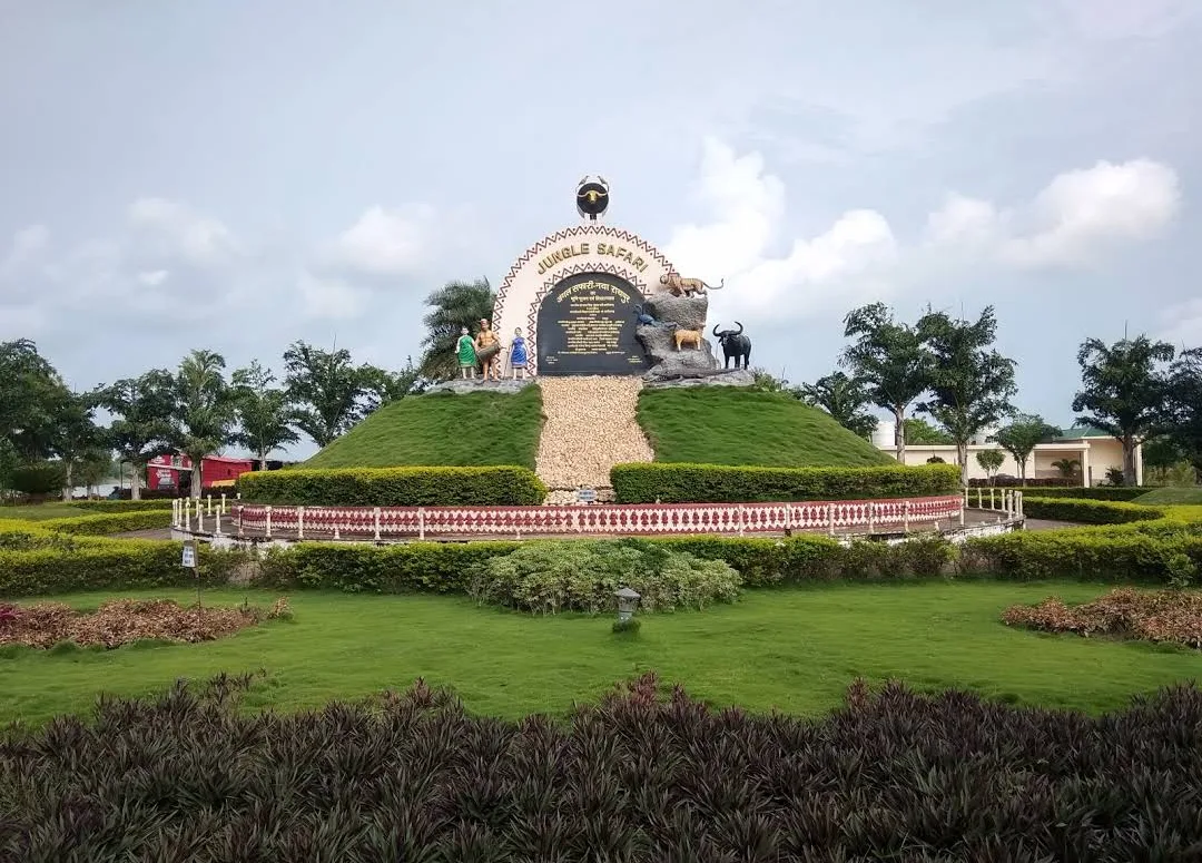
Nandan Van Zoo, also called Nandan Van Jungle Safari, is a visitor attraction in Raipur district, Chhattisgarh. People visit the 800-acre site beside the Kharun River.

Chitrakote Falls

120 km away · Bastar district

Chitrakote Falls

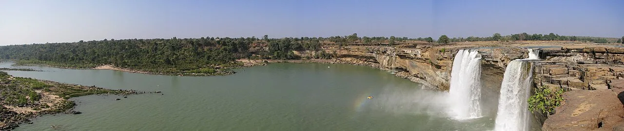
Chitrakote Falls is a waterfall on the Indravati River in Chhattisgarh, drawing visitors to see its broad monsoon flow and distinctive horseshoe form.

Map

Kanker on the map

  1. 1Gangrel Dam
  2. 2Tandula Dam
  3. 3Rajim
  4. 4Champaran
  5. 5Purkhouti Muktangan
  6. 6Maitri Bagh
  7. 7Nandan Van Zoo
  8. 8Chitrakote Falls

Chhattisgarh

Other cities to explore