Ghumoopedia — Explore, Discover, Experience
Sign in
Gangrel Dam, near Keskal

City guide · Chhattisgarh

Keskal

Keskal is a small town in Kondagaon district, set among the forested uplands of southern Chhattisgarh. Its position on National Highway 30 makes it a useful stop and local service centre on the route between Raipur, Kanker, Kondagaon and Jagdalpur.

Famous for

  • Keshkal Ghat
  • Keshkal Panchavati
  • Gobraien Shiva shrine
  • Rice and grain trade
  • Bauxite deposits

Why Keskal matters

Keskal is a small town in Kondagaon district, set among the forested uplands of southern Chhattisgarh. Its position on National Highway 30 makes it a useful stop and local service centre on the route between Raipur, Kanker, Kondagaon and Jagdalpur. The surrounding landscape and the nearby Keshkal Ghat are among the area’s main draws, while Keshkal Panchavati and the Shiva shrine at Gobraien offer quieter places to visit.

The town matters as a regional market as well as a gateway to the northern part of the Bastar region. Trade in rice, wheat, maize and forest produce such as mahua and tamarind connects nearby villages with its shops and markets. Bauxite deposits are another notable feature of the area, though they are not a visitor attraction in themselves. Keskal is not a large sightseeing centre; its appeal lies in combining a practical highway stop with access to local scenery, pilgrimage sites and the everyday life of a market town.
Famous for: crafts, trade & products

Keskal’s best-known commercial role is as a market for agricultural and forest produce from surrounding communities. Rice, wheat and maize are traded alongside mahua and tamarind. Visitors looking for these products can ask locally about the town’s general market areas; there is no single specialist shopping district to seek out. The trade reflects the close links between the town and the villages of the surrounding uplands.

The area also has substantial bauxite deposits, a significant geological resource, although visitors should not assume that these are accessible or presented as a tourist attraction. Rather than attributing products from elsewhere in Chhattisgarh to the town, travellers can look for everyday regional produce and ask sellers about its origin. Keshkal Panchavati and the Gobraien shrine are better-known local visitor sites than retail or craft institutions.

History

Keskal’s history is best understood through its role as a settlement and market in the wider Bastar region, rather than as a documented royal capital. The town’s position near the Keshkal Ghat and along an important north–south road helped connect upland communities with larger centres. Local accounts of particular rulers or the town’s growth during the colonial period are not well established, so specific dynastic or administrative claims should be treated cautiously.

In modern times, improved road connections have strengthened Keskal’s role as a service and trading centre for nearby villages. Its location on National Highway 30 links it with Kanker to the north and Kondagaon and Jagdalpur to the south. The area was formerly part of Madhya Pradesh and is now in Chhattisgarh; Keskal is currently within Kondagaon district. This administrative and transport setting, together with local produce trade, has shaped the town’s contemporary importance.

Food, festivals & culture

Daily life in Keskal reflects its links to both the market town and the surrounding rural communities. Rice is central to food traditions across Chhattisgarh, while maize and locally gathered produce also form part of the region’s food economy. Mahua and tamarind are familiar forest products. Travellers may find regional snacks and home-style meals in local eateries, but menus and specialities vary; no particular sweet or signature dish is uniquely associated with Keskal.

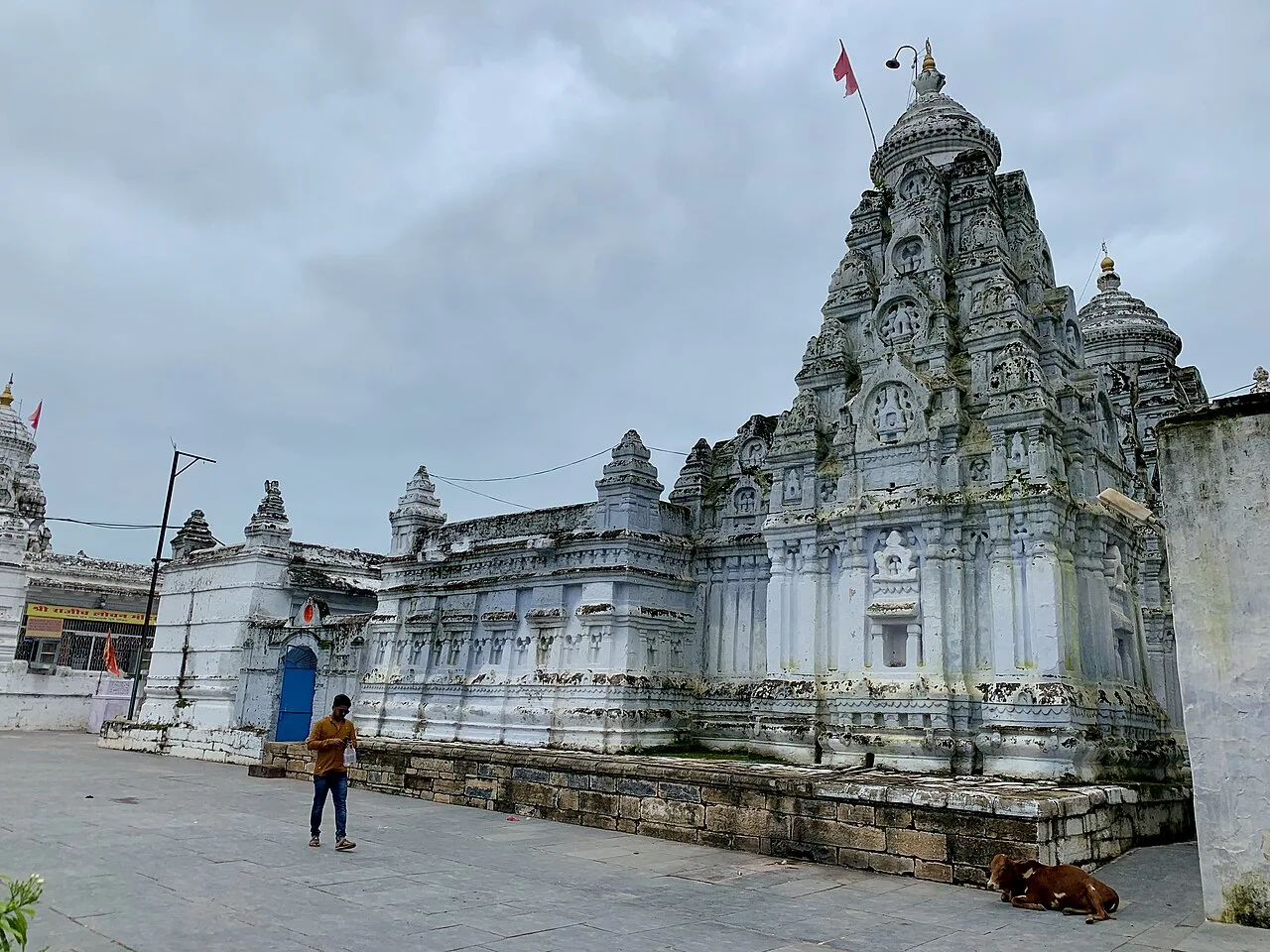
Hindi and Chhattisgarhi are useful languages for visitors, and Gondi and Halbi are also spoken in parts of the wider region. Hindu festivals such as Diwali and Holi are observed, while the broader Bastar region is known for its distinctive Dussehra season in the autumn. Local celebrations and community events may feature folk music and dance, though performances are not a daily tourist programme. The Shiva shrine at Gobraien is a local place of worship; Keshkal Panchavati is another recognised spot for visitors.

Visiting the city

The cooler, drier months from about October to March are generally the most comfortable time to explore Keskal and its surroundings. The nearest airport is Raipur Airport, roughly 167 km away by the stated distance; the nearest railway station is Jagdalpur. Road travel is the main way to reach and move around the town, with local buses and shared vehicles serving routes in the area. Confirm current connections locally before setting out.

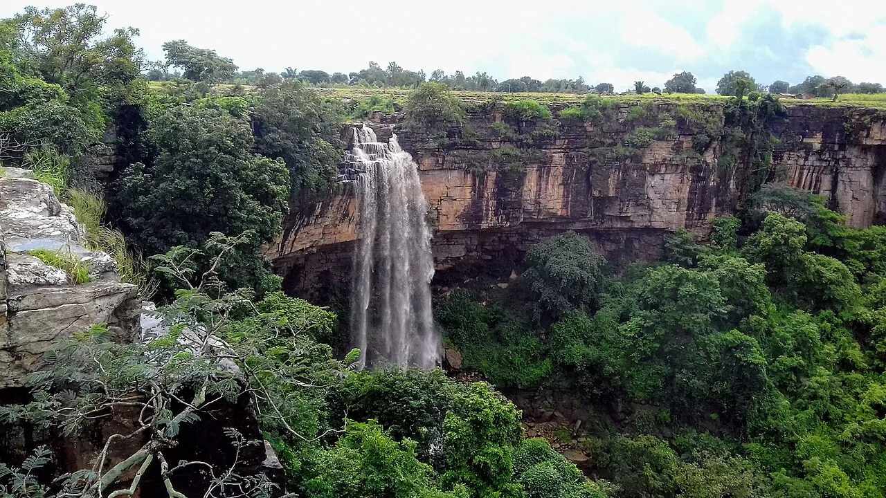
For a short visit, explore the town centre and bus-stand area, then make time for Keshkal Panchavati, about 2 km from the bus stand, and the Gobraien Shiva shrine. Keshkal Ghat is another nearby highlight, best appreciated as a scenic road and landscape stop. The town is a practical base for seeing these sites rather than a place with a large concentration of hotels or attractions.

Trips from the city

Nearest places to visit from Keskal

Our closest destination guides, by straight-line distance.

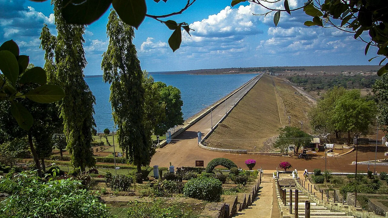
Gangrel Dam

60 km away · Dhamtari district

Gangrel Dam

Gangrel Dam, officially named Pandit Ravishankar Sagar, is a major water project in Dhamtari district. Visitors are drawn to the reservoir and to Onakona, a tourist spot on its shore.

Tandula Dam

79 km away · Balod district

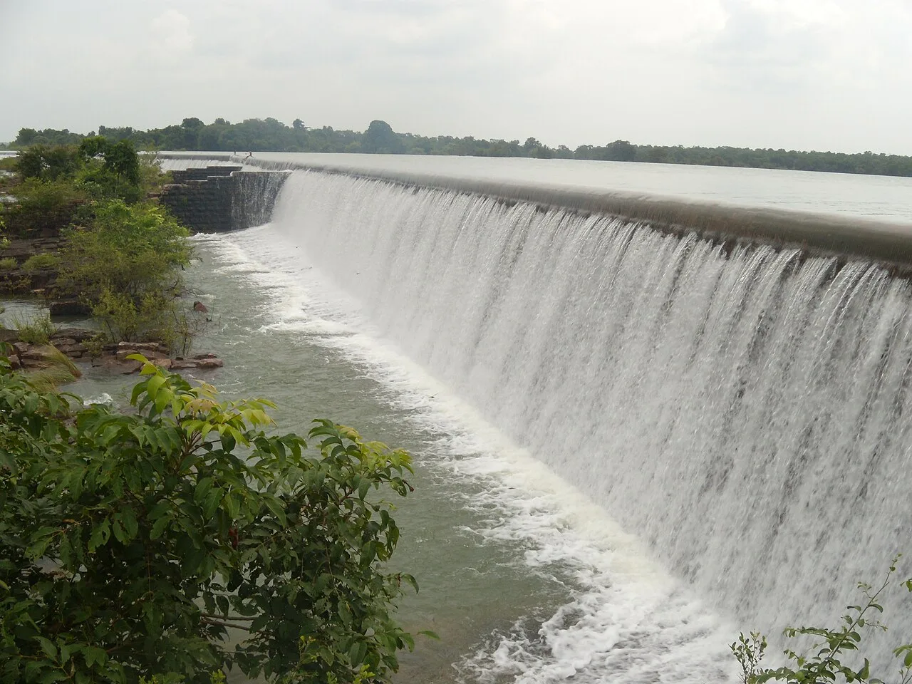
Tandula Dam

Tandula Dam, in Chhattisgarh’s Balod district, is a reservoir and water-supply project. Its river setting and role in serving nearby urban and industrial areas are points of interest.

Chitrakote Falls

98 km away · Bastar district

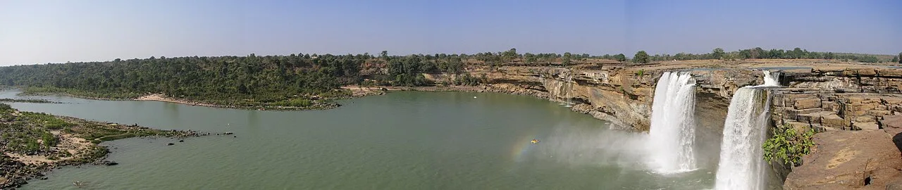
Chitrakote Falls

Chitrakote Falls is a waterfall on the Indravati River in Chhattisgarh, drawing visitors to see its broad monsoon flow and distinctive horseshoe form.

Mendri Ghumar

102 km away · Bastar district

Mendri Ghumar

Mendri Ghumar is a seasonal waterfall in Bastar district, Chhattisgarh, about 44 kilometres west of Jagdalpur. Visitors come to see the falls, which are near Chitrakote and Tamda Ghumar.

Rajim

103 km away · Gariaband district

Rajim

Rajim is a town in Gariaband district, Chhattisgarh, India. People visit to spend time in the town and experience this part of the state.

Champaran

112 km away · Janjgir-Champa district

Champaran

Champaran is a village in Chhattisgarh associated with Vallabhacharya, founder of the Vallabh sect. Visitors come to see temples and the two sites linked with his Chaurasi Bethak.

Purkhouti Muktangan

118 km away · Raipur district

Purkhouti Muktangan

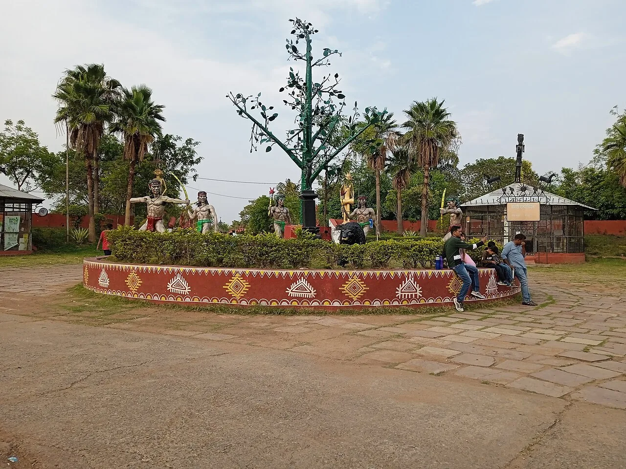
Purkhouti Muktangan is a 24.2-hectare cultural and sculpture park in Naya Raipur, where visitors can explore displays reflecting Chhattisgarh’s tribal communities and cultural life.

Maitri Bagh

123 km away · Durg district

Maitri Bagh

Maitri Bagh is a zoo and visitor attraction in Bhilai, Durg district, Chhattisgarh. People visit for its wildlife setting and its history as a symbol of India–Soviet friendship.

Map

Keskal on the map

  1. 1Gangrel Dam
  2. 2Tandula Dam
  3. 3Chitrakote Falls
  4. 4Mendri Ghumar
  5. 5Rajim
  6. 6Champaran
  7. 7Purkhouti Muktangan
  8. 8Maitri Bagh

Chhattisgarh

Other cities to explore