Ghumoopedia — Explore, Discover, Experience
Sign in

City guide · Chhattisgarh

Narayanpur

Narayanpur is the administrative headquarters of Narayanpur district in southern Chhattisgarh. Its importance comes from its role as a service and transport centre for a largely rural district, including communities in and around the forested Abujhmad region.

Famous for

  • Narayanpur district headquarters
  • Abujhmad forest region
  • Bastar tribal culture
  • Bastar Dhokra craft
  • Ramakrishna Mission Ashrama

Why Narayanpur matters

Narayanpur is the administrative headquarters of Narayanpur district in southern Chhattisgarh. Its importance comes from its role as a service and transport centre for a largely rural district, including communities in and around the forested Abujhmad region. Government offices, local shops and community institutions make it a practical stop for people travelling between district settlements and larger towns in Bastar.

For visitors, Narayanpur offers a quieter introduction to the region’s Indigenous cultures and craft traditions than the better-known centres of Bastar. The surrounding landscape, village markets and locally made metal, wood and other crafts are points of interest, though access to remote areas can be limited and conditions should be checked before setting out. The Ramakrishna Mission Ashrama is a notable local institution, known for its work with communities in the region. Narayanpur is best approached as a small regional centre and a possible base for carefully planned local visits, rather than as a destination with extensive tourist facilities.
Famous for: crafts, trade & products

Narayanpur is associated with the wider Bastar region’s craft traditions, especially Dhokra, a lost-wax metal-casting art used to make figures and household or decorative objects. Wrought-iron work, carved wood and terracotta are also found across Bastar. These crafts are made by artisans in different parts of the region, so the selection in Narayanpur can vary; ask locally about the maker and place of origin. Some Bastar craft traditions have geographical indication recognition, but that does not mean every item sold locally carries a GI label.

The town’s bazaar is the most practical place to look for everyday goods and locally produced items. For a wider craft selection, enquire about current artisan groups, exhibitions or district-supported outlets, as their availability and location may change. Narayanpur is not especially known for a major textile or saree industry, a large commercial market, or a signature packaged food product. Its identity is more closely connected to its role as a district centre and to the crafts and cultural life of the surrounding Bastar communities.

History

Narayanpur’s story is closely linked to the history and administration of Bastar. The wider region was part of the Bastar princely state, where local communities and successive rulers shaped political and cultural life. During the colonial period, Bastar remained a princely state under British paramountcy. After independence, the area became part of the Indian Union and was administered within the larger Bastar district.

Chhattisgarh became a separate state in 2000. Narayanpur district was formed in 2007 from the former Bastar district, and Narayanpur became its headquarters. This change strengthened the town’s role as a centre for district administration and public services. Its growth has therefore been tied less to large-scale industry than to government functions, local trade and services for settlements across a forested and often difficult-to-reach hinterland. The town’s modern character reflects both its administrative role and its close connections with the communities of Bastar.

Food, festivals & culture

Daily food draws on familiar Chhattisgarhi staples: rice, pulses, leafy vegetables and seasonal produce. Simple rice preparations and millet dishes may be found alongside snacks such as chila or fara. Dehrori, a rice-based sweet, is known in Chhattisgarh, though menus and availability vary in Narayanpur. Forest produce is part of the wider regional food economy, but what is eaten or sold changes with the season and community.

Bastar Dussehra is the region’s best-known festival, observed over an extended period from the monsoon season into autumn; its ceremonies are rooted in local traditions and differ from the familiar story of Rama’s victory. Madai festivals and Hindu occasions such as Holi and Diwali are also observed in the wider region. Gondi, Halbi, Chhattisgarhi and Hindi are used locally, with usage varying by community. Festival music often features drums and community dance; Gaur dance is among the forms associated with Bastar. Temples, village shrines and the Ramakrishna Mission Ashrama are part of the area’s religious and community life.

Visiting the city

The cooler, drier months, roughly October to March, are generally the most comfortable for a visit. The nearest airport is Maa Danteshwari Airport at Jagdalpur; Swami Vivekananda Airport in Raipur is a more connected alternative but farther away. Jagdalpur railway station is a principal railhead used for journeys to the region. From either hub, onward travel is by road, with local taxis and buses serving routes from Narayanpur; confirm current connections before travelling.

In town, explore the central bazaar and the area around the district offices and Ramakrishna Mission Ashrama. Ask locally about any current craft sellers or events. Roads into remote parts of the district can be challenging, and access to Abujhmad may be restricted or affected by changing local conditions. Check current travel guidance and arrange local advice before planning trips beyond town.

Trips from the city

Nearest places to visit from Narayanpur

Our closest destination guides, by straight-line distance.

Chitrakote Falls

74 km away · Bastar district

Chitrakote Falls

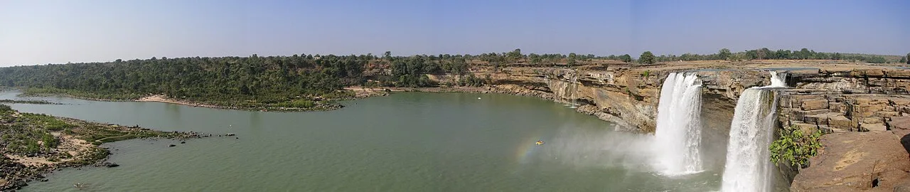
Chitrakote Falls is a waterfall on the Indravati River in Chhattisgarh, drawing visitors to see its broad monsoon flow and distinctive horseshoe form.

Mendri Ghumar

76 km away · Bastar district

Mendri Ghumar

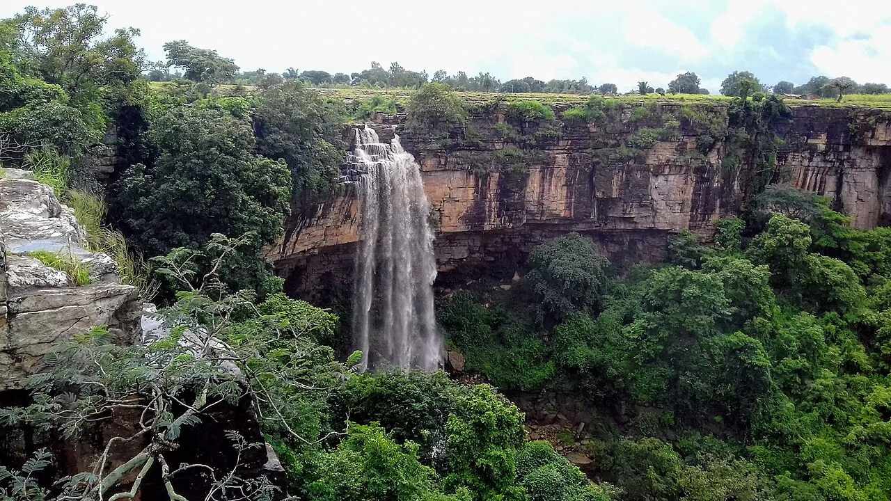
Mendri Ghumar is a seasonal waterfall in Bastar district, Chhattisgarh, about 44 kilometres west of Jagdalpur. Visitors come to see the falls, which are near Chitrakote and Tamda Ghumar.

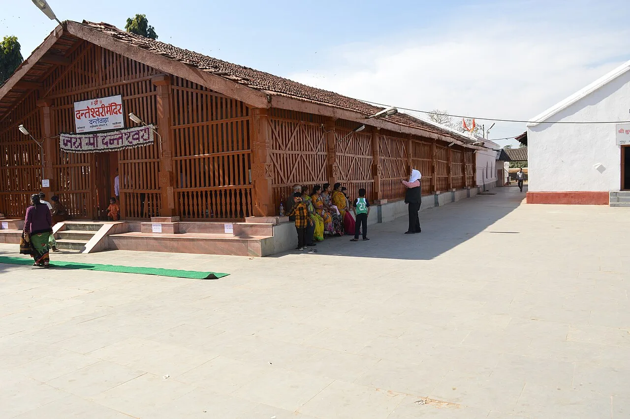
Danteshwari Temple

92 km away · Dantewada district

Danteshwari Temple

Danteshwari Temple is a Hindu shrine in Dantewada, Chhattisgarh, associated with the goddess regarded as Bastar’s family deity. People visit to worship and take part in Dussehra and Navaratri observances.

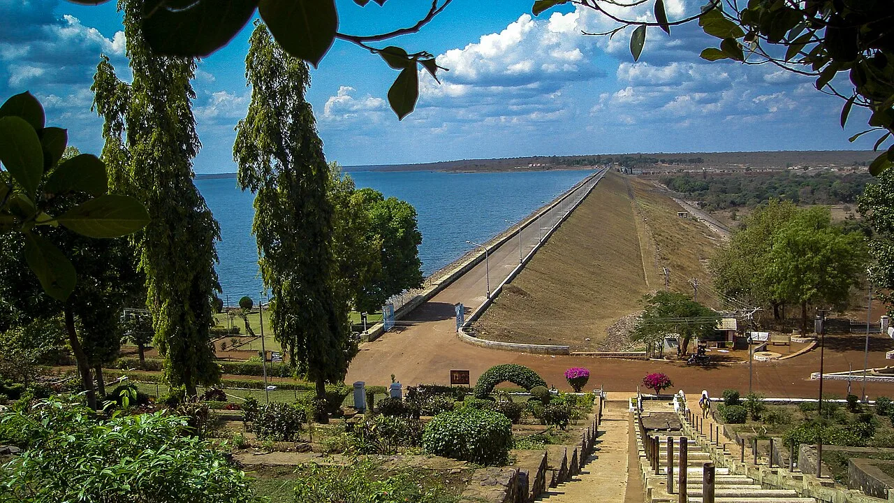
Gangrel Dam

106 km away · Dhamtari district

Gangrel Dam

Gangrel Dam, officially named Pandit Ravishankar Sagar, is a major water project in Dhamtari district. Visitors are drawn to the reservoir and to Onakona, a tourist spot on its shore.

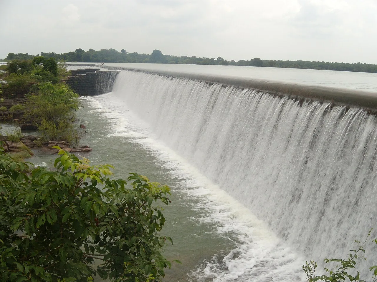
Tandula Dam

110 km away · Balod district

Tandula Dam

Tandula Dam, in Chhattisgarh’s Balod district, is a reservoir and water-supply project. Its river setting and role in serving nearby urban and industrial areas are points of interest.

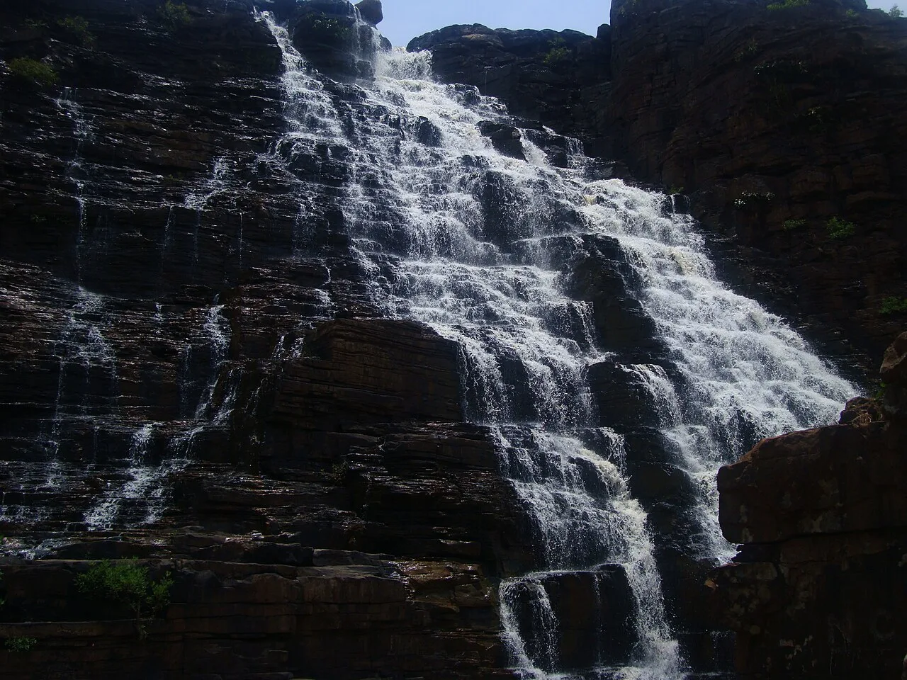
Teerathgarh Falls

111 km away · Bastar district

Teerathgarh Falls

Teerathgarh Falls is a waterfall in Bastar district, Chhattisgarh, about 35 kilometres from Jagdalpur. Visitors come to see water descend beside a hillside shaped by natural rock.

Kotumsar Cave

119 km away · Bastar district

Kotumsar Cave

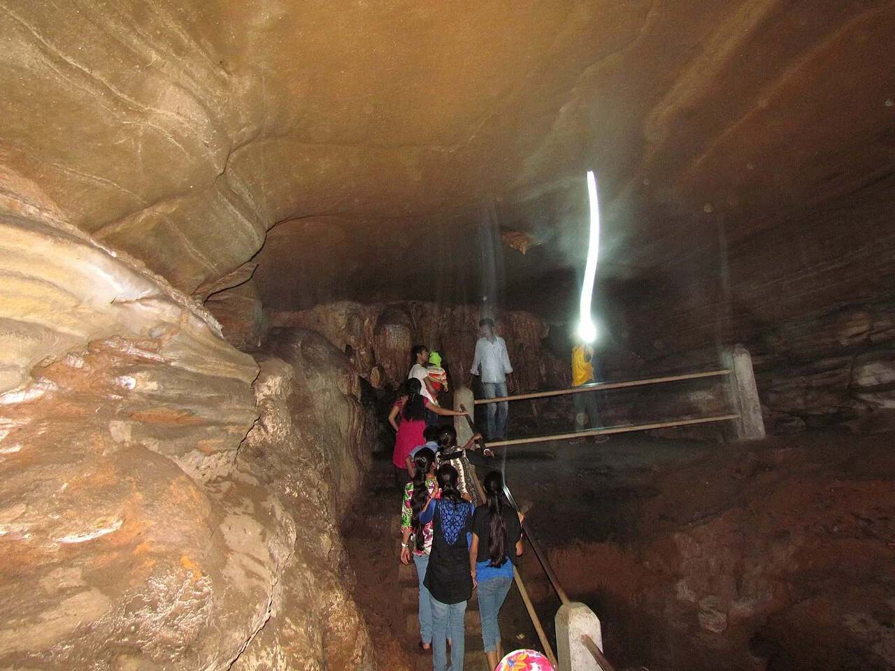
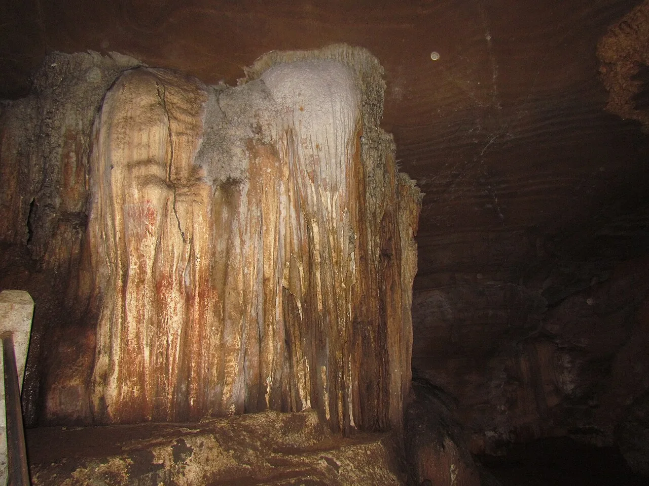
In Bastar district near Jagdalpur, Chhattisgarh, Kotumsar Cave is a limestone cave in the Kanger belt. It draws visitors interested in ecotourism and the cave’s natural setting.

Kanger Valley National Park

131 km away · Bastar district

Kanger Valley National Park

In Bastar, Chhattisgarh, Kanger Valley is a protected natural area visited for its wildlife, waterfalls and limestone caves, set within a landscape of varied landforms.

Map

Narayanpur on the map

  1. 1Chitrakote Falls
  2. 2Mendri Ghumar
  3. 3Danteshwari Temple
  4. 4Gangrel Dam
  5. 5Tandula Dam
  6. 6Teerathgarh Falls
  7. 7Kotumsar Cave
  8. 8Kanger Valley National Park

Chhattisgarh

Other cities to explore