Ghumoopedia — Explore, Discover, Experience
Sign in

City guide · Chhattisgarh

Umerkote

Umerkote, also written Umarkot or Amarkot, is a town in Nabarangpur district in southern Odisha, close to the Chhattisgarh border. It is not in Chhattisgarh, though its borderland position connects it with communities and trade routes on both sides of the state line.

Famous for

  • Maa Pendrani devotion
  • Northern Nabarangpur trade
  • Odisha–Chhattisgarh borderland
  • Regional market town

Why Umerkote matters

Umerkote, also written Umarkot or Amarkot, is a town in Nabarangpur district in southern Odisha, close to the Chhattisgarh border. It is not in Chhattisgarh, though its borderland position connects it with communities and trade routes on both sides of the state line. Set in the northern part of the district, Umerkote serves as a commercial and administrative centre for nearby settlements and is about 62 km from Nabarangpur district headquarters.

Visitors are drawn principally by local religious life and the town’s role as a gateway to the surrounding countryside. Maa Pendrani, also called Pendrahandiani, is a cherished local deity whose protection and blessings are important to many residents. The town’s markets offer a glimpse of everyday life in this part of Odisha, while its location makes it a useful stop for people travelling between Nabarangpur district and southern Chhattisgarh. Umerkote became a municipality in 2014 and a subdivision headquarters in 2015, reflecting its growing importance in the region.
Famous for: crafts, trade & products

Umerkote is best known locally as a centre for everyday commerce rather than as a specialised textile or craft-producing city. Its market serves residents of the town and surrounding settlements, with shops supplying household goods and other regular necessities. Produce and goods from the wider rural area also move through local trade, although the town is not especially associated with a widely recognised signature product.

There is no well-established Umerkote-specific GI-tagged product or nationally prominent craft that defines the town. Travellers looking for locally made goods can browse the central market and ask shopkeepers about products from nearby villages; availability varies. For a sense of the town’s local identity, the Maa Pendrani place of worship and its surrounding area are more distinctive than a dedicated craft district or visitor shopping street. Umerkote’s importance lies chiefly in its role as a service and business hub for northern Nabarangpur, linking rural communities with a larger market and with routes toward Chhattisgarh.

History

Umerkote’s history is part of the wider story of the Nabarangpur region, an area shaped by regional kingdoms and later princely administration. The wider region was historically associated with the Jeypore kingdom; during British rule, Jeypore was administered as a princely state rather than as a directly governed British district. Town-specific accounts of Umerkote’s early rulers and colonial-era development are limited, so it is best understood through this broader regional setting and its long-standing role as a local settlement and trading centre.

After independence, the area became part of Odisha’s modern district administration. Nabarangpur district was formed in 1992, giving the town a place within a more locally focused administrative structure. Umerkote’s recent development has been marked by its growing municipal and administrative responsibilities: it was declared a municipality in 2014, after previously being a Notified Area Council, and became a subdivision in 2015. Its border location and market function continue to shape its modern role.

Food, festivals & culture

Maa Pendrani, also known as Pendrahandiani, is a central figure in local religious life. Devotees regard her as a protective mother and seek blessings for health, prosperity and safety. The town’s temples and places of worship are part of daily community life, alongside festivals observed across Odisha. Rath Yatra usually falls in June or July, while Durga Puja and Diwali are celebrated in the autumn. Nuakhai, the harvest festival observed in late summer or early autumn, is especially meaningful across western and southern Odisha, though local customs differ between communities.

Rice is a staple, and meals in the region may include seasonal vegetables, leafy greens and millet-based foods. Odia is widely used, with Hindi and regional speech forms also heard; the area’s communities bring additional linguistic and cultural traditions. Music and dance vary across the district, and Dhemsa is associated with tribal communities in southern Odisha. Festival dates and practices can vary from year to year and from one neighbourhood to another, so visitors can ask locally about events during their stay.

Visiting the city

The cooler, drier months from October to February are generally the most comfortable for a visit. Umerkote has no railway station in town; Jagdalpur and Jeypore are possible rail access points, so check current routes and onward road connections before travelling. The nearest airport is generally taken to be Jagdalpur Airport in Chhattisgarh, though flight options may be limited; Raipur offers a wider choice of connections farther away.

Road travel is the main way to reach Umerkote. A route from the Papadahandi area connects the town with the wider highway network and journeys toward Raipur. Within town, local taxis and auto-rickshaws are useful for short trips. Explore the central market for everyday commerce and visit the Maa Pendrani place of worship to learn about local devotion. The town also makes a practical base for visiting nearby settlements, subject to local transport availability.

Trips from the city

Nearest places to visit from Umerkote

Our closest destination guides, by straight-line distance.

Chitrakote Falls

74 km away · Bastar district

Chitrakote Falls

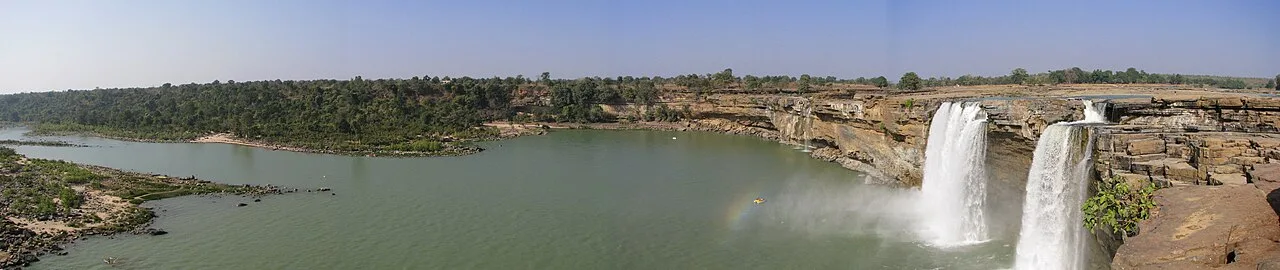
Chitrakote Falls is a waterfall on the Indravati River in Chhattisgarh, drawing visitors to see its broad monsoon flow and distinctive horseshoe form.

Mendri Ghumar

80 km away · Bastar district

Mendri Ghumar

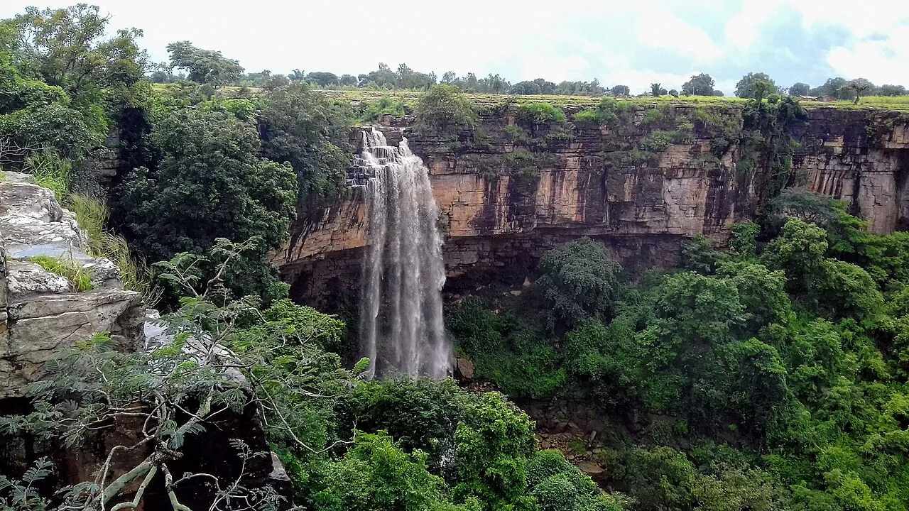
Mendri Ghumar is a seasonal waterfall in Bastar district, Chhattisgarh, about 44 kilometres west of Jagdalpur. Visitors come to see the falls, which are near Chitrakote and Tamda Ghumar.

Teerathgarh Falls

91 km away · Bastar district

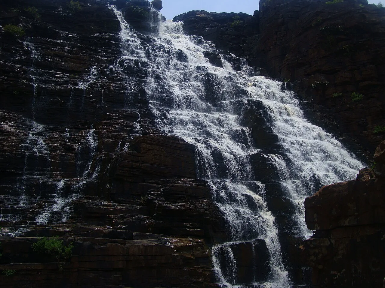
Teerathgarh Falls

Teerathgarh Falls is a waterfall in Bastar district, Chhattisgarh, about 35 kilometres from Jagdalpur. Visitors come to see water descend beside a hillside shaped by natural rock.

Kotumsar Cave

93 km away · Bastar district

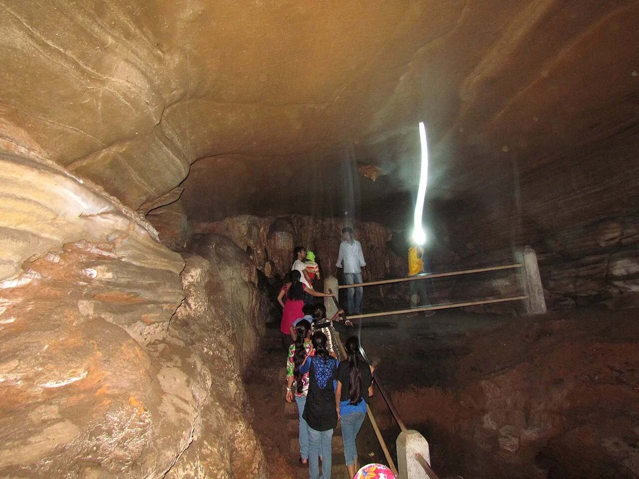
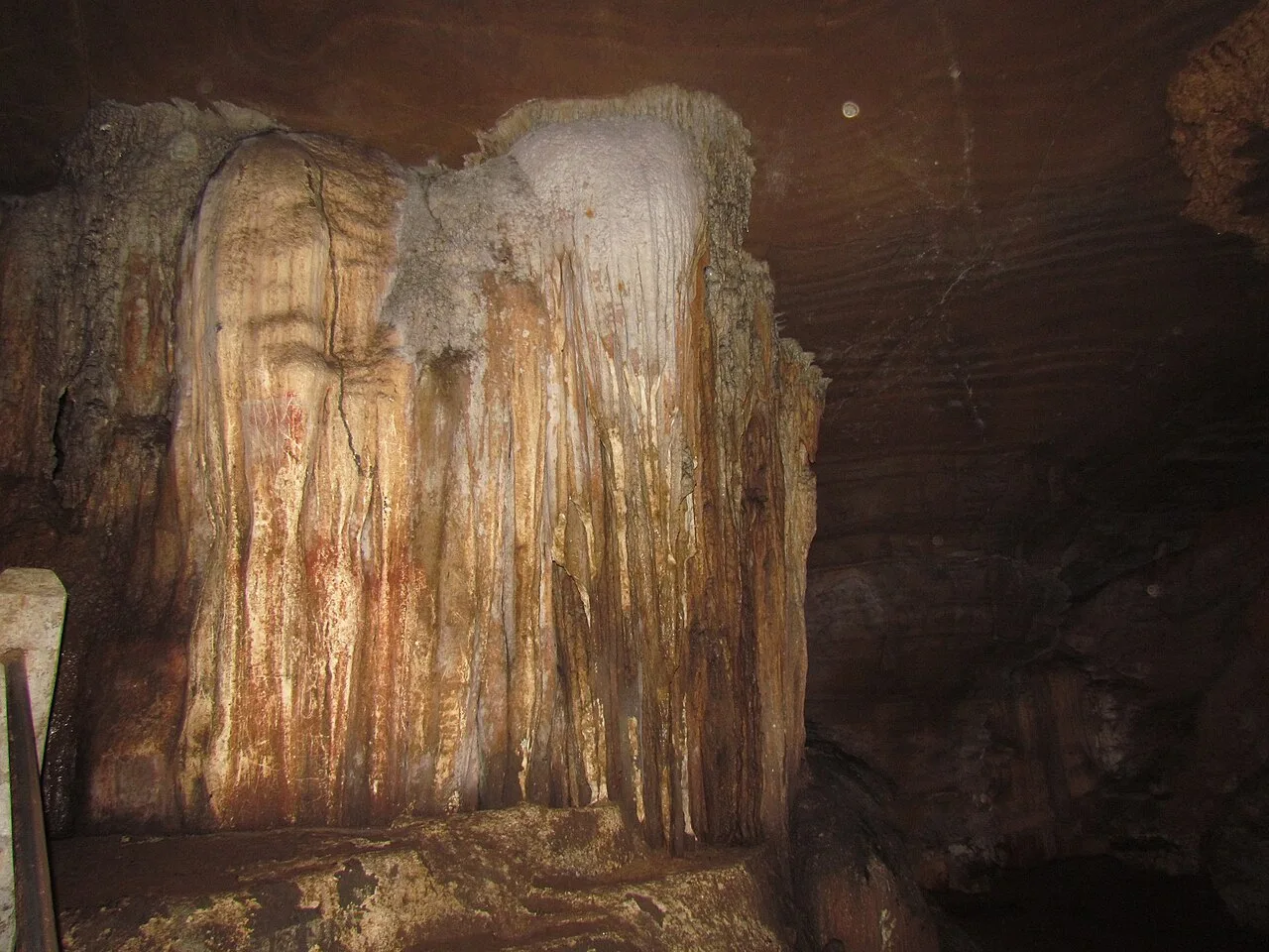
Kotumsar Cave

In Bastar district near Jagdalpur, Chhattisgarh, Kotumsar Cave is a limestone cave in the Kanger belt. It draws visitors interested in ecotourism and the cave’s natural setting.

Kanger Valley National Park

103 km away · Bastar district

Kanger Valley National Park

In Bastar, Chhattisgarh, Kanger Valley is a protected natural area visited for its wildlife, waterfalls and limestone caves, set within a landscape of varied landforms.

Danteshwari Temple

124 km away · Dantewada district

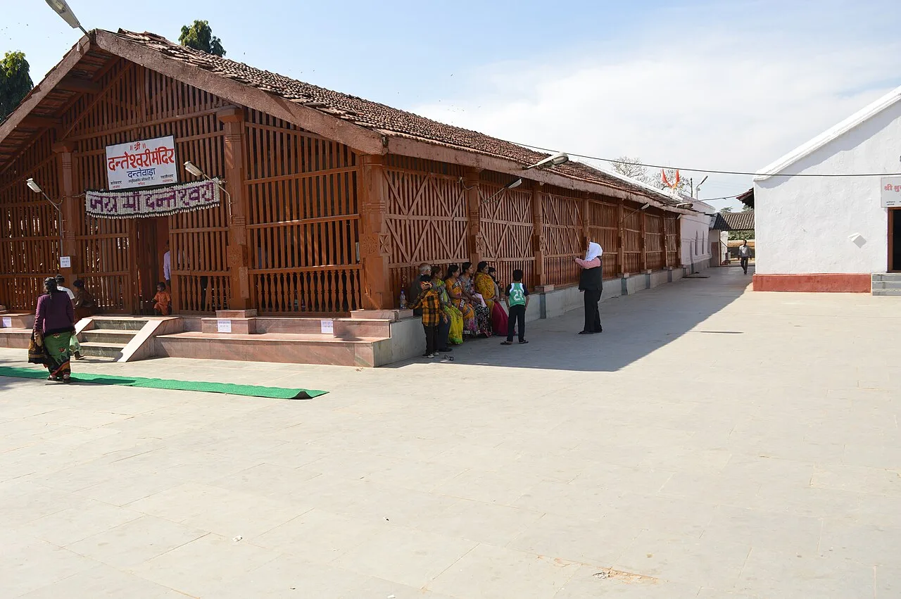
Danteshwari Temple

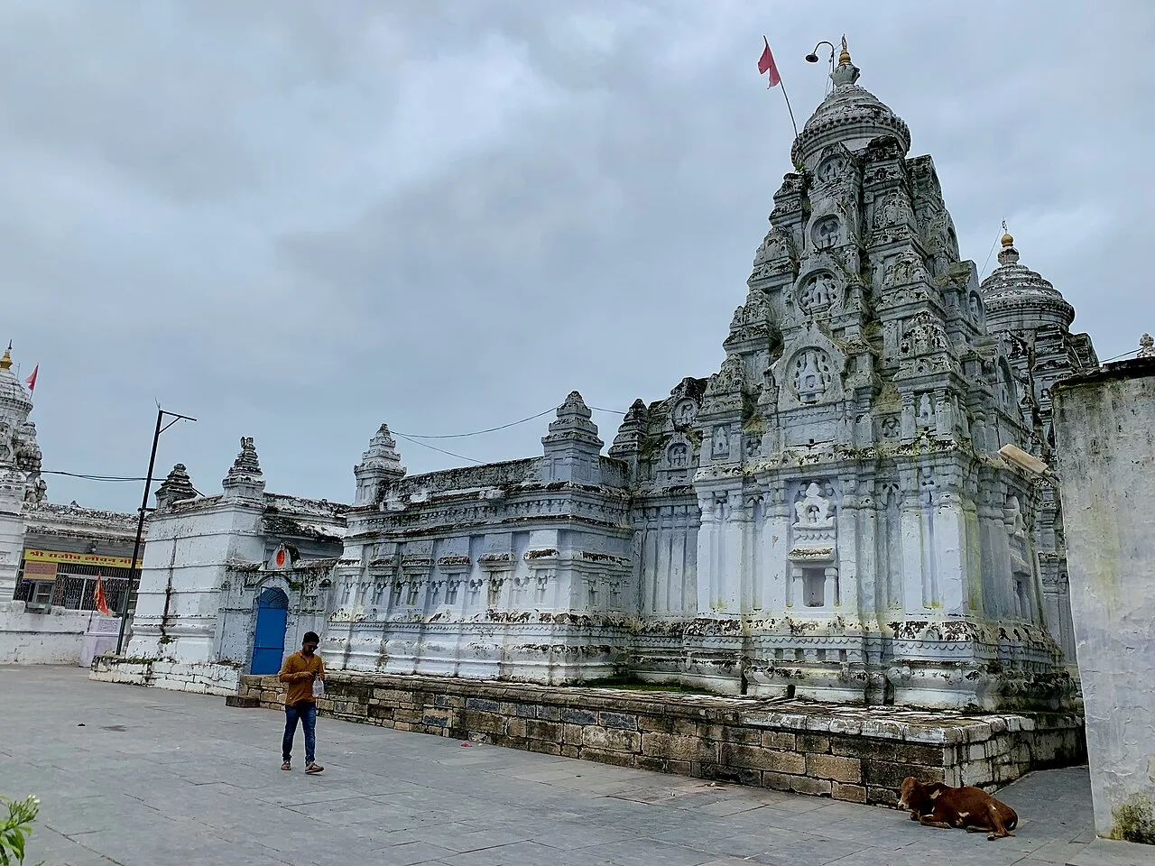
Danteshwari Temple is a Hindu shrine in Dantewada, Chhattisgarh, associated with the goddess regarded as Bastar’s family deity. People visit to worship and take part in Dussehra and Navaratri observances.

Gangrel Dam

126 km away · Dhamtari district

Gangrel Dam

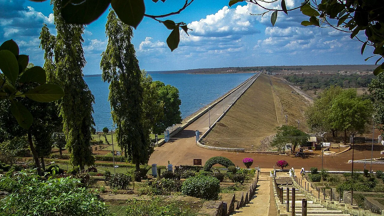
Gangrel Dam, officially named Pandit Ravishankar Sagar, is a major water project in Dhamtari district. Visitors are drawn to the reservoir and to Onakona, a tourist spot on its shore.

Rajim

148 km away · Gariaband district

Rajim

Rajim is a town in Gariaband district, Chhattisgarh, India. People visit to spend time in the town and experience this part of the state.

Map

Umerkote on the map

  1. 1Chitrakote Falls
  2. 2Mendri Ghumar
  3. 3Teerathgarh Falls
  4. 4Kotumsar Cave
  5. 5Kanger Valley National Park
  6. 6Danteshwari Temple
  7. 7Gangrel Dam
  8. 8Rajim

Chhattisgarh

Other cities to explore