Ghumoopedia — Explore, Discover, Experience
Sign in
Chaiturgarh, near Katghora

City guide · Chhattisgarh

Katghora

Katghora is a municipal town in Korba district, serving as a road-linked centre between the district’s urban and industrial areas and destinations farther north. National Highway 130 connects it with Bilaspur and Ambikapur, while state highways lead towards Korba and towards Pendra and Amarkantak.

Famous for

  • Radhasagar Lake
  • Hanumangarhi hill
  • NH 130 road connections
  • Katghora Krishi Vigyan Kendra
  • Planned industrial rail links

Why Katghora matters

Katghora is a municipal town in Korba district, serving as a road-linked centre between the district’s urban and industrial areas and destinations farther north. National Highway 130 connects it with Bilaspur and Ambikapur, while state highways lead towards Korba and towards Pendra and Amarkantak. This position makes Katghora useful to local residents, traders and travellers moving through northern Chhattisgarh, even though it is not a large tourist hub.

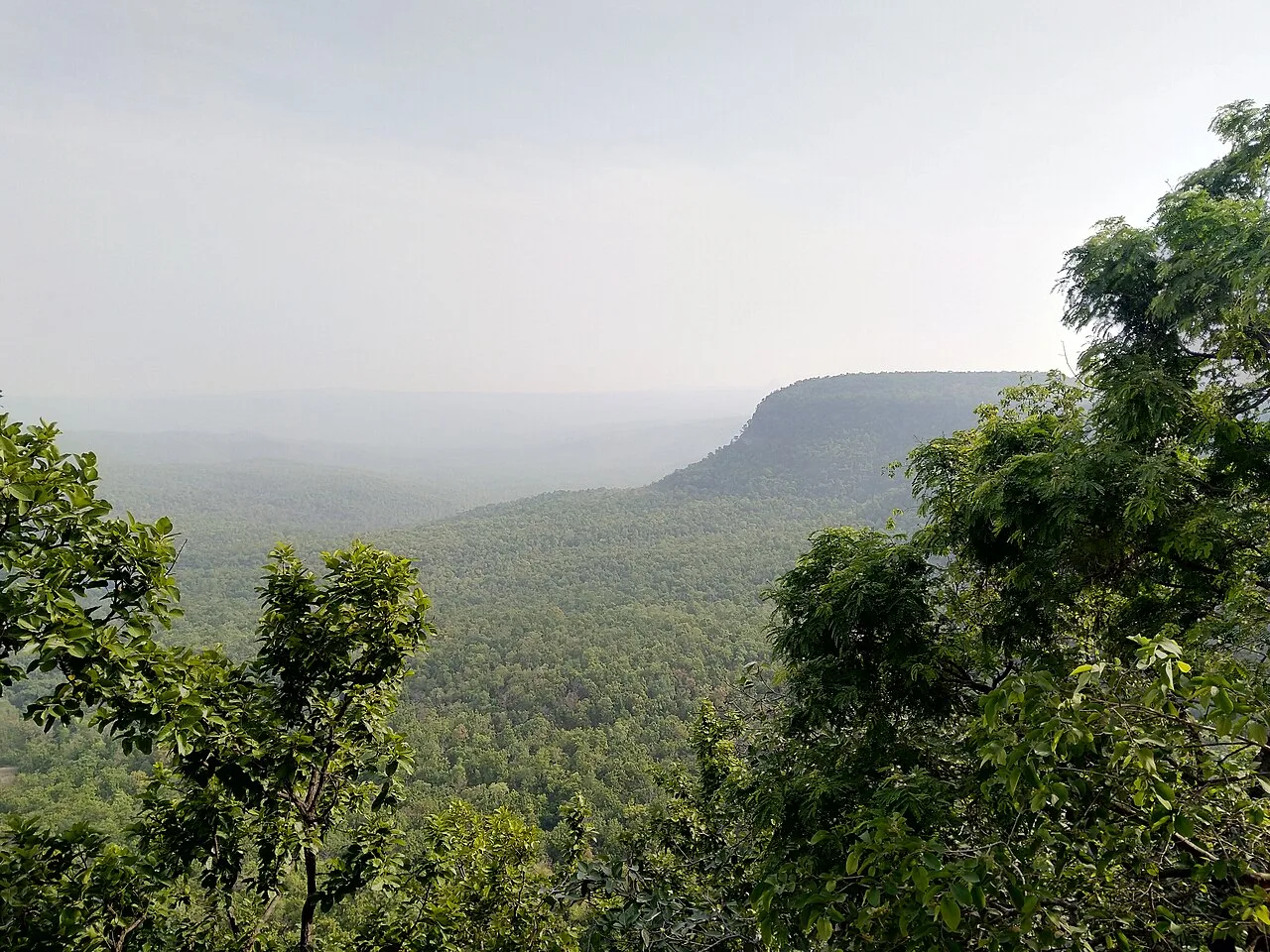
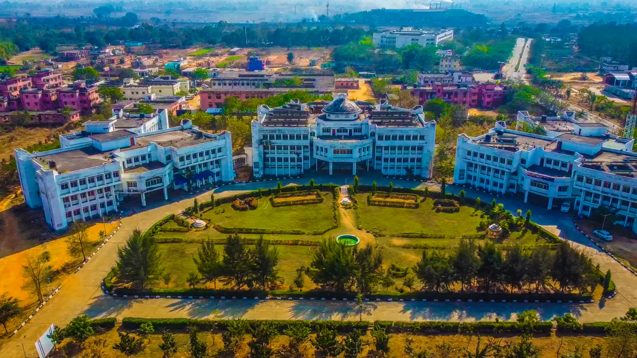
The town’s modest attractions include Radhasagar Lake in the centre and Chak-Chakwa hill, also called Hanumangarhi, which overlooks the settlement. The Katghora Krishi Vigyan Kendra adds an agricultural and educational role, supporting farming in the surrounding area. Visitors generally come for local business, regional travel or a brief stop rather than a long sightseeing itinerary. Planned industrial rail corridors could strengthen Katghora’s transport role, but road travel remains central to reaching the town today.
Famous for: crafts, trade & products

Katghora is not particularly known for a signature textile, saree, handicraft or GI-tagged product. Its commercial life is more practical and regional: local shops and market streets serve residents and people from nearby settlements with everyday goods, groceries, clothing and farm-related supplies. Visitors looking for local produce can ask traders in the town market what is in season, though offerings vary and there is no single speciality product to seek out.

Agriculture is part of the surrounding economy, and the Katghora Krishi Vigyan Kendra is a notable local institution focused on agricultural knowledge and extension. It is not a conventional visitor attraction or retail outlet; access to its activities may depend on programmes and institutional arrangements. The wider Korba district is strongly associated with coal and power production, but these industries should not be mistaken for a distinctive Katghora-made product or a visitor-facing industrial market. For crafts and regional foods, town shops and eateries are the most convenient places to look, while specialist shopping is better sought in larger centres such as Bilaspur.

History

Katghora’s local identity is chiefly that of a settlement and service centre on routes linking Korba with Bilaspur and northern Chhattisgarh. It is not widely associated with a single royal capital or a prominent ruling dynasty, and a detailed town-by-town account of its early history is limited. The surrounding region has a much longer history as part of central India, but broad regional histories do not by themselves establish specific events or rulers for Katghora.

During the colonial period, the wider area was governed within the administrative framework of central India. In modern times, improved road links and the growth of nearby Korba’s industrial economy increased the importance of towns serving the district and its hinterland. Katghora developed as a municipal and market centre, with agriculture-related services represented by its Krishi Vigyan Kendra. Proposed industrial rail corridors linking Katghora with Korba, Pendra Road and other points may bring further change; their completion would mark a new phase in the town’s connectivity.

Food, festivals & culture

Everyday food reflects the wider Chhattisgarhi table, where rice is a staple and simple meals may include lentils, seasonal vegetables and local greens. Chila, fara and rice-based snacks are familiar regional foods; dehrori is among the sweets found in Chhattisgarh. Availability varies, so small restaurants and local eateries are the best places to ask what is freshly prepared rather than expect a dedicated food district.

Hindi and Chhattisgarhi are widely used in daily life. Festivals observed across the region include Hareli during the monsoon, along with Teeja, Pola, Navakhai, Diwali and Holi; dates follow the local religious calendar. Community celebrations may feature devotional singing and regional dance traditions such as Panthi, Raut Nacha, Sua or Karma, though performances are event-based rather than a daily attraction. Hanumangarhi on Chak-Chakwa hill is a local place of worship, while neighbourhood shrines and temples serve residents throughout the town.

Visiting the city

The cooler, drier months from about October to March are generally the most comfortable for exploring Katghora; monsoon travel can bring rain and slower road journeys. The nearest practical railway station is Korba railway station, while Bilaspur Junction offers a larger rail connection. The nearest airport is Bilasa Devi Kevat Airport at Bilaspur; travellers should check current flight availability before planning around it.

Katghora is easiest to reach by road, including via NH 130. Local taxis and auto-rickshaws can help with short trips, while walking works for parts of the town centre. Start around Radhasagar Lake, then visit Chak-Chakwa hill and Hanumangarhi. The market area offers a glimpse of everyday town life. There is no established tourist district, so allow extra time if visiting the agricultural institution or travelling beyond town.

Trips from the city

Nearest places to visit from Katghora

Our closest destination guides, by straight-line distance.

Chaiturgarh

28 km away · Korba district

Chaiturgarh

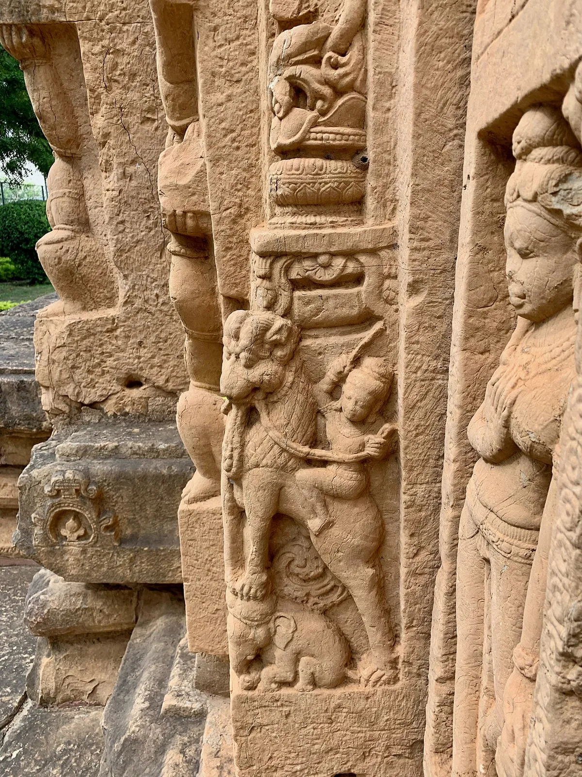
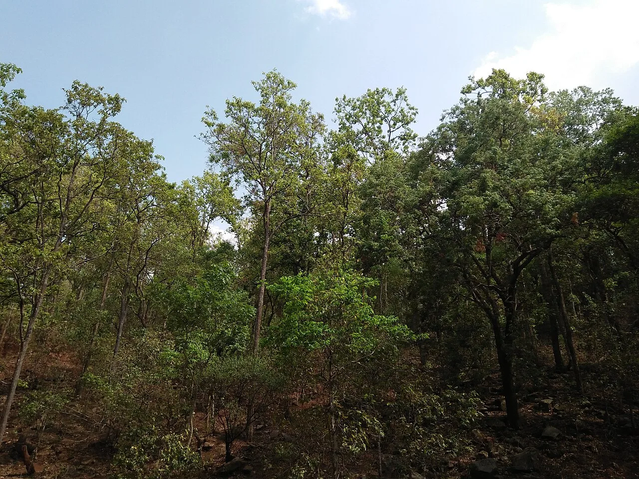
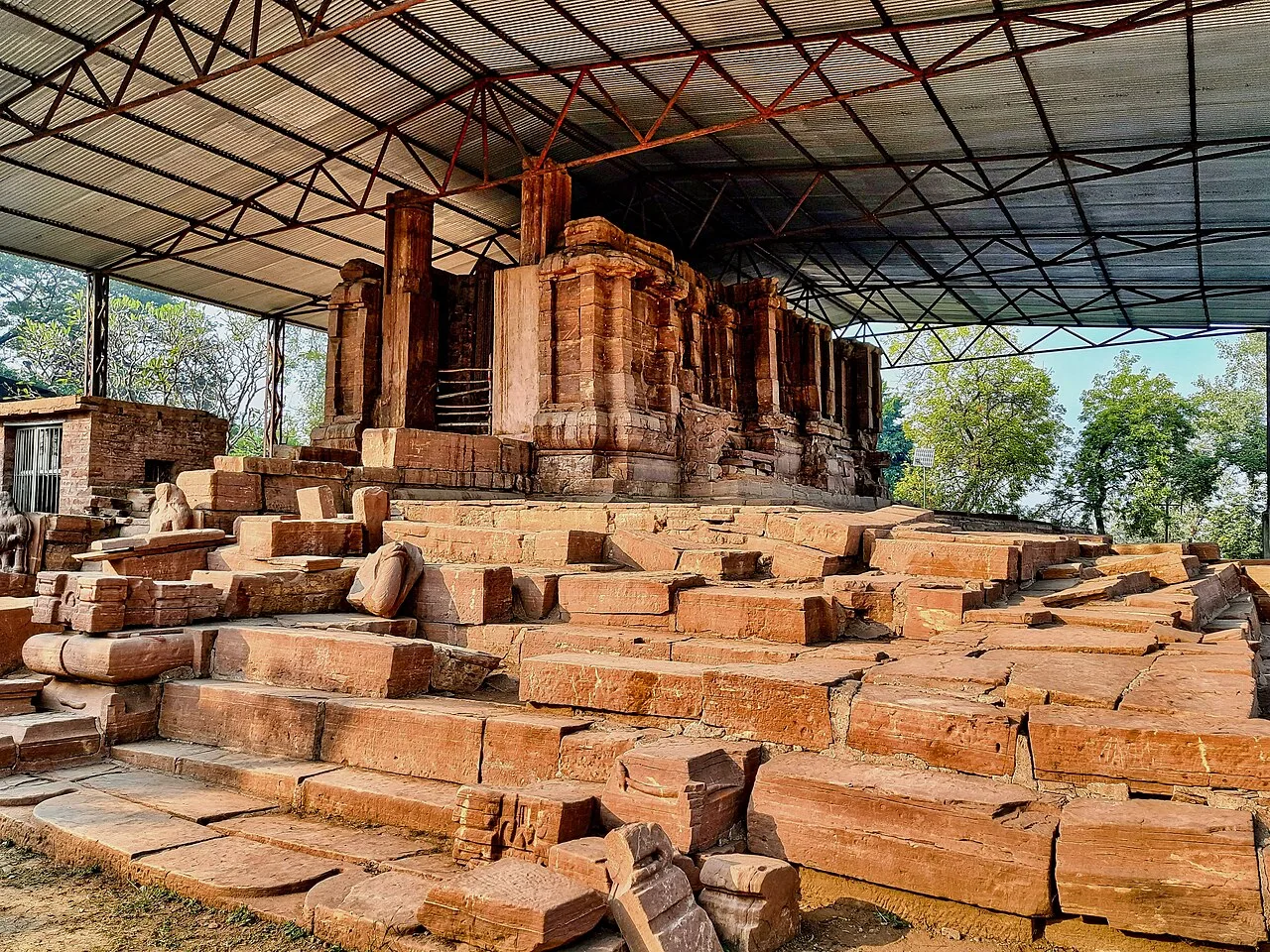
Chaiturgarh, also called Lafagarh, is a historic hill fort in Korba district, Chhattisgarh. Visitors come for its pilgrimage associations, historic remains and setting within a biosphere reserve.

Ratanpur

45 km away · Bilaspur district

Ratanpur

Ratanpur is a town and nagar palika in Chhattisgarh’s Bilaspur district. Travellers encounter it on National Highway 130, about 25 kilometres from Bilaspur on the way towards Ambikapur.

Ramgarh

65 km away · Balrampur district

Ramgarh

Ramgarh is a village in Balrampur district, Chhattisgarh, close to the Ramgarh hills. Visitors come to see the well-known Jogimara and Sitabenga caves there.

Malhar

73 km away · Bilaspur district

Malhar

Malhar, in Chhattisgarh’s Bilaspur district, draws visitors interested in archaeology and its remains of an old fort, restored Shiva temples, and Hindu, Jain and Buddhist temples.

Achanakmar Wildlife Sanctuary

84 km away · Bilaspur district

Achanakmar Wildlife Sanctuary

Achanakmar is a protected forest area and tiger reserve spanning parts of Chhattisgarh and Madhya Pradesh. Visitors come to experience its wooded hills, varied terrain and the Maniyari River.

Tala

85 km away · Bilaspur district

Tala

Tala is a village in Chhattisgarh’s Bilaspur district. Visitors are drawn to the Devrani and Jethani temples and its distinctive stone statue of Rudra Shiva.

Mainpat

88 km away · Surguja district

Mainpat

Mainpat is a small settlement and hill station in northern Chhattisgarh’s Surguja district. Visitors know it for Ulta Pani, also called Bisar Paani, where water appears to run uphill.

122 km away · Koriya district

Guru Ghasidas - Tamor Pingla Tiger Reserve

This protected area in Chhattisgarh brings together a national park and wildlife sanctuary under tiger-reserve status. Visitors come to experience its forest landscape and its role in tiger conservation.

Map

Katghora on the map

  1. 1Chaiturgarh
  2. 2Ratanpur
  3. 3Ramgarh
  4. 4Malhar
  5. 5Achanakmar Wildlife Sanctuary
  6. 6Tala
  7. 7Mainpat
  8. 8Guru Ghasidas - Tamor Pingla Tiger Reserve

Chhattisgarh

Other cities to explore