Ghumoopedia — Explore, Discover, Experience
Sign in
Bhoramdeo Temple, near Pandariya

City guide · Chhattisgarh

Pandariya

The town lies amid the wooded Maikal foothills, with the Half Nadi supporting farming in the surrounding area. Visitors may come for a quiet look at this rural landscape or to travel north to Dewanpatpar, where a slope creates a gravity-hill optical illusion: parked vehicles can appear to roll uphill.

Famous for

  • Dewanpatpar gravity hill
  • Sugar production
  • Agriculture and farming
  • Maikal foothills
  • Half Nadi

Why Pandariya matters

The town lies amid the wooded Maikal foothills, with the Half Nadi supporting farming in the surrounding area. Visitors may come for a quiet look at this rural landscape or to travel north to Dewanpatpar, where a slope creates a gravity-hill optical illusion: parked vehicles can appear to roll uphill. Pandariya is not a large tourist centre, so its appeal is more about seeing an everyday agricultural town and its natural setting than visiting a dense circuit of monuments. Its combination of farming, local administration and the nearby hill makes it a useful base for exploring this part of Kabirdham.
Famous for: crafts, trade & products

There is no widely recognised local textile tradition, craft product or GI-tagged item that defines Pandariya. Visitors looking for a specific saree, handicraft or packaged speciality should not assume one is made or sold here. Small shops and market stalls serve local residents, rather than functioning as a dedicated visitor shopping district. The sugar factory is an important local institution, but access, retail sales and visitor facilities should be confirmed locally rather than presumed. For a sense of the town’s economy, the market and the agricultural surroundings are more representative than a specialist craft centre.

History

There is no widely known local royal court or major colonial-era monument that defines the town’s history. Like the wider region, Pandariya experienced changing systems of administration before and after Indian independence, but its better-documented identity is tied to community life and agriculture rather than a single ruler or historic event. In modern Chhattisgarh, municipal and block functions have strengthened its role as a centre for nearby settlements. The government sugar factory reflects the development of agricultural processing alongside farming, while schools and local services serve a dispersed rural population. Today, Pandariya remains a modest regional town whose growth is linked to the needs of its surrounding villages.

Food, festivals & culture

Holi and Diwali are widely observed, while agricultural and community celebrations such as Hareli in the monsoon season and Pola, associated with farming and cattle, are part of the wider Chhattisgarhi calendar. Chhattisgarhi and Hindi are commonly used in daily life. Folk songs and dances heard at community events belong to the cultural life of the region; performances and celebrations are generally seasonal rather than scheduled as regular tourist shows. Neighbourhood temples and other places of worship serve local residents, though Pandariya is not especially known for a major pilgrimage site.

Visiting the city

Local buses and hired vehicles connect the town with nearby settlements, while auto-rickshaws or other local transport may be useful within town. The central market and civic area offer a glimpse of daily life; the Half Nadi and nearby agricultural landscape are worth exploring respectfully. Dewanpatpar, about 40 km north, is a possible road excursion for its apparent uphill-rolling effect. Check local road conditions and access before setting out.

Trips from the city

Nearest places to visit from Pandariya

Our closest destination guides, by straight-line distance.

Bhoramdeo Temple

30 km away · Kabirdham district

Bhoramdeo Temple

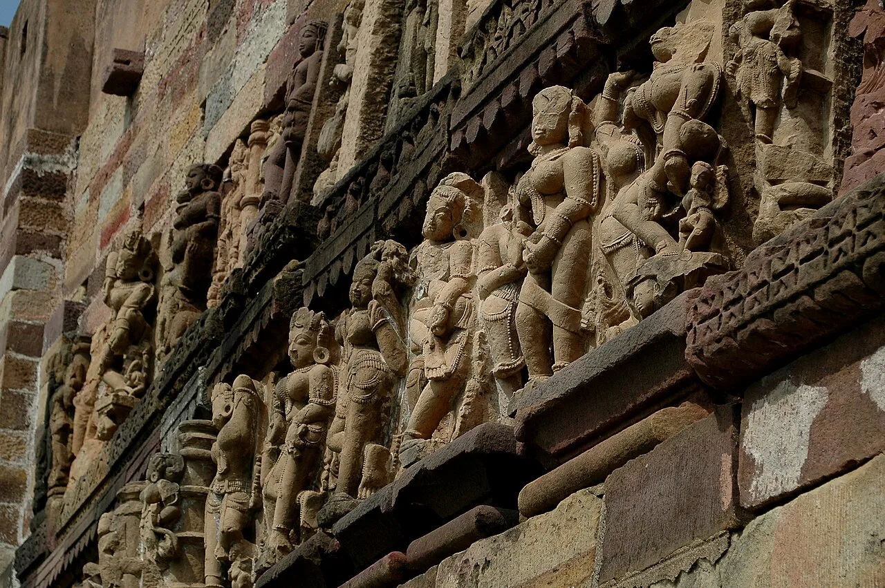
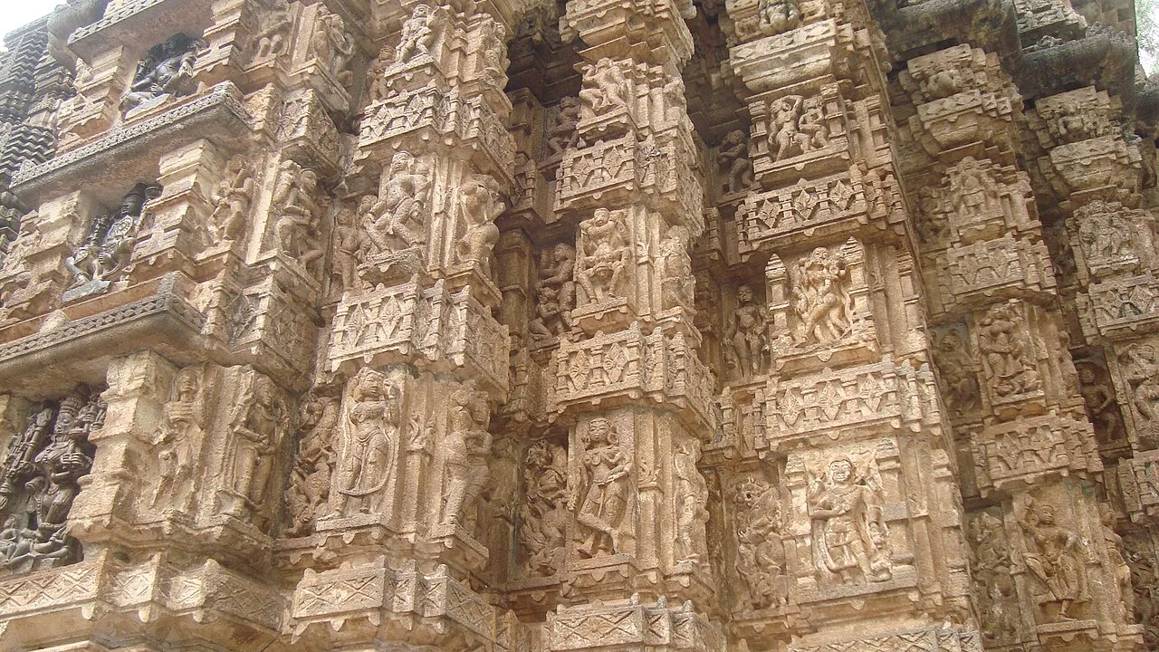
Bhoramdeo is a Shiva temple complex in Chhattisgarh, visited for its four shrines, sculptural detail and architectural links with Khajuraho and Konark.

Achanakmar Wildlife Sanctuary

49 km away · Bilaspur district

Achanakmar Wildlife Sanctuary

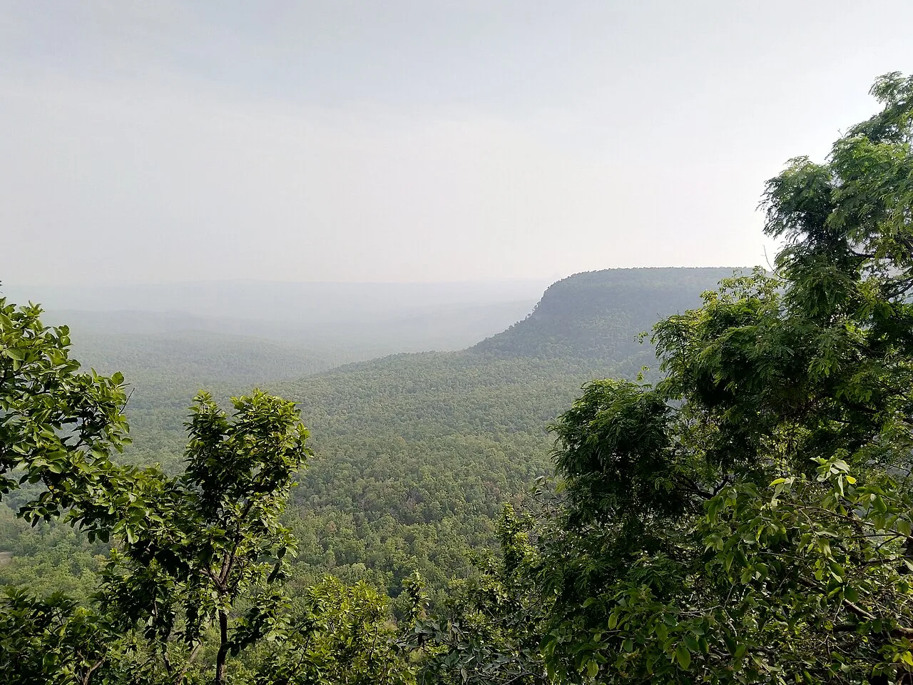
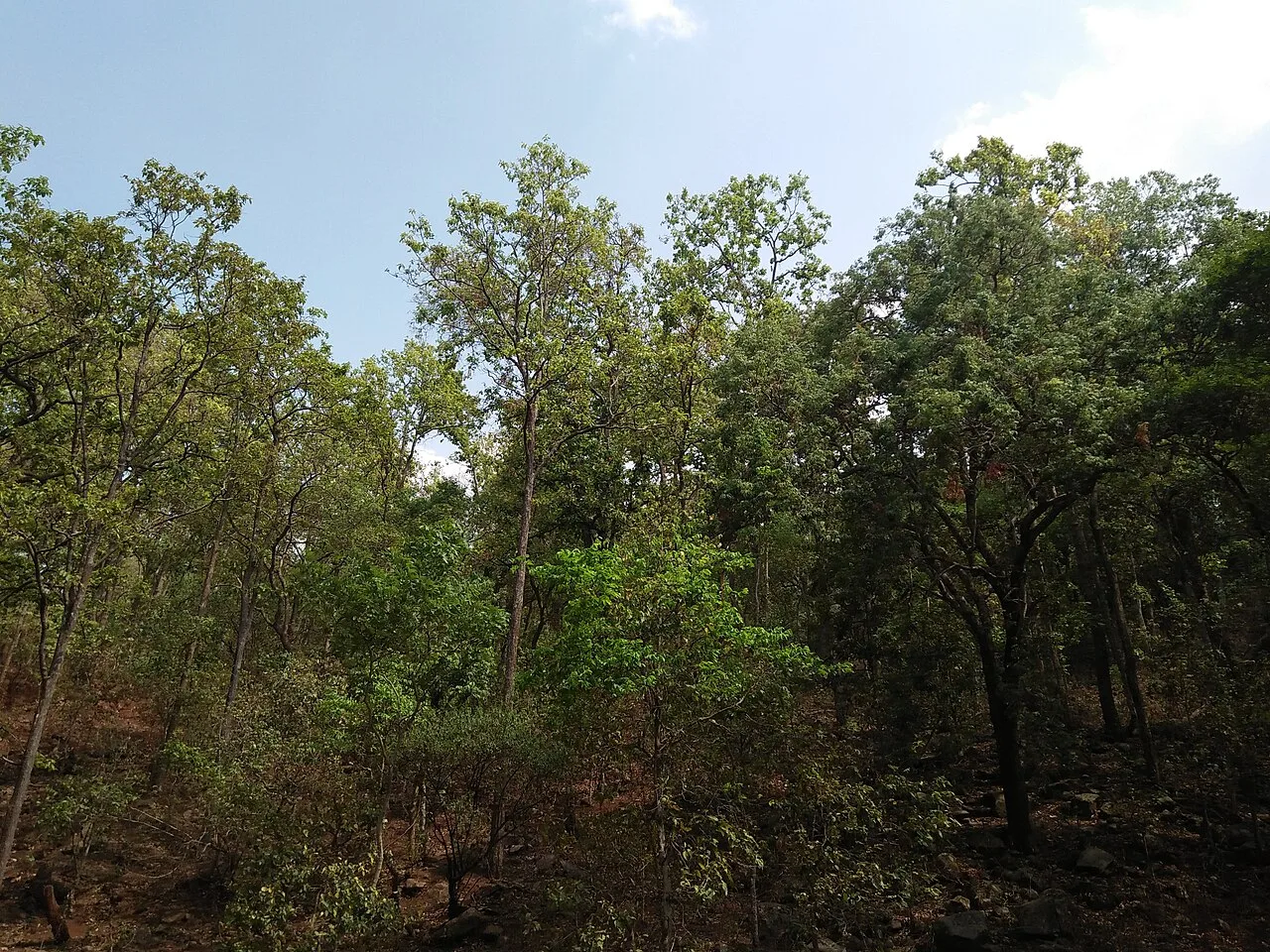
Achanakmar is a protected forest area and tiger reserve spanning parts of Chhattisgarh and Madhya Pradesh. Visitors come to experience its wooded hills, varied terrain and the Maniyari River.

Tala

73 km away · Bilaspur district

Tala

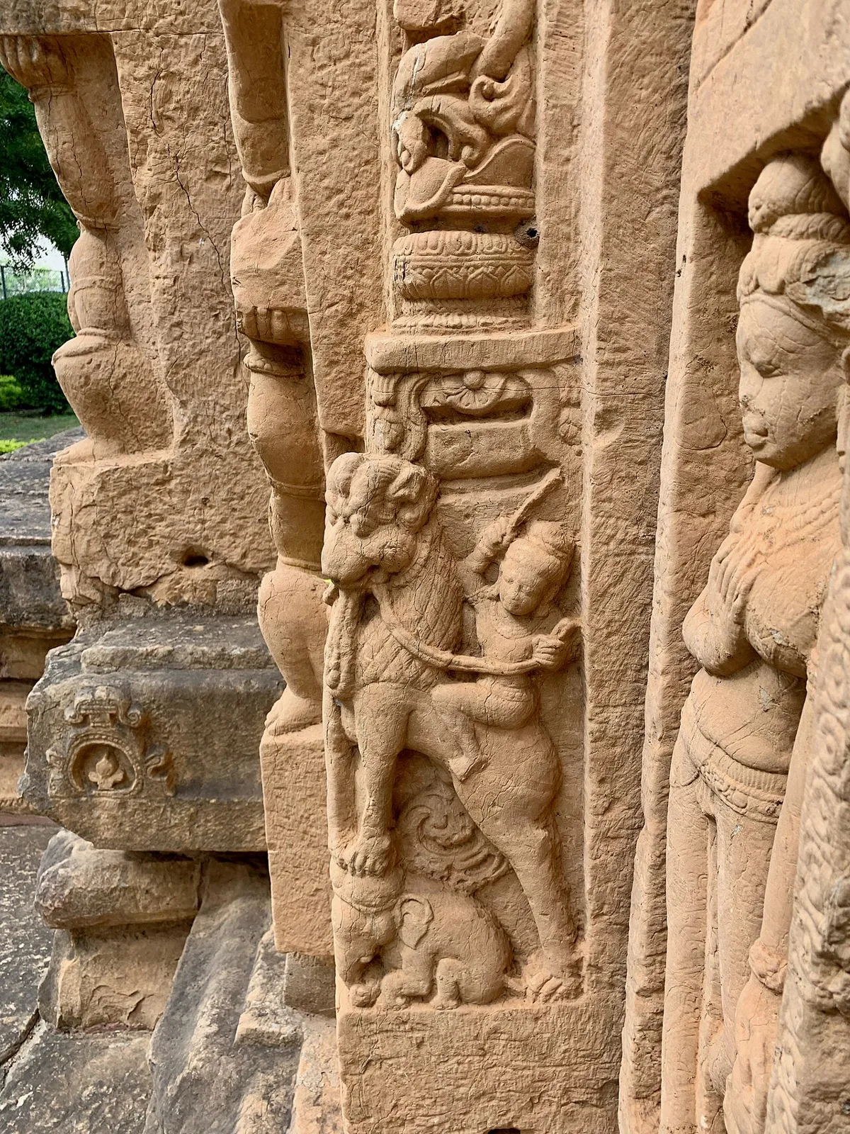
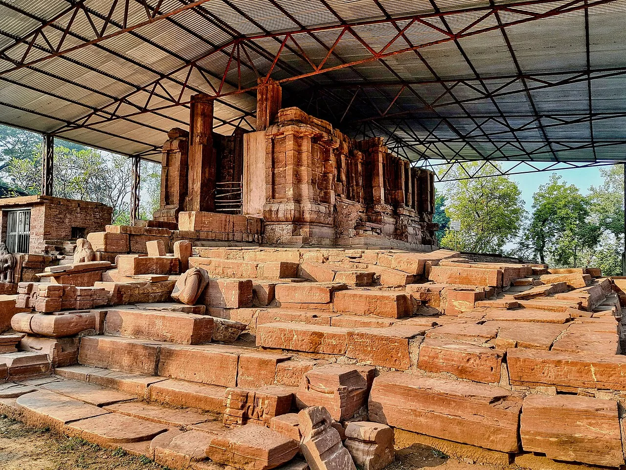
Tala is a village in Chhattisgarh’s Bilaspur district. Visitors are drawn to the Devrani and Jethani temples and its distinctive stone statue of Rudra Shiva.

Ratanpur

78 km away · Bilaspur district

Ratanpur

Ratanpur is a town and nagar palika in Chhattisgarh’s Bilaspur district. Travellers encounter it on National Highway 130, about 25 kilometres from Bilaspur on the way towards Ambikapur.

Chaiturgarh

94 km away · Korba district

Chaiturgarh

Chaiturgarh, also called Lafagarh, is a historic hill fort in Korba district, Chhattisgarh. Visitors come for its pilgrimage associations, historic remains and setting within a biosphere reserve.

Malhar

97 km away · Bilaspur district

Malhar

Malhar, in Chhattisgarh’s Bilaspur district, draws visitors interested in archaeology and its remains of an old fort, restored Shiva temples, and Hindu, Jain and Buddhist temples.

Nandan Van Zoo

106 km away · Raipur district

Nandan Van Zoo

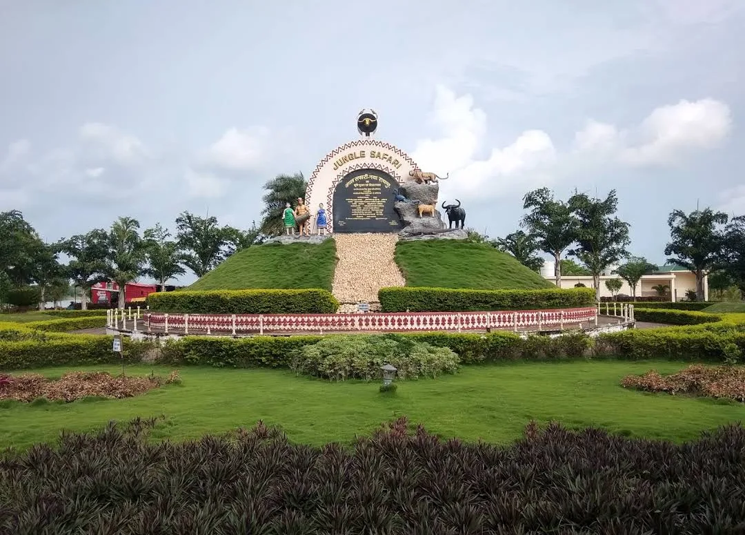
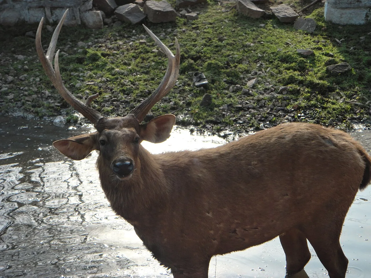
Nandan Van Zoo, also called Nandan Van Jungle Safari, is a visitor attraction in Raipur district, Chhattisgarh. People visit the 800-acre site beside the Kharun River.

Maitri Bagh

117 km away · Durg district

Maitri Bagh

Maitri Bagh is a zoo and visitor attraction in Bhilai, Durg district, Chhattisgarh. People visit for its wildlife setting and its history as a symbol of India–Soviet friendship.

Map

Pandariya on the map

  1. 1Bhoramdeo Temple
  2. 2Achanakmar Wildlife Sanctuary
  3. 3Tala
  4. 4Ratanpur
  5. 5Chaiturgarh
  6. 6Malhar
  7. 7Nandan Van Zoo
  8. 8Maitri Bagh

Chhattisgarh

Other cities to explore