
District · Arunachal Pradesh
West Kameng
West Kameng is a varied Himalayan district in western Arunachal Pradesh, linking the Assam foothills with the higher valleys on the route towards Tawang.
West Kameng rises from the Himalayan foothills near Bhalukpong into forested mountains and cool upland valleys around Bomdila and Dirang. Bomdila, the district headquarters, is an important administrative and travel centre, while Dirang offers a quieter valley setting. Eaglenest Wildlife Sanctuary and Sessa Orchid Sanctuary reflect the district’s exceptional forest biodiversity. Its cultural landscape includes Monpa, Sherdukpen, Aka, Miji and Bugun communities, with distinct languages and traditions. Buddhist monasteries and older village settlements reflect longstanding Himalayan cultural connections, alongside other indigenous religious traditions. Today, West Kameng combines working hill towns, farming settlements and protected forests; it rewards time spent exploring rather than treating it simply as a route towards Tawang.
West Kameng is a varied Himalayan district in western Arunachal Pradesh, linking the Assam foothills with the higher valleys on the route towards Tawang. It is best known for the hill towns of Bomdila and Dirang, the southern gateway at Bhalukpong, and forest reserves including Eaglenest Wildlife Sanctuary and Sessa Orchid Sanctuary. Travellers can encounter Monpa, Sherdukpen, Aka, Miji and Bugun communities, whose languages and traditions reflect the district’s cultural diversity. Buddhist monasteries and village life sit alongside working farms and protected forests. West Kameng suits visitors who want to explore mountain landscapes, wildlife and local culture at a measured pace, rather than pass through only on the way to Tawang.
West Kameng’s history is rooted in the communities that have long lived across its valleys and forested slopes. Monpa communities maintain Buddhist traditions connected with the wider Himalayan and Tibetan cultural world, while Sherdukpen, Aka, Miji and Bugun communities have their own languages, customs and village histories. Trade, pilgrimage and seasonal movement linked parts of the region with neighbouring Himalayan areas and the Assam plains. The region was not a single kingdom throughout its history, so accounts of its past are better understood through local communities and changing regional connections than through one ruling dynasty. During British rule, the frontier was administered as part of a loosely governed border region. After independence, it formed part of the North-East Frontier Agency (NEFA), administered by the Indian government. In 1965, NEFA’s administrative divisions were reorganised as districts, and the Kameng district was later divided into East Kameng and West Kameng in 1980. Bomdila became the headquarters of West Kameng. The district’s present identity reflects both this administrative history and older cultural links across the eastern Himalaya.
5 destination guides
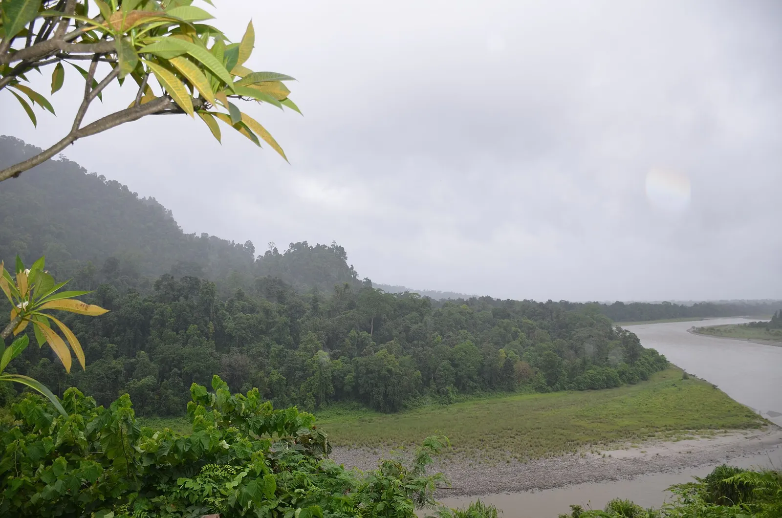
Bhalukpong
Bhalukpong is a town in Arunachal Pradesh, set beside the Kameng River. Visitors come for angling and rafting, and to explore Pakhui Game Sanctuary and the Tipi Orchidarium.
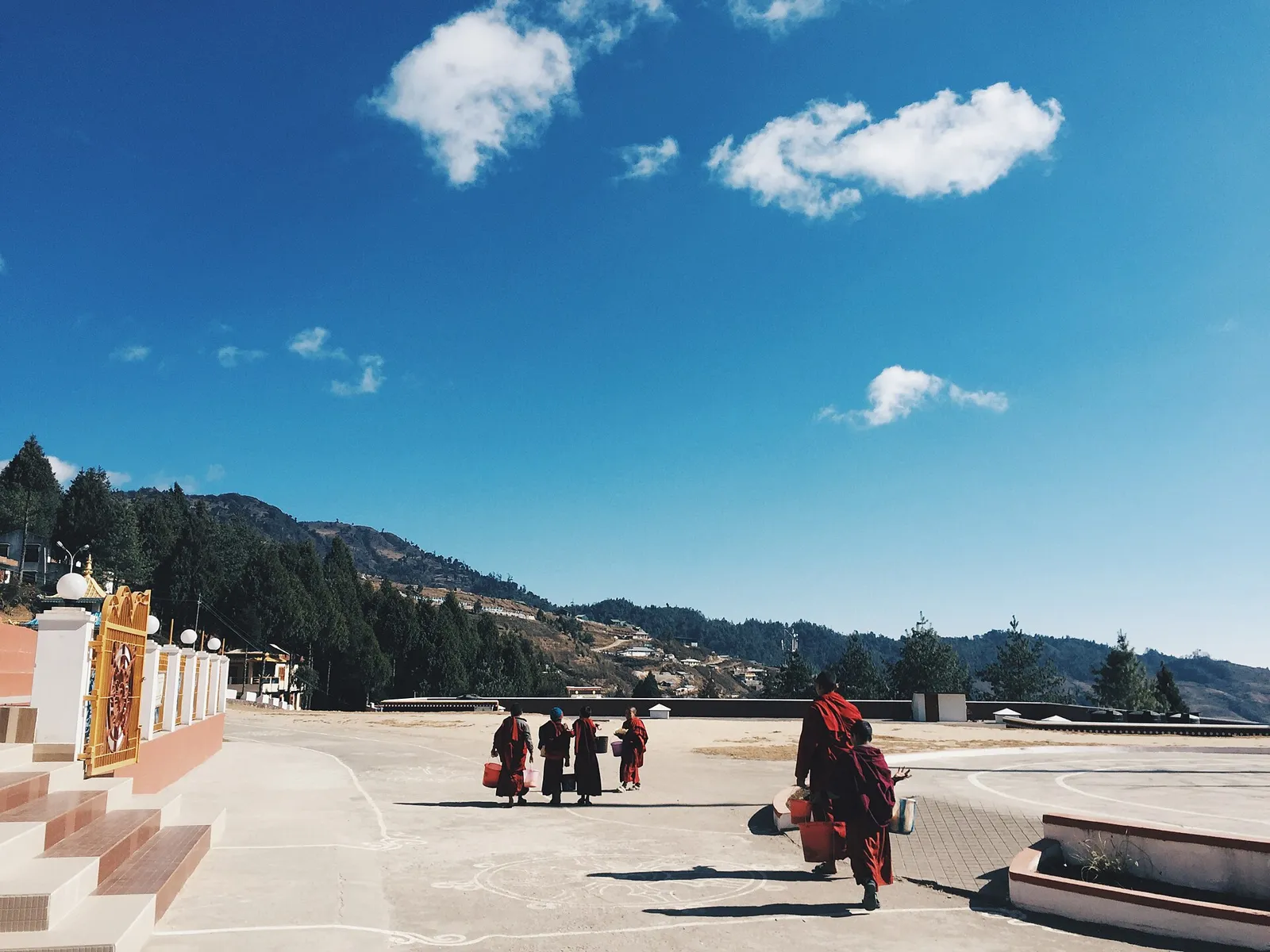
Bomdila
Bomdila is the administrative centre of West Kameng district in Arunachal Pradesh and one of the state’s constituencies. Its history as a Sela Sub Agency capital and connection with the 1962 fighting may interest visitors.
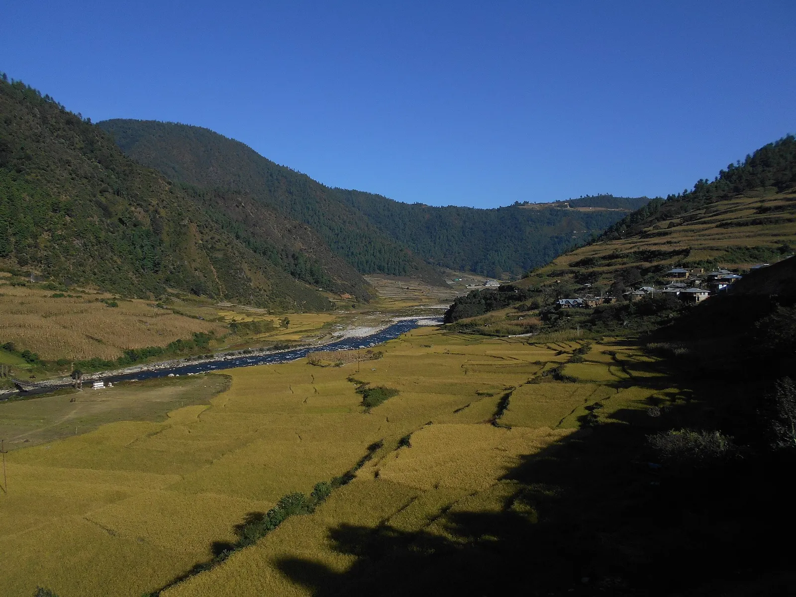
Dirang
Dirang is a town in Arunachal Pradesh’s West Kameng district, associated with NIMAS and a major geothermal project proposed to make it India’s first geothermal-powered town.
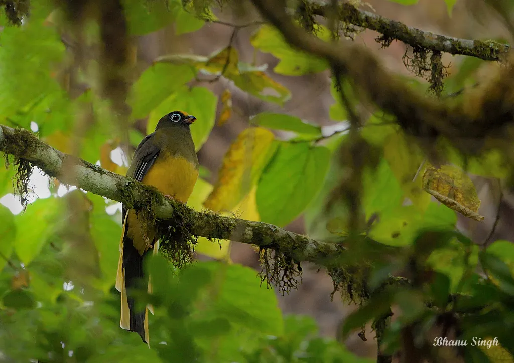
Eaglenest Wildlife Sanctuary
Eaglenest Wildlife Sanctuary is a protected natural area in West Kameng district, Arunachal Pradesh, within the Himalayan foothills. Visitors come to experience its mountain setting and broad range of elevations.
Sessa Orchid Sanctuary
This 100-square-kilometre protected area in West Kameng, Arunachal Pradesh, is known for its orchids. Visitors explore its orchid habitats on trekking routes through rugged mountain terrain.
Thukpa and momos are familiar choices in West Kameng’s towns, while butter tea and zan, a thick cereal preparation, are associated with Monpa food traditions. Across the wider Arunachal region, meals may include bamboo shoots, smoked meat, local greens and fermented ingredients, though dishes vary considerably between communities. Rice-based fermented drinks feature in some community celebrations; names and preparation methods differ locally. Small eateries often cook a limited daily menu, so ask what is fresh. Vegetarian travellers should explain whether they avoid meat stock and fermented fish as well as meat; rice, dal and vegetables are generally easier to arrange in towns.
Weaving is an important tradition among several communities of West Kameng and the wider Arunachal region. Monpa and Sherdukpen textiles include patterned garments and woven accessories, with designs and uses varying by community. Woollen weaving, carpets, woodcarving and bamboo or cane work belong to the broader craft traditions of western Arunachal. Buddhist artistic traditions also include painted religious imagery and carved ritual objects. Ask locally about village producers or cooperatives, distinguish handmade work from factory-made souvenirs, and avoid buying old religious objects whose provenance is unclear.
Losar, the Monpa New Year, is generally celebrated in late winter or early spring, with prayers, family gatherings and community festivities. Local communities also hold seasonal and village festivals whose customs and timing vary; celebrations may include rituals, traditional dress, music and dancing. Festival calendars are not uniform across the district, so visitors should check locally rather than assume a fixed date. These occasions can bring more visitors to Bomdila and Dirang and increase demand for rooms, especially around larger community events. Booking ahead is sensible during a known festival period.
The district rises from the foothills around Bhalukpong into forested mountain slopes and cooler upland valleys around Bomdila and Dirang. Rivers and streams cut through steep terrain, while forests range from lower foothill vegetation to higher-elevation habitats. Eaglenest Wildlife Sanctuary and Sessa Orchid Sanctuary protect parts of this varied landscape. Roads follow narrow valleys and mountain contours rather than straight routes, so journeys between towns can take longer than the map suggests. Rain, landslides and changing elevation can affect access, and reaching remote forest areas usually requires advance transport planning.
Conditions vary with elevation. Summer is generally milder in the uplands than in the plains, though lower areas can feel warm. The monsoon brings persistent rain, low visibility and possible road disruption. Winter is cold in Bomdila and Dirang, with chilly nights; higher areas can be especially exposed. October to April is often a practical period for travel, with clearer conditions more likely outside the main rains, but weather can change quickly. Pack layers, a warm jacket, rain protection and sturdy shoes in any season. For winter visits, bring warm clothing, and check road conditions before setting out.
Tezpur Airport at Salonibari is a nearby air gateway, while Guwahati is the main regional hub for longer-distance air and rail connections. Bhalukpong railway station is close to the district’s southern gateway, but confirm whether its services suit your journey. Roads from Assam lead through Bhalukpong towards Bomdila and Dirang, with onward connections towards Tawang. Shared taxis, hired vehicles and available bus services connect towns; sanctuary visits need separate transport planning. Hill roads can be slow, particularly during heavy rain. Arrange the applicable Arunachal entry permit before travelling, and check current services locally.
The main road runs from Bhalukpong through Bomdila and Dirang, continuing towards Tawang. Shared jeeps and taxis are common ways to travel between towns; bus services may also operate, but availability should be checked locally. Autos may be available for short trips in some settled areas, but should not be relied on for longer journeys. Reaching Eaglenest Wildlife Sanctuary or Sessa Orchid Sanctuary requires separate planning, and a hired vehicle or locally arranged transport may be needed. Mountain roads are slow and can be affected by rain, so allow flexibility and confirm onward transport before travelling.
2 days: Bhalukpong → Sessa Orchid Sanctuary → Bomdila; sleep in Bomdila. 3 days: Bhalukpong → Sessa Orchid Sanctuary → Bomdila → Dirang; sleep in Bomdila, then Dirang. 4 days: Bhalukpong → Sessa Orchid Sanctuary → Eaglenest Wildlife Sanctuary → Bomdila → Dirang; sleep near Eaglenest Wildlife Sanctuary if locally arranged, then in Bomdila and Dirang.
Bomdila is a practical base for the district’s central road corridor and works well for visits to nearby sights. Dirang is a quieter base for exploring the valley and continuing towards Tawang. Bhalukpong is useful for an overnight stop at the southern gateway, while visits to Eaglenest Wildlife Sanctuary may require a locally arranged stay close to the sanctuary. Options across the district can include hotels, homestays and government lodges; availability and standards vary. Confirm accommodation and access arrangements in advance, especially for remote areas and busy festival periods.
Mountain roads are winding and may be affected by heavy rain, landslides or poor visibility; avoid rushing and check conditions locally. Weather changes quickly, so carry warm and rainproof layers. In forest areas, follow local guidance, keep a respectful distance from wildlife and do not walk off marked routes without appropriate arrangements. Use treated or reliably safe drinking water. Mobile connectivity can be limited outside towns, so share plans and do not depend on continuous coverage. Indian visitors generally need an Inner Line Permit to enter Arunachal Pradesh; foreign visitors have separate permit requirements. Confirm current entry and sanctuary permissions with official authorities before travel.
- Pakke-Kessangabout 45 km
- Udalguri · Assamabout 46 km
- Tawangabout 69 km
- Darrang · Assamabout 72 km
- Sonitpur · Assamabout 73 km
- Golaghat · Assamabout 110 km
- Morigaon · Assamabout 113 km
- Papum Pareabout 119 km
Straight-line distance between the centres of each district's destinations; road distance is longer.
Q: How many days should I spend in West Kameng? A: Three or four days allows time for the main towns and a planned forest visit; add time if travelling slowly or continuing towards Tawang. Q: When is the best time to visit? A: October to April is often a practical window, though winter is cold in the uplands and weather can vary. Q: What is the best base? A: Bomdila is a useful central base; Dirang suits a quieter valley stay, and Bhalukpong works for the southern gateway. Q: How do I get to West Kameng? A: Travel by road from Assam through Bhalukpong. Tezpur and Guwahati are regional air gateways, and Guwahati is also a major rail hub; check current connections and onward transport. Q: Is West Kameng suitable for families or elderly travellers? A: It can be, particularly with a flexible road itinerary and comfortable stays, but steep terrain, long drives and limited services in remote areas may not suit everyone.
This page draws on our 5 destination guides for West Kameng and is updated as our team checks it.
Be the first to share photos, stories, advice or a helpful contact for West Kameng.
Loading…