
District · Kerala
Kannur
Kannur occupies Kerala’s northern Malabar coast, where coastal towns and fishing settlements meet river valleys and the foothills of the Western Ghats.
Kannur district stretches from the Arabian Sea coast to the foothills of the Western Ghats. Beaches, estuaries and rivers shape its western lowlands, while forested slopes and hill country rise inland. Its history reflects centuries of Indian Ocean trade and changing regional powers, including the Kolathiri rulers, the Arakkal family, Portuguese and British interests. Forts at Kannur and Thalassery recall this layered past. The district is also known for Theyyam, a distinctive ritual performance tradition rooted in local communities and sacred groves. Today, Kannur combines busy towns and fishing settlements with historic sites, temples, handloom centres and quieter rural landscapes.
Kannur occupies Kerala’s northern Malabar coast, where coastal towns and fishing settlements meet river valleys and the foothills of the Western Ghats. Travellers come for its layered history, visible in St. Angelo Fort, Thalassery Fort and the heritage of the Arakkal family, as well as for beaches such as Muzhappilangad and Payyambalam. The district is also closely associated with Theyyam, a ritual performance tradition rooted in local communities and sacred places. Inland, its hills and forest landscapes offer a change of pace from the coast. Kannur suits travellers interested in combining cultural visits, seaside stops and rural journeys.
The region was historically part of Kolathunadu, ruled by the Kolathiri dynasty, whose influence extended across North Malabar. The Arakkal family, a Muslim royal house with maritime connections, also held power in the area. European involvement grew with Indian Ocean trade: the Portuguese built St. Angelo Fort at Kannur in the early 16th century, and Dutch and British interests later followed. The British established a presence at Thalassery and, after conflicts with the Mysore kingdom in the 18th century, extended control over much of Malabar. Resistance to British rule in the wider region included the campaigns associated with Pazhassi Raja. Under British administration, the area formed part of Malabar district in the Madras Presidency. After Indian independence, Malabar became part of Madras State and joined the newly formed Kerala in 1956. Kannur district was established in 1957; its boundaries and administrative divisions have since changed. Theyyam and other local traditions reflect histories shaped not only by rulers and trade, but also by village communities and religious institutions.
10 destination guides
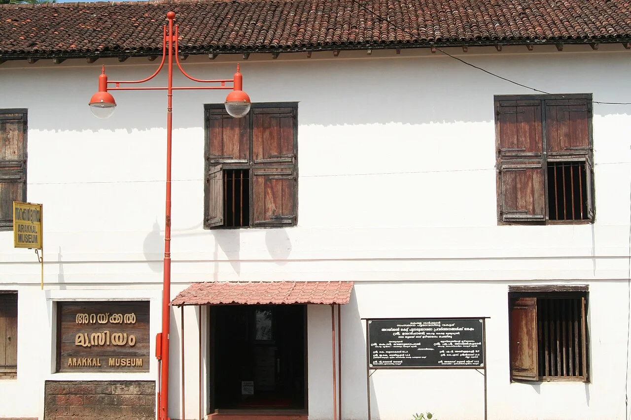
Arakkal Museum
Set within Arakkalkettu in Kannur, the Arakkal Museum explores the history of Kerala’s only Muslim royal family. Visitors can see the palace durbar hall, now used to present the family’s heritage.
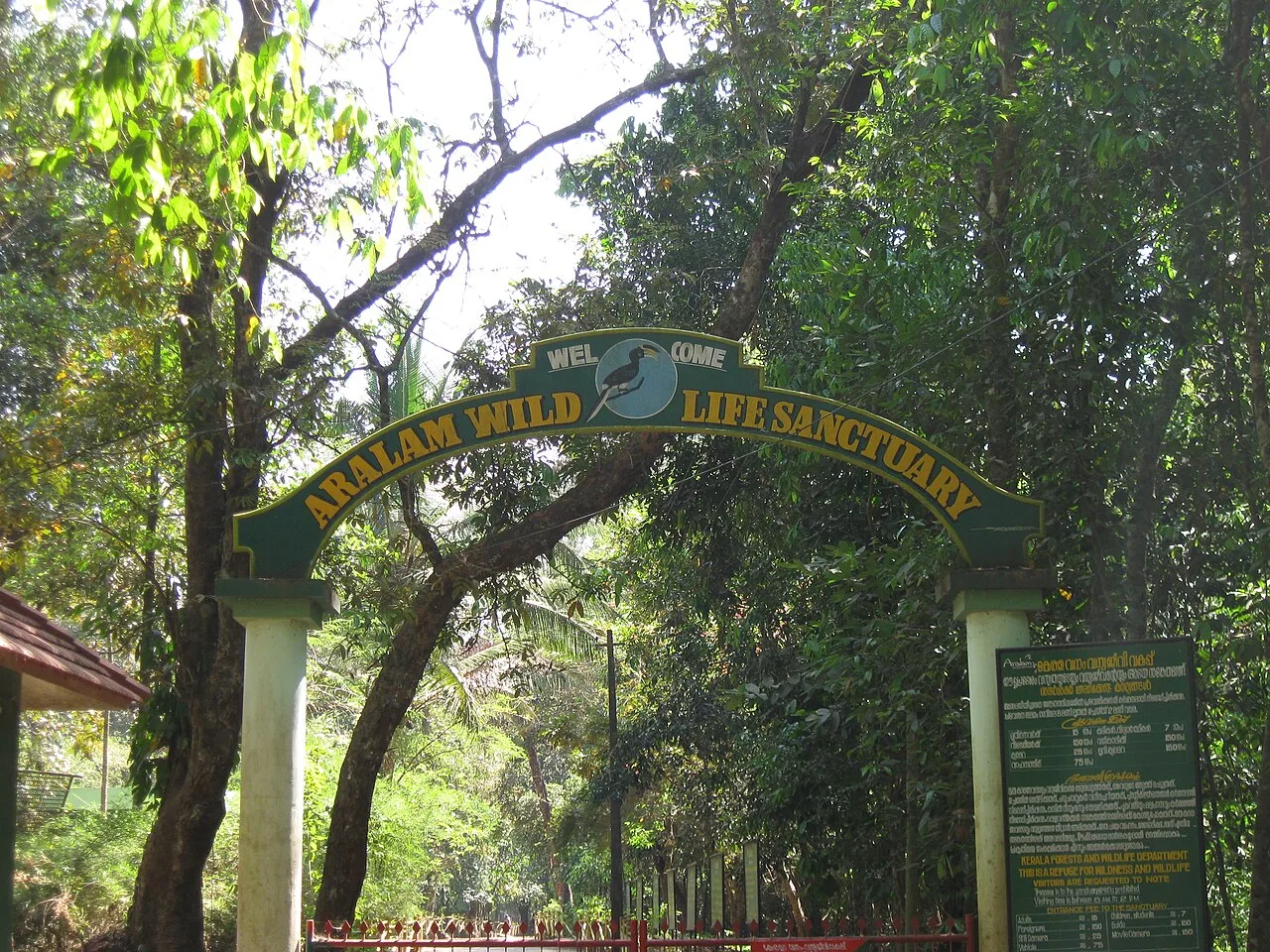
Aralam Butterfly Sanctuary
In Kannur district, Aralam Butterfly Sanctuary is Kerala’s northernmost wildlife sanctuary. Visitors come to see its diverse butterflies, including endangered species.
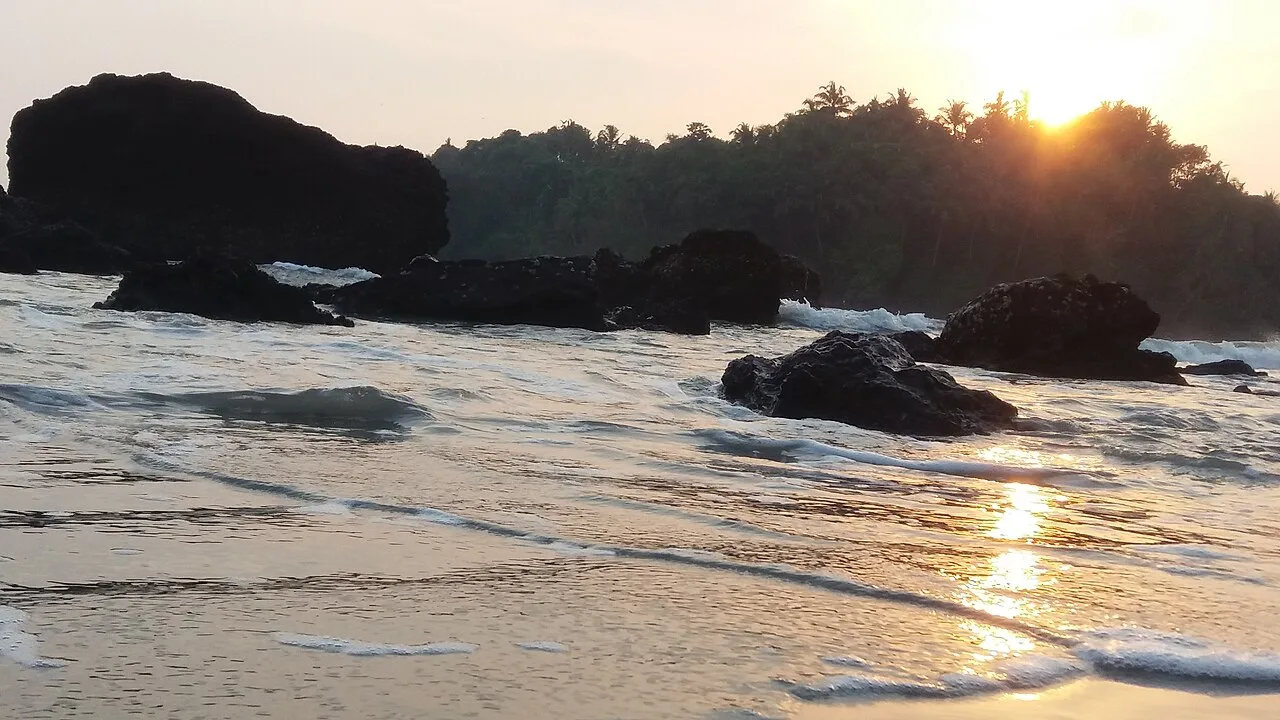
Dharmadam Island
Dharmadam Island, also called Green Island, is a small privately owned islet near Thalassery. Visitors are drawn to its coastal setting and the migratory birds it attracts.
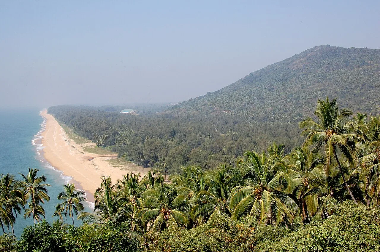
Ezhimala
Ezhimala is a hill and historic site in Kannur district, Kerala, associated with an ancient kingdom, early trade and regional wars. Visitors also know it for the Indian Naval Academy.
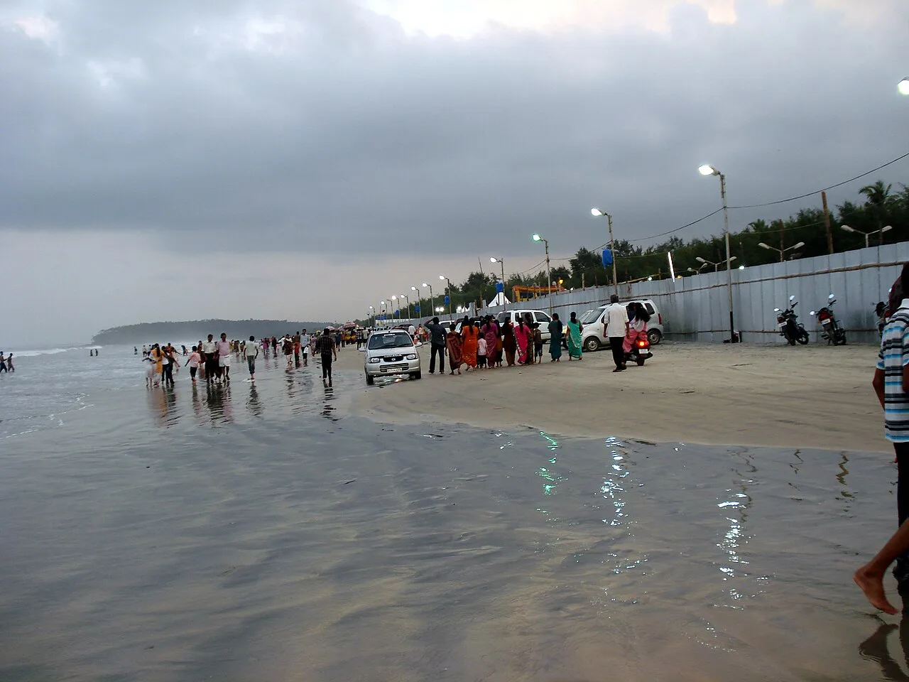
Muzhappilangad Beach
Muzhappilangad Beach is a four-kilometre stretch of coast in Kannur district, Kerala, known for vehicle access along the shore and its recognition as Asia’s longest beach of this kind.
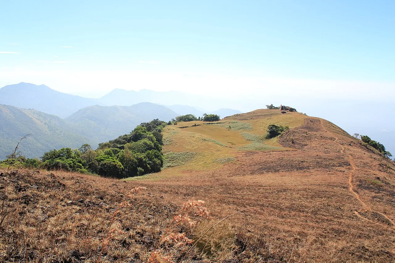
Paithalmala
Paithalmala is a hill station and the highest geographic peak in Kannur district, Kerala. Visitors come for its elevated setting in the Western Ghats, near the Kerala–Karnataka border and the forests of Kodagu.
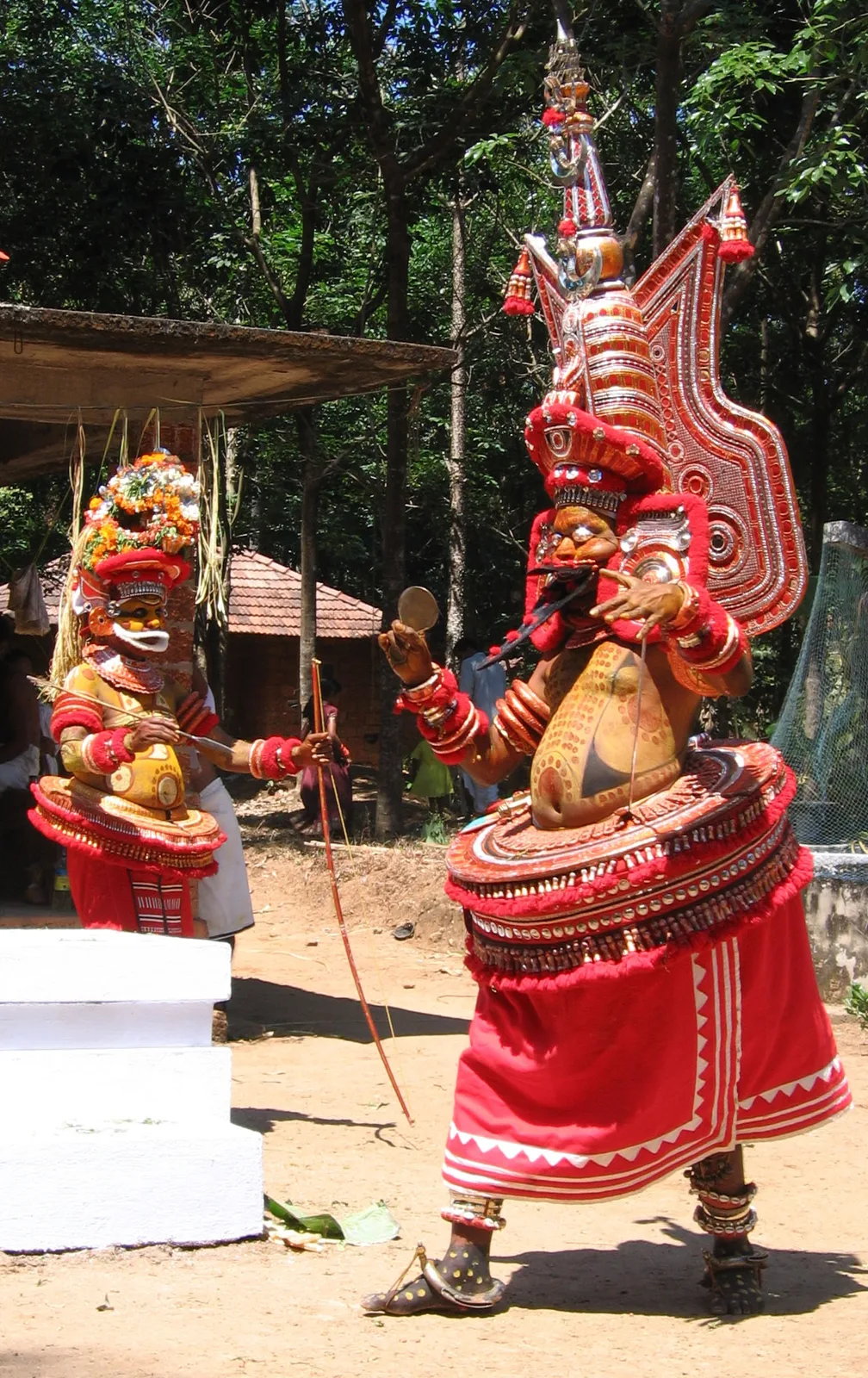
Parassinikkadavu Muthappan Temple
Parassinikkadavu Muthappan Temple is a shrine in Kannur district, Kerala, where worship centres on Sree Muthappan and the ritual performances of Vellattam and Thiruvappan.
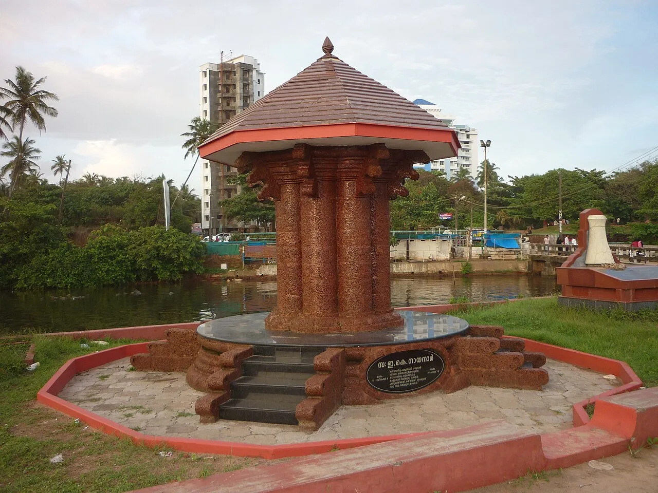
Payyambalam Beach (Kannur Beach)
Payyambalam Beach, also known as Kannur Beach, is a coastal destination in Kannur district, Kerala, where visitors can explore a group of five beaches.
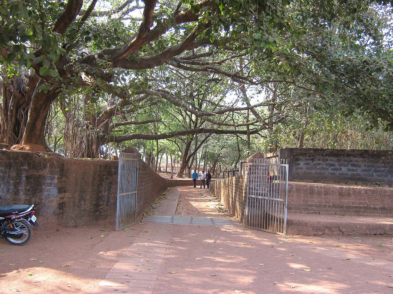
St. Angelo Fort
St. Angelo Fort is a coastal fort in Kannur district, Kerala, near Kannur and beside the Arabian Sea; visitors come to see the fort and its setting.
Kannur’s food belongs to the wider Malabar culinary tradition, shaped by local produce and long-standing trade links. Malabar biryani, pathiri, puttu with kadala curry, appam and idiyappam are among the familiar dishes. Coastal kitchens serve fish and other seafood, sometimes cooked with coconut, chilli and local spices; preparations vary from place to place. Banana chips and payasam are popular treats, while meals may include a banana-leaf sadya. Small eateries may offer a limited menu based on what is fresh that day. Coconut is widely used, and visitors who prefer milder food can ask about spice levels.
Kannur has a long-established handloom tradition, with locally woven cloth and furnishing fabrics associated with the district. Kannur home furnishings have a Geographical Indication tag, reflecting the recognised regional identity of this textile production. The wider Malabar region also has varied traditions of weaving and handwork. Theyyam is not a craft, but it is a major living art tradition of Kannur: performances combine elaborate costume, face painting, music and movement in ritual settings. Visitors should approach performances respectfully, since they are religious practices as well as cultural events.
Theyyam performances are a major seasonal tradition in Kannur, commonly held at shrines and sacred groves during the cooler months, broadly from autumn into spring. Their dates and schedules vary by locality, and popular performances can draw large crowds; arrange accommodation and transport ahead when visiting for a specific event. Temple festivals and poorams are held at different times of year, while Onam and Vishu are observed across Kerala. Eid celebrations are also part of the district’s cultural life. Festival dates change annually, so check locally before planning.
Elsewhere in Kerala
Kannur runs from the Arabian Sea coast through lowlands shaped by estuaries and rivers to the rising foothills of the Western Ghats. Beaches and coastal towns lie west, while forested slopes and hill country, including Paithalmala and Ezhimala, make inland journeys more winding. The Valapattanam River and its waterways are part of the district’s landscape. Roads connect the coast and interior, but hill trips can take longer than distances suggest; rain may affect access and road conditions. Coastal stops are generally easier to combine with town visits than remote upland destinations.
Kannur has a tropical coastal climate. Summer, broadly from March to May, is often hot and humid, while the southwest monsoon brings frequent heavy rain from around June into September; wet conditions can complicate beach visits and hill travel. The post-monsoon months are greener, and the generally drier, more comfortable season from about November to February is a popular time to visit. For most sightseeing, these cooler months are a practical choice, though Theyyam events follow local calendars. Pack light, breathable clothing, sun protection and insect repellent. During the monsoon, carry rain protection and footwear suited to wet paths.
Kannur International Airport, near Mattannur, serves the district; Kannur railway station is a principal rail stop, with other stations including Thalassery and Payyanur. The coastal railway line connects Kannur with towns elsewhere in Kerala and beyond. National Highway 66 runs along the coast, while other roads link inland towns and hill areas with neighbouring districts and Karnataka. Buses serve many towns and villages; auto-rickshaws and taxis are useful for shorter trips or places not well served by buses. Access to some beaches, hills and rural attractions may require a local vehicle. Check current services locally before travelling.
National Highway 66 links coastal Kannur with Thalassery and Payyanur, while other roads lead inland towards Mattannur, Iritty and hill areas. Local buses serve towns and many villages, but services may be less frequent for remote beaches or upland sites. Auto-rickshaws work well for shorter town journeys; taxis or a hired local vehicle offer more flexibility for day trips. Shared jeeps may operate on some rural and hill routes, but availability varies. Boats are used on some waterways, though they are not a general substitute for road transport. Check local access conditions before setting out.
Kannur city is a convenient base for St. Angelo Fort, Arakkal Museum and Payyambalam Beach, with hotels and homestays. Thalassery works well for the northern coast and has hotels and smaller guesthouses; Payyanur is useful for Ezhimala and nearby rural visits. For hill and forest trips, an inland base such as Iritty can reduce backtracking, though accommodation choices may be more limited. Homestays and government lodges may be available in some areas; confirm current facilities and access before booking. Dharamshalas are not a standard option across the district.
Coastal conditions, tides and wet rocks can make swimming or walking near the water hazardous; follow local advice and avoid rough seas. In forest areas, stay on permitted routes, do not approach or feed wildlife, and check current sanctuary access rules with the relevant authorities. Confirm any access permission directly with officials or landowners, especially for private Dharmadam Island. Drink treated or sealed water, use insect protection and carry needed medicines. Mobile coverage can be weaker in rural hills; check road and connectivity conditions before departure.
- Mahe · Puducherryabout 22 km
- Kodagu · Karnatakaabout 67 km
- Wayanadabout 77 km
- Kozhikodeabout 78 km
- Kasaragodabout 78 km
- Malappuramabout 109 km
- Hassan · Karnatakaabout 126 km
- Dakshina Kannada · Karnatakaabout 127 km
Straight-line distance between the centres of each district's destinations; road distance is longer.
Q: How many days should I spend in Kannur? A: Two days can cover the main Kannur town sights; three or four days allow time for the coast, hills and inland visits. Q: What is the best time to visit? A: November to February is generally more comfortable for sightseeing. Monsoon months bring heavy rain and can affect outdoor plans. Q: Where is the best base? A: Kannur city is a practical all-round base; Thalassery, Payyanur or an inland town may suit particular routes. Q: How do I get to Kannur? A: The district is served by Kannur International Airport and the coastal railway, with road and bus links to towns across the region. Q: Is Kannur suitable for families or elderly travellers? A: Yes, many town and beach visits can suit families, but hill paths, uneven ground, heat and limited access at some sites may require extra care.
This page draws on our 10 destination guides for Kannur and is updated as our team checks it.
Be the first to share photos, stories, advice or a helpful contact for Kannur.
Loading…