
District · Kerala
Wayanad
Wayanad is Kerala’s northeastern highland district, set in the Western Ghats near Karnataka and Tamil Nadu.
Wayanad is a highland district in northeastern Kerala, where the Western Ghats frame forested slopes, cultivated valleys and settlements shaped by farming and trade. Coffee, pepper and other plantation crops form part of its everyday landscape. Chembra Peak, Banasura Sagar Dam and the forests of Wayanad Wildlife Sanctuary reveal different aspects of this hill country, while Kuruvadweep protects a river-island environment. The rock engravings at Edakkal offer evidence of prehistoric human activity, and Thirunelli Temple remains an important centre of Vishnu worship near Brahmagiri hill. Wayanad is also home to several Adivasi communities with distinct histories and living traditions. Its dispersed attractions reward an unhurried itinerary, with access to forests, waterfalls and trekking routes dependent on weather and official restrictions.
Wayanad is Kerala’s northeastern highland district, set in the Western Ghats near Karnataka and Tamil Nadu. It is known for forested hills, plantation country, waterfalls and wildlife, as well as sites that reflect a much longer human history. Visitors can combine viewpoints and walks with places such as Edakkal caves, whose engravings record prehistoric activity, and Thirunelli Temple, an important Vishnu shrine. The district is also home to several Adivasi communities with distinct histories and living traditions. Wayanad suits travellers seeking nature and cultural interest, but its sights are spread across a large area, so a relaxed itinerary and road time between bases are worth allowing for.
Wayanad’s history includes long-standing Adivasi communities, whose presence and knowledge are integral to the region, and evidence of prehistoric activity at Edakkal caves. In later centuries, local rulers and the Kottayam royal house held influence in the area. Wayanad came under Mysore rule during the expansion of Hyder Ali and Tipu Sultan’s state, and later passed into British control. The region is associated with Pazhassi Raja of Kottayam, who resisted Mysore and then British authority in the late eighteenth and early nineteenth centuries; he died in 1805. Under British rule, Wayanad formed part of Malabar in the Madras Presidency, and plantation cultivation expanded alongside older farming and forest livelihoods. After Indian independence, the area remained within Madras State until the formation of Kerala in 1956. Wayanad district was formed on 1 November 1980, from parts of Kozhikode and Kannur districts. Its present character reflects these layered histories, as well as continuing connections across state borders.
10 destination guides · 9 on the map
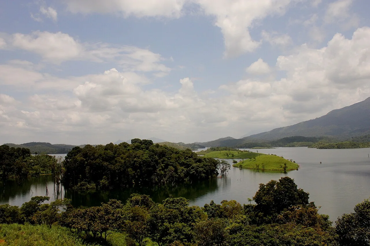
Banasura Sagar Dam
Banasura Sagar Dam is an earth dam and water-management project in Wayanad, Kerala. Visitors come to see its reservoir islands and the surrounding Banasura Hills.
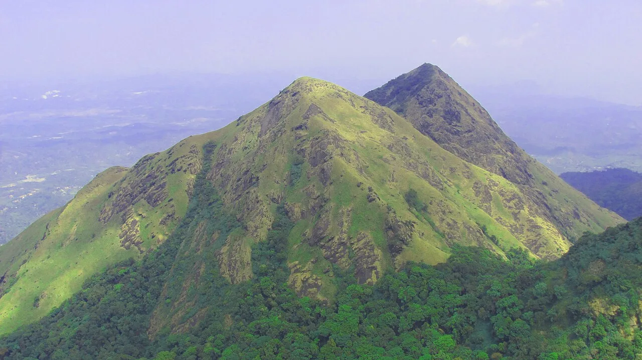
Chembra Peak
A 2,100-metre mountain in Kerala’s Wayanad hills, Chembra Peak is visited for organised treks and its place among the Western Ghats’ highest summits.
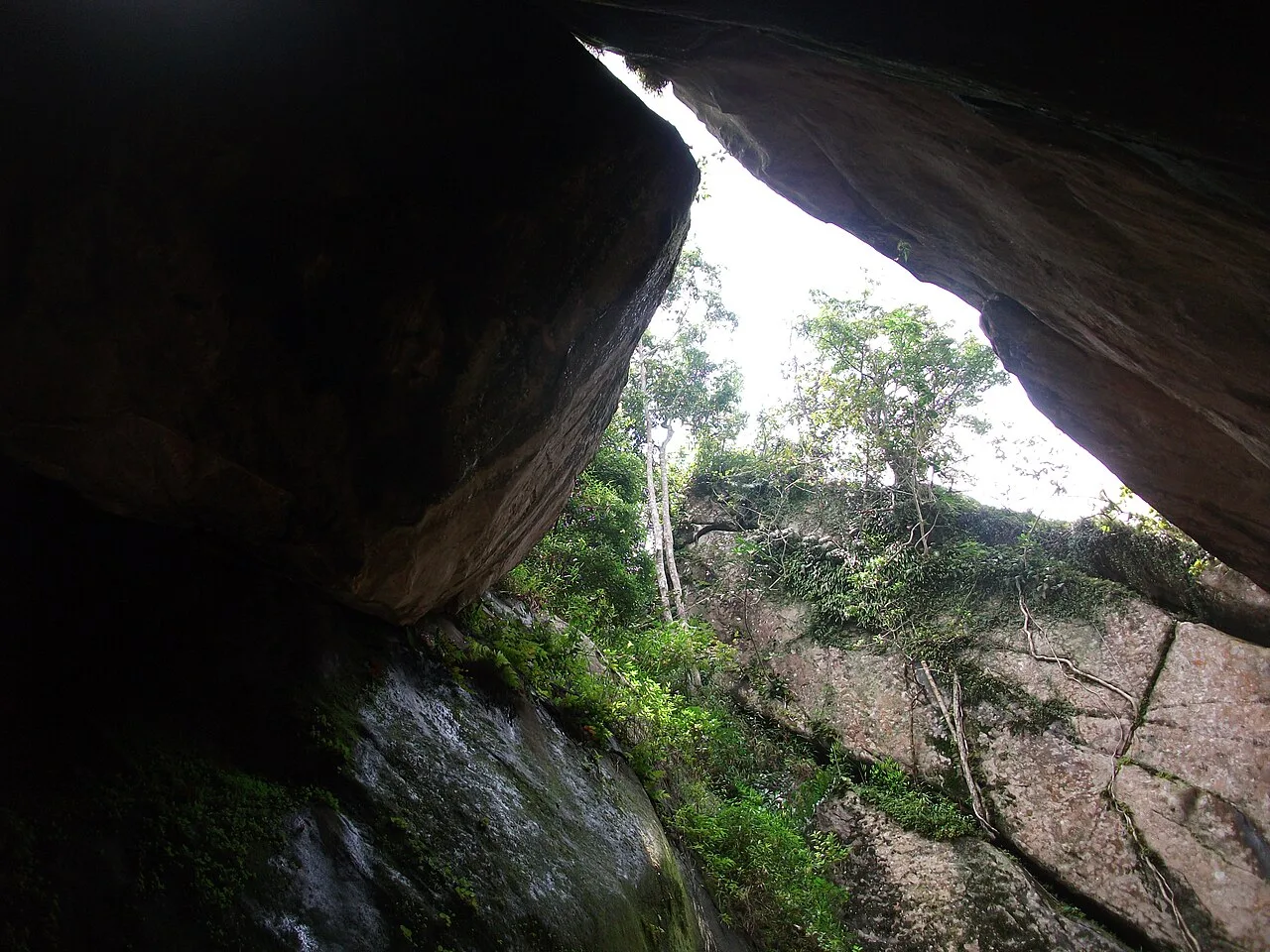
Edakkal caves
Edakkal is a pair of natural caves on Ambukutty Mala in Wayanad, Kerala. Visitors come to see engravings associated with prehistoric settlement in the region.
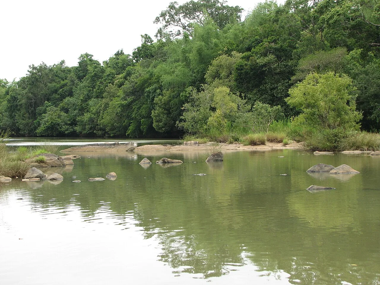
Kuruva Island (Kuruvadweep)
Kuruvadweep is a protected, forested river delta in Wayanad, Kerala, made up of uninhabited islands. Visitors come to experience its evergreen woodland and rare bird and insect life.
Lakkidi Viewpoint
Lakkidi Viewpoint is a viewing spot in Lakkidi, a village and rainforest at Wayanad’s entrance in Kerala. Visitors come to the area for bird-watching, trekking and off-roading amid its diverse natural environment.
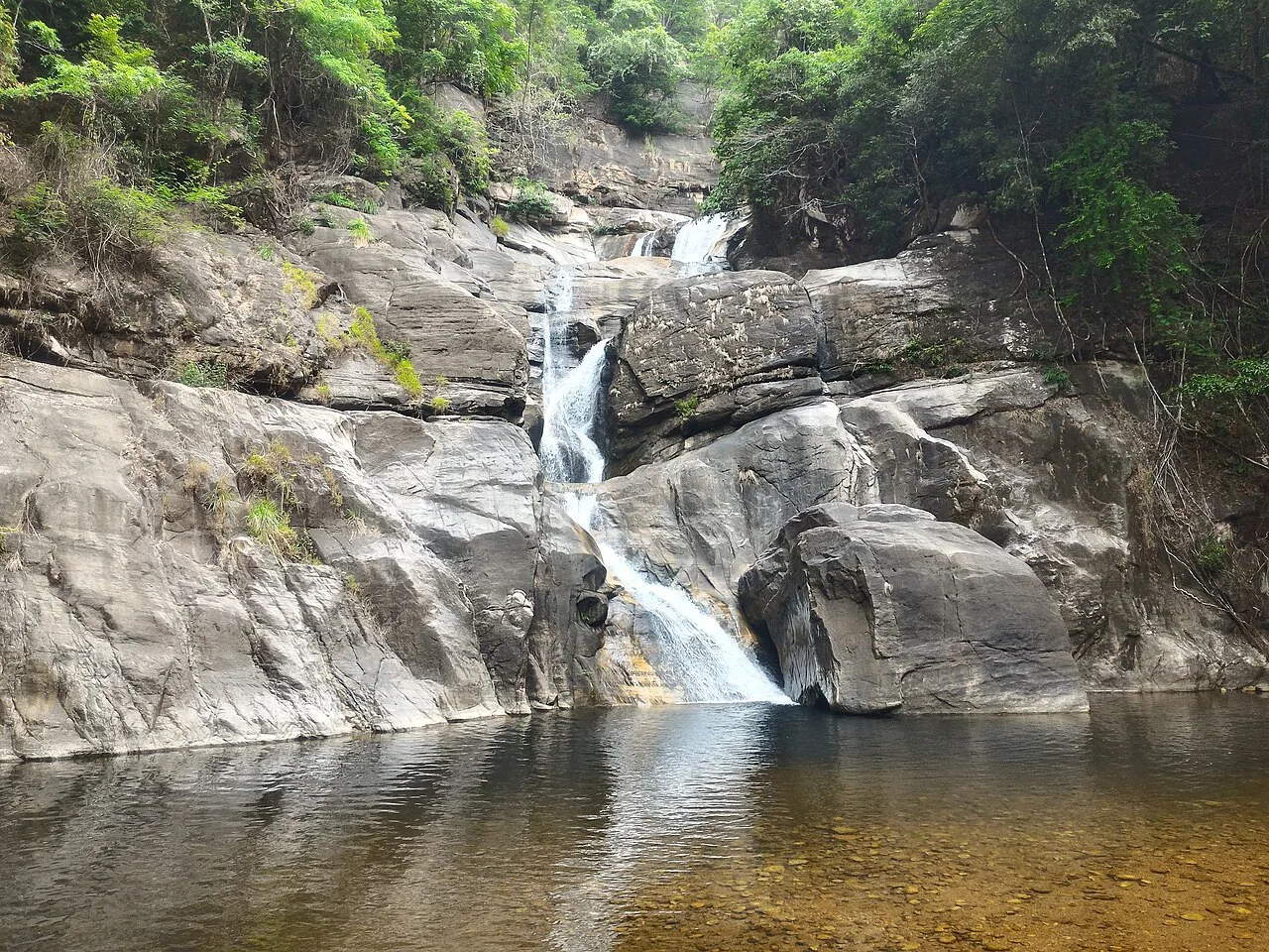
Meenmutty Falls
Meenmutty Falls is a three-tiered waterfall in Wayanad, Kerala, reached from Padinjarathara. Visitors hike through surrounding tea plantations to see the cascade, while rainy-season flows can make it dangerous.
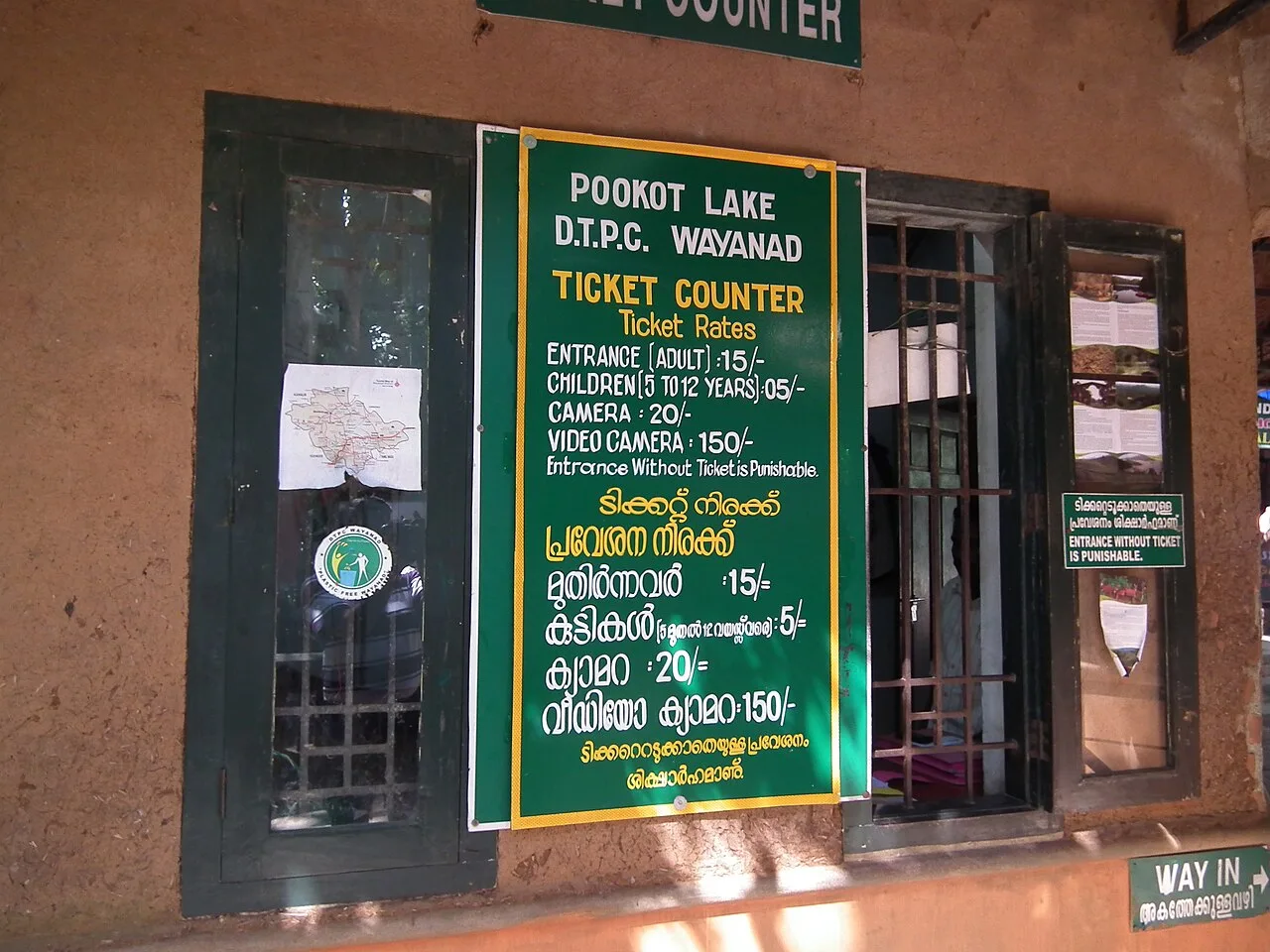
Pookode Lake
Set among evergreen woodland and mountain slopes in Kerala’s Wayanad district, Pookode Lake is a natural freshwater lake. Visitors come to this major local attraction, known for its high elevation and small size.
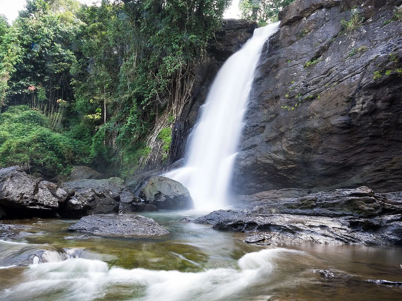
Soochipara Falls
Soochipara Falls, also called Sentinel Rock Waterfalls, is a three-level cascade in Vellarimala, Wayanad. Visitors come to see its forest surroundings and high rocky drop.
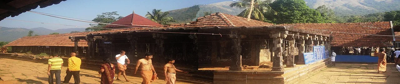
Thirunelli Temple
Thirunelli Temple, also called Tirunelli, is an ancient Vaishnava shrine in Wayanad devoted to Maha Vishnu. Visitors come to worship at this temple set in a mountain valley.
Food in Wayanad draws on Kerala and the wider Malabar region rather than a single district-specific cuisine. Breakfast commonly includes puttu with kadala curry, appam with stew, or idiyappam. Rice-based meals, vegetable preparations and coconut-rich curries are everyday staples, while Malabar biryani, pathiri and Kerala parotta with chicken or beef dishes appear on many menus. A vegetarian sadya served on a banana leaf is associated with festive occasions across Kerala. Banana chips and payasam offer familiar snacks and sweets. Small eateries may prepare only a limited daily menu, so ask what is freshly cooked and mention spice preferences.
Bamboo work is a well-established craft activity in Wayanad, with artisans producing baskets, household objects and contemporary decorative products. Thrikkaipetta is associated with organised bamboo craft initiatives. Basketry and work with locally available plant materials also feature in the livelihoods and traditions of some Adivasi communities, though practices differ between communities. Kerala handloom textiles sold in district shops belong to a wider regional tradition and should not automatically be described as Wayanad-made. When buying crafts, ask where an item was produced and favour artisan groups or outlets that clearly identify its makers.
Onam, usually celebrated in August or September, and Vishu in April are observed across Kerala, including Wayanad. Temple festivals take place at different times of year; the annual festival at Valliyoorkavu near Mananthavady is a notable regional gathering, with participation from Adivasi communities and other residents. Festival periods can bring larger local crowds, busier roads and greater demand for accommodation near the event. Dates vary by year and temple, so check locally before planning a stay around a particular celebration.
Elsewhere in Kerala
Wayanad is an inland plateau and highland district of the Western Ghats, with wooded slopes, valleys, cultivated land and forest reserves. Hills and ridges shape routes between Kalpetta, Sulthan Bathery and Mananthavady, while rivers and streams feed waterfalls and the island environment of Kuruvadweep. Rain can affect trails, river access and forest routes, and some natural sites have seasonal or official access restrictions.
Wayanad has a tropical monsoon climate moderated by its elevation. The summer months, broadly March to May, can be warm, while the southwest monsoon from around June into September brings frequent heavy rain, slippery trails and possible disruption to outdoor access. Conditions are generally drier from October through February; these months, especially the cooler winter period, are often the most comfortable for sightseeing and walks. Pack light clothing, a warm layer for evenings, sturdy footwear and sun protection. During the monsoon, bring reliable rain gear and check road and attraction conditions before setting out.
Wayanad has no railway station within the district; Kozhikode is a commonly used rail gateway, with onward travel by road. Calicut International Airport and Kannur International Airport are useful air gateways, depending on your destination within Wayanad. Road approaches connect the district with Kozhikode, Kannur, Mysuru and neighbouring parts of Tamil Nadu. Kalpetta, Sulthan Bathery and Mananthavady are important bases for bus connections and local travel. KSRTC and private buses serve major routes, while taxis and autorickshaws help with dispersed attractions. Check current services locally.
Roads link Kalpetta, Sulthan Bathery and Mananthavady with the district’s main attractions, but travel between them can take time on winding or steep sections. KSRTC and private buses serve major towns and some connecting routes; local coverage may be limited for dispersed sights. Autorickshaws are useful for shorter journeys, while taxis or hired vehicles offer more flexibility for a multi-stop day. Shared jeeps may operate on some local routes, but availability varies. Access to Kuruva Island (Kuruvadweep) is controlled and can involve designated crossings. Confirm current transport and site access locally, particularly in rainy weather.
2 days: Day 1, Lakkidi Viewpoint and Pookode Lake; sleep in Kalpetta. Day 2, Chembra Peak and Soochipara Falls; finish in Kalpetta or continue onward. 3 days: Day 1, Lakkidi Viewpoint, Pookode Lake, Banasura Sagar Dam and Meenmutty Falls; sleep in Kalpetta. Day 2, Thirunelli Temple and Kuruva Island (Kuruvadweep); sleep in Mananthavady. Day 3, Wayanad Wildlife Sanctuary and Edakkal caves; sleep in Sulthan Bathery or continue onward. 4 days: Day 1, Lakkidi Viewpoint, Pookode Lake, Banasura Sagar Dam and Meenmutty Falls; sleep in Kalpetta. Day 2, Chembra Peak and Soochipara Falls; sleep in Kalpetta. Day 3, Edakkal caves and Wayanad Wildlife Sanctuary; sleep in Sulthan Bathery. Day 4, Kuruva Island (Kuruvadweep) and Thirunelli Temple; sleep in Mananthavady.
Kalpetta is a practical base for Lakkidi, Pookode Lake, Chembra Peak and some western and central routes, with a range of hotels and homestays. Sulthan Bathery suits visits to Edakkal caves and the sanctuary’s eastern sector; Mananthavady is useful for Thirunelli Temple and northern routes. Smaller settlements have homestays and rural stays, while resorts are found in some scenic areas. Government accommodation and dharamshalas may be available in selected places, but options and booking arrangements vary; check availability before travelling.
Wear sturdy footwear on steep or uneven trails, and take care around wet rocks, waterfalls and riverbanks; obey closures and do not enter unsafe water. Weather can change quickly, with rain affecting visibility, road surfaces and access. Keep a safe distance from wildlife, follow sanctuary instructions and never feed animals. Use treated or sealed drinking water if unsure of local supplies. Mobile connectivity can be patchy in forested and remote areas, so plan journeys accordingly. Trekking and protected-area visits may require permission or be temporarily restricted; confirm current rules with official forest or site authorities before travelling.
- Kozhikodeabout 55 km
- Chamarajanagar · Karnatakaabout 59 km
- Mahe · Puducherryabout 61 km
- Malappuramabout 62 km
- Kannurabout 77 km
- Nilgiris · Tamil Naduabout 79 km
- Kodagu · Karnatakaabout 91 km
- Mysuru · Karnatakaabout 96 km
Straight-line distance between the centres of each district's destinations; road distance is longer.
Q: How many days should I spend in Wayanad? A: Two days can cover a few nearby sights, while three or four days allow more time for the district’s spread-out destinations. Q: When is the best time to visit? A: October to February is generally comfortable for sightseeing; monsoon travel can be rewarding but may limit outdoor access. Q: Where is the best base? A: Kalpetta is a convenient all-round base; Sulthan Bathery and Mananthavady suit eastern and northern itineraries. Q: How do I get to Wayanad? A: Travel by road from nearby towns and transport gateways. Kozhikode is a commonly used rail gateway, and Calicut and Kannur airports serve different parts of the district. Q: Is Wayanad suitable for families or elderly travellers? A: Yes, with a suitable pace and accessible stops, though steep trails, uneven paths and long road journeys may not suit everyone.
This page draws on our 10 destination guides for Wayanad and is updated as our team checks it.
Be the first to share photos, stories, advice or a helpful contact for Wayanad.
Loading…