Ghumoopedia — Explore, Discover, Experience
Sign in
Rollapadu Wildlife Sanctuary, near Atmakuru

City guide · Andhra Pradesh

Atmakuru

Atmakuru, also commonly written as Atmakur, is a municipal town and revenue-division headquarters in Andhra Pradesh’s Nandyal district. Its importance comes in part from its position among the Nallamala hills and forests, on road routes linking Kurnool and Nandyal with Srisailam.

Famous for

  • Gateway to Srisailam
  • Nallamala Forest setting
  • Sangameswaram confluence
  • Srisailam canal headworks
  • Regional bus connections

Why Atmakuru matters

Atmakuru, also commonly written as Atmakur, is a municipal town and revenue-division headquarters in Andhra Pradesh’s Nandyal district. Its importance comes in part from its position among the Nallamala hills and forests, on road routes linking Kurnool and Nandyal with Srisailam. Travellers heading towards the pilgrimage centre often pass through town, making it a useful stop for road journeys into this forested part of the state. Buses connect Atmakur with nearby towns and regional centres.

The surrounding landscape is a major reason to visit. Sangameswaram, a celebrated river-confluence site about 30 kilometres away, draws visitors when access and water conditions permit. The Srisailam Right Main Canal also begins in the area and carries irrigation water to several districts. Atmakur is not generally known as a large heritage or manufacturing destination; its character is chiefly that of a regional service centre and a practical base for exploring nearby roads, countryside and religious sites.
Famous for: crafts, trade & products

Atmakur is best understood as a local market and administrative centre rather than as a recognised hub for a particular textile, handicraft or GI-tagged product. No distinctive town-made saree, craft or packaged food is widely associated with it. Visitors looking for everyday goods can explore the shops and market streets around the town centre, where local businesses serve residents and people travelling through the area. Product selection and availability vary, so specialist crafts or regional souvenirs may be easier to find in larger nearby towns.

The town’s more notable regional connection is infrastructure: the Srisailam Right Main Canal begins nearby and supports irrigation across parts of Andhra Pradesh. Its road links also serve people travelling towards Srisailam and the Nallamala region. Atmakur’s civic institutions, including municipal and revenue offices, reflect its role as a service centre for surrounding settlements. There is no well-established dedicated craft market or visitor-oriented shopping district to seek out; for a visit, ordinary town shops provide the most reliable option for essentials and locally used products.

History

Atmakur’s documented present-day role is clearer than a detailed town-specific historical record. It developed as a service centre for settlements in the Nallamala region and now functions as a municipality and revenue-division headquarters in Nandyal district. Its position on routes connecting Kurnool and Nandyal with Srisailam has helped sustain its importance for administration, transport and trade.

The wider area has been shaped over centuries by the changing powers of the Deccan and south India, including major regional kingdoms and later colonial administration. Those broad political histories should not be mistaken for a documented account of Atmakur itself: reliable details about local rulers, specific colonial-era institutions or the date of the town’s expansion are limited. In recent decades, civic administration and road connectivity have defined much of its growth. The nearby canal system has also given the surrounding area a role in regional irrigation. Atmakur’s inclusion in Nandyal district reflects Andhra Pradesh’s more recent administrative reorganisation, while the town continues to serve nearby communities.

Food, festivals & culture

Atmakur shares the food culture of inland Andhra Pradesh. Rice-based meals, lentils, vegetable curries, pickles and chilli-forward preparations are common across the region; local eateries and homes may also serve familiar snacks such as pesarattu or dosa. These are regional foods rather than specialities unique to Atmakur, and menus vary between establishments. No particular sweet is firmly associated with the town.

Telugu is the principal language of everyday life, with other languages heard among visitors and residents from across the region. Ugadi is observed around the Telugu New Year in spring, while Sankranti brings harvest-season traditions in January. Dasara is celebrated in autumn, and Muslim communities mark Ramadan and the two Eids according to the lunar calendar. Worship and community life centre on local places of worship, though no single landmark shrine defines the town in the way that Srisailam does nearby. Regional devotional music and Telugu film songs are part of everyday cultural life; specific local dance or music traditions are not widely documented.

Visiting the city

The cooler months, roughly from November to February, are generally more comfortable for exploring Atmakur and the surrounding Nallamala region. Summer can be very hot, while monsoon weather may affect rural roads and access to river sites. Kurnool Airport at Orvakal is the nearest airport commonly used for the area, though onward travel by road is needed. Nandyal railway station is a useful rail connection; travellers can also check services through Kurnool depending on their route.

State-run and other buses serve Atmakur, including connections towards Kurnool, Nandyal and Srisailam. Autos and local vehicles are useful for short trips within town; arrange separate road transport for nearby attractions. The town centre is the practical place for everyday shops and services. For a wider outing, consider the road towards Srisailam or a visit to Sangameswaram, around 30 kilometres away; access there can depend on seasonal conditions.

Trips from the city

Nearest places to visit from Atmakuru

Our closest destination guides, by straight-line distance.

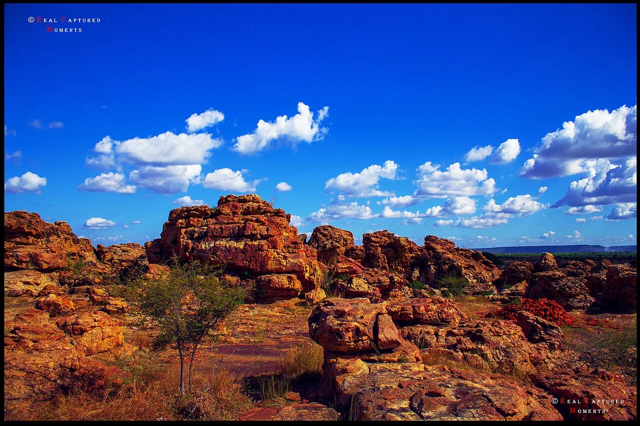
Rollapadu Wildlife Sanctuary

27 km away · Nandyal district

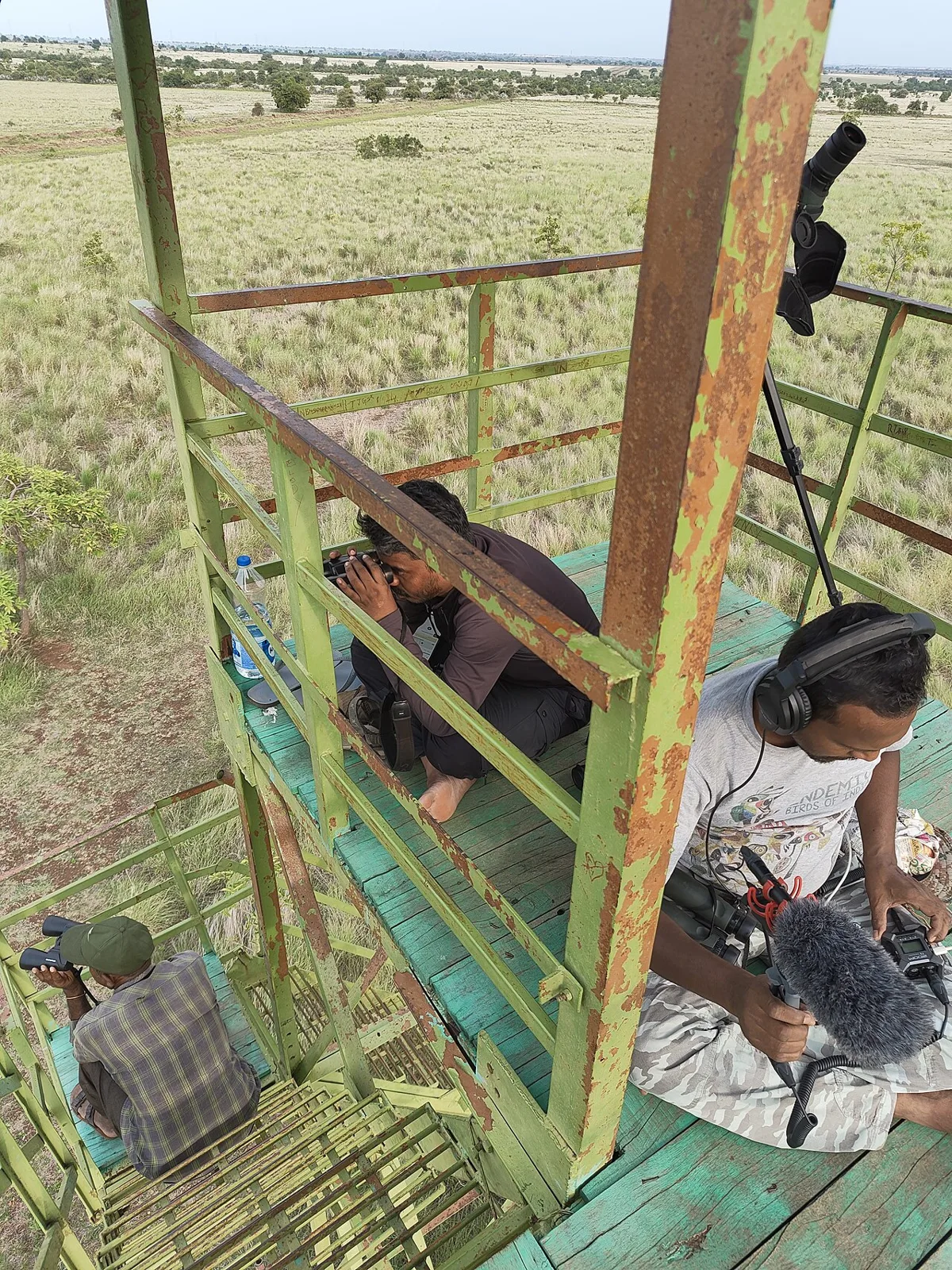
Rollapadu Wildlife Sanctuary

In Andhra Pradesh’s Nandyal district, Rollapadu is a wildlife sanctuary known chiefly as habitat for the great Indian bustard, whose numbers within the sanctuary have dropped sharply in recent years.

Srisailam (Mallikarjuna Jyotirlinga)

37 km away · Nandyal district

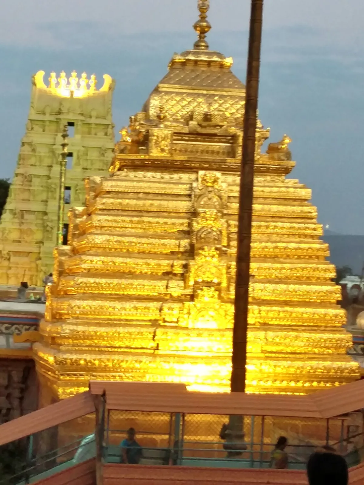
Srisailam (Mallikarjuna Jyotirlinga)

Srisailam, in Andhra Pradesh’s Nandyal district, is a census town known for the Mallikarjuna Jyotirlinga Temple. Pilgrims visit for its importance in Shaivism and Shaktism and its status as a Jyotirlinga and Shakta pitha.

Mahanandi Temple

46 km away · Nandyal district

Mahanandi Temple

Mahanandi is an Andhra Pradesh village centred on the Mahanandiswara Swamy Temple, one of the Nava Nandi shrines. Visitors come to worship and take part in the annual Maha Shivaratri festival.

Orvakal Rock Garden

49 km away · Kurnool district

Orvakal Rock Garden

Orvakal Rock Garden is a place to visit in Andhra Pradesh’s Kurnool district, associated with Orvakal village; people come to see the site identified as a rock garden.

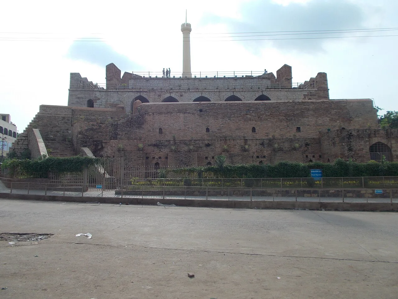
Konda Reddy Fort

58 km away · Kurnool district

Konda Reddy Fort

Konda Reddy Fort is a surviving fort structure in Kurnool, Andhra Pradesh. Visitors come to see its semi-circular bastion and tower, remnants of the city’s former fortification.

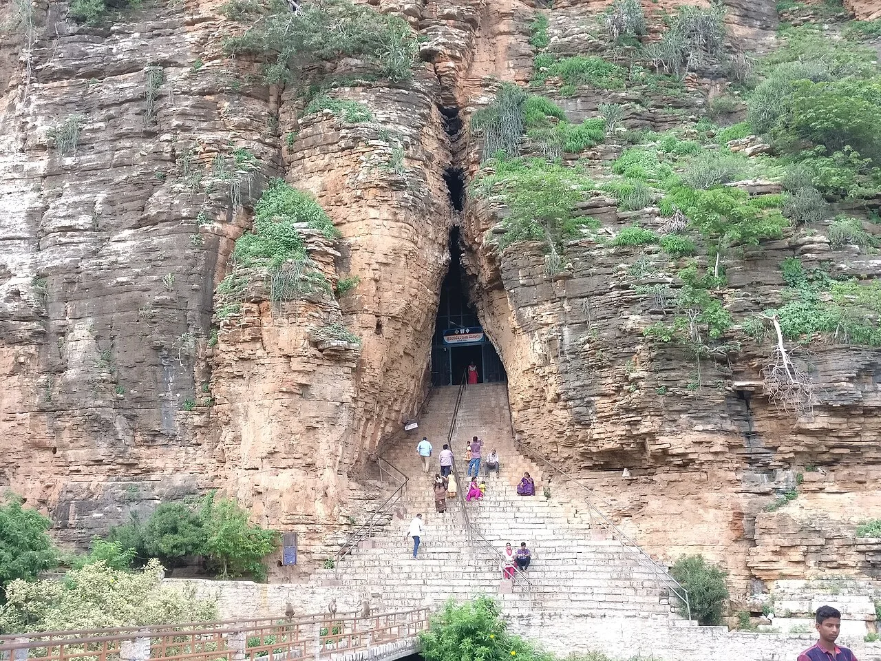
Yaganti temple

76 km away · Nandyal district

Yaganti temple

In Andhra Pradesh’s Nandyal district, Yaganti Temple is a Shiva shrine known also as Sri Yaganti Uma Maheswara Temple. Visitors come to worship Shiva at this temple.

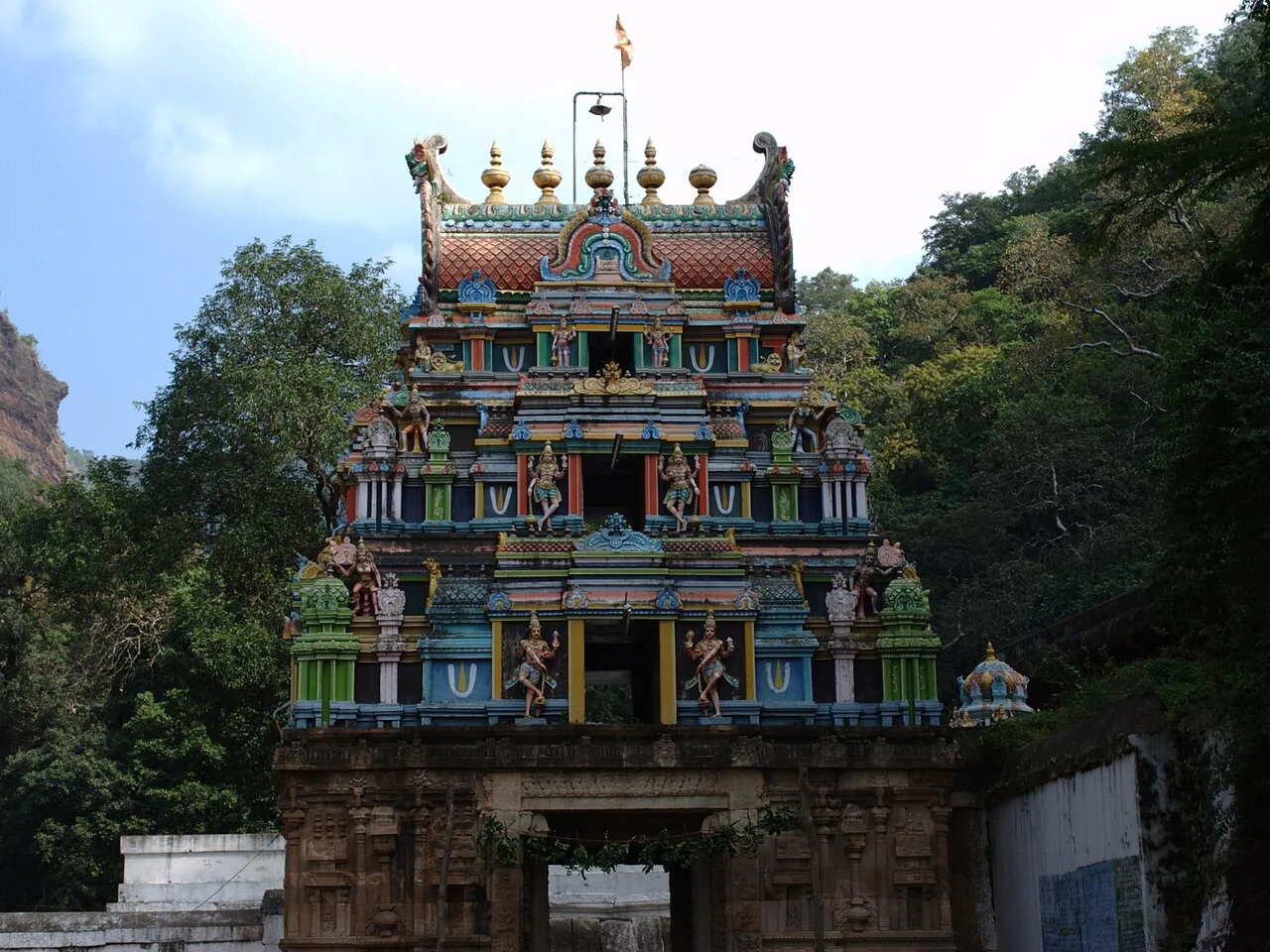
Ahobilam Nava Narasimha Temples

84 km away · Nandyal district

Ahobilam Nava Narasimha Temples

Ahobilam is a sacred settlement in Andhra Pradesh’s Nandyal district, known for its shrines honouring Narasimha. Visitors come to worship at temples located in both Lower and Upper Ahobilam.

Belum Caves

99 km away · Nandyal district

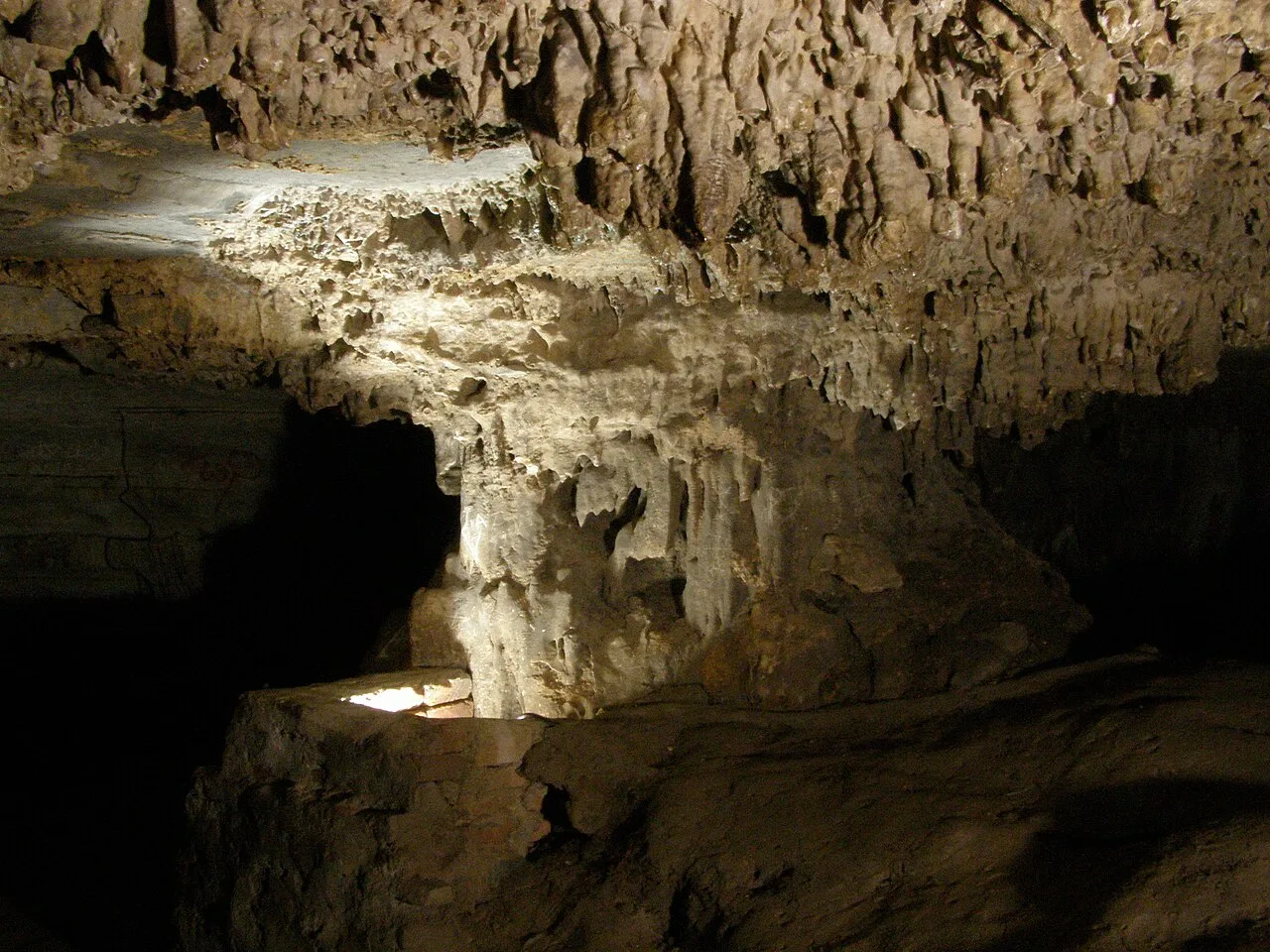
Belum Caves

Belum Caves is a large limestone cave network in Nandyal district, Andhra Pradesh. Visitors explore its underground passages and distinctive karst features, while the site also draws interest for evidence of ancient human activity.

Map

Atmakuru on the map

  1. 1Rollapadu Wildlife Sanctuary
  2. 2Srisailam (Mallikarjuna Jyotirlinga)
  3. 3Mahanandi Temple
  4. 4Orvakal Rock Garden
  5. 5Konda Reddy Fort
  6. 6Yaganti temple
  7. 7Ahobilam Nava Narasimha Temples
  8. 8Belum Caves

Andhra Pradesh

Other cities to explore