Ghumoopedia — Explore, Discover, Experience
Sign in
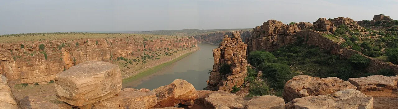
Gandikota Gorge and Fort, near Kamalapuram

City guide · Andhra Pradesh

Kamalapuram

The surrounding landscape is a defining feature. Fertile agricultural land borders the town, while the Papagni flows to its east.

Famous for

  • Papagni river landscape
  • Penna river basin
  • Surrounding agricultural land
  • Kamalapuram railway station
  • Kadapa regional connections
  • Mandal administration

Why Kamalapuram matters

The surrounding landscape is a defining feature. Fertile agricultural land borders the town, while the Papagni flows to its east. The Kunderu joins the Penna to the north, and the Papagni meets the Penna a short distance away, creating a distinctive river setting. Visitors are more likely to come for rural scenery, local life and connections through Kadapa than for a large collection of tourist attractions. Kamalapuram’s appeal lies in this combination of regional access, agriculture and a setting shaped by nearby rivers.
Famous for: crafts, trade & products

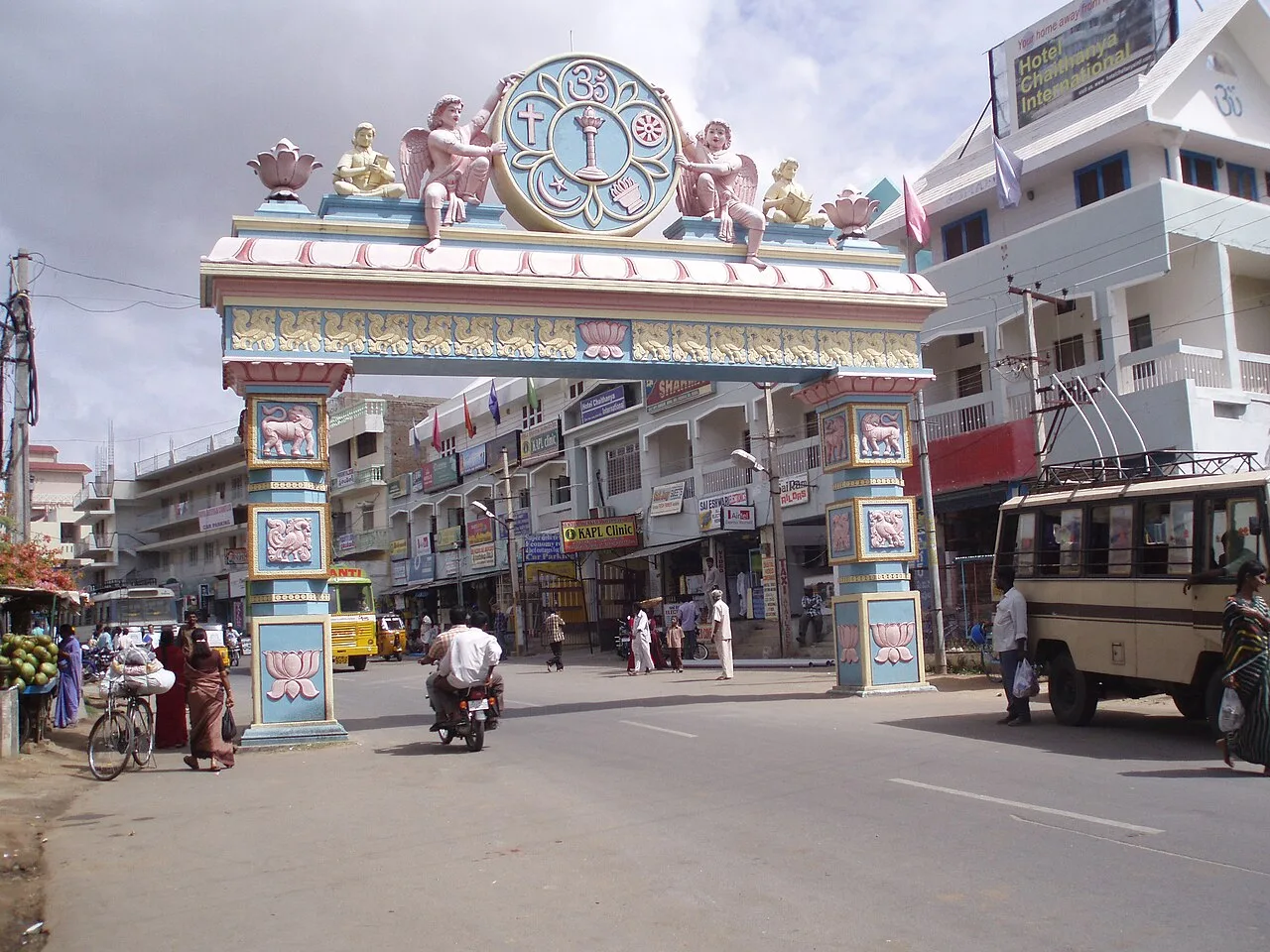
For daily shopping, explore the town’s local market and retail streets, where residents buy household essentials and locally traded goods. The area’s agricultural character is most apparent in the movement of produce between farms, village markets and larger district markets; specific products vary with local growing conditions and season. Kamalapuram is not widely associated with a named GI-tagged product or a dedicated craft quarter, so visitors seeking specialist textiles or handicrafts will find a broader selection in larger centres such as Kadapa. The town’s railway station and position on the Tirupati–Guntakal highway are important parts of its role in local trade and travel.

History

In modern administration, Kamalapuram served as a gram panchayat and became a Nagar Panchayat in 2019, incorporating nearby villages. It is also the headquarters of Kamalapuram mandal and is associated with the Kamalapuram Assembly constituency. The railway connection on the Guntakal–Renigunta line and the Tirupati–Guntakal highway have supported its continuing role as a point of access for surrounding communities. Today, its growth remains linked to administration, regional movement and the agricultural economy rather than to a single large urban industry.

Food, festivals & culture

The festival calendar follows the broader rhythms of Andhra Pradesh. Sankranti, usually in January, is a major harvest-season celebration; Ugadi marks the Telugu New Year in spring, while Dasara and Deepavali are observed in autumn. Temple festivals and household observances add to the year’s religious life, with devotional music and regional forms of dance appearing at community celebrations. Local temples are places of worship and gathering; visitors should ask locally about festival events and customary etiquette.

Visiting the city

Begin in the central market area to see the town’s everyday commercial life, then explore the agricultural outskirts and river landscapes around Kamalapuram. The eastern side is associated with the Papagni, while the nearby meeting of the Papagni and Penna offers a point of interest for visitors drawn to the region’s geography. Kadapa makes a convenient nearby centre for additional services and onward travel. Check local conditions before heading to riverside areas, especially during or after heavy rain.

Trips from the city

Nearest places to visit from Kamalapuram

Our closest destination guides, by straight-line distance.

21 km away · YSR district

Ameen Peer Dargah

Ameen Peer Dargah is a Sufi shrine in Kadapa, Andhra Pradesh, within YSR district. People visit it as a place of religious devotion.

Gandikota Gorge and Fort

48 km away · YSR district

Gandikota Gorge and Fort

Gandikota is a village and historic fort beside the Penna in Andhra Pradesh. Visitors come to see the gorge and fort, shaped by successive ruling powers.

Ahobilam Nava Narasimha Temples

60 km away · Nandyal district

Ahobilam Nava Narasimha Temples

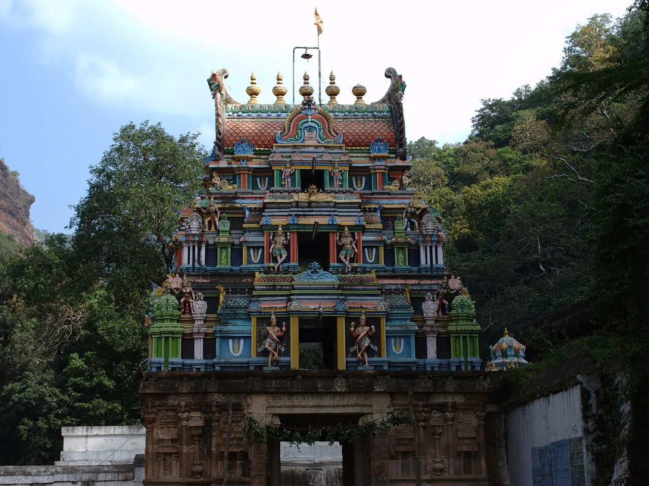
Ahobilam is a sacred settlement in Andhra Pradesh’s Nandyal district, known for its shrines honouring Narasimha. Visitors come to worship at temples located in both Lower and Upper Ahobilam.

Belum Caves

81 km away · Nandyal district

Belum Caves

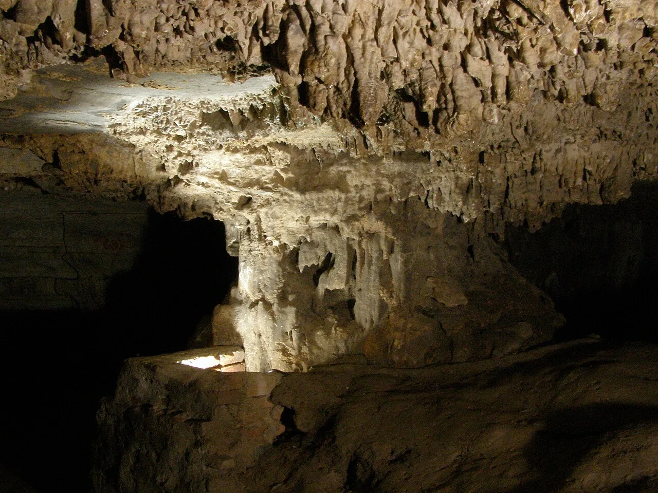
Belum Caves is a large limestone cave network in Nandyal district, Andhra Pradesh. Visitors explore its underground passages and distinctive karst features, while the site also draws interest for evidence of ancient human activity.

85 km away · Sri Potti Sriramulu Nellore district

Penchalakona Temple

Penchalakona Temple is a place of worship in Andhra Pradesh. Visitors come to the temple in Penchalakona, a village west of Nellore.

Mahanandi Temple

97 km away · Nandyal district

Mahanandi Temple

Mahanandi is an Andhra Pradesh village centred on the Mahanandiswara Swamy Temple, one of the Nava Nandi shrines. Visitors come to worship and take part in the annual Maha Shivaratri festival.

Yaganti temple

101 km away · Nandyal district

Yaganti temple

In Andhra Pradesh’s Nandyal district, Yaganti Temple is a Shiva shrine known also as Sri Yaganti Uma Maheswara Temple. Visitors come to worship Shiva at this temple.

Puttaparthi (Prasanthi Nilayam)

104 km away · Sri Sathya Sai district

Puttaparthi (Prasanthi Nilayam)

Puttaparthi is a municipality and the administrative centre of Sri Sathya Sai district in Andhra Pradesh. Visitors come for Prasanthi Nilayam and the town’s connection with Sathya Sai Baba.

Map

Kamalapuram on the map

  1. 1Ameen Peer Dargah
  2. 2Gandikota Gorge and Fort
  3. 3Ahobilam Nava Narasimha Temples
  4. 4Belum Caves
  5. 5Penchalakona Temple
  6. 6Mahanandi Temple
  7. 7Yaganti temple
  8. 8Puttaparthi (Prasanthi Nilayam)

Andhra Pradesh

Other cities to explore