Ghumoopedia — Explore, Discover, Experience
Sign in
Nanakmatta Sahib, near Khatima

City guide · Uttarakhand

Khatima

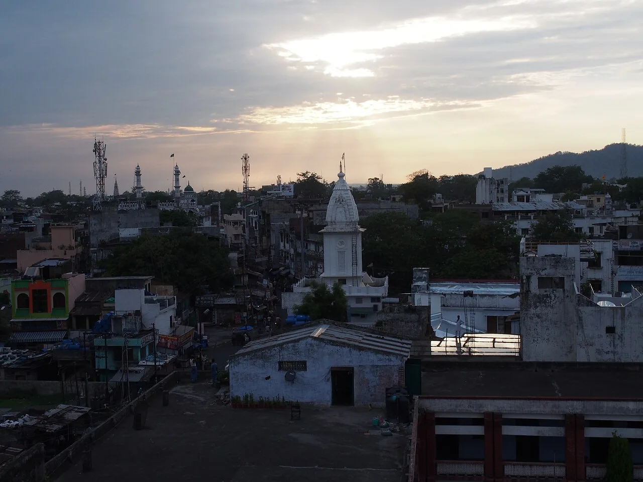
Khatima is a municipal town in Udham Singh Nagar district, in the fertile Terai belt of Uttarakhand. Its importance is primarily regional: it serves as a market and service centre for nearby villages and farms, with road and rail links connecting communities across the southern part of the state.

Famous for

  • Terai farming and trade
  • Canal-based hydropower
  • Gateway toward Nepal
  • Udham Singh Nagar town

Why Khatima matters

Khatima is a municipal town in Udham Singh Nagar district, in the fertile Terai belt of Uttarakhand. Its importance is primarily regional: it serves as a market and service centre for nearby villages and farms, with road and rail links connecting communities across the southern part of the state. Its position toward the Nepal border also gives it a role in travel and trade in this frontier region.

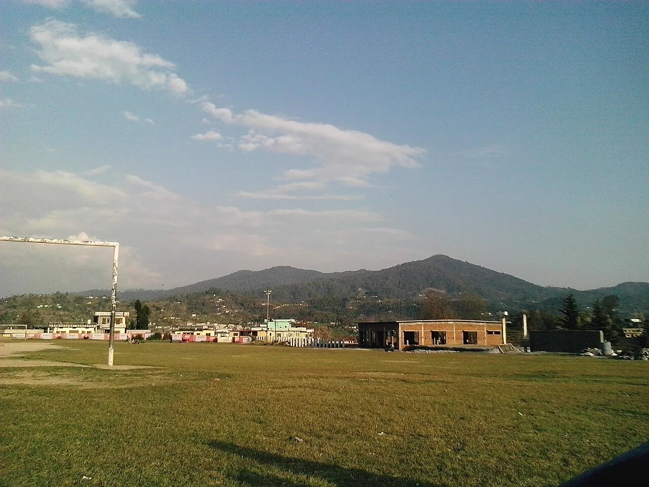
Khatima is not chiefly known as a monument-filled tourist city or as a centre for a nationally recognised craft. Visitors are more likely to use it as a practical base for local journeys, agricultural markets and excursions in the wider Terai. The surrounding landscape is shaped by cultivated fields, waterways and a warm, lowland climate. The town is also associated with canal-based hydropower. For travellers, its appeal lies in seeing everyday life in a working Uttarakhand market town and in its connections to nearby places such as Nanakmatta and Banbasa.
Famous for: crafts, trade & products

Khatima’s commercial life is centred on everyday trade rather than a signature textile, handicraft or specialist shopping district. The town’s bazaar serves residents and villages in its agricultural hinterland, with shops selling household goods, clothing, prepared foods and daily necessities. Nearby farms contribute crops such as rice, wheat and sugarcane to the wider regional economy; produce and farm supplies are part of the area’s trade, though availability varies by season.

Khatima is not widely identified with a particular GI-tagged product, distinctive saree tradition or established craft market. Visitors looking for local goods can browse the central market for regional snacks and practical items, but should not expect a dedicated artisan quarter. The town is also associated with canal-based hydropower infrastructure, an important part of its modern working landscape rather than a visitor-oriented industrial attraction. For a broader range of regional shopping, larger towns in Udham Singh Nagar offer more options. Khatima’s value is chiefly as a local service and trading centre, not as a specialist destination for crafts or luxury goods.

History

Khatima developed as a settlement and market town in the Terai, a lowland belt whose forests and wetlands were progressively cleared and brought into cultivation. Under British rule, the Terai came within the administration of the Kumaon region; forest management, transport links and agricultural expansion shaped the area, although Khatima is not known for a major royal court or a prominent colonial-era monument.

After India’s independence, settlement and farming expanded across the surrounding plains, helping local market towns grow. Khatima’s roads, railway connection and role serving nearby agricultural communities supported its development as a regional centre. It is now part of Udham Singh Nagar district, formed in 1995, and the state of Uttarakhand, established in 2000. Municipal services, trade and canal-based hydropower reflect the town’s modern development. Its history is best understood through the wider transformation of the Terai from a sparsely settled landscape into a productive, connected agricultural region.

Food, festivals & culture

Khatima’s everyday culture reflects the diverse Terai, where communities with connections to the Kumaon hills and the plains live alongside one another. Hindi is widely used; Kumaoni, Punjabi, Urdu and other regional languages are also heard. Meals are generally based on familiar north Indian staples such as rice, wheat breads, lentils and seasonal vegetables. Sweets and snacks are available in local shops, but Khatima is not especially known for a single distinctive dish or confection.

Diwali and Holi are celebrated in autumn and spring, while Navratri, Eid and Gurpurab are also observed by local communities. Religious life is visible in the town’s temples, mosques and gurdwaras. Music and dance at family or community gatherings draw on both Kumaoni and plains traditions; there is no single performance style that defines Khatima. Nearby Nanakmatta is an important Sikh pilgrimage destination and can be included in a wider regional visit. Festival dates follow the lunar calendar and vary from year to year.

Visiting the city

The cooler, drier months from roughly October to March are generally the most comfortable for visiting. Summers can be hot, while the monsoon season brings heavier rain and may make road journeys slower. Pantnagar Airport is the nearest airport; Khatima Railway Station serves the town by rail. Check current transport connections before setting out, as services and onward links can change.

Auto-rickshaws and local taxis are practical for getting around town, while buses and hired vehicles connect Khatima with other settlements in the region. The central bazaar is a useful area to explore on foot for shops and everyday local life. Visitors can also plan regional outings toward Nanakmatta or Banbasa; check current access requirements before travelling toward the Nepal border. Khatima works best as a convenient base rather than a destination with a concentrated sightseeing district.

Trips from the city

Nearest places to visit from Khatima

Our closest destination guides, by straight-line distance.

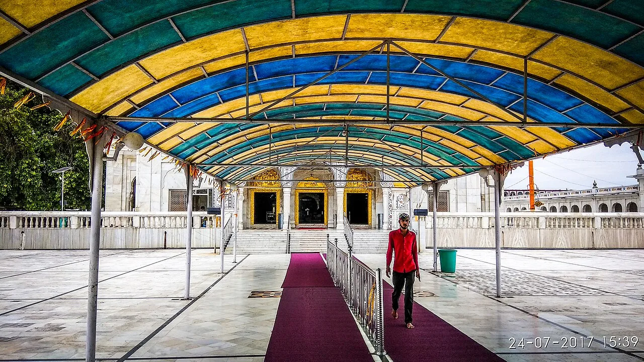
Nanakmatta Sahib

16 km away · Udham Singh Nagar district

Nanakmatta Sahib

Nanakmatta Sahib is a Sikh pilgrimage site and namesake of a town in Uttarakhand. Visitors come to the gurdwara, linked by Sikh tradition to Guru Nanak’s visit and religious discussion.

Champawat

47 km away · Champawat district

Champawat

Champawat is a town and Nagar Palika Parishad in Uttarakhand, India, and the administrative centre of its district. Visitors may be interested in its former role as the capital of the Kumaon Kingdom.

Baleshwar Temple

48 km away · Champawat district

Baleshwar Temple

Baleshwar Temple is a historic Shiva shrine in Champawat, Uttarakhand. Visitors can see its stone carving and learn about its links to the Chand rulers.

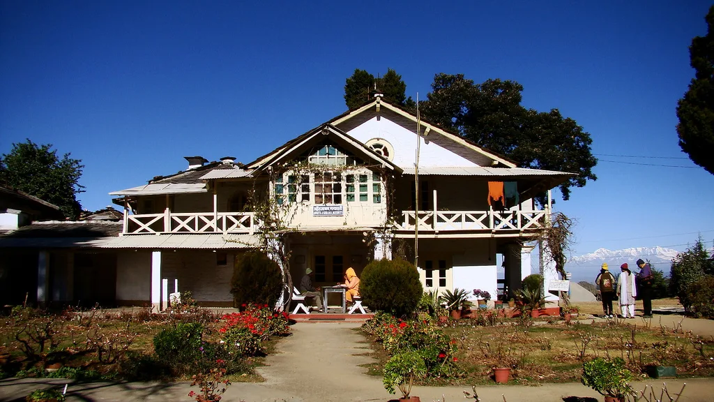
Advaita Ashrama, Mayavati

51 km away · Champawat district

Advaita Ashrama, Mayavati

Advaita Ashrama in Mayavati is a Ramakrishna Math institution centred on Advaita Vedanta. Visitors may learn about its spiritual practice, explore its publications and learn of its charitable work.

Haldwani

55 km away · Nainital district

Haldwani

Haldwani, in Uttarakhand’s Nainital district, is Kumaon’s largest city and the state’s third most populous. Visitors come for its commercial centre and as a gateway to the Kumaon hills.

Rudrapur

56 km away · Udham Singh Nagar district

Rudrapur

Rudrapur is the administrative centre of Udham Singh Nagar in Uttarakhand and an important industrial and educational hub. People come for its administrative, employment and study-related connections.

Lohaghat

57 km away · Champawat district

Lohaghat

Lohaghat is a town and nagar palika in Uttarakhand’s Champawat district. Its cultural events, including Holi Rang Mahotsav, Devidhar Mela and an old Ramleela tradition, draw interest.

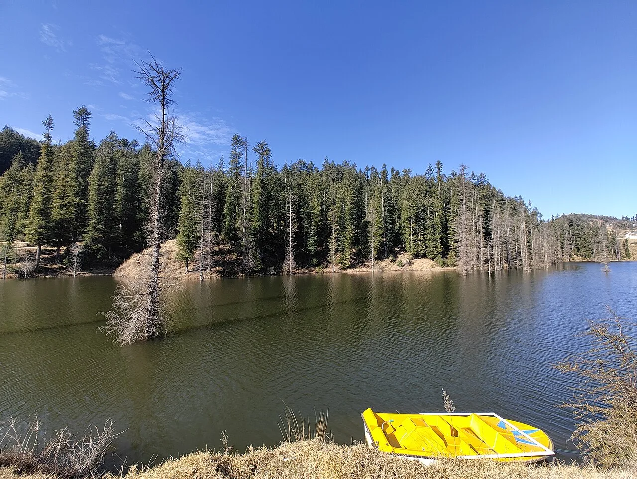
Naukuchiatal

58 km away · Nainital district

Naukuchiatal

Naukuchiatal is a lakeside hill station in Kumaon’s Nainital district, Uttarakhand, named for its nine-cornered lake. People visit for the lake and its annual Escape festival.

Map

Khatima on the map

  1. 1Nanakmatta Sahib
  2. 2Champawat
  3. 3Baleshwar Temple
  4. 4Advaita Ashrama, Mayavati
  5. 5Haldwani
  6. 6Rudrapur
  7. 7Lohaghat
  8. 8Naukuchiatal

Uttarakhand

Other cities to explore