Ghumoopedia — Explore, Discover, Experience
Sign in
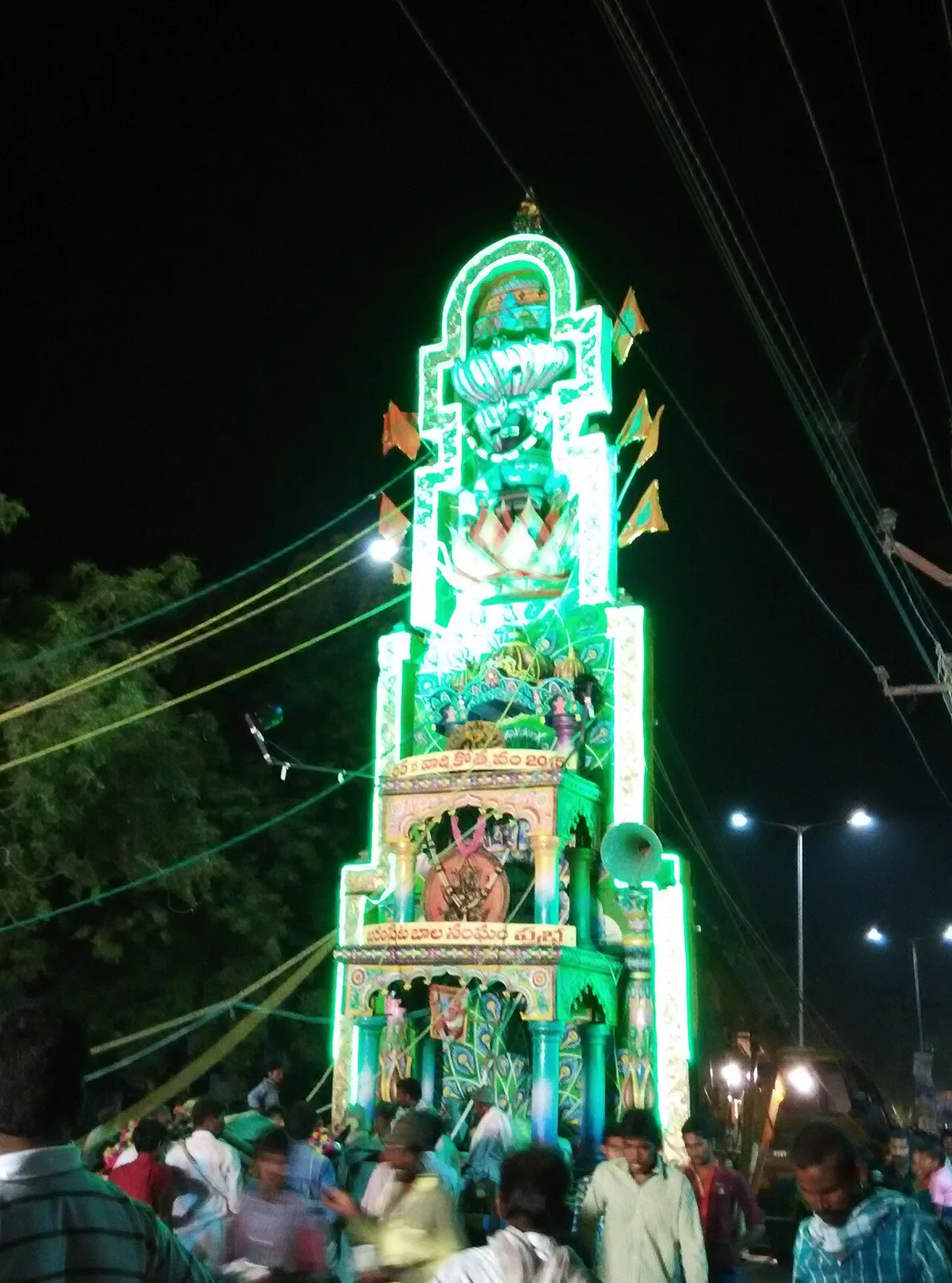
Kotappakonda Temple, near Chilakaluripet

City guide · Andhra Pradesh

Chilakaluripet

Chilakaluripet, also called Chilakaluripeta, is a busy town in Palnadu district in the Coastal Andhra region. As the headquarters of Chilakaluripet Mandal, it serves nearby settlements with shops, services and administrative offices.

Famous for

  • Palnadu regional centre
  • NH16 road connections
  • Mandal headquarters
  • Telugu market-town life

Why Chilakaluripet matters

Chilakaluripet, also called Chilakaluripeta, is a busy town in Palnadu district in the Coastal Andhra region. As the headquarters of Chilakaluripet Mandal, it serves nearby settlements with shops, services and administrative offices. Its position on National Highway 16 makes it a practical stop on journeys between Guntur and towns farther south, as well as a useful road gateway to the Palnadu interior.

The town’s appeal is less about a single landmark or resort-style attraction and more about everyday Andhra life: a lively commercial centre, Telugu-speaking neighbourhoods and access to the surrounding agricultural region. Visitors passing through can explore local streets, sample familiar Andhra meals and see the rhythms of a working market town. Chilakaluripet is also connected to the wider region through water supplied from the Nagarjuna Sagar Right Canal. For travellers, it is best understood as a convenient service centre and transport stop, rather than as a destination with a large cluster of formal tourist sights.
Famous for: crafts, trade & products

Chilakaluripet is primarily known as a regional centre for trade and services, rather than for a signature textile, handicraft or nationally recognised GI-tagged product. Shops and everyday markets serve residents and people from surrounding villages, with groceries, clothing, household goods and locally traded produce forming the usual mix. Central commercial streets and the busy road corridor are the most practical places to browse and buy daily necessities.

The town sits in an agricultural region, so local commerce is closely linked to the needs of nearby farming communities. However, specific crops and processed goods should not be treated as exclusive Chilakaluripet specialties. Visitors seeking distinctive regional crafts or a particular GI-tagged product may find a wider selection in larger centres elsewhere in Andhra Pradesh. Chilakaluripet’s better-known commercial role is its combination of local retail, services and highway-side businesses. For a sense of that role, walk through the town centre or browse the shops around its main transport routes; these are working neighbourhoods, not a curated craft-market district.

History

Chilakaluripet developed as a settlement and local market centre in the Palnadu region. Its location on a route through coastal Andhra helped it serve nearby villages and, over time, supported its growth as a transport and administrative hub. The town is the headquarters of Chilakaluripet Mandal within Narasaraopet Revenue Division.

During British rule, this part of the region was administered within the Madras Presidency. After independence, it became part of Andhra State, formed in 1953, and then Andhra Pradesh, established in 1956. These administrative changes accompanied the wider development of roads, public services and regional trade. Chilakaluripet’s modern growth has been closely tied to its position on National Highway 16 and its role in serving the surrounding countryside. It was part of Guntur district before Palnadu district was formed in 2022. The town is not generally associated with a single ruling dynasty or a major surviving royal complex, so its story is best understood through its regional and civic development.

Food, festivals & culture

Telugu is the main language of daily life, and the town’s food and customs reflect the broader traditions of Andhra Pradesh. Local eateries commonly serve rice-based meals, spicy curries, pickles and snacks; familiar dishes such as pesarattu and pulihora are found across the region. Sweets vary by shop and season, so Chilakaluripet is better approached as a place to try everyday Andhra cooking than as the home of one celebrated local confection.

Sankranti, usually celebrated in January, is an important harvest-season festival, while Ugadi in March or April marks the Telugu New Year. Dasara and Deepavali are also widely observed, with worship, family gatherings and festive decorations. Hindu temples serve as neighbourhood centres for prayer and festival activity; visitors can ask locally about current services and customs. Telugu devotional music and popular film songs are part of everyday public culture, while classical and folk dance traditions belong to the wider Andhra cultural landscape. Festival dates follow the lunar calendar and vary from year to year.

Visiting the city

The cooler, drier months from about November to February are generally the most comfortable for visiting; summers can be very hot, and the monsoon brings rain. Vijayawada International Airport is the nearest major airport. Narasaraopet railway station is a useful nearby rail connection, while Guntur Junction offers a larger rail hub. Check onward connections before travelling, as the final leg to town is by road.

Buses and taxis connect Chilakaluripet with nearby towns, and local auto-rickshaws are useful for short trips. The town centre is the best area to explore on foot for everyday shops and food, while the National Highway 16 corridor shows its role as a regional transport stop. Allow time for traffic around the main roads, particularly when arriving by bus or car.

Trips from the city

Nearest places to visit from Chilakaluripet

Our closest destination guides, by straight-line distance.

Kotappakonda Temple

15 km away · Guntur district

Kotappakonda Temple

A Hindu pilgrimage destination in Palnadu district, Andhra Pradesh, Kotappakonda is visited for the Trikoteswara Swamy Temple, a shrine to Shiva on the hill.

21 km away · Guntur district

Kondaveedu Fort

Kondaveedu Fort is a hill stronghold in Andhra Pradesh, known for its association with the Reddy dynasty and a succession of rulers. Visitors explore its ruined fortifications and the remains of magazines and storehouses.

Suryalanka Beach

46 km away · Bapatla district

Suryalanka Beach

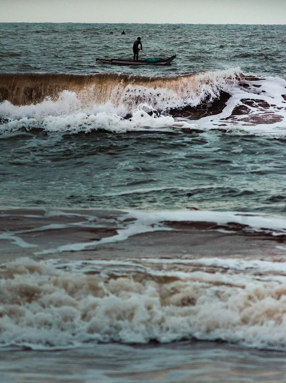
Suryalanka Beach, also called Bapatla Beach, is a coastal destination in Andhra Pradesh’s Bapatla district, visited for its Bay of Bengal shoreline and nearby resorts.

Amaravati Mahachaitya (Great Stupa)

58 km away · Guntur district

Amaravati Mahachaitya (Great Stupa)

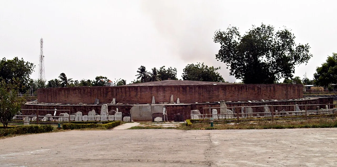
Amaravati Mahachaitya is the remains of a major Buddhist stupa in Andhra Pradesh. Visitors come to see its archaeological remains and learn about its influential sculpture and history.

Undavalli Caves

63 km away · NTR district

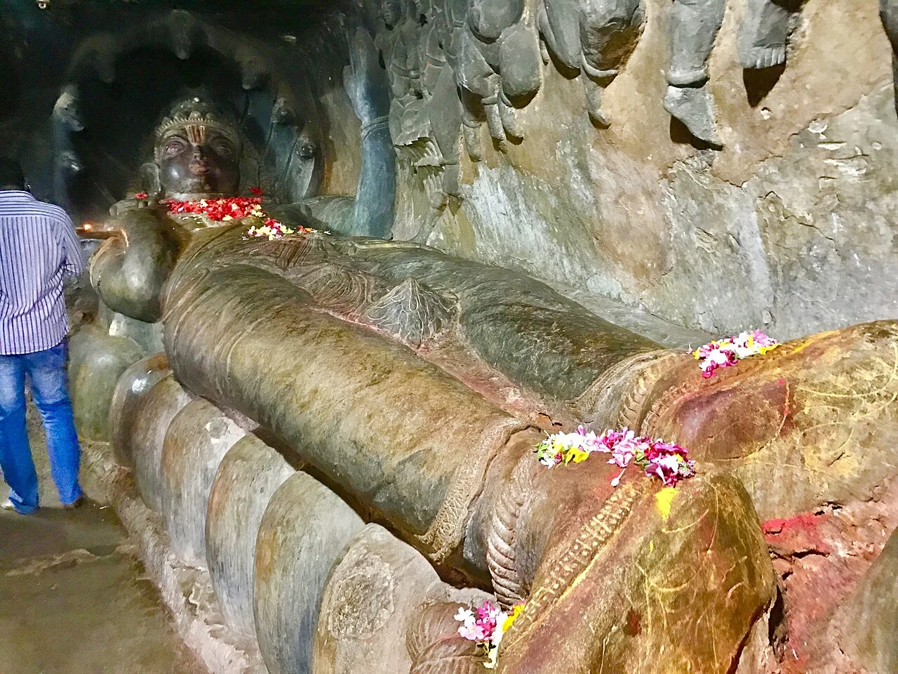
Undavalli Caves

Undavalli Caves is a monolithic rock-cut site in Andhra Pradesh, drawing interest for its sandstone carvings and association with the Vishnukundina period.

Bhavani Island

65 km away · Krishna district

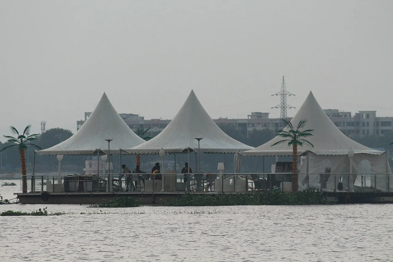
Bhavani Island

Bhavani Island is a large river island in the Krishna River at Vijayawada, Andhra Pradesh. Visitors can enjoy its recreational attractions, from mazes and cycling to sports simulators.

Prakasam Barrage

66 km away · NTR district

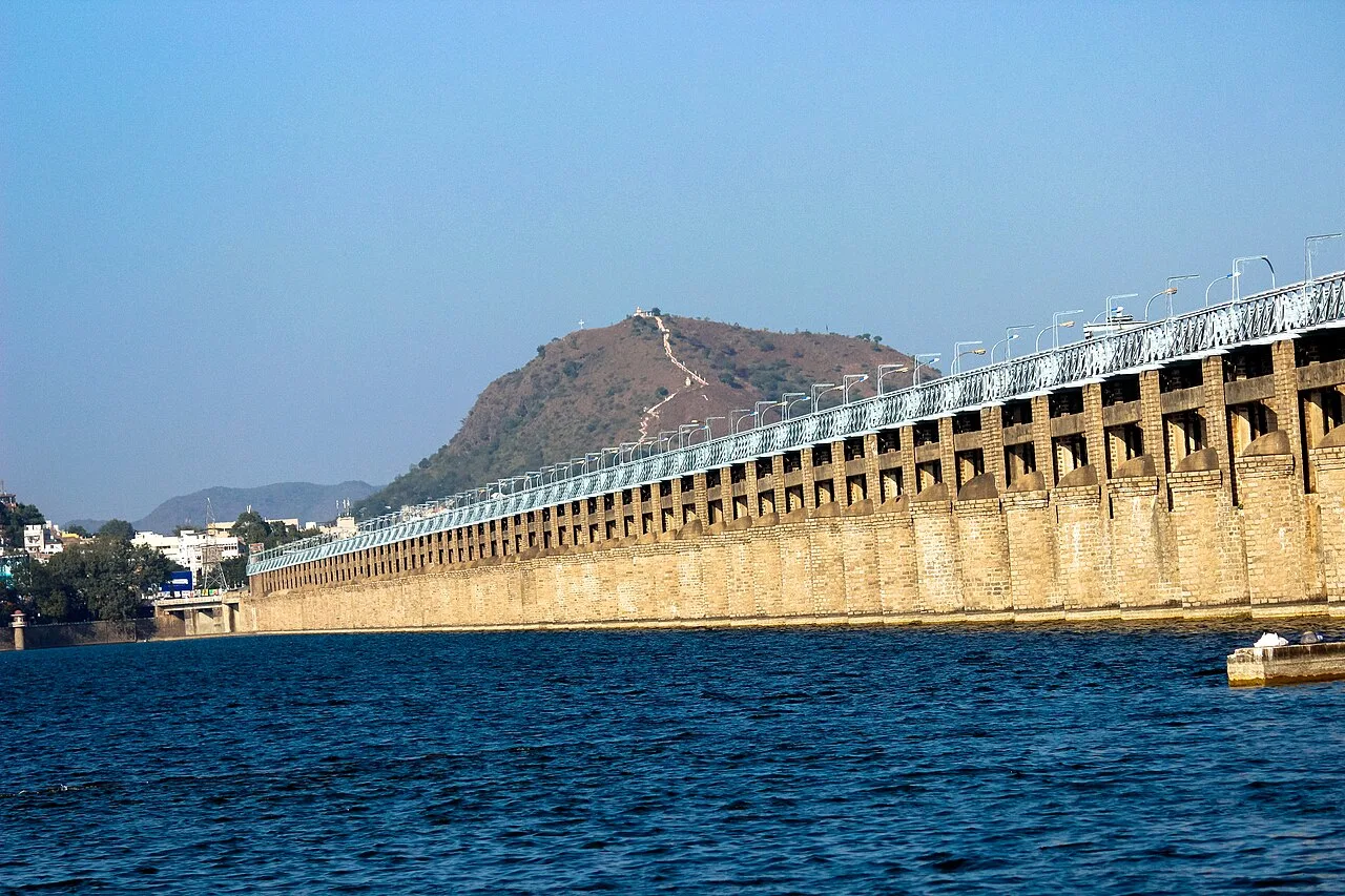
Prakasam Barrage

Prakasam Barrage is a tidal crossing on the Krishna River in Andhra Pradesh, linking Vijayawada and Guntur districts. Visitors can see its road span, the lake held by its wall and canals crossing Vijayawada.

Bapu Museum

68 km away · NTR district

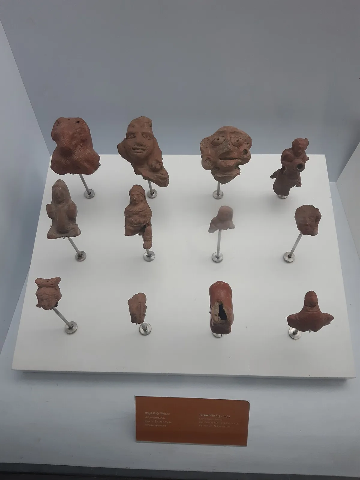
Bapu Museum

Bapu Museum is an archaeological museum in Vijayawada, housed in a century-old Indo-European-style building. Visitors explore its sculptures, paintings and artefacts linked to Buddhist and Hindu heritage.

Map

Chilakaluripet on the map

  1. 1Kotappakonda Temple
  2. 2Kondaveedu Fort
  3. 3Suryalanka Beach
  4. 4Amaravati Mahachaitya (Great Stupa)
  5. 5Undavalli Caves
  6. 6Bhavani Island
  7. 7Prakasam Barrage
  8. 8Bapu Museum

Andhra Pradesh

Other cities to explore