Ghumoopedia — Explore, Discover, Experience
Sign in
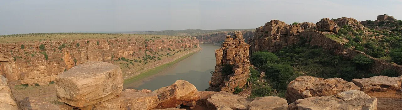
Gandikota Gorge and Fort, near Jammalamadugu

City guide · Andhra Pradesh

Jammalamadugu

Jammalamadugu is a municipality and administrative centre in YSR Kadapa district, serving residents and businesses across the surrounding mandal and revenue division. Its position in the district makes it a useful regional stop, while its strongest draw for visitors is its proximity to historic sites and the dramatic landscape of the Pennar River valley.

Famous for

  • Gandikota Fort nearby
  • Pennar River gorge
  • Historic regional temples
  • Jammalamadugu revenue division
  • Kadapa stone region

Why Jammalamadugu matters

Jammalamadugu is a municipality and administrative centre in YSR Kadapa district, serving residents and businesses across the surrounding mandal and revenue division. Its position in the district makes it a useful regional stop, while its strongest draw for visitors is its proximity to historic sites and the dramatic landscape of the Pennar River valley.

The best-known excursion is Gandikota, famed for its fort and the gorge carved by the Pennar. The wider area also has old temples and other heritage sites, giving the town appeal for travellers interested in South Indian history and architecture. Jammalamadugu itself offers everyday town life rather than a large, purpose-built tourist district: visitors can find local shops, eateries and services before exploring the surrounding countryside. Telugu is central to daily life, and local religious and seasonal celebrations reflect the wider cultural traditions of Rayalaseema. The town’s importance today rests on its administrative role and its access to the district’s heritage landscape.
Famous for: crafts, trade & products

Jammalamadugu is not widely identified with a signature saree, craft or GI-tagged product. Its shops and market streets mainly serve everyday needs for the town and nearby communities, with clothing, household goods, groceries and locally prepared foods available through ordinary retailers. Visitors looking for souvenirs are more likely to find general regional items than a distinct local craft tradition.

The wider Kadapa region is associated with Kadapa stone, a dark limestone used in flooring and construction. This is a building material rather than a small craft souvenir, and specialist stone merchants or suppliers are the appropriate places to enquire about it. Trade in Jammalamadugu is primarily local and practical; it is not known as a major textile centre or destination shopping market. For visitors, the most meaningful connection between local commerce and heritage is often through the services and food shops in town before a trip to nearby historic sites. Those seeking a specific handloom, craft or certified regional product should check its origin and availability with local sellers rather than assume it is made in Jammalamadugu.

History

Jammalamadugu’s history is closely connected with the settlement and political importance of the surrounding Pennar valley. Nearby Gandikota developed as a strategic fortified site overlooking the river gorge. Its successive periods of rule included the Vijayanagara era, when the Pemmasani Nayakas were associated with the fort, followed by later Deccan powers. The surviving fortifications and religious structures around the area reflect this layered past.

During British rule, the region formed part of the Cuddapah district within the Madras Presidency. After independence and the reorganisation of states, it became part of Andhra Pradesh; the town later served as an administrative centre for its mandal and revenue division. Modern Jammalamadugu has grown as a municipal town supporting nearby settlements through public services, trade and transport. Its contemporary identity combines this practical regional role with access to the area’s older forts, temples and archaeological heritage.

Food, festivals & culture

Food in Jammalamadugu follows the broader Rayalaseema and Andhra style. Rice-based meals, lentils, vegetable curries, pickles and dishes with a generous use of chilli are common. Local eateries serve everyday South Indian fare, while sweets and snacks are usually found at bakeries and sweet shops; the town is not especially associated with a single signature dish. Telugu is the principal language of daily life, and Urdu is also used by some residents.

Ugadi, usually in March or April, and Sankranti in January are important seasonal festivals, often marked with family gatherings, special foods and community observances. Dasara is celebrated in autumn, while Ramadan and Eid are observed by Muslim residents. Temple festivals and worship form part of local religious life, alongside mosques and other places of worship. Music and folk performance draw on wider Telugu and Rayalaseema traditions, particularly during religious and community celebrations; Jammalamadugu is not known as a separate centre for a distinctive dance or music form.

Visiting the city

October to February is generally the most comfortable time to visit, as the hotter months can make daytime sightseeing demanding. Kadapa Airport is the nearest airport serving the area. Jammalamadugu Railway Station provides local rail access, while Kadapa is a larger rail hub for connections across the district. Check current services before setting out.

Buses, taxis and auto-rickshaws are useful for getting around town and arranging road travel to nearby heritage sites. Explore the central market streets for everyday shops and food, and allow time for the temples and historic places in and around the town. Gandikota, with its fort and Pennar gorge, is the main excursion; road transport is the practical way to reach it. Carry water and plan outdoor visits for cooler parts of the day.

Trips from the city

Nearest places to visit from Jammalamadugu

Our closest destination guides, by straight-line distance.

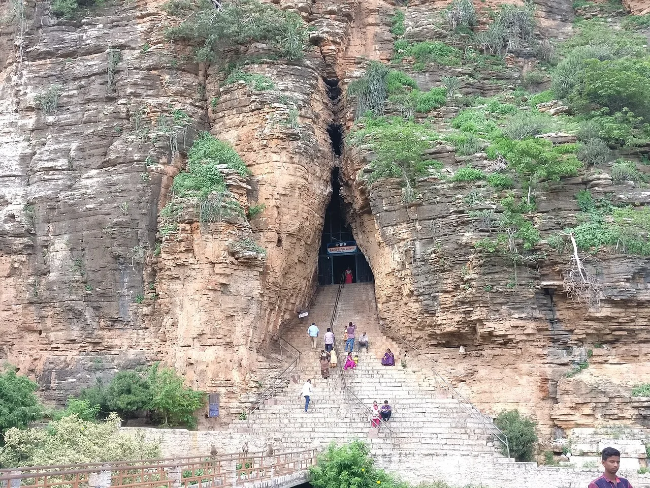
Gandikota Gorge and Fort

11 km away · YSR district

Gandikota Gorge and Fort

Gandikota is a village and historic fort beside the Penna in Andhra Pradesh. Visitors come to see the gorge and fort, shaped by successive ruling powers.

Belum Caves

39 km away · Nandyal district

Belum Caves

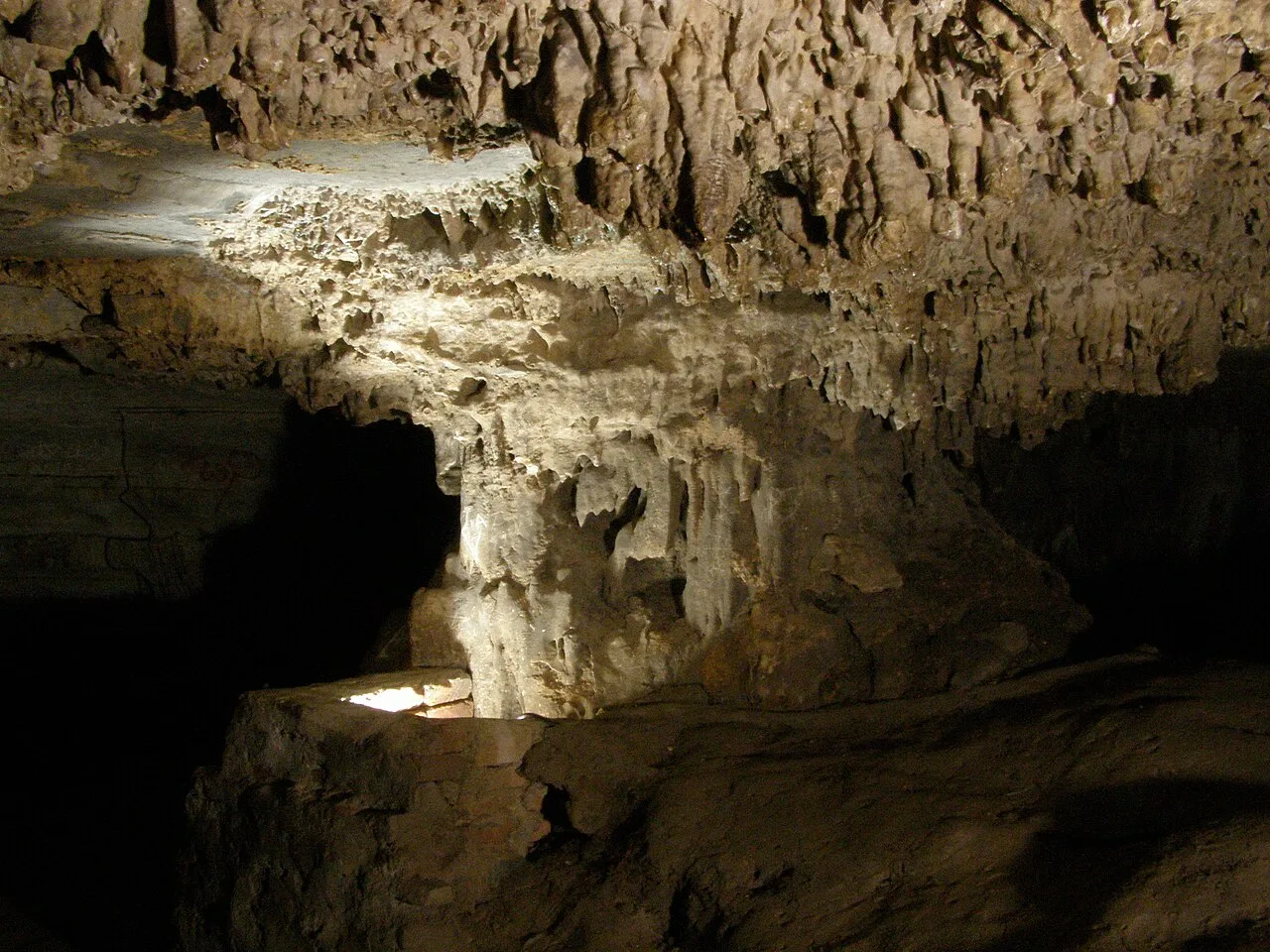
Belum Caves is a large limestone cave network in Nandyal district, Andhra Pradesh. Visitors explore its underground passages and distinctive karst features, while the site also draws interest for evidence of ancient human activity.

Ahobilam Nava Narasimha Temples

48 km away · Nandyal district

Ahobilam Nava Narasimha Temples

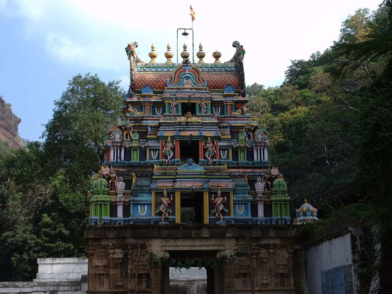
Ahobilam is a sacred settlement in Andhra Pradesh’s Nandyal district, known for its shrines honouring Narasimha. Visitors come to worship at temples located in both Lower and Upper Ahobilam.

62 km away · YSR district

Ameen Peer Dargah

Ameen Peer Dargah is a Sufi shrine in Kadapa, Andhra Pradesh, within YSR district. People visit it as a place of religious devotion.

Yaganti temple

62 km away · Nandyal district

Yaganti temple

In Andhra Pradesh’s Nandyal district, Yaganti Temple is a Shiva shrine known also as Sri Yaganti Uma Maheswara Temple. Visitors come to worship Shiva at this temple.

Mahanandi Temple

74 km away · Nandyal district

Mahanandi Temple

Mahanandi is an Andhra Pradesh village centred on the Mahanandiswara Swamy Temple, one of the Nava Nandi shrines. Visitors come to worship and take part in the annual Maha Shivaratri festival.

Gooty Fort

84 km away · Anantapur district

Gooty Fort

Gooty Fort is a ruined hill fort in Gooty, Andhra Pradesh, also known as Ravadurg and Gutti Kota. Visitors come to see the remains and its hilltop location.

Orvakal Rock Garden

96 km away · Kurnool district

Orvakal Rock Garden

Orvakal Rock Garden is a place to visit in Andhra Pradesh’s Kurnool district, associated with Orvakal village; people come to see the site identified as a rock garden.

Map

Jammalamadugu on the map

  1. 1Gandikota Gorge and Fort
  2. 2Belum Caves
  3. 3Ahobilam Nava Narasimha Temples
  4. 4Ameen Peer Dargah
  5. 5Yaganti temple
  6. 6Mahanandi Temple
  7. 7Gooty Fort
  8. 8Orvakal Rock Garden

Andhra Pradesh

Other cities to explore