Ghumoopedia — Explore, Discover, Experience
Sign in
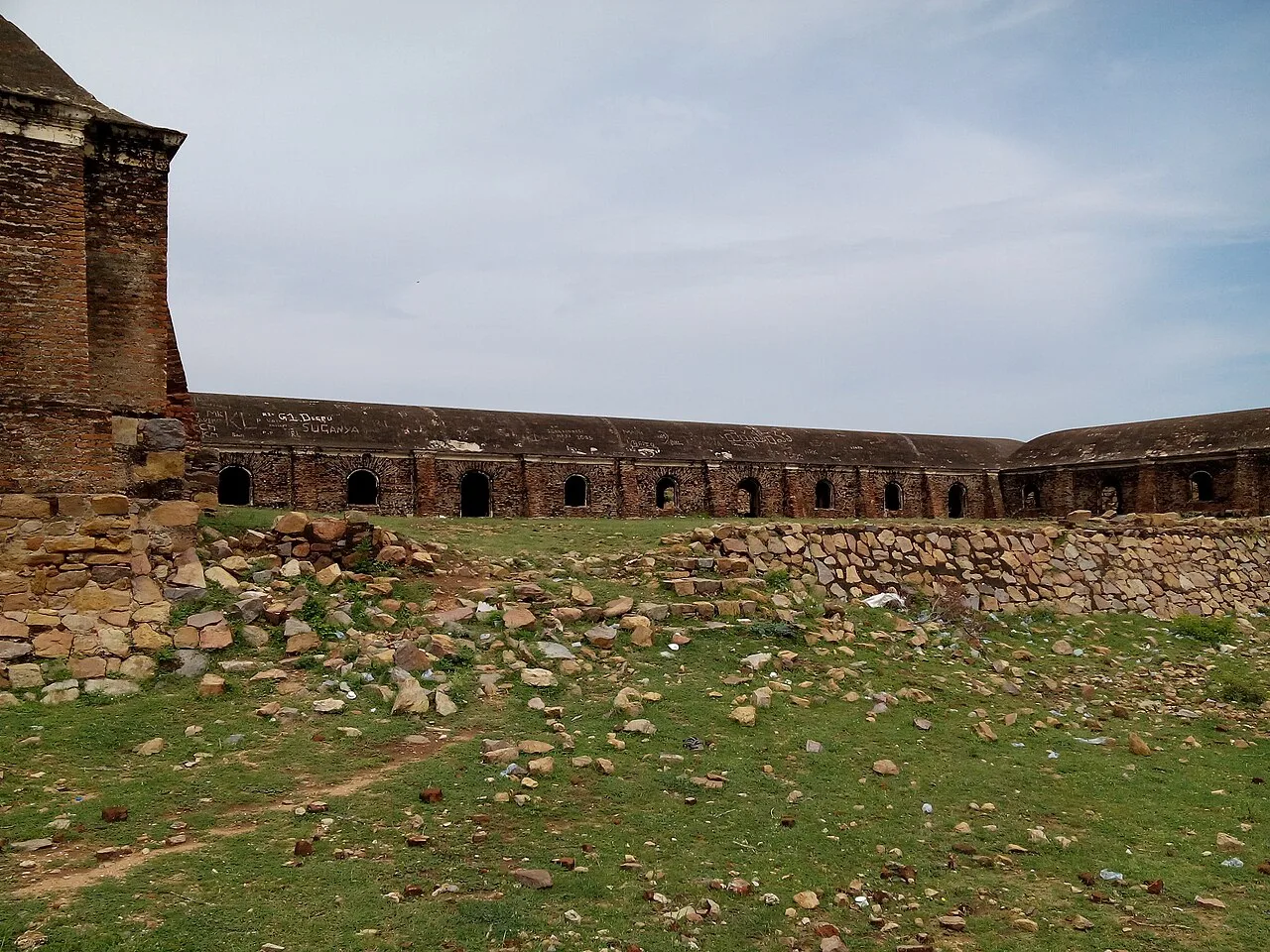
Gooty Fort, near Uravakonda

City guide · Andhra Pradesh

Uravakonda

Uravakonda is a town in Andhra Pradesh’s Anantapur district and the administrative headquarters of Uravakonda mandal, within Guntakal revenue division. Its role is chiefly regional: it serves nearby villages with local administration, shops and everyday services, and connects with larger centres such as Anantapur and Guntakal.

Famous for

  • Historic clock tower
  • Boviseema inscriptions
  • Vijayanagara-era regional history
  • Mandal headquarters

Why Uravakonda matters

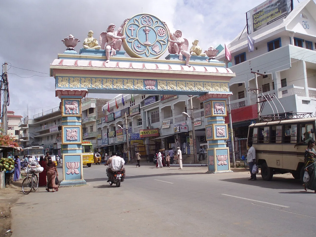
Uravakonda is a town in Andhra Pradesh’s Anantapur district and the administrative headquarters of Uravakonda mandal, within Guntakal revenue division. Its role is chiefly regional: it serves nearby villages with local administration, shops and everyday services, and connects with larger centres such as Anantapur and Guntakal. The town is best recognised for its central clock tower, built during its development from a village into a town, and for its association with the historical name Boviseema.

Uravakonda is not a major tourist destination, but it may interest visitors exploring the history and landscapes of the Anantapur region. Stone inscriptions in nearby villages refer to Boviseema across the 10th to 16th centuries and offer a glimpse of the area’s past, including its links with the Vijayanagara period. In town, the clock tower and everyday streets provide a simple introduction to local life. Its appeal is less about a large collection of attractions and more about its regional history, civic role and quieter setting.
Famous for: crafts, trade & products

Uravakonda is not widely known as a centre for a particular textile, handicraft or GI-tagged product. Its identity is more civic and historical than product-based: the clock tower is a familiar town landmark, while inscriptions from villages in the surrounding region are associated with the name Boviseema. Visitors looking for a specialist craft market or a distinctive local shopping street should not assume one is a major attraction here.

The town’s shops and commercial areas mainly serve residents and people from nearby villages, with everyday provisions, clothing and household goods available locally. The central area around the clock tower is a practical place to orient yourself and find general shops and services. For a broader choice of products or larger retail outlets, travellers may need to look to bigger regional centres such as Anantapur or Guntakal. Local products and seasonal goods can vary, so it is best to ask shopkeepers what is available during a visit. Uravakonda is best approached as a working mandal town rather than a destination for a particular craft or trade.

History

Uravakonda began as a village and developed into a town during the colonial period. Local historical accounts associate its growth with Govindacharya Uravakonda, who acquired the village from the British and gradually expanded it. The clock tower at the town’s centre is linked with this period of development and remains a prominent marker in the townscape.

The wider area has a much older recorded past. Stone inscriptions found in villages around Uravakonda refer to Boviseema from the 10th through the 16th centuries, a period that includes the era of the Vijayanagara Empire. These references place the locality within a changing regional landscape, though they do not by themselves establish the history of the modern town in detail. In the present day, Uravakonda functions as the headquarters of its mandal and is part of Guntakal revenue division in Anantapur district. Its growth reflects its continuing role as a local centre for administration and services.

Food, festivals & culture

Telugu is the principal language of everyday life in Uravakonda; Urdu and English may also be heard. Food is typical of the wider Rayalaseema region, with rice, lentils, vegetable curries, spicy chutneys and pickles common in meals. Ragi-based dishes, including ragi sangati, are part of the broader regional food tradition, though menus vary between households and eateries. There is no widely established city-specific sweet or signature dish associated with Uravakonda.

Sankranti, usually celebrated in January, is an important harvest-season festival in Andhra Pradesh. Ugadi, the Telugu New Year in March or April, and Dasara, generally in September or October, are also observed; Muslim residents mark occasions such as Ramadan and Eid. Worship takes place at local temples and mosques, which serve their neighbourhoods rather than forming a single well-known pilgrimage circuit. Devotional singing and regional folk performance traditions are part of community celebrations, especially around festivals, though programmes and forms vary from year to year.

Visiting the city

The cooler months, roughly October to February, are generally the most comfortable time to visit; summers can be very hot. Sri Sathya Sai Airport at Puttaparthi is the nearest airport, but scheduled connections are limited, so travellers may find Bengaluru’s Kempegowda International Airport more practical for a wider choice of flights. Guntakal Junction is the principal nearby railway station. From there, buses and road transport connect with Uravakonda; local buses, auto-rickshaws and taxis are useful for getting around town and nearby villages.

The central area around the clock tower is a good starting point for a short walk and a look at everyday town life. Visitors interested in the region’s older history can ask locally about inscriptions and heritage sites in surrounding villages, as these are not necessarily arranged as formal tourist stops.

Trips from the city

Nearest places to visit from Uravakonda

Our closest destination guides, by straight-line distance.

Gooty Fort

46 km away · Anantapur district

Gooty Fort

Gooty Fort is a ruined hill fort in Gooty, Andhra Pradesh, also known as Ravadurg and Gutti Kota. Visitors come to see the remains and its hilltop location.

Belum Caves

96 km away · Nandyal district

Belum Caves

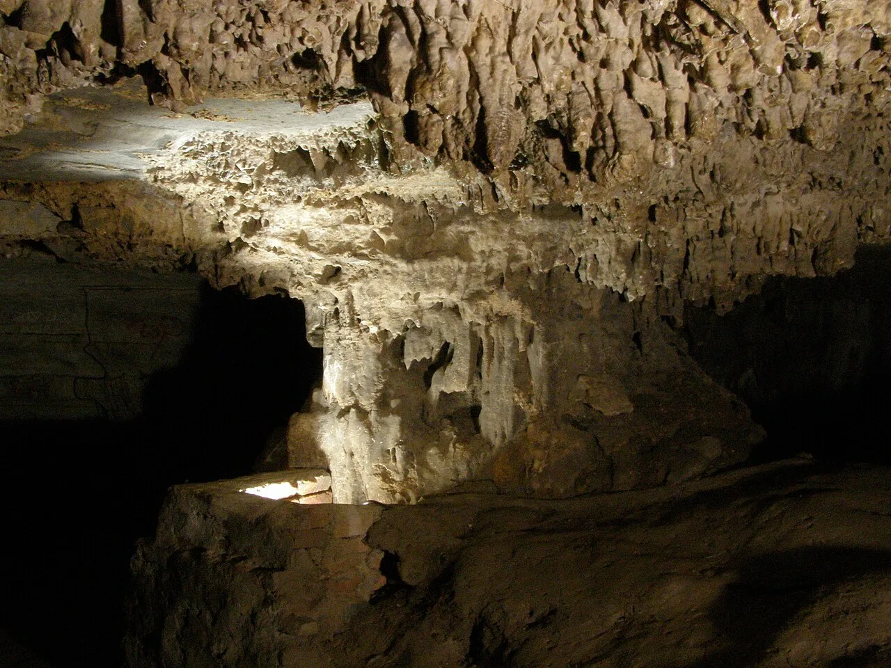
Belum Caves is a large limestone cave network in Nandyal district, Andhra Pradesh. Visitors explore its underground passages and distinctive karst features, while the site also draws interest for evidence of ancient human activity.

Puttaparthi (Prasanthi Nilayam)

105 km away · Sri Sathya Sai district

Puttaparthi (Prasanthi Nilayam)

Puttaparthi is a municipality and the administrative centre of Sri Sathya Sai district in Andhra Pradesh. Visitors come for Prasanthi Nilayam and the town’s connection with Sathya Sai Baba.

Yaganti temple

105 km away · Nandyal district

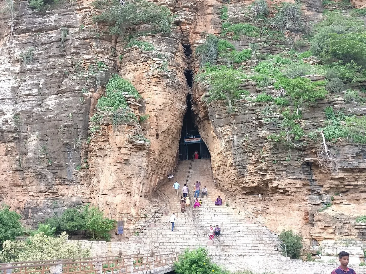
Yaganti temple

In Andhra Pradesh’s Nandyal district, Yaganti Temple is a Shiva shrine known also as Sri Yaganti Uma Maheswara Temple. Visitors come to worship Shiva at this temple.

Gandikota Gorge and Fort

112 km away · YSR district

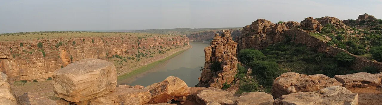
Gandikota Gorge and Fort

Gandikota is a village and historic fort beside the Penna in Andhra Pradesh. Visitors come to see the gorge and fort, shaped by successive ruling powers.

Orvakal Rock Garden

129 km away · Kurnool district

Orvakal Rock Garden

Orvakal Rock Garden is a place to visit in Andhra Pradesh’s Kurnool district, associated with Orvakal village; people come to see the site identified as a rock garden.

Konda Reddy Fort

131 km away · Kurnool district

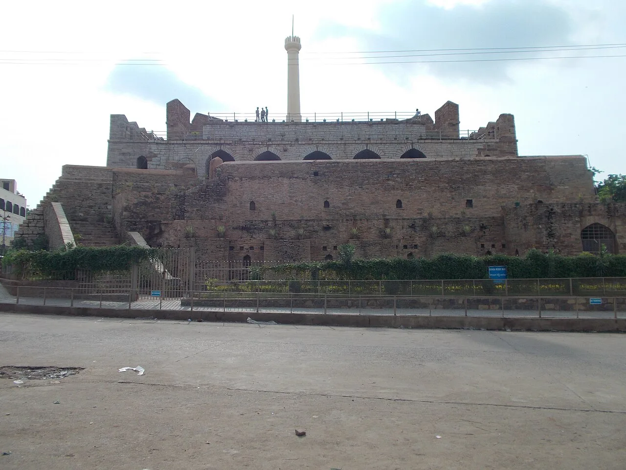
Konda Reddy Fort

Konda Reddy Fort is a surviving fort structure in Kurnool, Andhra Pradesh. Visitors come to see its semi-circular bastion and tower, remnants of the city’s former fortification.

Lepakshi Veerabhadra Temple

131 km away · Anantapur district

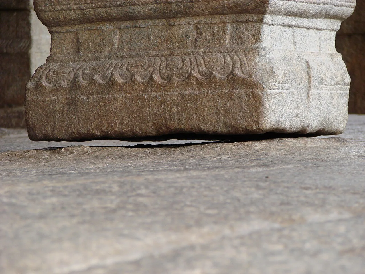
Lepakshi Veerabhadra Temple

Lepakshi Veerabhadra Temple is a temple in the Andhra Pradesh village of Lepakshi. Visitors go to the village to see the Veerabhadra Temple.

Map

Uravakonda on the map

  1. 1Gooty Fort
  2. 2Belum Caves
  3. 3Puttaparthi (Prasanthi Nilayam)
  4. 4Yaganti temple
  5. 5Gandikota Gorge and Fort
  6. 6Orvakal Rock Garden
  7. 7Konda Reddy Fort
  8. 8Lepakshi Veerabhadra Temple

Andhra Pradesh

Other cities to explore