Ghumoopedia — Explore, Discover, Experience
Sign in
Gupteswar Cave Temple, near Malkangiri

City guide · Odisha

Malkangiri

Malkangiri is the administrative centre of one of Odisha’s southernmost districts, serving as a hub for government services, trade and travel across a remote, largely rural region. Its setting between the Eastern Ghats gives the town a close connection to surrounding hills, forests and waterways.

Famous for

  • Malkangiri district headquarters
  • Dandakaranya resettlement history
  • Eastern Ghats landscapes
  • Satiguda reservoir
  • Regional weekly markets

Why Malkangiri matters

Malkangiri is the administrative centre of one of Odisha’s southernmost districts, serving as a hub for government services, trade and travel across a remote, largely rural region. Its setting between the Eastern Ghats gives the town a close connection to surrounding hills, forests and waterways. Visitors use it as a base for exploring nearby reservoirs and the district’s varied landscapes, while local markets offer a glimpse of everyday life and regional produce.

The town is also known for its layered history of migration and settlement. From 1965, East Bengali refugees were resettled here under the Dandakaranya Project; a smaller number of Sri Lankan Tamil refugees also arrived in the early 1990s, though most later returned. Malkangiri and its wider district have also faced prolonged Maoist insurgency, whose effects have eased in recent years but remain relevant to travel planning. The town’s importance lies less in big-city attractions than in its role as a gateway, service centre and meeting point for communities across a distinctive part of Odisha.
Famous for: crafts, trade & products

Malkangiri is not widely known as a centre for a particular saree, textile, GI-tagged product or large-scale industry. Its commercial life is more closely tied to agriculture and the primary sector. Town markets and weekly haats are the most practical places to see local trade: seasonal farm produce, forest-derived goods and everyday household items circulate alongside goods brought in from elsewhere. Availability varies by season and market day.

The district’s many communities have craft and weaving traditions, but visitors should not expect a dedicated craft bazaar or a reliable selection of specific products in town. Ask locally about current haats or community-run outlets, and buy directly from makers when possible. Malkangiri’s shops and market streets are useful for ordinary supplies and a sense of regional commerce rather than specialist souvenirs. Agriculture remains central to livelihoods, while the town’s role as a district headquarters supports public services and small businesses. For visitors seeking Odisha’s better-known handloom or craft centres, Malkangiri is not generally a major destination; its appeal is the everyday exchange of goods and the cultural variety of the surrounding district.

History

Malkangiri was historically called Malikamardhangiri. Local historical accounts associate its foundation with Malakimardhan Krishna Dev, an 11th ruler of the Jeypore kingdom who reigned from 1676 to 1681. The name is linked to his victory over a Golconda commander, Malik Mohammad, and to a fort known as Malikamardhangadha. Over time, the place-name was shortened to Malkangiri, the form used under British administration.

When Orissa Province was formed in 1936, Malkangiri was a taluka within the Nowrangpur sub-division of Koraput district. It became a sub-division in 1962. The Dandakaranya resettlement programme brought East Bengali refugees to the area from 1965, shaping its modern social history. Malkangiri became the headquarters of a separate district in 1992, following Odisha’s district reorganisation. The region has experienced Maoist insurgency since the late 1960s, with its effects reduced in recent years but still part of the area’s contemporary history.

Food, festivals & culture

Rice is a staple in Malkangiri, with millet-based foods, pulses, seasonal vegetables and locally available fish also part of everyday meals. What is cooked and sold changes with the season and household tradition; the town is not especially known for a signature sweet or restaurant dish. Market stalls and small eateries are good places to encounter simple regional food.

Hindu festivals such as Dussehra, Diwali and Nuakhai are observed, while communities across the district also mark festivals and ceremonies rooted in their own traditions. Celebrations often follow the agricultural calendar, so dates vary from year to year. Odia is widely used, alongside Telugu and tribal languages including Koya and others spoken in the district. Music, dance and ritual practices differ between communities and are best encountered respectfully through local invitations or organised cultural events. Town temples and places of worship serve residents, while the wider district’s religious life includes village shrines and community ceremonial spaces. Visitors should ask before photographing people or ceremonies.

Visiting the city

The cooler, drier months from November to February are generally the most comfortable for a visit. Summers can be very hot, while monsoon rain may disrupt road travel and cause flooding or difficult conditions. Check local advice and road conditions before travelling, particularly if planning trips beyond town.

Jeypore Airport is the closest airport; Visakhapatnam Airport is a larger alternative, though farther away. Jeypore railway station is the usual railhead for Malkangiri; confirm current connections before setting out. Buses and hired vehicles serve the town and surrounding areas, while auto-rickshaws are useful for local journeys. Explore the central market and town centre for daily commerce, then consider Satiguda reservoir near town. Trips to other district destinations require advance planning, and travellers should follow current local security guidance.

Trips from the city

Nearest places to visit from Malkangiri

Our closest destination guides, by straight-line distance.

Gupteswar Cave Temple

59 km away · Koraput district

Gupteswar Cave Temple

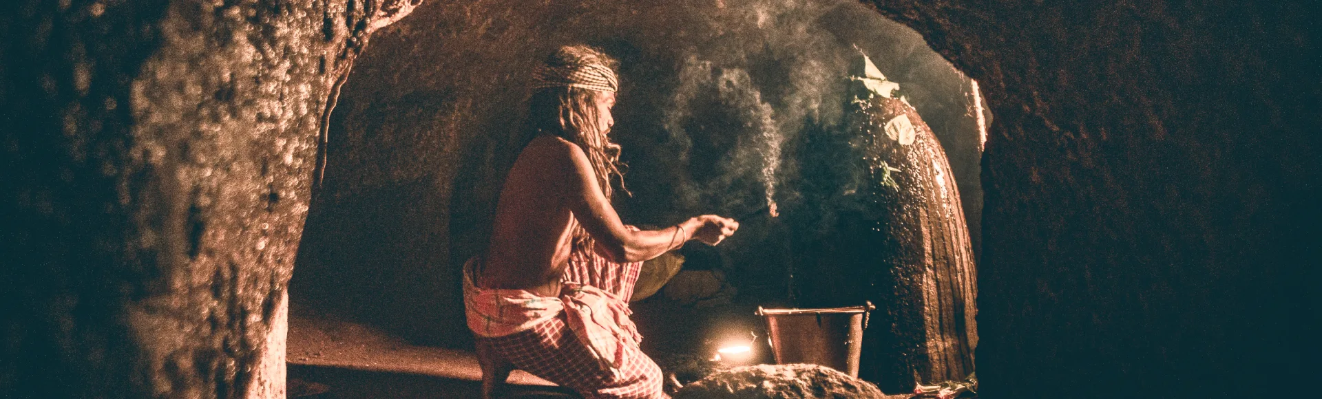
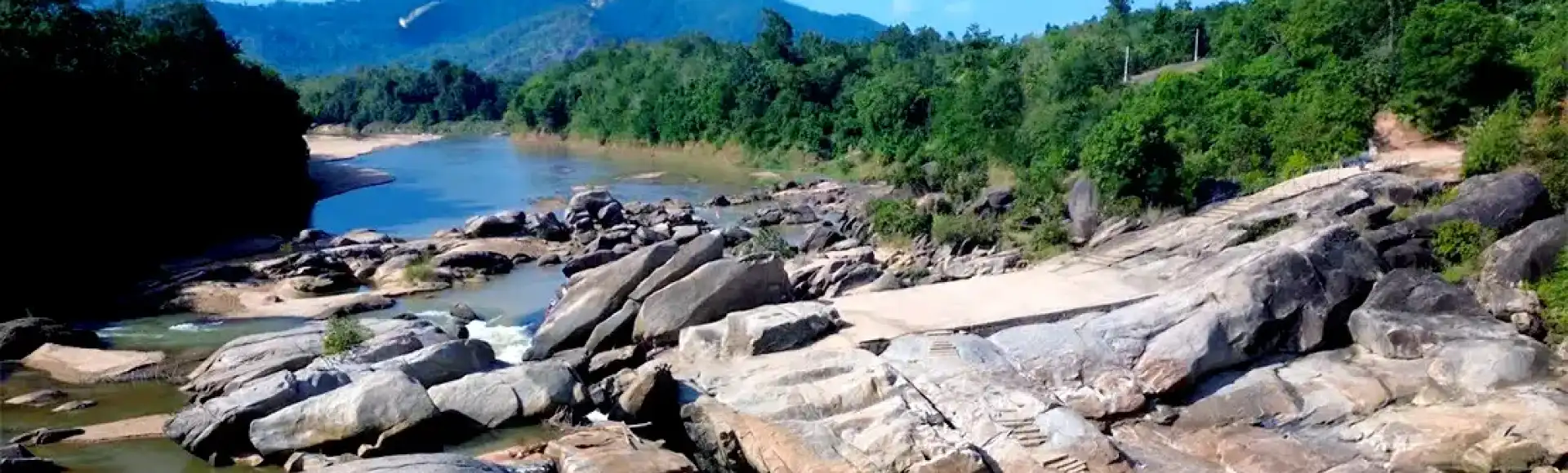
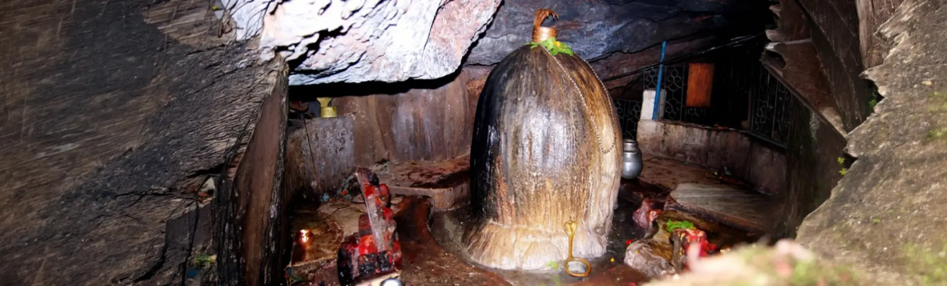
Gupteswar Cave Temple in Kathakhunta, Koraput, Odisha, is a Shiva shrine in forest country beside the Kolab River. Pilgrims visit its cave lingam, particularly during Shravan and Shivaratri.

Duduma Waterfall

60 km away · Koraput district

Duduma Waterfall

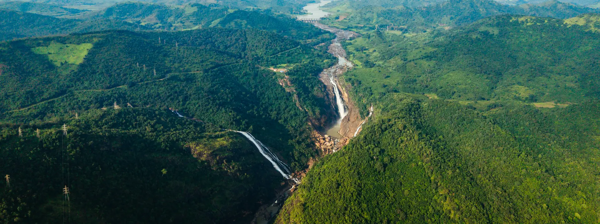
Duduma is a high waterfall on the Machkund River in Koraput district, near the Odisha–Andhra Pradesh boundary. Visitors come for its roughly 157-metre drop, wooded hills and viewpoints.

Kolab Dam

87 km away · Koraput district

Kolab Dam

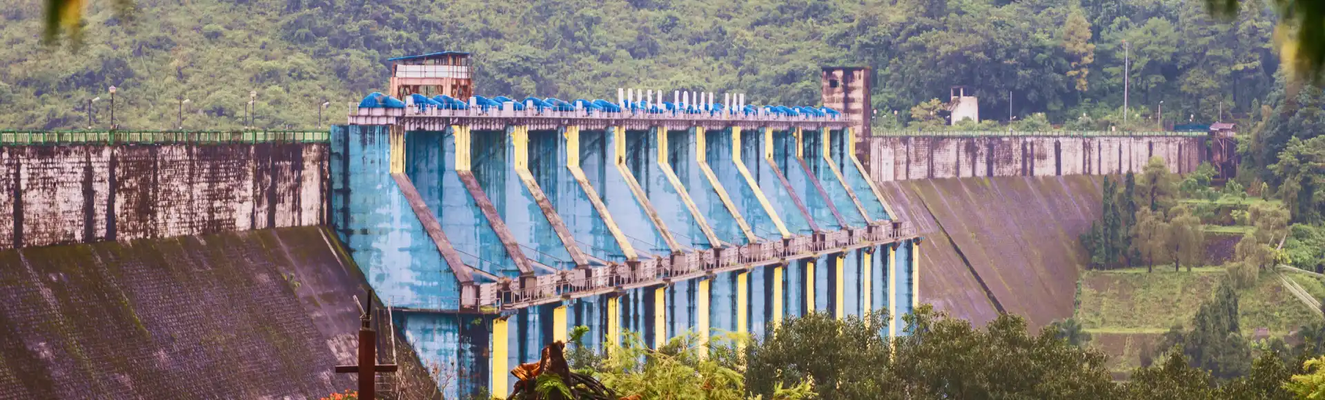
Spanning the Kolab River in Koraput district, Odisha, Kolab Dam is a significant hydroelectric installation. Visitors come for its reservoir setting, surrounding hills and woodland, and boating.

Kotpad

100 km away · Koraput district

Kotpad

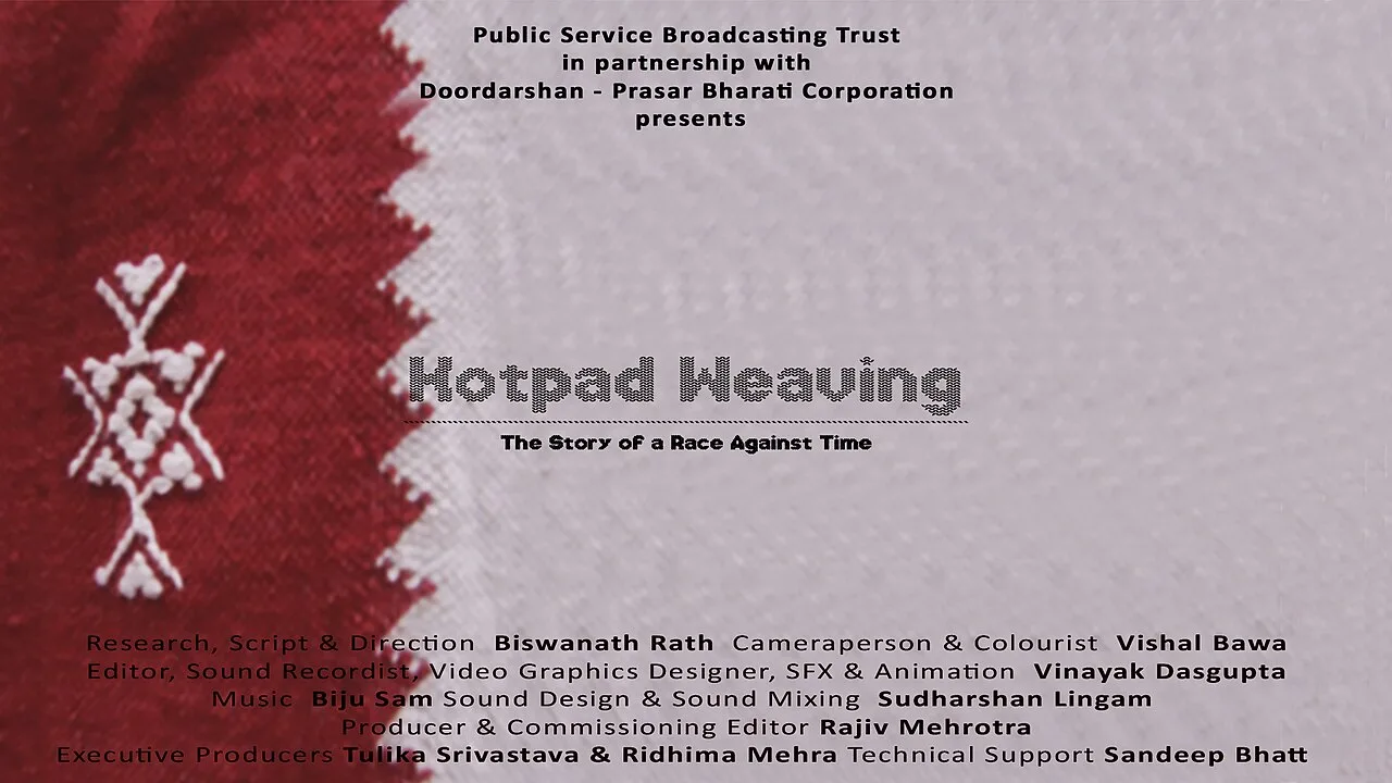
Kotpad, in Odisha’s Koraput district, is a town known for its sarees and handloom textiles. Visitors are drawn to its plant-dyed weaving tradition and its association with an award-winning film.

Sabara Srikshetra (Jagannath Temple, Koraput)

100 km away · Koraput district

Sabara Srikshetra (Jagannath Temple, Koraput)

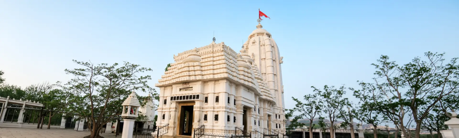
On a hill overlooking Koraput, Sabara Srikshetra is a modern Jagannath temple inaugurated in 1972. Visitors come to worship and learn about its association with the Sabara community.

Deomali Hills

119 km away · Koraput district

Deomali Hills

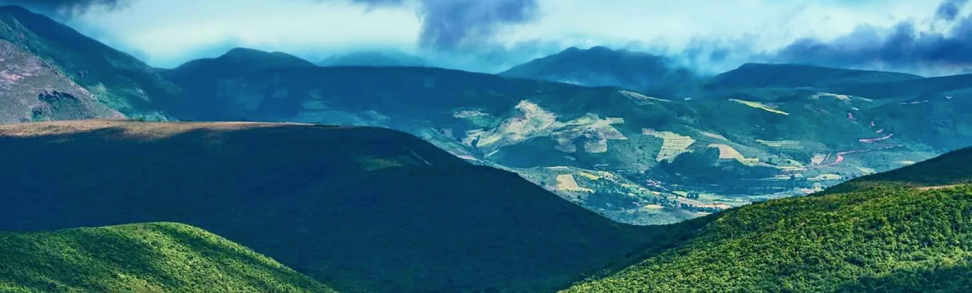
Deomali Hills, in Koraput, is Odisha’s highest peak at about 1,672 metres. People visit for its Eastern Ghats scenery, rolling grasslands, misty valleys, winding roads and broad views.

Sahasra Shivalinga Temple

136 km away · Koraput district

Sahasra Shivalinga Temple

Set on Koti Shivalinga Parvat in Kutunipadar, this Koraput shrine is known for its naturally formed Shiva lingas and cave sanctuaries, drawing pilgrims to a distinctive place of worship.

Minajhola

232 km away · Rayagada district

Minajhola

Minajhola is a riverside destination in Rayagada district, Odisha, known for the meeting of three rivers and a Shiva temple where the deity is worshipped as Minaketan.

Map

Malkangiri on the map

  1. 1Gupteswar Cave Temple
  2. 2Duduma Waterfall
  3. 3Kolab Dam
  4. 4Kotpad
  5. 5Sabara Srikshetra (Jagannath Temple, Koraput)
  6. 6Deomali Hills
  7. 7Sahasra Shivalinga Temple
  8. 8Minajhola

Odisha

Other cities to explore