Ghumoopedia — Explore, Discover, Experience
Sign in
Kashipur, near Bajpur

City guide · Uttarakhand

Bajpur

Bajpur is a municipality in Udham Singh Nagar district, in Uttarakhand’s fertile Terai belt. Its modern identity is closely tied to agriculture, especially sugarcane cultivation, and to the settlement of families who came from Punjab after the Partition of 1947.

Famous for

  • India’s first cooperative sugar mill
  • Terai sugarcane farming
  • Punjabi Partition-era settlement
  • Agricultural estates
  • Gateway to the Kumaon foothills

Why Bajpur matters

Bajpur is a municipality in Udham Singh Nagar district, in Uttarakhand’s fertile Terai belt. Its modern identity is closely tied to agriculture, especially sugarcane cultivation, and to the settlement of families who came from Punjab after the Partition of 1947. The town also has an important place in India’s cooperative history: its sugar mill was the country’s first cooperative sugar mill to begin production. Together, farming and the mill have shaped Bajpur’s economy and its role as a service centre for surrounding villages.

Bajpur is connected by road with Kashipur and Rudrapur, making it useful for regional travel and commerce. Visitors may find interest in its agricultural landscape, local markets and the history of post-Partition settlement. It is also a practical stop for journeys towards the Kumaon foothills, including Nainital, though it is not itself a hill resort. Bajpur’s significance lies less in a large cluster of formal tourist attractions than in its working town character and its place in the development of the Terai.
Famous for: crafts, trade & products

Bajpur is best known for sugarcane and the cooperative sugar mill that began production here in 1959. The mill marks an important chapter in the growth of cooperative industry in India, while the surrounding farms reflect the transformation of the Terai into productive agricultural land. Sugar and farm produce are central to the town’s local economy, alongside the shops and services that cater to nearby settlements.

Bajpur is not especially known for a particular textile, saree, handicraft or GI-tagged product. Visitors looking for everyday goods and locally traded produce can explore the central bazaar and neighbourhood shops; seasonal agricultural goods are more likely to be encountered through local trade than as organised visitor-oriented markets. The sugar mill is an important landmark in the town’s economic story, although it is an operating industrial site rather than a guaranteed public attraction. For specialised crafts or a broader range of regional products, travellers may find more choice in larger nearby centres such as Kashipur or Rudrapur.

History

Local history traces Bajpur’s founding to the early seventeenth century, during the rule of Chand king Lakshmi Chand. The town is said to have been named after Baz Bahadur, an earlier Chand ruler. For a long period, the surrounding Terai was heavily forested; its gradual conversion into farmland brought major changes to the landscape and settlement pattern.

A defining chapter came after the 1947 Partition, when people displaced from Punjab settled in the area. Their farming communities helped develop agricultural land and shaped Bajpur’s Punjabi influences. In the decades after Independence, this farming economy supported the growth of local industry. Bajpur’s cooperative sugar mill began production on 16 February 1959 and became a landmark in the history of cooperative sugar manufacturing in India. The mill and the cultivation that supplies it remain closely associated with the town’s development. Bajpur’s history is therefore marked by both its older Chand-era origins and the more recent transformation of the Terai through migration, farming and cooperative enterprise.

Food, festivals & culture

Bajpur’s culture reflects its setting in the Terai and the influence of families who settled here from Punjab after Partition. Hindi is widely used, with Punjabi and regional Kumaoni also heard in the area. Everyday food draws on both north Indian and Punjabi traditions. Visitors can expect familiar dishes such as roti, dal and seasonal vegetables, alongside Punjabi-style preparations; Bajpur is not particularly noted for one signature dish or sweet.

Holi in spring, Baisakhi in April, Dussehra in autumn and Diwali later in the year are among the festivals observed locally. Sikh families also mark important religious occasions, including Gurpurab. Celebrations may bring together devotional singing, community gatherings and Punjabi or Kumaoni folk music; the exact programme varies by neighbourhood and year. Hindu temples and Sikh gurdwaras serve as important places of worship and community life. Bajpur’s cultural character is best experienced through its local markets, festival gatherings and the mix of traditions found across the town.

Visiting the city

October to March is generally the most comfortable period to visit, with cooler weather for exploring the town and travelling onward. Summers can be hot, while monsoon rain may affect road journeys. Pantnagar Airport is the nearest airport commonly used for the area. Bajpur railway station serves the town; Kashipur Junction is another nearby rail option and a larger regional rail hub.

Road connections link Bajpur with Kashipur and Rudrapur, and local taxis and other shared road transport can help with onward travel. In town, explore the central bazaar and older streets for a sense of daily life, then see the agricultural outskirts and the area around the sugar mill from public roads. Bajpur is more a working-town stop than a resort destination, so visitors heading for hill scenery often continue towards Nainital and the Kumaon foothills.

Trips from the city

Nearest places to visit from Bajpur

Our closest destination guides, by straight-line distance.

Kashipur

17 km away · Udham Singh Nagar district

Kashipur

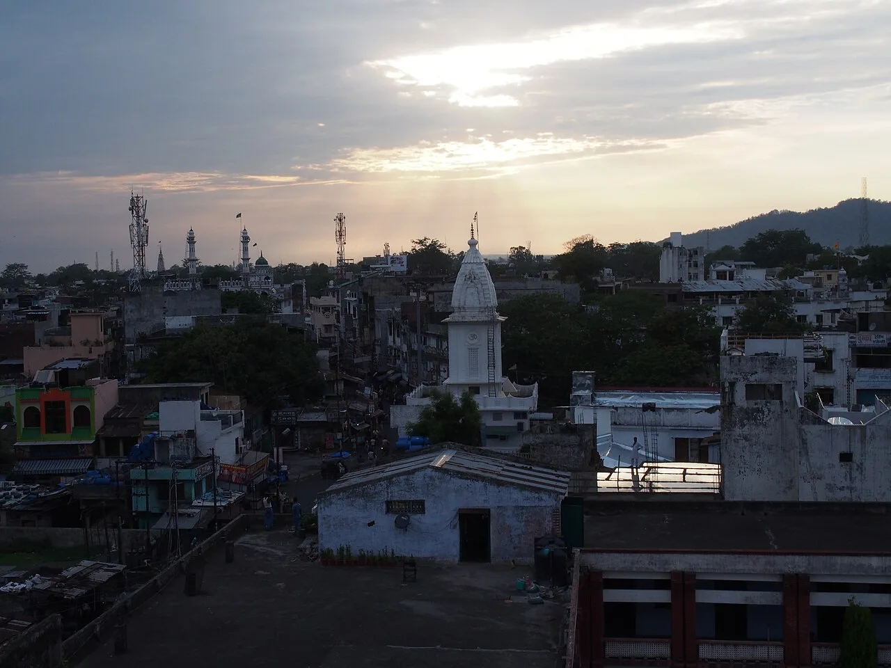
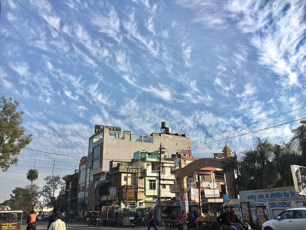
Kashipur is a city in Uttarakhand’s Udham Singh Nagar district. Visitors encounter its links to Kumaun’s history and the Indian Institute of Management Kashipur, located in the city.

Ramnagar

27 km away · Nainital district

Ramnagar

Ramnagar is a town and municipal board in Kumaon, Uttarakhand’s Nainital district. Visitors come for its access to Corbett National Park and nearby temples and wildlife areas.

Rudrapur

34 km away · Udham Singh Nagar district

Rudrapur

Rudrapur is the administrative centre of Udham Singh Nagar in Uttarakhand and an important industrial and educational hub. People come for its administrative, employment and study-related connections.

Haldwani

41 km away · Nainital district

Haldwani

Haldwani, in Uttarakhand’s Nainital district, is Kumaon’s largest city and the state’s third most populous. Visitors come for its commercial centre and as a gateway to the Kumaon hills.

Nainital

43 km away · Nainital district

Nainital

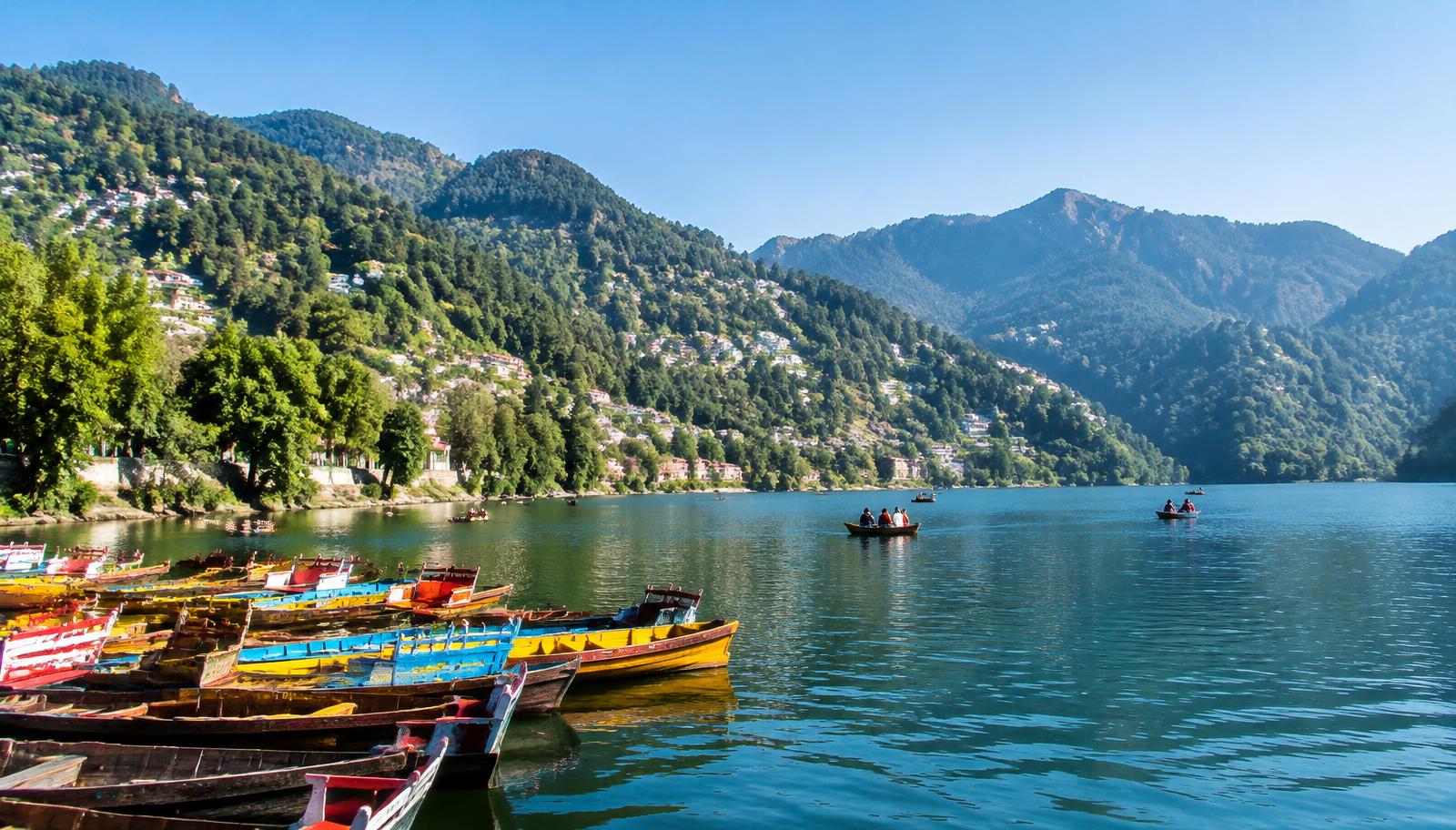
Nainital is a Kumaon hill town in Uttarakhand, centred on Naini Lake. Visitors come for boating and the lakeside, walks along Mall Road, and outings to Snow View and Tiffin Top.

Nainital Lake

43 km away · Nainital district

Nainital Lake

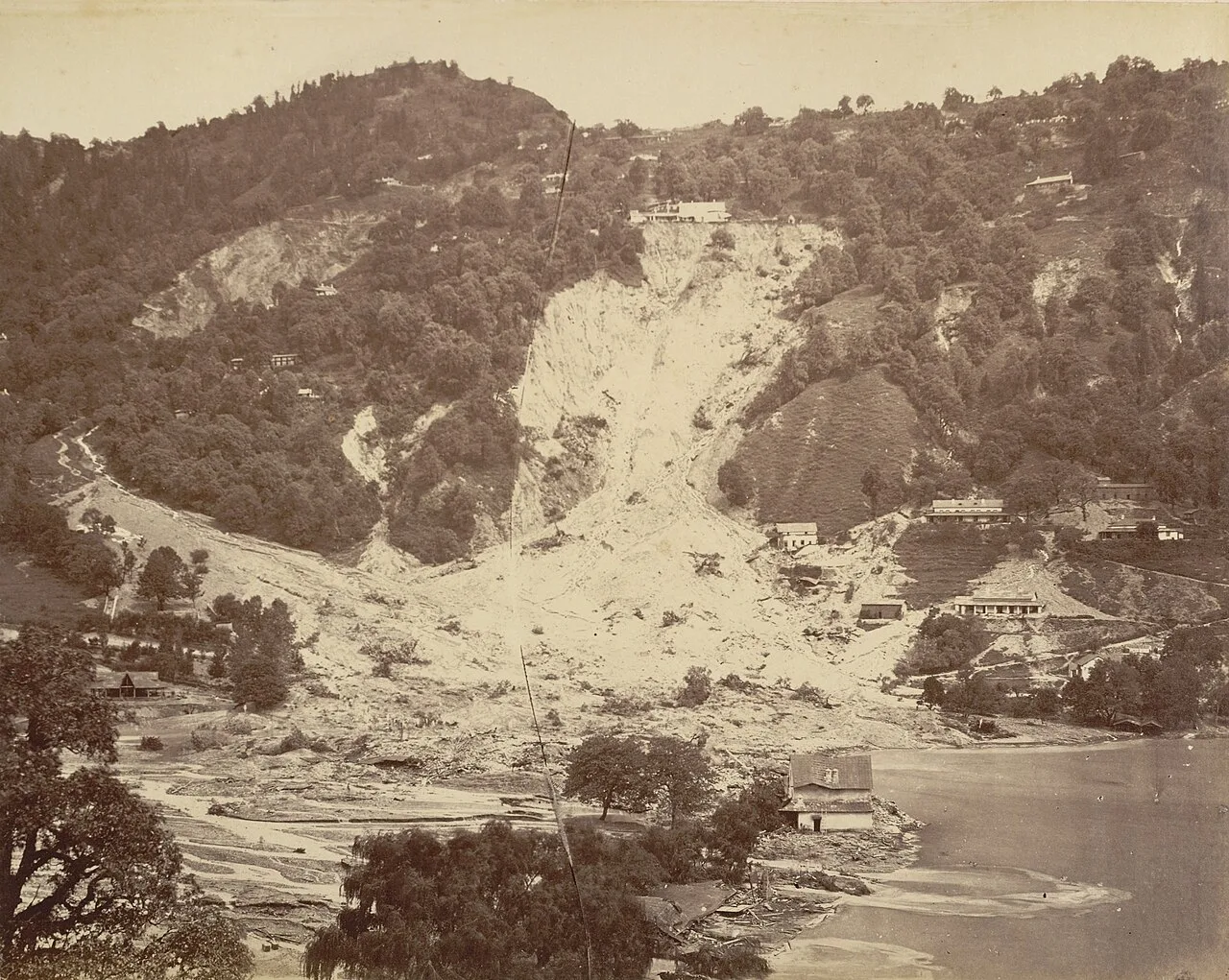
Naini Tal is a tectonic freshwater lake in Nainital, Kumaon, Uttarakhand. Visitors come for recreation around the water, which also features in Kumaoni folklore.

Jim Corbett National Park

47 km away · Nainital district

Jim Corbett National Park

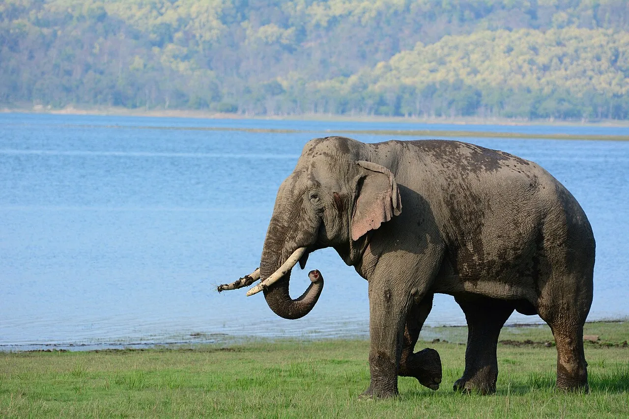
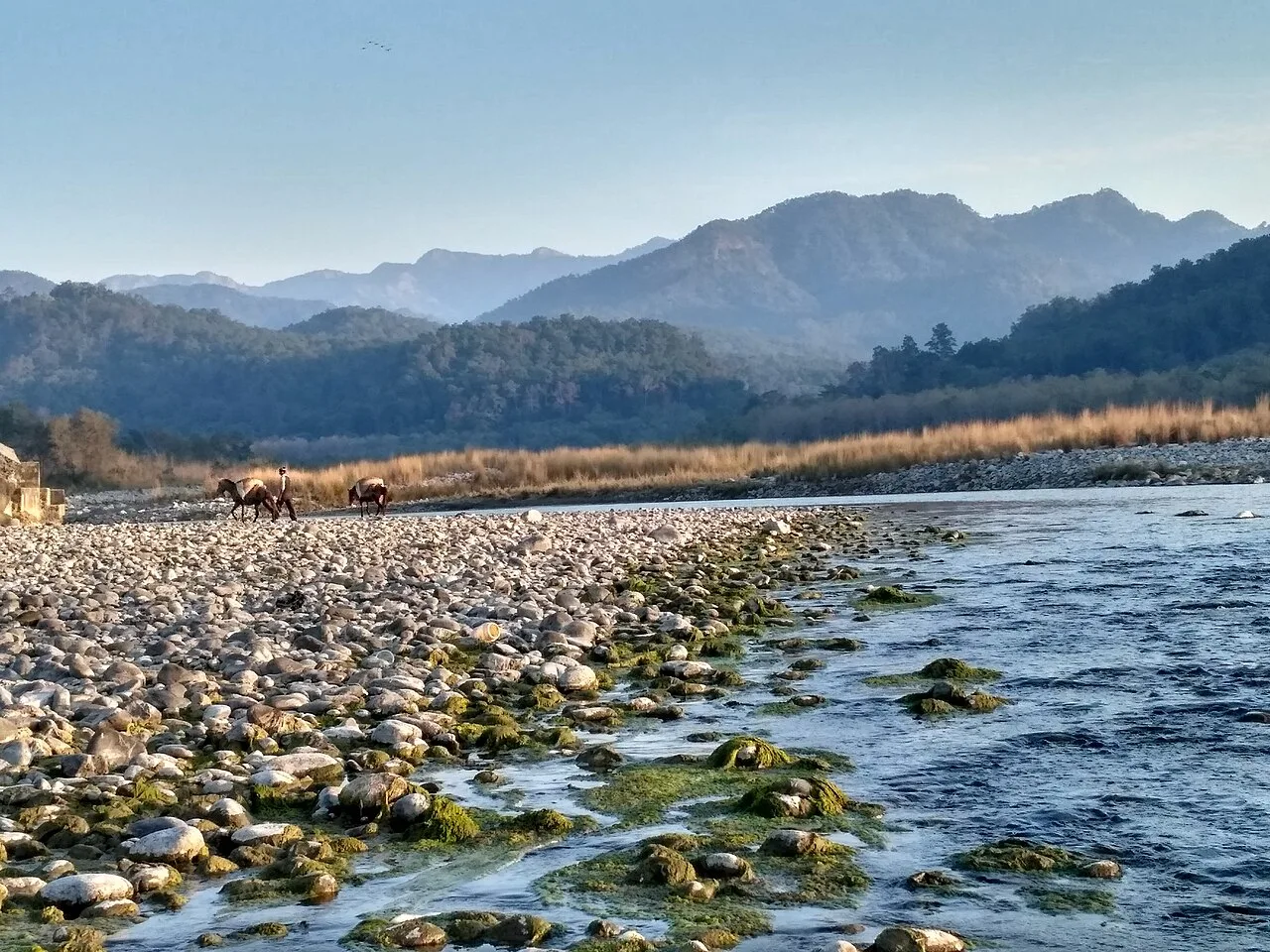
In Uttarakhand’s Nainital district, Jim Corbett National Park is a protected area established in 1936. Visitors come to see its varied habitats and diverse mammal, bird and reptile life.

Kainchi Dham

49 km away · Nainital district

Kainchi Dham

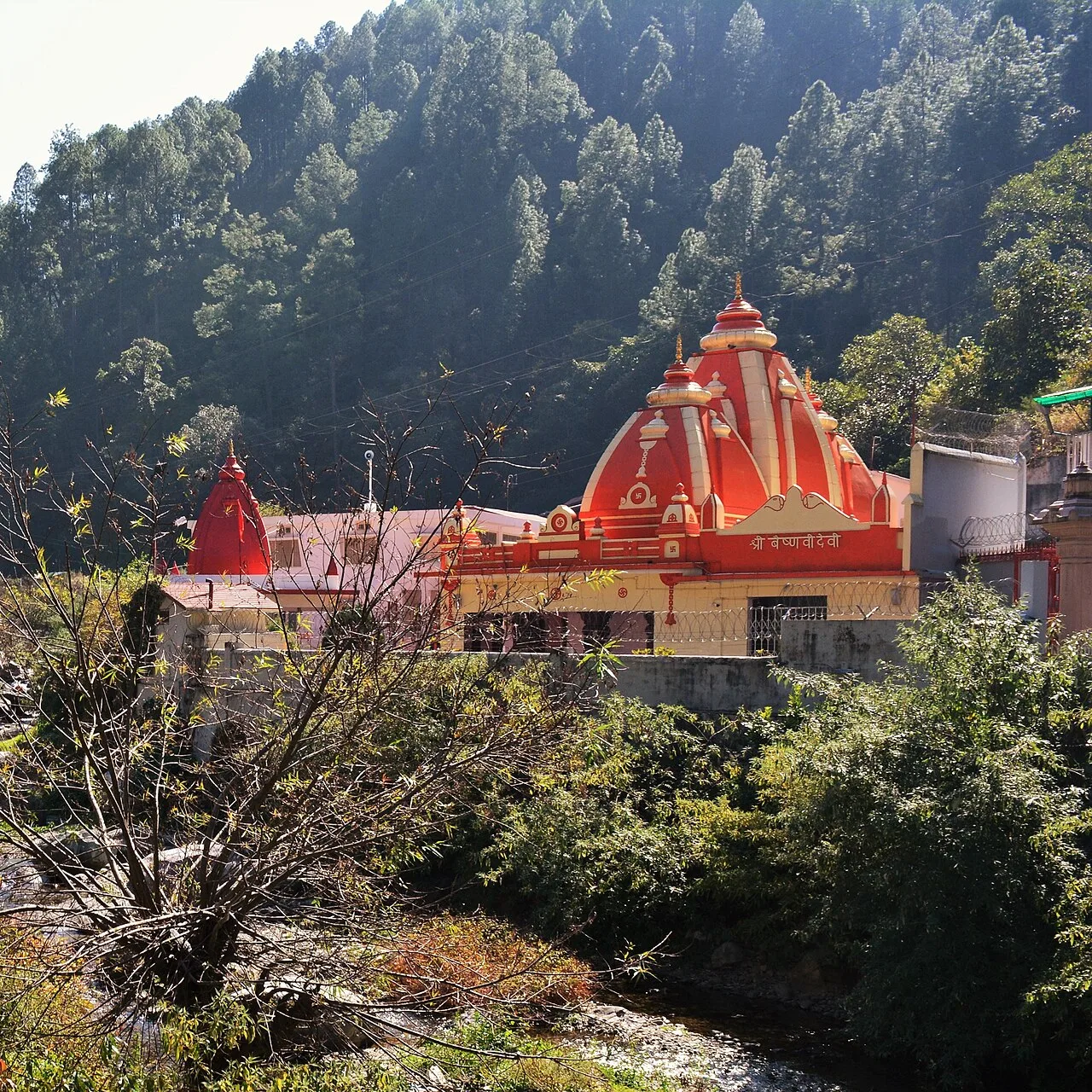
Kainchi Dham is a Hindu ashram and temple site in Uttarakhand associated with Neem Karoli Baba; pilgrims visit to worship and remember the saint.

Map

Bajpur on the map

  1. 1Kashipur
  2. 2Ramnagar
  3. 3Rudrapur
  4. 4Haldwani
  5. 5Nainital
  6. 6Nainital Lake
  7. 7Jim Corbett National Park
  8. 8Kainchi Dham

Uttarakhand

Other cities to explore