Ghumoopedia — Explore, Discover, Experience
Sign in
Kashipur, near Jaspur

City guide · Uttarakhand

Jaspur

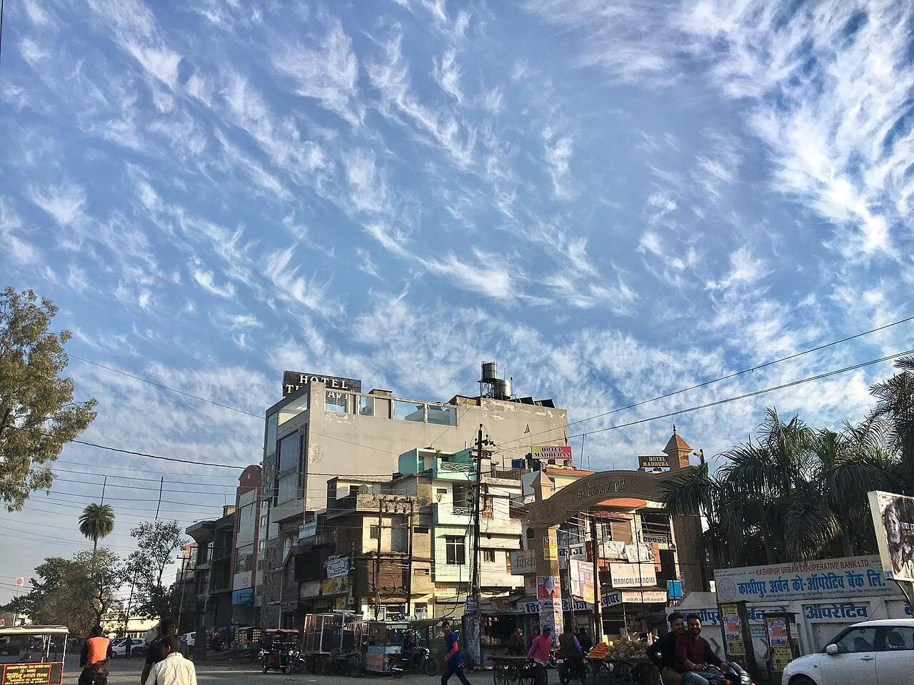
Jaspur is a developing municipal town in Udham Singh Nagar district, set in Uttarakhand’s Terai region close to the Uttar Pradesh border. Its importance is largely practical: it serves residents and nearby settlements with local administration, shops and everyday services, while its road connections link the area with Kashipur and other regional centres.

Famous for

  • Uttarakhand–Uttar Pradesh border town
  • Terai market centre
  • Road link to Kashipur
  • Local everyday commerce

Why Jaspur matters

Jaspur is a developing municipal town in Udham Singh Nagar district, set in Uttarakhand’s Terai region close to the Uttar Pradesh border. Its importance is largely practical: it serves residents and nearby settlements with local administration, shops and everyday services, while its road connections link the area with Kashipur and other regional centres. Kashipur, about 18 kilometres away, is the principal nearby hub for onward travel and wider services.

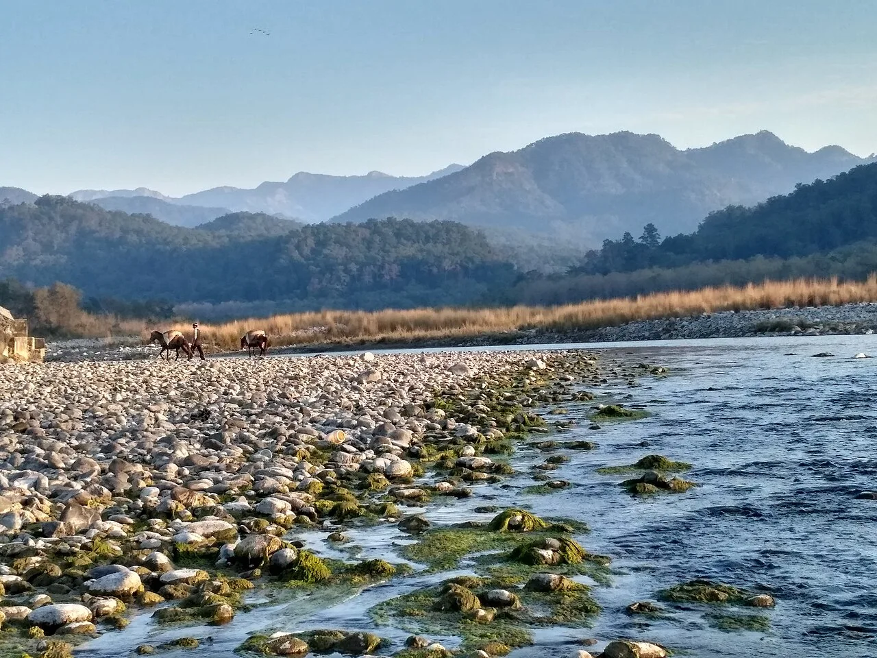
Jaspur is not widely known as a major sightseeing destination or for a nationally recognised craft, food or monument. Visitors are more likely to come for local business, family visits or as part of travel through the border region. Its appeal lies in seeing a working North Indian town and its lively commercial centre, rather than a set itinerary of landmark attractions. The surrounding Terai landscape and access to Kashipur make it a useful stop for travellers exploring this part of Uttarakhand.
Famous for: crafts, trade & products

Jaspur is best understood as a local trading and service town rather than a specialist centre for textiles, handicrafts or a particular manufactured product. There is no widely established signature saree, craft or GI-tagged product associated specifically with the town. Its shops and market streets mainly serve daily needs, with general merchandise and goods for households and nearby communities. For a visitor, the central bazaar and commercial streets are the most straightforward places to browse local shops and observe everyday trade.

The wider Udham Singh Nagar region has an agricultural economy, but specific products should not be presented as Jaspur specialties without local confirmation. Nor is there a well-documented tourist market devoted to traditional crafts. Travellers seeking a broader choice of shops, services or regional goods can look to nearby Kashipur, while Jaspur’s own centre is better suited to routine shopping and refreshments. The town’s significance in trade comes from its role serving the surrounding area and its position near the state boundary, not from a nationally distinctive product.

History

Jaspur’s growth reflects the settlement and development of the Terai, a lowland belt that became increasingly connected through cultivation, roads and local markets. The town’s position near the Uttarakhand–Uttar Pradesh boundary helped it serve communities on both sides, while nearby Kashipur provided a larger regional centre. A definitive, widely documented account of Jaspur’s founding or of a particular ruling dynasty is not readily established, so specific origin stories should be treated cautiously.

During the colonial period, the Terai underwent major changes in land use and administration, as settlement and agriculture expanded across the region. Jaspur developed as a market town within this changing landscape. In modern times, improved regional connections and municipal administration have supported its growth as a local service centre. It became part of Udham Singh Nagar district when the district was formed in 1995, following its earlier association with the Nainital district area. Today it continues to develop through commerce, public services and links with nearby towns.

Food, festivals & culture

Jaspur shares the varied food and cultural life of the Terai, where influences from Uttarakhand and neighbouring Uttar Pradesh meet. Everyday meals commonly draw on familiar North Indian staples such as rice or flatbreads, lentils and seasonal vegetables. Tea stalls, snack shops and sweet shops are part of the town’s casual food scene, though Jaspur is not especially known for a signature dish or sweet. Hindi is widely used in daily life; Urdu, Punjabi and languages associated with the wider Uttarakhand region may also be heard in the town and surrounding area.

Diwali, Holi, Navratri and Dussehra are observed during the autumn and spring festival seasons, while Eid and Gurpurab are also part of the area’s religious calendar. Celebrations often centre on family gatherings, community events and places of worship. Temples, mosques and gurdwaras reflect the town’s religious diversity. Music is chiefly heard in devotional settings and at seasonal celebrations; regional folk traditions are part of the broader cultural landscape, rather than a distinct performance tradition unique to Jaspur.

Visiting the city

October to March is generally the most comfortable period to visit, with cooler weather than the hot months before the monsoon. Pantnagar Airport is the nearest airport commonly used for the region. For rail travel, Kashipur Junction is the practical main station; Jaspur is about 18 kilometres from Kashipur and is reached onward by road. Taxis and local shared or hired vehicles can connect the two towns, while auto-rickshaws and local transport are useful for getting around Jaspur.

Begin in the central bazaar and nearby commercial streets for a sense of everyday town life, local shops and casual food stops. The municipal centre and neighbourhood places of worship offer a low-key look at the town, but visitors should not expect a concentrated circuit of major monuments. Jaspur works best as a short regional stop or as a base for travel toward Kashipur.

Trips from the city

Nearest places to visit from Jaspur

Our closest destination guides, by straight-line distance.

Kashipur

14 km away · Udham Singh Nagar district

Kashipur

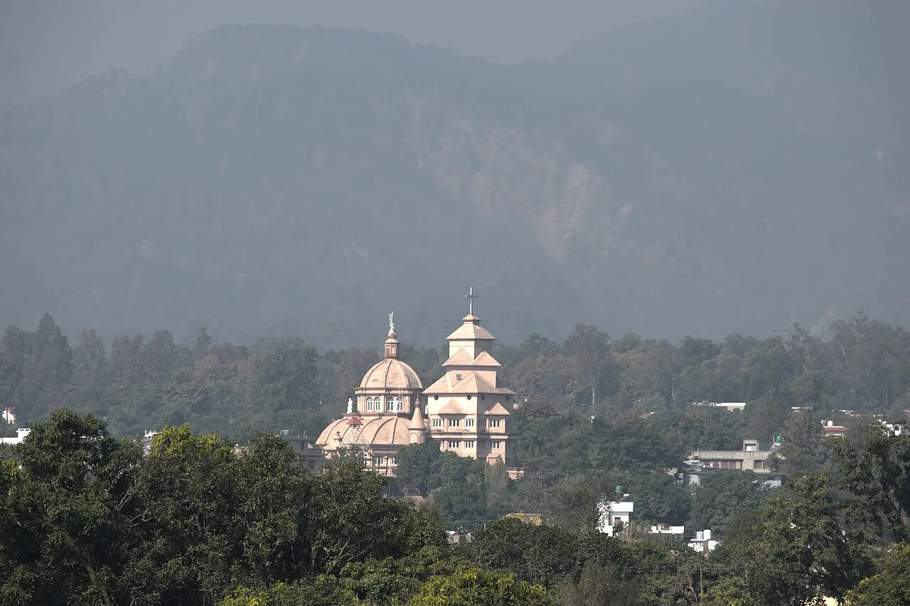
Kashipur is a city in Uttarakhand’s Udham Singh Nagar district. Visitors encounter its links to Kumaun’s history and the Indian Institute of Management Kashipur, located in the city.

Jim Corbett National Park

32 km away · Nainital district

Jim Corbett National Park

In Uttarakhand’s Nainital district, Jim Corbett National Park is a protected area established in 1936. Visitors come to see its varied habitats and diverse mammal, bird and reptile life.

Ramnagar

32 km away · Nainital district

Ramnagar

Ramnagar is a town and municipal board in Kumaon, Uttarakhand’s Nainital district. Visitors come for its access to Corbett National Park and nearby temples and wildlife areas.

Kotdwar

60 km away · Pauri Garhwal district

Kotdwar

Kotdwar is a city and municipal corporation in Uttarakhand’s Pauri Garhwal district. Travellers come for its role as an entry point to the hills and to visit Sidhbali Temple.

Nainital

62 km away · Nainital district

Nainital

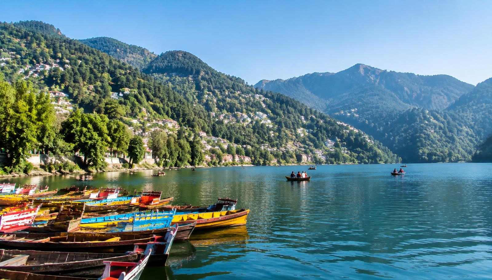
Nainital is a Kumaon hill town in Uttarakhand, centred on Naini Lake. Visitors come for boating and the lakeside, walks along Mall Road, and outings to Snow View and Tiffin Top.

Nainital Lake

62 km away · Nainital district

Nainital Lake

Naini Tal is a tectonic freshwater lake in Nainital, Kumaon, Uttarakhand. Visitors come for recreation around the water, which also features in Kumaoni folklore.

Lansdowne

64 km away · Pauri Garhwal district

Lansdowne

Set in Uttarakhand’s Garhwal Himalayas, Lansdowne is a hill cantonment with British-era military origins. Visitors come to its mountain setting and to learn of its role as the Garhwal Rifles’ headquarters.

Rudrapur

65 km away · Udham Singh Nagar district

Rudrapur

Rudrapur is the administrative centre of Udham Singh Nagar in Uttarakhand and an important industrial and educational hub. People come for its administrative, employment and study-related connections.

Map

Jaspur on the map

  1. 1Kashipur
  2. 2Jim Corbett National Park
  3. 3Ramnagar
  4. 4Kotdwar
  5. 5Nainital
  6. 6Nainital Lake
  7. 7Lansdowne
  8. 8Rudrapur

Uttarakhand

Other cities to explore