
District · Bihar
Aurangabad
Aurangabad lies in south Bihar’s historic Magadh region, west of Gaya and close to the Jharkhand border.
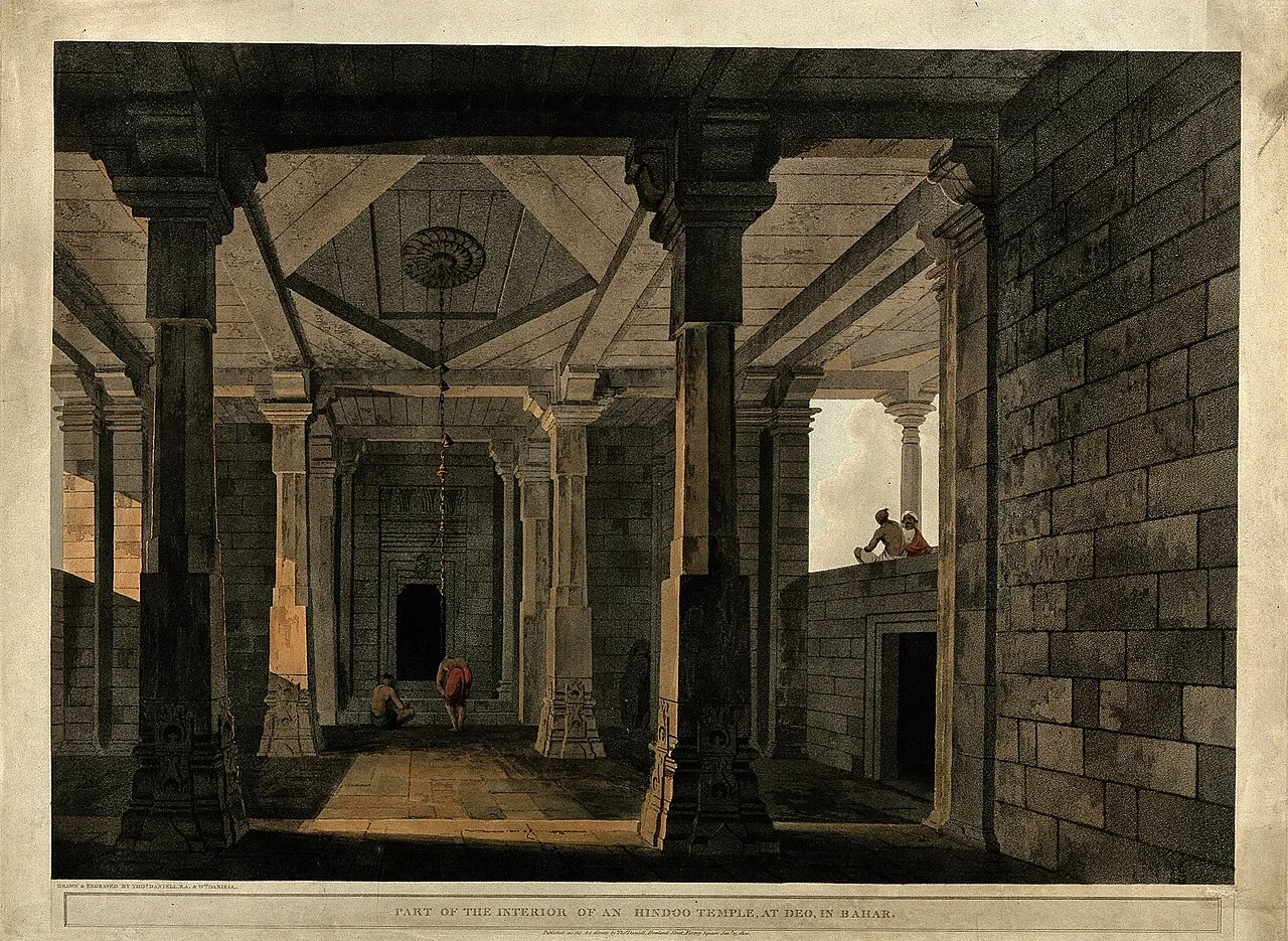
Aurangabad district lies in south Bihar, in the historic Magadh region, with mostly level plains and a rural landscape shaped by farming and seasonal rivers. It borders Jharkhand to the south and sits west of Gaya, linking the state’s central plains with its southern uplands. The area’s history is part of the wider story of Magadh, an important centre of ancient Indian kingdoms and religious traditions. Today, Aurangabad is known for its agricultural towns and villages, as well as places of worship such as the Sun Temple at Deo. Its character is quieter and more locally rooted than that of Bihar’s larger urban centres.
Aurangabad lies in south Bihar’s historic Magadh region, west of Gaya and close to the Jharkhand border. It offers a quieter, largely rural view of Bihar, with agricultural towns and villages set among open plains and seasonal waterways. The district is best known to many visitors for the Sun Temple at Deo, an important place of worship that draws pilgrims, especially around Chhath. Aurangabad can suit travellers interested in regional religious traditions and everyday life beyond the state’s larger cities. It also makes a practical stop along road routes linking central Bihar with Gaya, the Son valley and neighbouring areas.
Aurangabad’s past is closely connected with the wider history of Magadh, a region that became a centre of early kingdoms and religious traditions in eastern India. The Magadhan political sphere expanded under dynasties including the Mauryas, whose empire was established in the third century BCE, and later rulers such as the Guptas. These histories belong to the region broadly; they should not be taken as evidence that every major event or capital was located within today’s district. Buddhism and Jainism also have deep historical associations with Magadh and nearby areas. In later centuries, the region came under successive regional and imperial administrations, before British colonial rule reshaped local governance and land revenue systems. Under the British, the area was administered as part of the wider Gaya district in Bihar. Aurangabad became a separate district in 1973, following its separation from Gaya. Its modern identity remains tied to farming, local markets and religious sites such as the Sun Temple at Deo.
Food in Aurangabad reflects the wider Magadh and Bihar kitchen. Litti chokha and sattu paratha are familiar savoury choices, while chana ghugni, thekua and malpua are also found across the region. Tilkut is associated especially with Gaya, and khaja with Silao in Nalanda; these are regional specialties rather than dishes unique to Aurangabad. Small eateries may prepare a limited menu each day, so ask what is fresh. Vegetarian meals are widely available, and some towns also offer non-vegetarian food. For journeys to remote sites, carry water and snacks, as food stops may be scarce.
Aurangabad does not have a widely documented signature craft comparable to some better-known craft centres in Bihar. In the district and the surrounding Magadh region, practical village crafts such as pottery, bamboo and cane work, and weaving may be found, though availability varies by locality. These are best understood as part of everyday rural livelihoods rather than as a single district-wide tradition. Visitors interested in locally made goods can ask in market areas about nearby artisans and current products; do not assume that a craft associated with another part of Bihar is made locally.
Chhath is the district’s most prominent public festival, observed in the autumn and again in spring. Worshippers gather at water bodies and at the Sun Temple in Deo, where the festival can bring substantial crowds and make nearby accommodation harder to find. Deo is also associated with a seasonal Surya worship fair, which adds to visitor numbers around festival periods. Holi, Diwali and other widely celebrated Hindu festivals are observed in towns and villages. Travellers planning a visit during major observances should allow extra time for road congestion and check lodging availability ahead; the scale of local events can vary from year to year.
Elsewhere in Bihar
Aurangabad is mainly a district of level or gently rolling plains, with extensive farmland and settlements connected by rural roads. The Son river forms part of the broader western regional setting, while smaller rivers and seasonal streams influence local fields and crossings. Toward the south, the land rises gradually in the direction of Jharkhand, though the district is not generally a hill destination. The agricultural landscape means journeys often pass through villages and open countryside rather than continuous urban development. Seasonal water levels and rain can affect smaller roads, so rural excursions may take longer during and just after the monsoon.
Aurangabad has hot summers, a monsoon season and cooler, generally drier winters. Summer heat can make midday sightseeing tiring, particularly on exposed roads or around open temple grounds. Monsoon rains bring greener fields but can also leave village roads muddy or slow travel. Winter, from roughly November into February, is usually the most comfortable season for exploring the district. The months around the monsoon’s onset and retreat can also be pleasant, though conditions vary. Pack light, breathable clothing for warm weather, a hat and sun protection; in winter bring a light jacket, and during the rainy season carry rain protection and footwear suitable for wet surfaces.
Aurangabad district is served by road links connecting it with Patna, Gaya and neighbouring districts, including routes along the Grand Trunk Road corridor. Gaya Airport is a nearby air gateway, while Patna has more extensive connections. Rail access depends on the destination within the district: Anugraha Narayan Road and Dehri-on-Sone are useful stations for different areas, and Gaya Junction is another regional gateway. From towns and stations, buses, shared vehicles and auto-rickshaws can help with local journeys; private transport is useful for rural sites such as Deo. Check current services locally before travelling.
Road is the most practical way to move around Aurangabad district. Aurangabad town and Deo are connected through the local road network, while larger routes link the district with Gaya, Patna and neighbouring areas. Local buses and shared vehicles serve some town-to-town journeys, but services and onward connections to villages can be limited or change during the day. Auto-rickshaws are useful for shorter trips within towns; a hired car or taxi offers more flexibility for reaching Deo and rural areas. Arrange return transport in advance when travelling beyond town centres, particularly on festival days or during heavy rain.
2 days: Deo; sleep in Deo on the first night, or use Aurangabad town as a base. 3 days: Deo on the first and second days; sleep in Deo on the first night and Aurangabad town on the second.
Aurangabad town is a practical base for road connections and basic services, while Deo is convenient for visitors focused on the Sun Temple and its festival traditions. Accommodation is generally modest, with hotels and guesthouses more likely in the larger town. Basic lodging or dharamshalas may be available around religious sites, but facilities and availability can be limited. Do not assume homestays or government lodges are operating; confirm options locally before travelling, especially during Chhath and other busy periods.
Use care on rural roads, which may be uneven, poorly lit or slowed by monsoon rain; avoid assuming that every village route is passable in wet weather. Carry drinking water and use reliably treated or sealed water, particularly in hot months. There are no major wilderness hazards typical of a wildlife destination, but take ordinary care around rivers and crowded water edges. Festival gatherings can cause congestion, so keep belongings secure and agree on a meeting point. Mobile connectivity may be weaker outside towns. No special permit is generally required for ordinary visits, but confirm officially if plans involve restricted areas or change.
- Rohtasabout 48 km
- Gayaabout 59 km
- Jehanabadabout 75 km
- Chatra · Jharkhandabout 85 km
- Palamu · Jharkhandabout 89 km
- Kaimurabout 94 km
- Buxarabout 110 km
- Nalandaabout 116 km
Straight-line distance between the centres of each district's destinations; road distance is longer.
Q: How many days should I spend in Aurangabad district? A: One or two days can cover Deo at an unhurried pace; allow longer if combining the visit with wider regional travel. Q: When is the best time to visit? A: Winter is usually the most comfortable season. Chhath is significant but brings larger crowds and busier accommodation. Q: What is the best base for visiting Deo? A: Deo is convenient for the temple, while Aurangabad town offers a broader base for local road connections and services. Q: How do I get to Aurangabad district? A: Road connections link it with Patna, Gaya and nearby districts. Anugraha Narayan Road and Dehri-on-Sone are useful rail gateways for different parts of the district; check current connections before travel. Q: Is Aurangabad suitable for families or elderly travellers? A: Yes, with planning. Choose accommodation with suitable facilities, limit travel in summer heat, and expect crowds and walking around temple areas during festivals.
This page draws on our 1 destination guides for Aurangabad and is updated as our team checks it.
Be the first to share photos, stories, advice or a helpful contact for Aurangabad.
Loading…