
District · Bihar
West Champaran
West Champaran offers a mix of agricultural north Bihar, borderland town life and forested foothills that is uncommon elsewhere in the state.
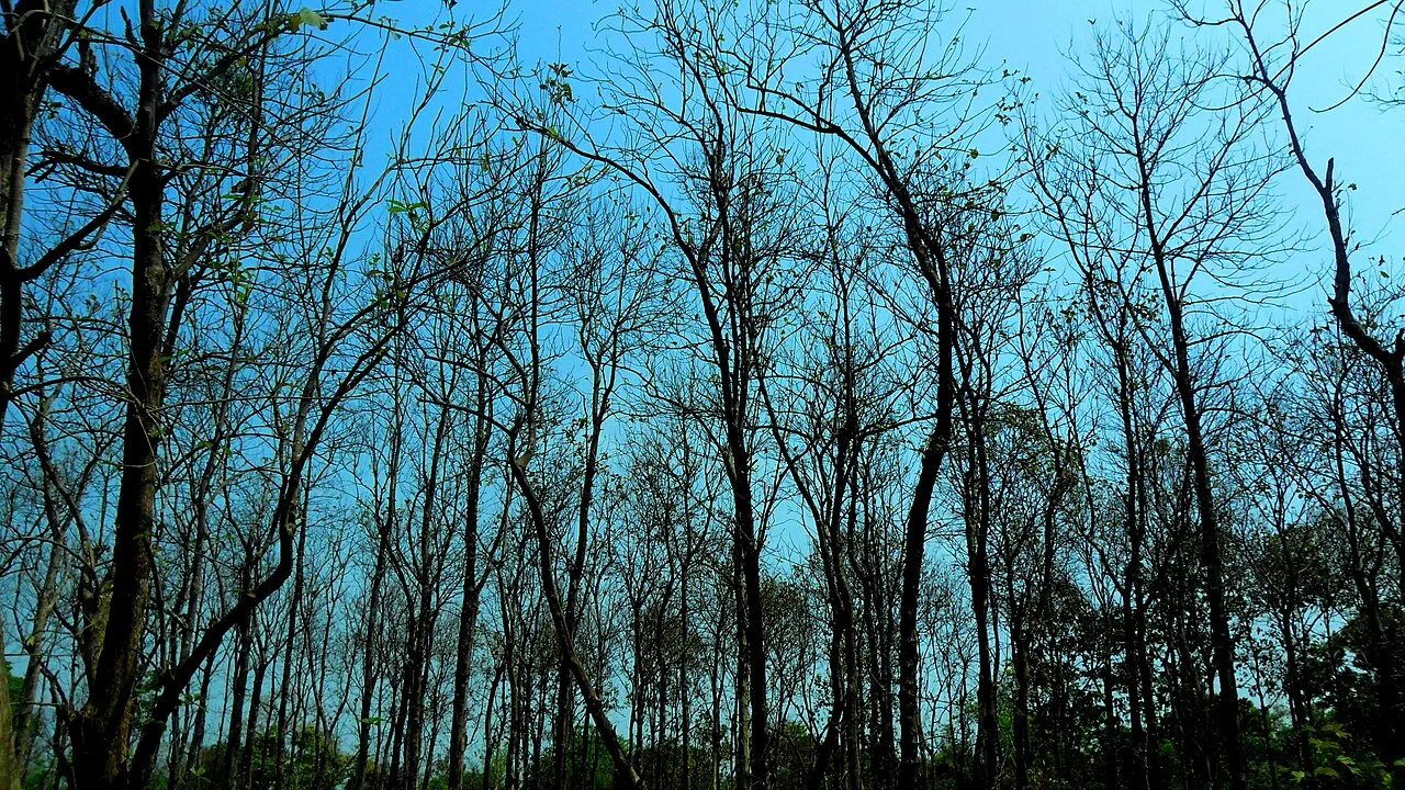
West Champaran occupies Bihar’s northwestern edge, adjoining Nepal and Uttar Pradesh. Its landscape runs from cultivated plains and Gandak river country to the forested Himalayan foothills around Valmiki National Park and Tiger Reserve. These forests give the district a markedly different character from Bihar’s more densely settled central plains. Bettiah, the district headquarters, carries the legacy of the Bettiah Raj, while the wider Champaran region is closely associated with Gandhi’s 1917 satyagraha against oppressive indigo cultivation arrangements. Tharu communities are an important part of the northern district’s cultural landscape. Travel here combines small-town life, agricultural countryside and wildlife tourism, with journeys into the forest requiring more planning than visits to the main towns.
West Champaran offers a mix of agricultural north Bihar, borderland town life and forested foothills that is uncommon elsewhere in the state. It is best known for Valmiki National Park and Tiger Reserve, where the plains rise towards the Himalayan foothills, and for its place in the wider Champaran story of Gandhi’s 1917 satyagraha against coercive indigo cultivation. Bettiah, the district headquarters, reflects the history of the Bettiah Raj, while Tharu communities contribute to the cultural life of the north. Come for wildlife and rural landscapes, allowing extra time to plan travel into forest areas.
The wider north Bihar region has been shaped by successive eastern Indian powers, including the Mauryas and Guptas, though their influence should not be read as a precise boundary around today’s district. In later centuries, changing regional and imperial administrations governed this frontier. Bettiah grew as the centre of the Bettiah Raj, a landed estate whose rulers and institutions left a lasting mark on the town and surrounding countryside. Under British rule, indigo cultivation became a source of coercive contracts and disputes between European planters and cultivators. In 1917, Gandhi came to Champaran after peasants sought support; the resulting satyagraha challenged the oppressive indigo arrangements and became an important episode in India’s freedom movement. The historic Champaran district was divided into East and West Champaran in 1972, with Bettiah as the headquarters of West Champaran. The district’s location beside Nepal and its forested northern borderlands have also shaped settlement, livelihoods and administration.
Food in West Champaran draws on the hearty cooking traditions of Bihar and the adjoining Bhojpuri-speaking region. Litti chokha, sattu-filled parathas and chana ghugni are useful dishes to look for, alongside everyday meals of rice, dal, vegetables and roti. Thekua is strongly associated with Chhath celebrations across Bihar, while malpua appears among the region’s festive sweets. Champaran-style handi meat is associated with the wider Champaran region rather than this district alone. Small eateries may prepare only a limited daily menu, so ask what is freshly cooked. For forest excursions, carry drinking water and snacks rather than assuming restaurants will be available.
The district’s craft traditions are best approached through everyday rural materials and the cultural practices of its Tharu communities. Basketry and woven household objects made from bamboo or grasses form part of the wider Terai region’s practical craft heritage. Availability for visitors varies, and these objects are not necessarily sold through organised craft shops. Madhubani painting is a better-known Bihar art tradition, but its principal association is with Mithila, not West Champaran. When buying locally, ask where an item was made and who made it rather than assuming every Bihar souvenir represents a district tradition.
Chhath, observed in spring and autumn, is a major festival across Bihar, with prayers at rivers and ponds and busy travel around its observances. Holi, Diwali and Durga Puja are also celebrated in towns and villages; Eid is marked by Muslim communities. Local religious gatherings and fairs may take place around shrines and seasonal events, though dates and scale vary by place. Festival periods can make town roads busier and reduce room availability, especially around Bettiah and other service centres. Book ahead when travelling during major holidays.
Elsewhere in Bihar
The district extends from cultivated plains and river country to forested foothills along the Nepal border. The Gandak and other waterways shape low-lying farmland, while the northern forests and hills form the setting for Valmiki National Park and Tiger Reserve. This change in terrain makes travel more than a simple town-to-town journey: forest access depends on the chosen entrance, local road conditions and arrangements made in advance. Monsoon waterlogging or flooding can affect some routes, and distances between services may feel significant in remote areas.
West Champaran has hot summers, a rainy monsoon season and cooler winters. Summer days can be uncomfortable for long road journeys or outdoor activity. Monsoon rains refresh the countryside but may bring waterlogged roads, flooding and disruption to access, particularly near rivers and forest routes. Winter, broadly from November to February, is generally the most comfortable season for exploring towns and planning a forest visit; October and early spring can also suit travel, subject to local conditions. Pack light, breathable clothing for warmer months, a rain layer and shoes with grip during the monsoon, and warm layers for winter mornings and evenings.
Bettiah is a useful arrival point for the district, with railway connections also available through Narkatiaganj Junction and Bagaha. For Valmiki National Park, choose your rail stop and onward transfer according to the entrance or accommodation you have booked. Patna’s Jay Prakash Narayan Airport is an established air gateway, followed by an onward road or rail journey. Roads connect the district with Motihari and other towns in northern Bihar. Buses, shared vehicles and auto-rickshaws serve towns and local routes; a hired vehicle can be more practical for remote forest areas. Monsoon conditions may affect access, so check current services locally.
Bettiah, Bagaha and Narkatiaganj are useful road and rail-linked centres, with roads connecting them to other towns in the district and northern Bihar. Local buses, shared vehicles and auto-rickshaws serve town routes, though frequency and coverage can be limited outside busier corridors. For Valmiki National Park, arrange onward transport to the entrance or accommodation you have booked; a hired vehicle can be useful for less-served areas. Do not assume that local public transport will connect directly to a forest gate. River travel is not a general substitute for road transport.
2 days: Valmiki National Park; sleep one night near your booked park access point. 3 days: Valmiki National Park; sleep two nights near the park or in Bagaha, according to your entry arrangements. 4 days: Valmiki National Park; sleep two nights near your booked park access point and one night in Bagaha or Bettiah.
Bettiah is a practical base for district travel and town services, while Bagaha can suit visitors arranging access to the northern forest. For a park-focused trip, stay near the entrance or accommodation area confirmed with your booking, as options can be limited and seasonal. Towns generally offer hotels and basic guesthouses; homestays and government or forest-related lodges may be available in some areas but should be checked directly. Dharamshalas may serve particular communities or events and are not a guaranteed option for every traveller.
In forest areas, follow park staff instructions, stay with authorised guides or groups where required, and never approach or feed wildlife. Confirm entry arrangements and any protected-area permits with official park or forest authorities before travelling; requirements can vary by activity and access point. Carry treated or sealed drinking water and routine medicines, and plan for limited shops and services outside towns. Monsoon rain can affect roads and river crossings, so check local conditions before setting out. Mobile coverage may be unreliable near the forest. Use extra care on rural roads after dark and allow flexibility for delays.
- Kushinagar · Uttar Pradeshabout 71 km
- East Champaranabout 87 km
- Gorakhpur · Uttar Pradeshabout 101 km
- Sitamarhiabout 156 km
- Vaishaliabout 174 km
Straight-line distance between the centres of each district's destinations; road distance is longer.
Q: How many days should I spend in West Champaran? A: Two days can work for a brief park-focused visit; three or four days allow more time for transfers and changing local conditions. Q: When is the best time to visit? A: Winter is generally the most comfortable season. Check current conditions and park access before travelling in any season. Q: What is the best base for visiting Valmiki National Park? A: Stay near the park access point confirmed for your booking, or use Bagaha if it suits your onward transfer. Bettiah is useful for town services. Q: How do I get to the district? A: Bettiah, Narkatiaganj and Bagaha have rail connections. Patna is an air gateway, followed by an onward road or rail journey. Q: Is West Champaran suitable for families or elderly travellers? A: Town visits can suit many travellers, but forest trips may involve long transfers, uneven conditions and limited services. Choose a suitable itinerary and confirm access needs in advance.
This page draws on our 1 destination guides for West Champaran and is updated as our team checks it.
Be the first to share photos, stories, advice or a helpful contact for West Champaran.
Loading…