Ghumoopedia — Explore, Discover, Experience
Sign in
Kufri, near Narkanda

City guide · Himachal Pradesh

Narkanda

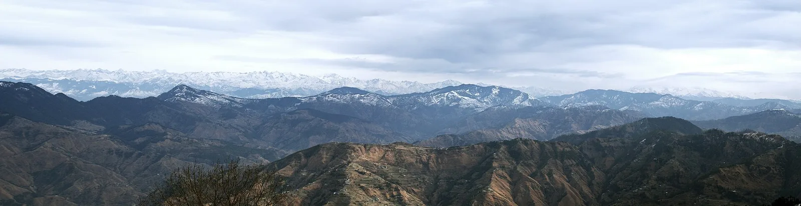
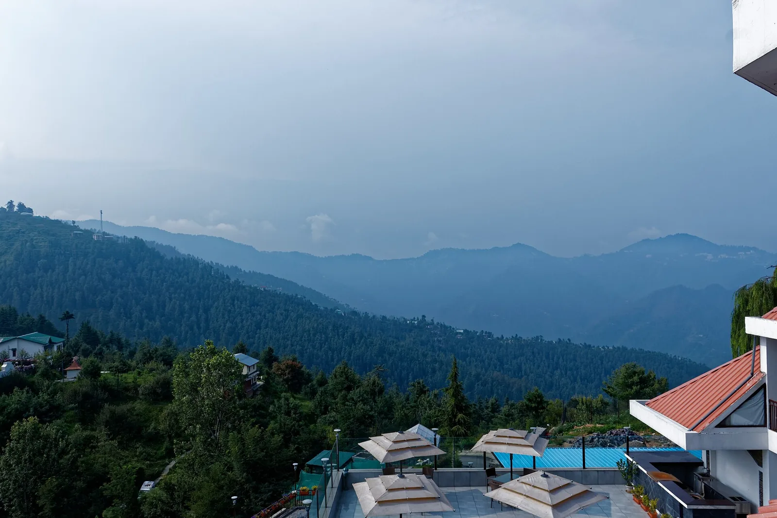
At about 2,708 metres in Shimla district, Narkanda is a small hill town on National Highway 5, the route linking Shimla with Kumarsain and Rampur. Fir and other temperate forests frame the town, while the surrounding slopes open onto broad Himalayan views.

Famous for

  • Hatu Peak
  • Winter skiing
  • Apple-growing country
  • Himalayan forest scenery
  • Hindustan-Tibet Road

Why Narkanda matters

At about 2,708 metres in Shimla district, Narkanda is a small hill town on National Highway 5, the route linking Shimla with Kumarsain and Rampur. Fir and other temperate forests frame the town, while the surrounding slopes open onto broad Himalayan views. Its position makes it both a place to pause on a journey through the hills and a base for exploring the upper Shimla region.

Visitors come for Hatu Peak, about 8 kilometres away, its temple and mountain panoramas, as well as for winter skiing when snow conditions allow. In warmer months, the orchards and forest roads draw walkers and travellers seeking a quieter alternative to busier Shimla. Nearby Kotgarh and Thanedhar are closely associated with Himachal Pradesh’s apple-growing economy and the work of Satyananda Stokes, who helped establish apple cultivation in the area. Narkanda’s importance today rests on this mix of road access, outdoor recreation and agricultural hinterland rather than on a large town centre.
Famous for: crafts, trade & products

Narkanda is best known commercially as a gateway to the apple belt around Kotgarh and Thanedhar, rather than as a centre for textiles, handicrafts or a large-scale market. Apple orchards are a defining feature of the surrounding countryside, and growers also cultivate other fruit, including cherries. During harvest periods, visitors may find local fruit and seasonal produce offered by roadside sellers and small shops, though availability varies. For a closer look at orchard country, travel towards Kotgarh and Thanedhar, where farms and village roads reveal how fruit growing shapes the regional landscape.

The town has everyday shops and eateries along its main road, but it is not a specialist shopping destination. Locally made apple juice, jams or other processed fruit products may be available in shops, but selection is seasonal and varies; check labels and ask about origin if buying. There is no need to expect a dedicated craft bazaar or a prominent local textile tradition. Narkanda’s most distinctive “product” is its access to the surrounding orchards and mountain scenery, with small businesses serving travellers and the local community.

History

Narkanda’s growth has been closely tied to its position on the Hindustan-Tibet Road, the mountain route connecting Shimla with settlements farther north and east. The wider area was associated with the princely state of Kumarsain, and Narkanda is now within Kumarsain subdivision of Shimla district. Its role as a roadside settlement expanded as travel and administration connected the hill communities more closely with Shimla.

During the British period, Shimla’s emergence as a major administrative and summer centre increased movement through the surrounding hill routes. The nearby Kotgarh area later became important in the development of commercial apple growing. Satyananda Stokes, an American-born social reformer who settled in the region, helped promote apple cultivation, transforming local farming and livelihoods. After Indian independence, the area became part of Himachal Pradesh; the state attained full statehood in 1971. In recent decades, Narkanda has developed as a small service centre and visitor stop, known for winter recreation, access to Hatu Peak and the orchards and villages along the road.

Food, festivals & culture

Daily life reflects the farming villages and mountain communities of the upper Shimla hills. Hindi and local Pahari varieties are commonly heard. Meals may include familiar Himachali dishes such as siddu, madra and food served in a traditional dham, alongside everyday North Indian fare. Menus vary between homes and eateries, and Narkanda is not known for a single signature sweet or restaurant dish. Apples and other seasonal fruit are part of the local agricultural identity.

Hindu festivals such as Dussehra in autumn and Shivratri in late winter or early spring are observed in the region, with local fairs and village customs varying from place to place. Folk music and nati dance are part of wider Himachali cultural life and may feature at community celebrations. Hatu Mata Temple, on Hatu Peak above the town, is an important place of worship as well as a destination for visitors. Smaller temples and shrines serve nearby villages; respectful clothing and conduct are appropriate at religious sites.

Visiting the city

For mild weather and walks, April to June and September to October are good choices. Winter, usually December to February, brings the possibility of snow and skiing, but conditions and road access can change; check locally before setting out. The nearest airport is Shimla Airport at Jubbarhatti, while Shimla railway station is the closest station on the narrow-gauge line. Kalka is a major railhead for onward journeys into the hills.

Narkanda is about 60 kilometres from Shimla by road. Buses and taxis connect the towns, while local taxis are useful for Hatu Peak and nearby villages; walking suits the bazaar and shorter outings. Explore the main-road bazaar, the route to Hatu Peak, and the orchard country around Kotgarh and Thanedhar. Mountain roads can be slow, especially in snow or monsoon weather.

Trips from the city

Nearest places to visit from Narkanda

Our closest destination guides, by straight-line distance.

Kufri

26 km away · Shimla district

Kufri

Kufri is a hill resort in Shimla district, Himachal Pradesh, visited for its highland setting, wildlife zoo and winter skiing across potato fields.

Mashobra

26 km away · Shimla district

Mashobra

Mashobra is a town in Himachal Pradesh’s Shimla district. Visitors interested in its historic link with Shimla can follow the connection made by the Hindustan–Tibet Road.

Rampur Bushahr

27 km away · Shimla district

Rampur Bushahr

Rampur Bushahr is a town and municipal council in Himachal Pradesh’s Shimla district, beside the Satluj. Travellers can reach it via National Highway 5, which connects it with nearby towns.

Christ Church

32 km away · Shimla district

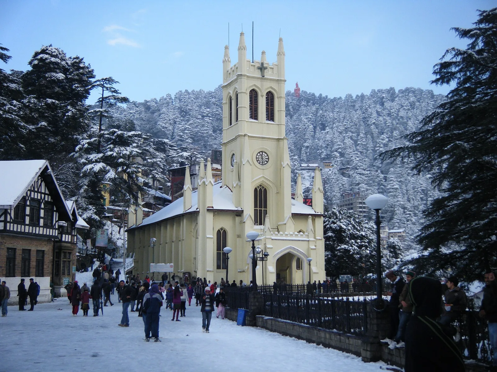
Christ Church

Visitors come to Christ Church in Shimla to worship and see a church ranked second in age across North India.

Jakhu Temple

32 km away · Shimla district

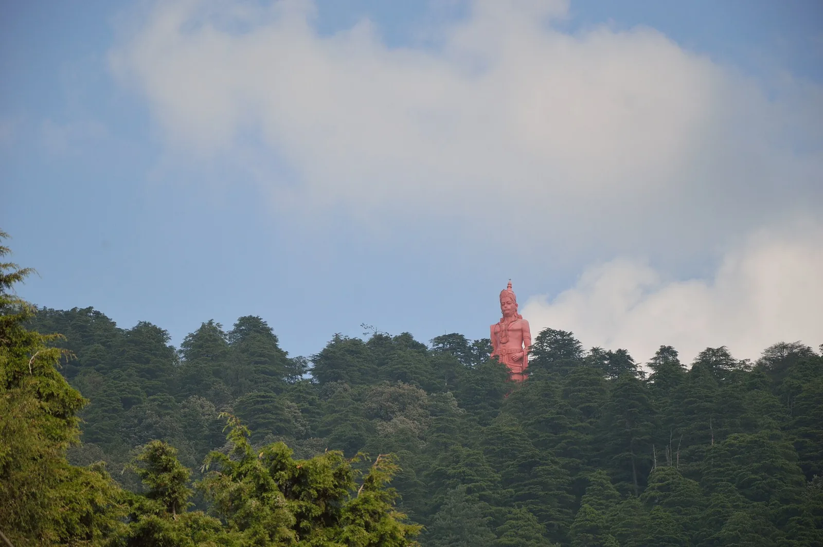
Jakhu Temple

Jakhu Temple is a Hindu shrine dedicated to Hanuman on Shimla’s Jakhu Hill. Visitors come to worship, attend its Dussehra festival and see the large Hanuman statue.

Shimla

32 km away · Shimla district

Shimla

Shimla, Himachal Pradesh’s largest city, is known for its colonial-era buildings, religious sites and mountain setting. Visitors also come for the Kalka–Shimla Railway and the city’s historic landmarks.

32 km away · Shimla district

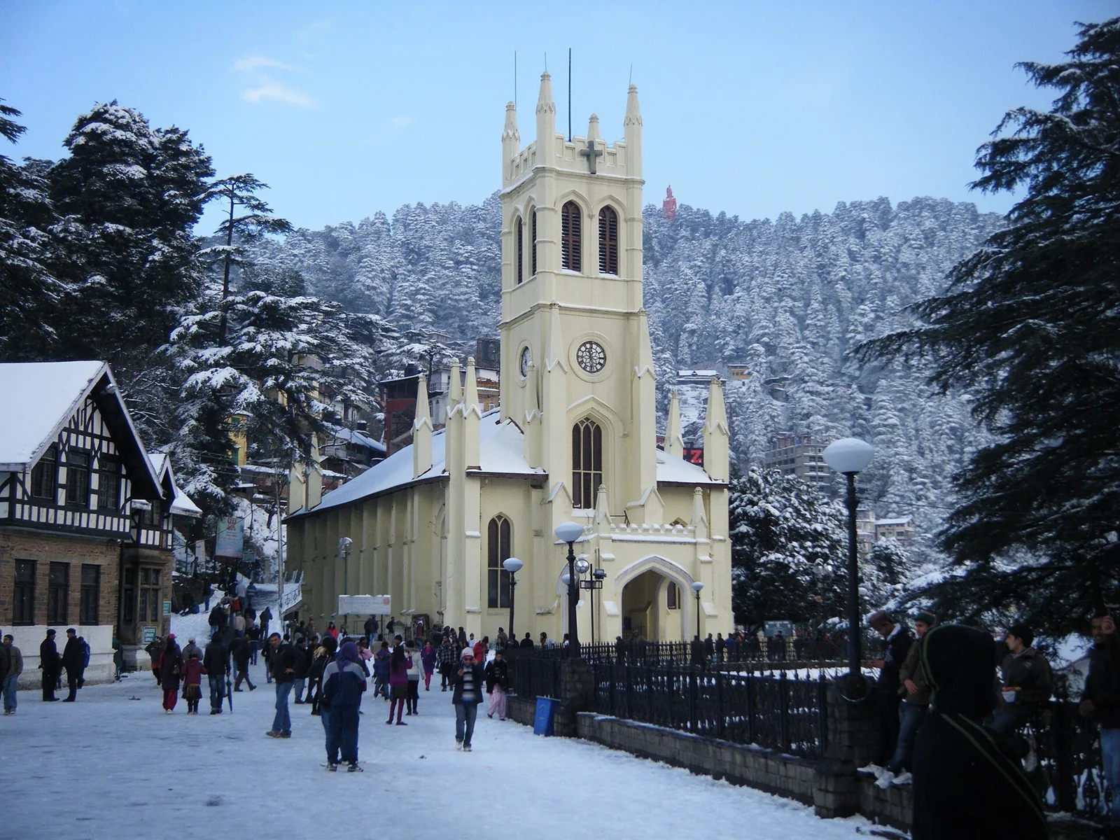
The Ridge

A central open space in Shimla, The Ridge is a cultural gathering point beside the Mall Road. Visitors come to see its historic church and library, statues, and links to nearby parts of the town.

Tattapani

35 km away · Shimla district

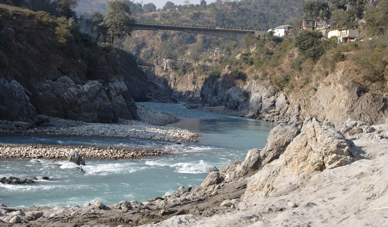
Tattapani

Tattapani is a village in Himachal Pradesh, known for its hot-water springs. Visitors come to see the springs beside the Satluj, on the river’s right bank.

Map

Narkanda on the map

  1. 1Kufri
  2. 2Mashobra
  3. 3Rampur Bushahr
  4. 4Christ Church
  5. 5Jakhu Temple
  6. 6Shimla
  7. 7The Ridge
  8. 8Tattapani

Himachal Pradesh

Other cities to explore