Ghumoopedia — Explore, Discover, Experience
Sign in
Kasauli, near Nalagarh

City guide · Himachal Pradesh

Nalagarh

Nalagarh is a town in Solan district, set where the plains of Punjab meet the lower Shivalik foothills. Its location gives it a practical role as a gateway between north-western India and the hill districts of Himachal Pradesh.

Famous for

  • Nalagarh Fort
  • BBN industrial belt
  • Shivalik foothill views
  • Sirsa river landscape
  • Himachali-Punjabi influences

Why Nalagarh matters

Nalagarh is a town in Solan district, set where the plains of Punjab meet the lower Shivalik foothills. Its location gives it a practical role as a gateway between north-western India and the hill districts of Himachal Pradesh. It is also part of the Baddi-Barotiwala-Nalagarh (BBN) industrial belt, an important centre for manufacturing and employment in the state.

Visitors come chiefly for Nalagarh Fort, a historic hilltop landmark with views towards the Shivalik hills and the Sirsa river valley. The town offers a quieter, more low-key stop than Himachal’s larger hill stations, with a mix of historic architecture, foothill scenery and everyday market life. Its position within reach of Chandigarh and its road connections make it useful as a base for exploring the surrounding industrial towns and countryside. Nalagarh is also shaped by its borderland character: Hindi, Punjabi and regional Pahari influences meet in its speech, food and daily culture.
Famous for: crafts, trade & products

Nalagarh’s most recognisable landmark is its fort, while its contemporary identity is closely tied to the Baddi-Barotiwala-Nalagarh industrial belt. The wider cluster has a substantial manufacturing presence, including pharmaceuticals, consumer goods, engineering and packaging. These are industries rather than visitor-oriented crafts or a specialist retail market; Nalagarh is not widely identified with a particular textile, handicraft or GI-tagged product.

For everyday shopping, the town’s local bazaar is the practical place to look for groceries, household items, clothing and regional snacks. It serves residents and nearby communities rather than functioning as a destination market for artisan goods. Visitors interested in the industrial side of the area will find businesses and workplaces spread across the BBN corridor, especially around the neighbouring industrial towns; access is generally arranged through individual businesses, not as a sightseeing circuit. The fort and its surrounding viewpoints are the town’s strongest visitor draw, offering a sense of its historic setting and landscape. For locally made souvenirs, ask in town shops about what is available rather than expecting a widely recognised Nalagarh craft tradition.

History

Nalagarh’s history is closely associated with the former princely state of the same name. Nalagarh Fort was built in 1421 during the reign of Raja Bikram Chand, on a hillock above the plains. Its position overlooking the Sirsa river and the Shivalik foothills made it a prominent seat of power and gave the state its name.

The region was overrun by Gurkha forces for a period before the British drove them out in 1815 and confirmed the ruler in possession of the territory. During British rule, Nalagarh remained a princely state under indirect British authority and was counted among the Simla hill states. Agriculture, including grain and opium cultivation, was important in its earlier economy. Following independence and the reorganisation of the region, Nalagarh became part of Himachal Pradesh. In recent decades, its position near the Punjab border and its road links have helped it grow as a town within the Baddi-Barotiwala-Nalagarh industrial belt.

Food, festivals & culture

Nalagarh’s food reflects both Himachali and Punjabi influences. Everyday meals commonly draw on wheat, lentils, seasonal vegetables and dairy; visitors may also encounter regional Himachali dishes such as madra, siddu or dham-style preparations, alongside Punjabi favourites. Sweets and snacks are available in local shops, though the town is not especially known for a signature confection.

Hindi and Punjabi are widely heard, with Pahari and Puadhi also part of the area’s linguistic mix. The cultural calendar follows festivals celebrated across north India: Lohri and Baisakhi reflect Punjabi traditions, while Holi, Dussehra and Diwali bring seasonal gatherings and worship. Folk music and dance from the surrounding Himachali and Punjabi regions may feature at community events and family celebrations. Temples and gurdwaras serve local worshippers and visitors; the town’s religious life is part of its everyday character rather than a single major pilgrimage draw.

Visiting the city

October to March is generally a comfortable season for exploring Nalagarh and its fort; summer can be warm, while the monsoon may bring wet roads and changing hill conditions. The nearest airport for most visitors is Chandigarh International Airport. Chandigarh Junction is a major railway station serving the area; onward travel to Nalagarh is by road.

Taxis and buses connect Nalagarh with Chandigarh, nearby towns and the wider BBN corridor. Within town, local vehicles and short walks are useful, while a taxi is convenient for reaching places outside the centre. Explore the fort and its hilltop setting, the main bazaar and nearby stretches of the Sirsa river valley. Baddi and Barotiwala offer a look at the industrial belt, while the surrounding foothills make worthwhile short drives.

Trips from the city

Nearest places to visit from Nalagarh

Our closest destination guides, by straight-line distance.

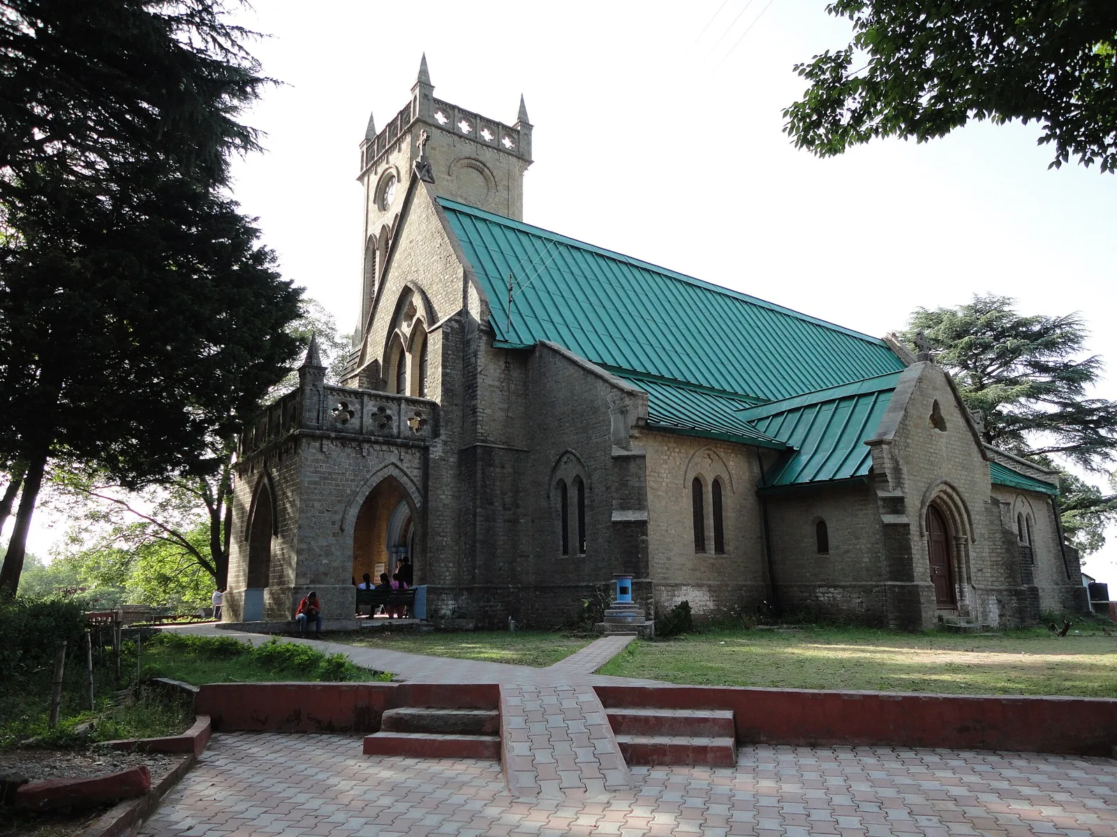
Kasauli

28 km away · Solan district

Kasauli

Kasauli is a town and cantonment in Himachal Pradesh’s Solan district. Visitors come for its colonial hill-station history and its setting within reach of nearby cities.

Kalka–Shimla Railway

29 km away · Shimla district

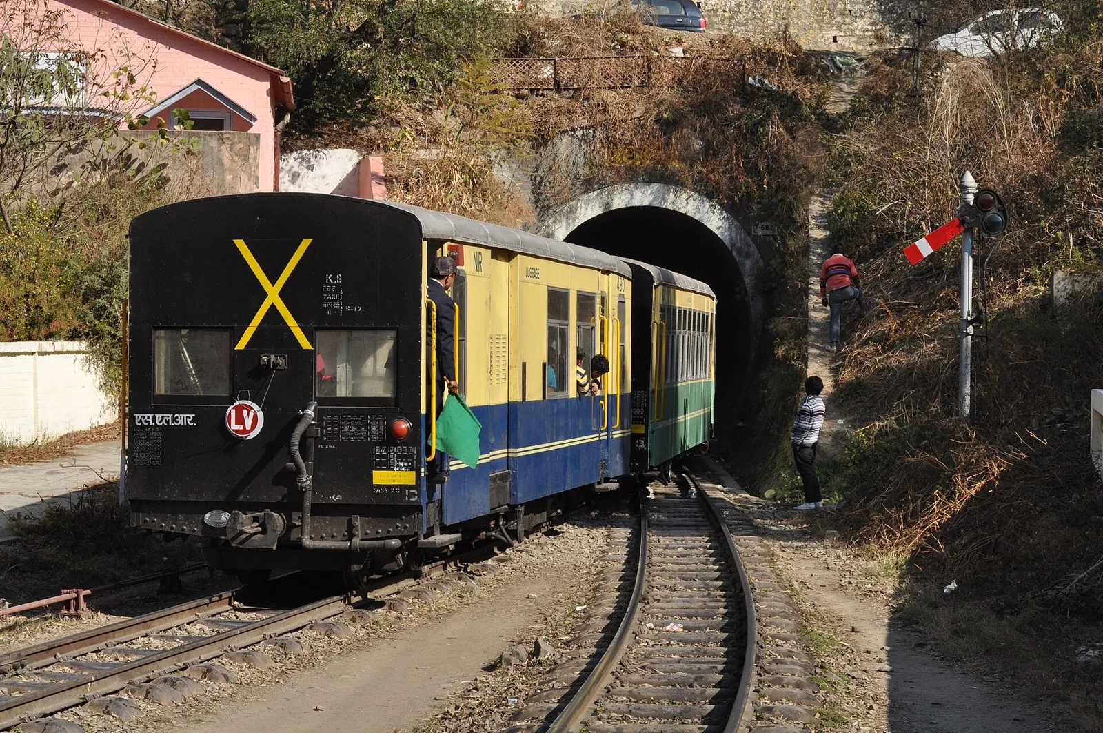
Kalka–Shimla Railway

This narrow-gauge railway connects Kalka and Shimla across the hills of northern India. Visitors travel the route for views of the mountainous landscape and nearby villages.

Solan

39 km away · Solan district

Solan

Solan is a Himachal Pradesh city and district centre in the Shivalik Hills between Chandigarh and Shimla. Visitors come for its temples, monastery, annual Shoolini fair and hill setting.

Tattapani

42 km away · Shimla district

Tattapani

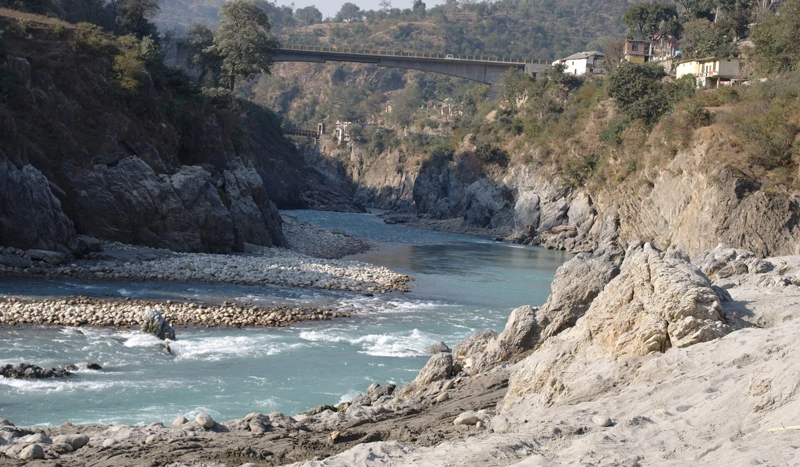
Tattapani is a village in Himachal Pradesh, known for its hot-water springs. Visitors come to see the springs beside the Satluj, on the river’s right bank.

Shimla

43 km away · Shimla district

Shimla

Shimla, Himachal Pradesh’s largest city, is known for its colonial-era buildings, religious sites and mountain setting. Visitors also come for the Kalka–Shimla Railway and the city’s historic landmarks.

Christ Church

44 km away · Shimla district

Christ Church

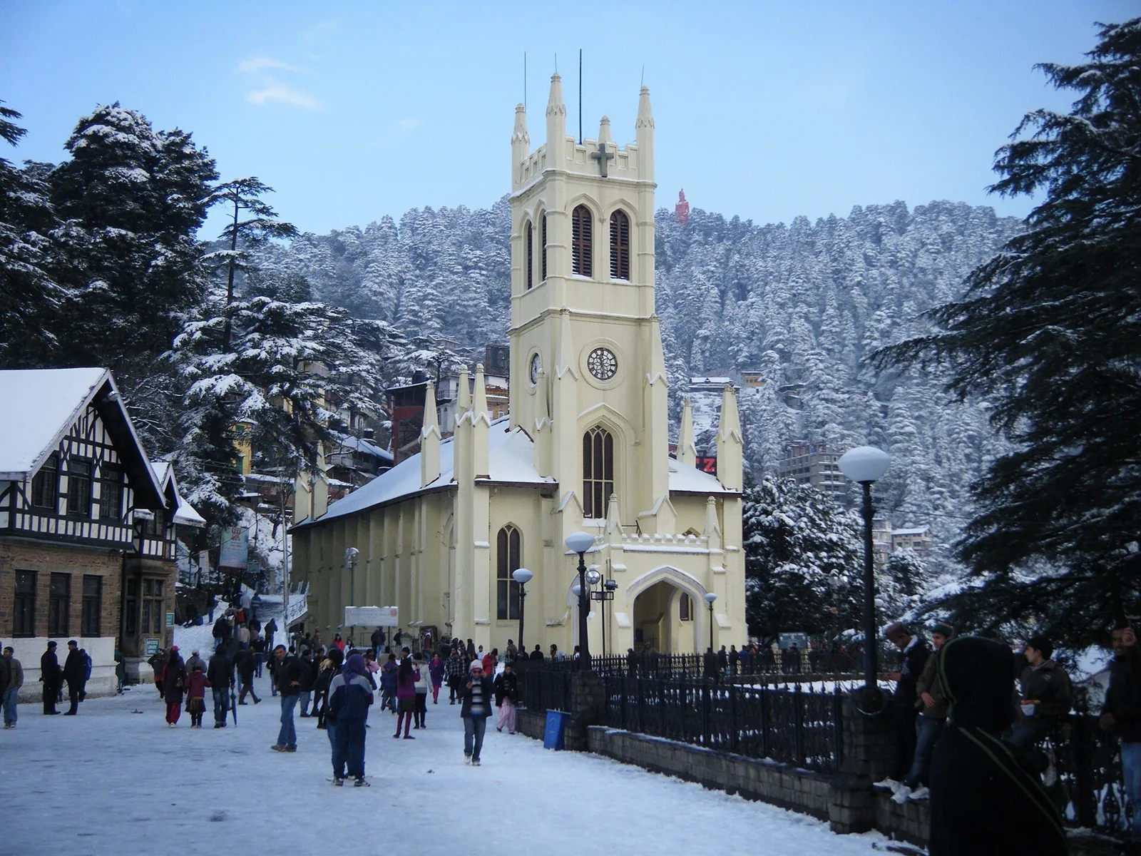
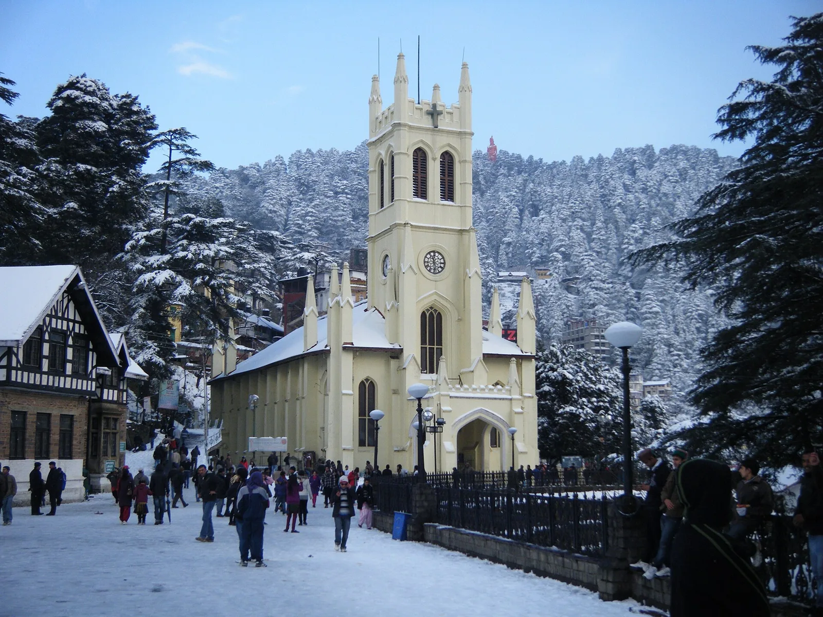
Visitors come to Christ Church in Shimla to worship and see a church ranked second in age across North India.

Jakhu Temple

44 km away · Shimla district

Jakhu Temple

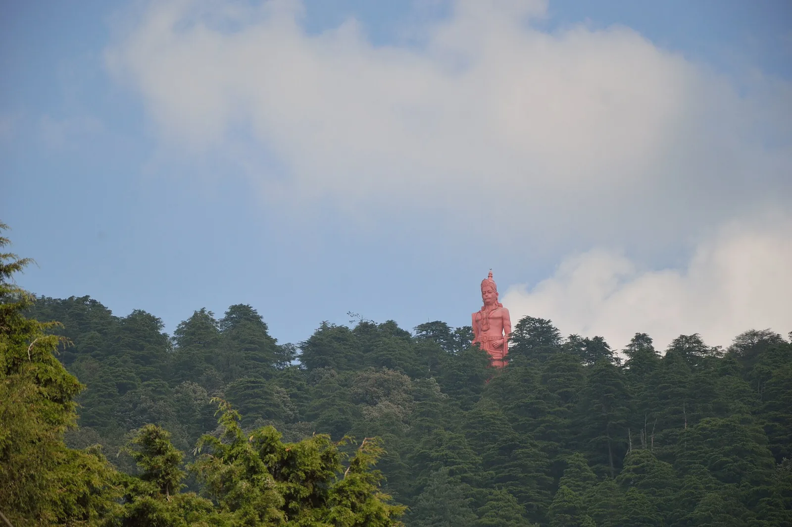
Jakhu Temple is a Hindu shrine dedicated to Hanuman on Shimla’s Jakhu Hill. Visitors come to worship, attend its Dussehra festival and see the large Hanuman statue.

44 km away · Shimla district

The Ridge

A central open space in Shimla, The Ridge is a cultural gathering point beside the Mall Road. Visitors come to see its historic church and library, statues, and links to nearby parts of the town.

Map

Nalagarh on the map

  1. 1Kasauli
  2. 2Kalka–Shimla Railway
  3. 3Solan
  4. 4Tattapani
  5. 5Shimla
  6. 6Christ Church
  7. 7Jakhu Temple
  8. 8The Ridge

Himachal Pradesh

Other cities to explore