Ghumoopedia — Explore, Discover, Experience
Sign in
Amboli, near Ajra

City guide · Maharashtra

Ajra

Ajara is a small taluka headquarters in Kolhapur district, set among the green, rain-fed landscapes of southern Maharashtra. Its location gives it a practical role for nearby villages, while its local markets and civic services make it a regional centre.

Famous for

  • Ajara Ghansal rice
  • Ramtirth
  • Chitra and Hiranyakeshi rivers
  • Green Sahyadri landscapes
Plan a tripHotels near Ajra

Why Ajra matters

Ajara is a small taluka headquarters in Kolhapur district, set among the green, rain-fed landscapes of southern Maharashtra. Its location gives it a practical role for nearby villages, while its local markets and civic services make it a regional centre. Agriculture remains central to the area’s identity, especially the cultivation of Ajara Ghansal rice, a distinctive local grain that has brought the town wider recognition.

Visitors come for the countryside, the rivers that pass through town and Ramtirth, a place associated in local belief with Rama, Lakshmana and Sita during their forest exile. Ajara also lies within reach of Amboli’s hill scenery and the larger services of Kolhapur and Gadhinglaj. It is not a large resort town; its appeal is quieter, rooted in rural life, local food and the landscape. A visit offers a glimpse of a working market town as well as a starting point for exploring the surrounding countryside.
Famous for: crafts, trade & products

Ajara is best known for Ajara Ghansal, a locally grown rice variety recognised with a Geographical Indication tag. The grain is valued as a regional food product and is closely linked to farming in the surrounding taluka. Visitors can look for it at the town’s grocery shops, rice sellers and market stalls; asking for locally produced, clearly labelled Ghansal is a useful way to distinguish it from other rice varieties. Availability may vary with the harvest and season.

The area’s economy is closely tied to agriculture and the trade of everyday farm produce. Ajara is not especially known for a major textile, handicraft or large-scale industrial tradition, so its local identity is more evident in its crops and food than in manufactured souvenirs. The central market area is the most convenient place to browse for rice and other regional provisions and to see the town’s daily commerce. For a closer connection to the product, visitors can ask local sellers about growers and the season’s harvest. Ajara’s small-town scale means shopping is informal rather than organised around a dedicated tourist market.

History

Ajara’s growth has been shaped by its position among farming settlements in the southern Kolhapur region. For generations, the surrounding countryside supplied the town’s everyday trade, while its location helped it serve as a local meeting and market point. The area formed part of the wider political history of the Kolhapur region, associated with Maratha rule and, later, the princely state of Kolhapur. Local history is also carried through religious traditions, including the belief connecting Ramtirth with the Ramayana’s account of Rama’s forest exile.

During the colonial period, Kolhapur remained a princely state under British paramountcy, and Ajara’s development continued within that regional framework rather than as a major colonial city. After independence and the formation of Maharashtra in 1960, Ajara’s role as the headquarters of its taluka became increasingly important for administration and services. Its present-day development is reflected in its Nagar Panchayat status, local commerce and links with nearby towns, while agriculture remains a defining feature of the surrounding area.

Food, festivals & culture

Everyday food in Ajara reflects the agricultural character of the region. Rice, including locally grown Ghansal, is an important staple, alongside familiar Maharashtrian meals of bhakri, vegetables, pulses and spicy curries. Kolhapuri food traditions are influential across the district, though dishes and levels of heat vary between households. Local shops and eateries are the most straightforward places to sample ordinary town meals rather than a menu designed specifically for visitors.

Marathi is the principal language of public life; Kannada is also heard in this border region, along with other languages used by residents and traders. Ganesh Chaturthi, usually celebrated in the monsoon season, and the autumn festivals of Navratri, Dussehra and Diwali bring household and community observances. Holi is marked toward the end of winter. Temples and other places of worship serve as everyday gathering points, while Ramtirth holds particular religious significance through its association with the Ramayana. Local cultural life is closely connected to the calendar of farming, worship and family celebrations.

Visiting the city

The most comfortable time to visit is generally from October to February, when the weather is cooler and the countryside remains green after the monsoon. Rain can make the surrounding landscape especially lush, but heavy showers may affect outdoor plans. Belagavi Airport at Sambre is a useful nearby airport; Kolhapur Airport is another option. Kolhapur’s Chhatrapati Shahu Maharaj Terminus is a principal railhead for reaching the area, with onward road travel to Ajara.

State buses, private vehicles and local taxis connect Ajara with nearby towns; autos are useful for short trips within town. Explore the central market for local produce, then visit Ramtirth and the river surroundings. The town centre is the most practical base for food and services, while nearby rural roads offer views of the green countryside. Allow extra time for travel during the rainy season.

Trips from the city

Nearest places to visit from Ajra

Our closest destination guides, by straight-line distance.

Amboli

28 km away · Sindhudurg district

Amboli

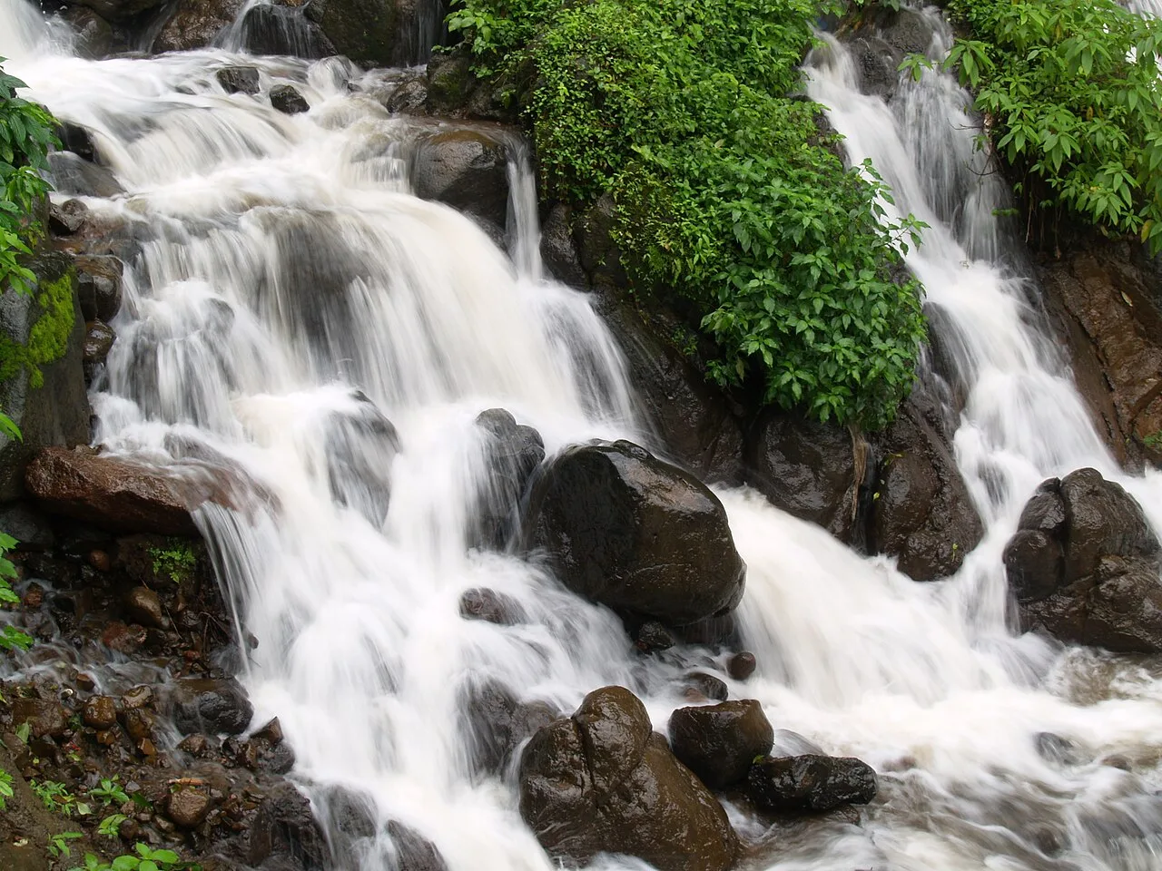
Amboli is a village and hill resort in Maharashtra’s Sindhudurg district. Visitors come for its monsoon rain, waterfalls and mist, and for its setting in the Western Ghats.

Rankala Lake

64 km away · Kolhapur district

Rankala Lake

Rankala Lake is a freshwater lake in Kolhapur, Maharashtra. Visitors can come to see a lake within the city and spend time beside its waters.

Mahalakshmi Temple, Kolhapur

65 km away · Kolhapur district

Mahalakshmi Temple, Kolhapur

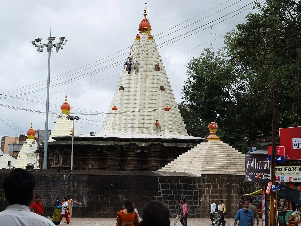
The Mahalakshmi Temple, also called Ambabai Mandir, is a shrine in Kolhapur district, Maharashtra, dedicated to Goddess Mahalakshmi and visited as part of Hindu pilgrimage.

Jyotiba Temple

76 km away · Kolhapur district

Jyotiba Temple

Near Wadi Ratnagiri in Maharashtra’s Kolhapur district, Jyotiba Temple is a Hindu place of worship. People visit the shrine and its annual fair, held at full moon in Chaitra and Vaishakha.

Panhala Fort

78 km away · Kolhapur district

Panhala Fort

Panhala Fort is a hilltop stronghold in Kolhapur district, Maharashtra, overlooking a Western Ghats pass. Visitors come to see its surviving structures and explore its connections with Deccan conflicts and Tarabai.

Sindhudurg Fort

80 km away · Sindhudurg district

Sindhudurg Fort

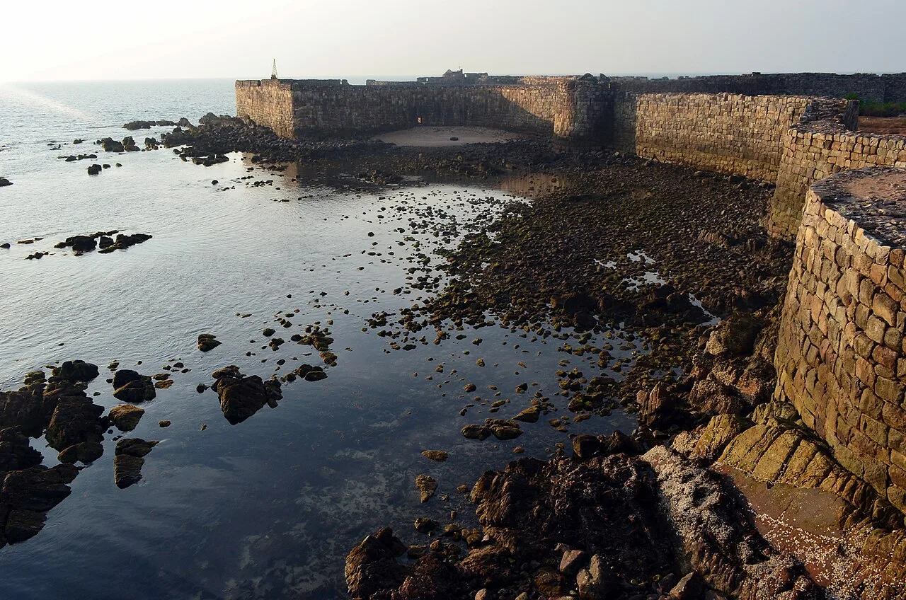
Off Maharashtra’s Konkan coast, Sindhudurg Fort is a historic maritime stronghold commissioned by Chhatrapati Shivaji. Visitors come for its history, and the Archaeological Survey of India protects it as a monument.

Tarkarli

80 km away · Sindhudurg district

Tarkarli

Tarkarli is a village in Malvan taluka, Sindhudurg district, Maharashtra, known as a beach destination in the state’s south. Tarkarli Beach holds the Queen Beach designation for the Konkan region.

Vijaydurg Fort

106 km away · Sindhudurg district

Vijaydurg Fort

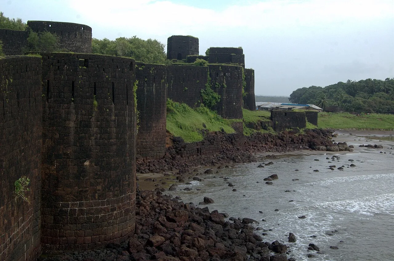
Vijaydurg Fort, in Maharashtra’s Sindhudurg district, is a coastal stronghold with a long history of Maratha use. Visitors come to explore its defences and strategic position beside the Waghotan/Kharepatan creek.

Map

Ajra on the map

  1. 1Amboli
  2. 2Rankala Lake
  3. 3Mahalakshmi Temple, Kolhapur
  4. 4Jyotiba Temple
  5. 5Panhala Fort
  6. 6Sindhudurg Fort
  7. 7Tarkarli
  8. 8Vijaydurg Fort

Maharashtra

Other cities to explore