
Ghumoopedia — Explore, Discover, Experience
Sign in
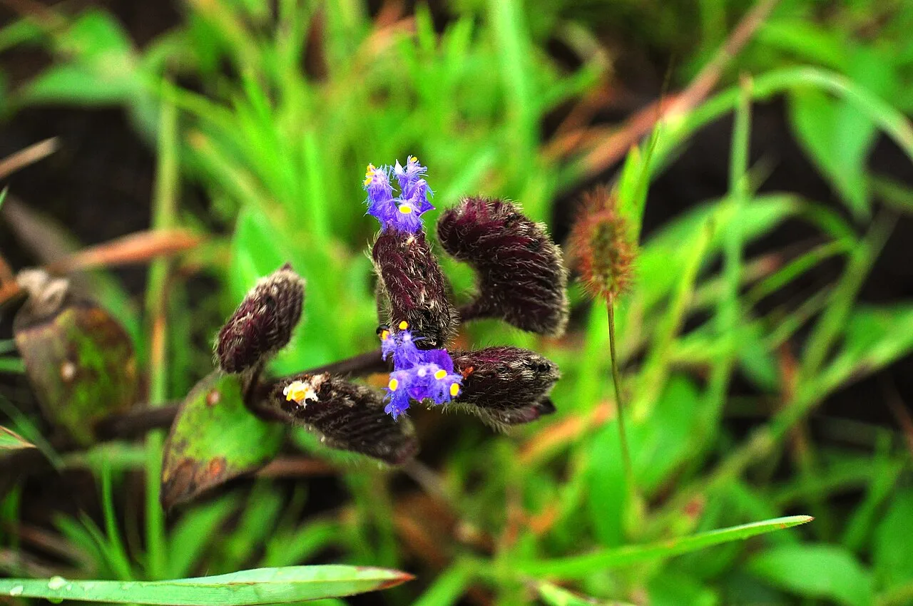
Kaas Plateau, near Satara

City guide · Maharashtra

Satara

Satara is the administrative headquarters of Satara district and an important service and trading centre in western Maharashtra. Set on the Deccan Plateau near the meeting of the Krishna and Venna rivers, it spreads along the slopes below Ajinkyatara Fort.

Famous for

  • Satara Kandi Pedha
  • Ajinkyatara Fort
  • Kaas Plateau flowers
  • Sajjangad pilgrimage
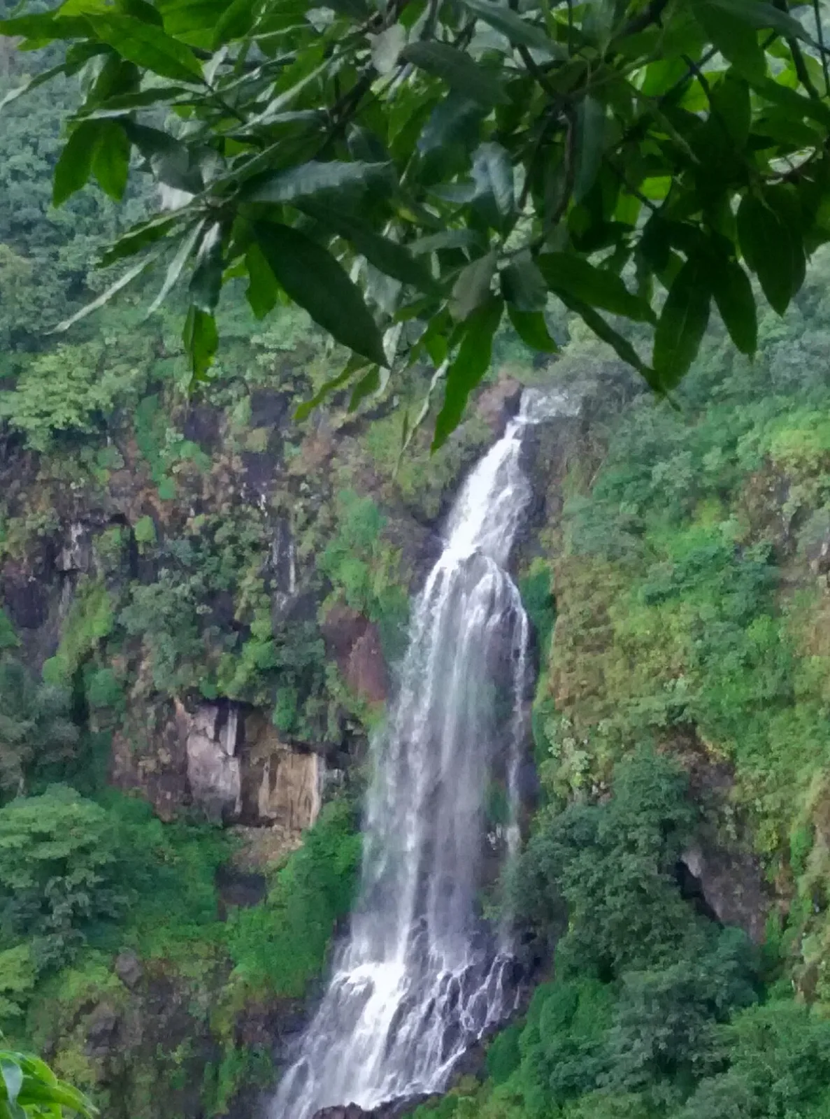
  • Thoseghar Waterfall
In the city
0
Nearby
2
District
Satara
Plan a trip

Why Satara matters

Satara is the administrative headquarters of Satara district and an important service and trading centre in western Maharashtra. Set on the Deccan Plateau near the meeting of the Krishna and Venna rivers, it spreads along the slopes below Ajinkyatara Fort. Its history as a Maratha capital gives the city a significance beyond its present-day role as a regional hub, while its forts, temples and historic neighbourhoods offer plenty to explore.

Many visitors use Satara as a base for the landscapes of the Western Ghats. The seasonal wildflowers of Kaas Plateau, the cascades at Thoseghar and the hilltop pilgrimage site of Sajjangad are popular excursions. Within the city, Ajinkyatara and the Yavateshwar temple combine heritage with views over the surrounding hills. Satara is also associated with its distinctive Kandi Pedha and with a strong military tradition; it is sometimes called both a soldiers’ city and a pensioners’ city. Together, its history, regional connections and nearby natural attractions make it a rewarding stop between Pune and southern Maharashtra.
Famous for: crafts, trade & products

Satara’s best-known food product is Kandi Pedha, a milk-based sweet with a distinctive grainy texture. It is commonly bought from sweet shops in the central market and around busy areas such as Rajwada and Powai Naka, and is often carried home as a gift. The city is better known for this local speciality than for a signature saree, textile tradition or widely recognised handicraft. Its shops and markets serve everyday needs, with clothing, household goods and regional produce available in the central commercial areas.

Satara is also a district-level centre for trade, public administration, education and healthcare. Industrial estates in and around the city support manufacturing and related businesses, including engineering and food-processing activity. Across the wider district, agriculture and food production contribute to the local economy; these products are traded through town markets rather than forming a single city-specific craft tradition. For visitors, the most straightforward way to experience Satara’s food culture is to look for Kandi Pedha at established local sweet shops, while the central bazaar offers a useful glimpse of daily commerce.

History

A fort built under the Shilahara ruler Raja Bhoj II in the late twelfth century formed an early centre for the settlement. The region later passed to the Yadavas and then the Bijapur Sultanate. Chhatrapati Shivaji Maharaj captured Satara Fort in 1673. After the Marathas regained control, Chhatrapati Rajaram made Satara their capital in 1698. Shahu I was crowned there in 1708 and developed the city as a centre of Maratha rule. As political authority shifted towards the Peshwas in Pune, Satara’s influence diminished, though it remained an important royal seat.

Under British rule, Satara became a princely state before being annexed in 1848 under the Doctrine of Lapse. The wider district was an important centre of resistance during the Quit India movement, including the formation of a local shadow government. After independence, Satara became part of Bombay State and then Maharashtra in 1960. Today it serves as the district and tehsil headquarters, with administrative, commercial and educational roles.

Food, festivals & culture

Marathi is the principal language of Satara; Hindi and English are also understood in many public and commercial settings. Everyday food reflects western Maharashtra’s cooking, with bhakri, pithla, zunka, leafy vegetables and spicy curries common on local menus. Misal pav is a popular snack, while Kandi Pedha is the city’s signature sweet. Restaurants and small eateries around the central market and main roads are convenient places to try regional dishes.

Ganeshotsav in late summer and early autumn brings public celebrations, devotional music and neighbourhood gatherings. Navratri and Dussehra are marked with worship and community events, while Diwali is celebrated with lamps, sweets and family visits. Shiv Jayanti, usually in February or March, honours Chhatrapati Shivaji Maharaj and is observed with processions and cultural programmes. Lavani, powada and other Marathi folk forms connect the area to the wider cultural traditions of Maharashtra. Places of worship include the old Yavateshwar temple in the city; Sajjangad, associated with the saint Samarth Ramdas, is a major nearby pilgrimage destination.

Visiting the city

October to February is generally comfortable for exploring Satara, while the monsoon and early post-monsoon months bring green hills, waterfalls and seasonal flowers around Kaas Plateau. Rain can affect outdoor plans, so allow flexibility. Pune International Airport is the nearest major airport; Satara Railway Station is the main station serving the city. National Highway 48 connects Satara with Pune and cities to the south.

Auto-rickshaws, local buses and taxis are useful for getting around; a taxi or organised excursion is convenient for sights outside the centre. Explore the historic core around Rajwada and Powai Naka, then head towards Ajinkyatara Fort and the Yavateshwar area. Kaas Plateau, Thoseghar and Sajjangad make popular day trips from the city. Check local conservation guidance before visiting Kaas, especially during the flower season.

Short trips

Around Satara

Within about 40 km — easy half-day or day trips from the city.

Map

Satara on the map

  1. 1Kaas Plateau
  2. 2Thoseghar Falls

Maharashtra

Other cities to explore