Ghumoopedia — Explore, Discover, Experience
Sign in
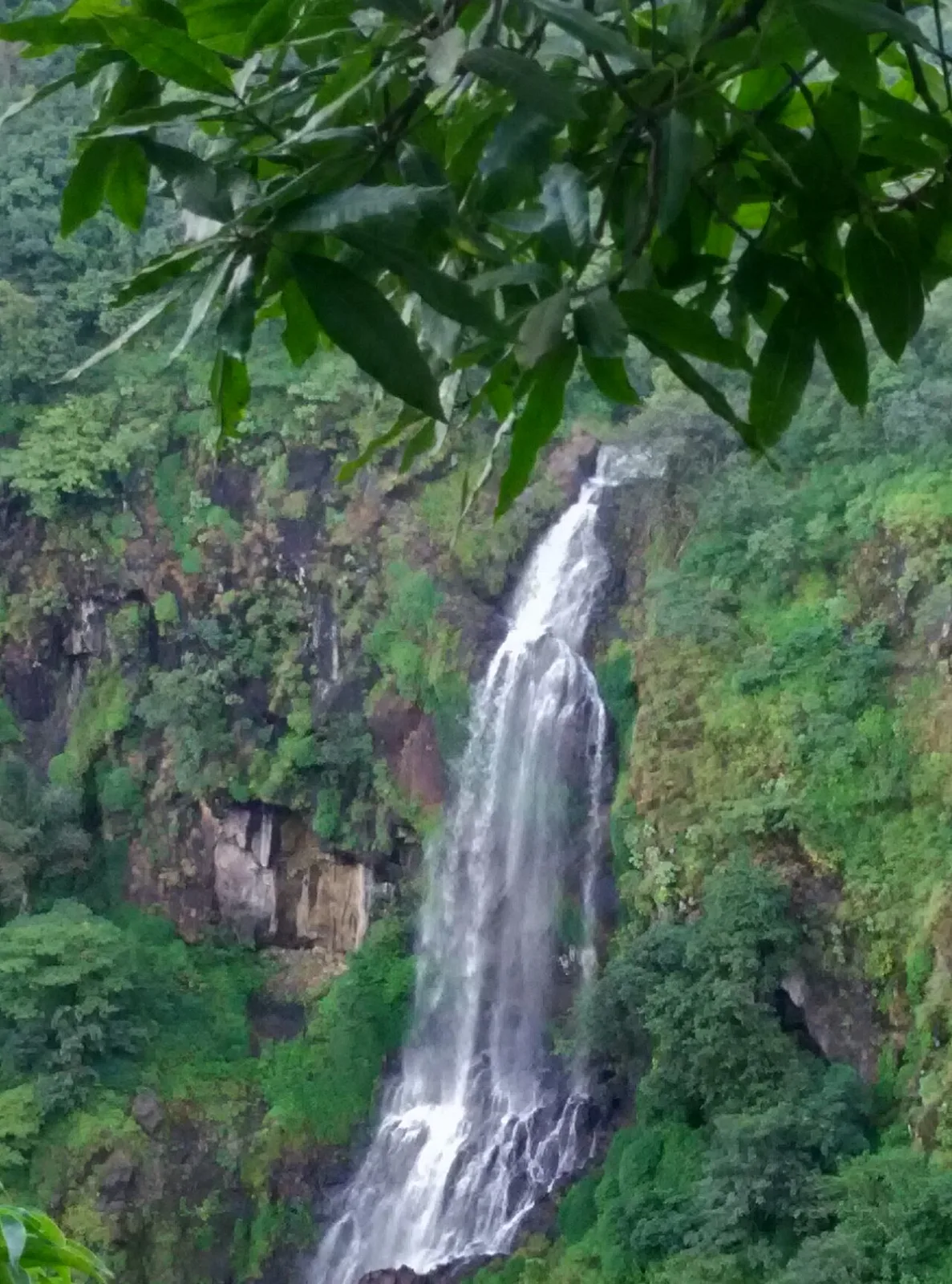
Thoseghar Falls, near Koregaon

City guide · Maharashtra

Koregaon

Koregaon is a small town in Satara district, best understood as an administrative and service centre for the surrounding taluka. Its location on the Satara–Baitul highway, NH-548C, connects it with Satara and other settlements in the region.

Famous for

  • Koregaon Taluka headquarters
  • Satara district service centre
  • NH-548C road corridor

Why Koregaon matters

Koregaon is a small town in Satara district, best understood as an administrative and service centre for the surrounding taluka. Its location on the Satara–Baitul highway, NH-548C, connects it with Satara and other settlements in the region. Government offices, local businesses and everyday services give the town a practical role in rural life, rather than the profile of a major sightseeing destination.

Visitors may use Koregaon as a stop while travelling through the Satara area or as a base for local errands and visits to nearby communities. Its appeal lies in seeing the rhythms of a working Maharashtra town: shops and services around the centre, Marathi heard in daily conversation, and a landscape shaped by the wider district. Travellers looking for prominent monuments, specialist crafts or a large tourist market should plan around Satara and other established destinations nearby; Koregaon is chiefly known for its taluka-centre function and road connections.
Famous for: crafts, trade & products

Koregaon is not widely identified with a signature textile, handicraft, GI-tagged product or large-scale specialist industry. Its local economy is more closely associated with the everyday needs of the town and surrounding settlements. The centre’s shops and service businesses are the most practical places to find routine goods, provisions and locally available products; visitors seeking a particular craft or regional speciality should ask locally or look in larger nearby markets, especially in Satara.

As a taluka headquarters, Koregaon’s institutional importance is more evident than a distinctive shopping identity. Its administrative offices serve residents from the surrounding area, while its position on NH-548C supports road links and local commerce. There is no widely documented signature market or dedicated craft quarter to seek out, so it is best approached as a convenient stop for essentials rather than a destination for specialty shopping. The town can offer a view of ordinary regional trade, but specific products and market days should be confirmed locally.

History

Koregaon’s development is closely tied to its role as the headquarters of the surrounding taluka. That administrative function has made it a centre for public services and commerce for nearby settlements. Its position on a regional road has also supported connections with Satara and other parts of the district, helping the town serve people travelling for routine work and trade.

The town lies within the wider Satara region, whose history includes Maratha rule and later British colonial administration. Those broad political changes shaped the district, but detailed accounts of their specific impact on Koregaon itself are not widely established. In modern times, Koregaon has continued to grow primarily as a local service centre rather than as a major industrial or heritage-tourism city. Its present character reflects this practical role: government and commercial activity, road access and close ties with the villages of the taluka.

Food, festivals & culture

Marathi is the principal language of daily life in Koregaon, with Hindi and English also understood by some residents. Food follows the familiar patterns of the Satara region and Maharashtra: meals may include bhakri, rice, lentils and vegetable preparations, while zunka-bhakar and pithla are common regional favourites. Puran poli and other sweets are often associated with festive meals, though menus vary between homes and eateries.

Ganeshotsav, usually celebrated in the monsoon season, and Diwali in autumn are among the major festivals observed locally. Gudi Padwa marks the Marathi New Year in spring, while Navratri brings devotional gatherings and seasonal celebrations. Temple worship and neighbourhood observances are part of community life, alongside family and public festivities. Folk and devotional music are familiar across the region; specific performance traditions and programmes vary by occasion. Koregaon is best approached as a town with everyday regional culture rather than as a centre for a single celebrated dance or music form.

Visiting the city

The cooler months from October to February are generally comfortable for travel. The monsoon brings greener surroundings but can also mean wet roads. Pune International Airport is the nearest major airport commonly used for access to the area. Satara Railway Station is a principal rail gateway for Koregaon; confirm the most convenient onward connection for your destination before travelling.

Road travel is practical, with NH-548C connecting Koregaon to Satara and nearby settlements. Local taxis, auto-rickshaws and buses may be available for getting around, though options can vary. Explore the town centre for its everyday shops and services, and use Koregaon as a starting point for visits around the taluka. Satara is the better choice for a broader range of visitor facilities and established attractions.

Trips from the city

Nearest places to visit from Koregaon

Our closest destination guides, by straight-line distance.

Thoseghar Falls

35 km away · Satara district

Thoseghar Falls

Thoseghar Falls is a series of cascades near Thoseghar village in Maharashtra’s Satara district. Visitors come to see the waterfalls, especially during the monsoon, when rainfall swells their flow.

Kaas Plateau

36 km away · Satara district

Kaas Plateau

Kaas Plateau is a high basalt tableland and reserve forest in Maharashtra’s Satara district. Its seasonal wildflowers, endemic butterflies and distinctive plants make it a destination for nature visits, especially in August and September.

Panchgani

46 km away · Satara district

Panchgani

Panchgani, also known as Paachgani, is a hill station in Maharashtra’s Satara district with municipal-council status. Visitors come throughout the year, and its many convent boarding schools are also well known.

49 km away · Satara district

Bhilar (Book Village)

Bhilar is a village in Maharashtra’s Satara district, known as the Book Village. Visitors may be drawn by its distinctive association with books.

Mahabaleshwar

59 km away · Satara district

Mahabaleshwar

Mahabaleshwar is a town and municipal council in Satara district, Maharashtra. People visit for its religious connection to the sacred Krishna River and five tributaries, as well as its history as a hill station.

Jejuri

64 km away · Pune district

Jejuri

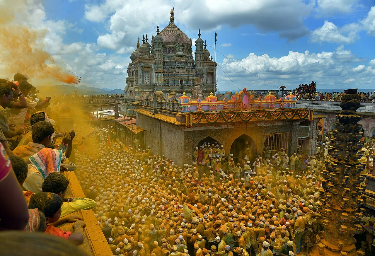
Jejuri, a city with a municipal council in Pune district, Maharashtra, is known for the Khandoba Mandir, an important Hindu pilgrimage site for communities across the state.

Pratapgad

67 km away · Satara district

Pratapgad

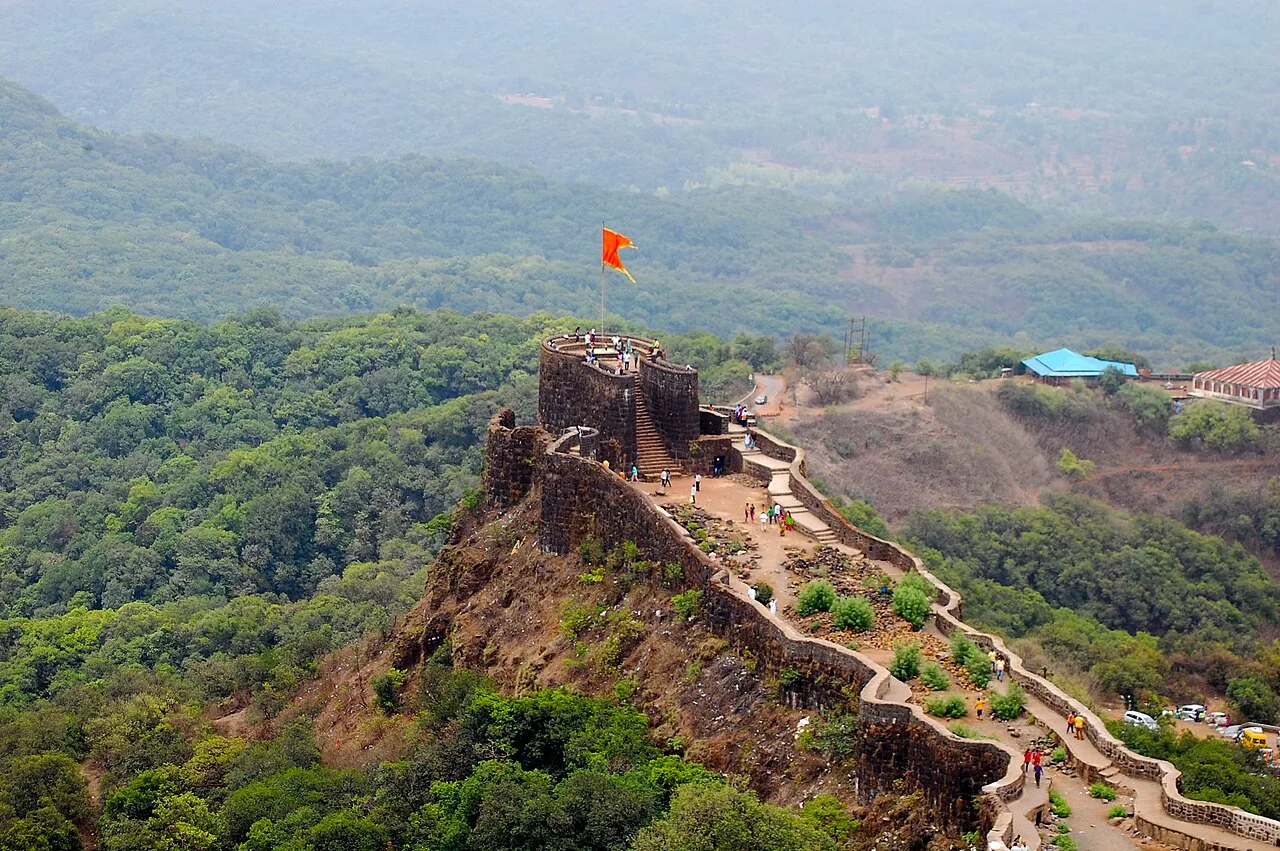
Pratapgad is a hilltop fort in Maharashtra’s Satara district, known for its part in the 1659 battle between Chatrapati Shivaji Maharaj and Afzal Khan and for its historic fortifications.

Sinhagad

86 km away · Pune district

Sinhagad

Sinhagad is an ancient hill fort near Pune, Maharashtra, valued for its history and as a destination for walks and weekend outings from the city.

Map

Koregaon on the map

  1. 1Thoseghar Falls
  2. 2Kaas Plateau
  3. 3Panchgani
  4. 4Bhilar (Book Village)
  5. 5Mahabaleshwar
  6. 6Jejuri
  7. 7Pratapgad
  8. 8Sinhagad

Maharashtra

Other cities to explore