Ghumoopedia — Explore, Discover, Experience
Sign in
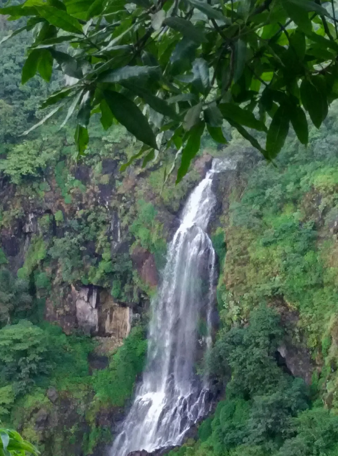
Thoseghar Falls, near Koynanagar

City guide · Maharashtra

Koynanagar

Koynanagar is a small town in Maharashtra’s Western Ghats, set beside the Koyna River and the reservoir formed by Koyna Dam. Its importance rests chiefly on the Koyna Hydroelectric Project, a major part of India’s power infrastructure and widely recognised as the country’s largest completed hydroelectric project.

Famous for

  • Koyna Dam
  • Koyna Hydroelectric Project
  • Koyna River
  • Western Ghats scenery
  • 1967 earthquake history

Why Koynanagar matters

Koynanagar is a small town in Maharashtra’s Western Ghats, set beside the Koyna River and the reservoir formed by Koyna Dam. Its importance rests chiefly on the Koyna Hydroelectric Project, a major part of India’s power infrastructure and widely recognised as the country’s largest completed hydroelectric project. The dam and its associated landscape give the town a distinctive place in the region’s engineering and environmental story.

Visitors come for the reservoir, forested hills and the dramatic scenery of the Koyna valley. The surrounding area also offers access to the Koyna Wildlife Sanctuary, subject to local conditions and access rules. At about 746 metres above sea level, Koynanagar generally has a milder climate than many lowland destinations, though monsoon weather can be wet. It is not a large resort town: its appeal is in the combination of water, mountain scenery and infrastructure, as well as its role as a quiet base for exploring this part of the Western Ghats.
Famous for: crafts, trade & products

Koynanagar is best known for power generation and engineering rather than for a signature textile, handicraft, GI-tagged product or specialist shopping district. The Koyna Hydroelectric Project is the town’s defining institution and industry, while the dam and reservoir shape both the local landscape and visitors’ experience. The project is an important part of Maharashtra’s electricity system and a landmark of modern infrastructure.

Shopping in town is mainly practical: small local shops and eateries serve residents and travellers with everyday provisions, snacks and basic travel needs. There is no widely recognised Koynanagar market for a particular craft or regional product, so visitors looking for a broader range of goods may need to shop in larger towns along their route. Local restaurants are the more likely place to sample familiar Maharashtrian meals than to find a formally established signature dish. The most distinctive things to see are the reservoir and dam viewpoints that are open to visitors; access around operational project facilities may be restricted, so follow posted instructions and local guidance.

History

Koynanagar’s modern growth is closely tied to the development of the Koyna Hydroelectric Project. In the decades after Indian independence, construction of the dam and power facilities brought workers, services and infrastructure to this Western Ghats valley. The settlement developed as a project town, with the river and surrounding hills central to its identity. Its history is therefore more closely associated with modern engineering than with a well-documented succession of royal courts or a major colonial-era urban centre.

The town is also remembered for the powerful earthquake that struck the Koyna region in 1967. The disaster caused severe damage in Koynanagar and the surrounding area and left about 180 people dead. The earthquake became an important part of the region’s story, drawing attention to seismic activity around the reservoir. Today, the dam, hydroelectric works and their continuing role in power generation remain the strongest markers of the town’s development and significance.

Food, festivals & culture

Marathi is the principal language of everyday life in Koynanagar; Hindi and some English are also useful in travel and service settings. Local food is rooted in Maharashtrian home cooking. Meals may include bhakri or rice with lentils, vegetables and spicy accompaniments, while simple snacks and tea are common at local eateries. The town is not especially known for a distinct sweet or a single celebrated dish, and menus can be modest compared with those in larger tourist centres.

Ganesh Chaturthi, usually celebrated in late summer or early autumn, is an important festival in Maharashtra, while Diwali in autumn, Gudi Padwa in spring and Holi near the end of winter are also observed. Community and household celebrations are more characteristic than large destination festivals. Marathi devotional songs and regional performance traditions form part of the wider cultural setting; lavani and powada are well-known Maharashtra forms, though they are not unique to Koynanagar. Small local temples and shrines serve as places of worship and community gathering.

Visiting the city

The cooler months, roughly from October to February, are generally comfortable for visiting. The monsoon, usually from June into September, brings lush scenery but also heavy rain and potentially slower road travel. Kolhapur Airport is a nearby air gateway; Pune Airport offers broader connections. Chiplun railway station on the Konkan Railway is a useful rail access point, with onward travel by road.

Koynanagar lies on the Chiplun–Sangli state highway. Local taxis, buses and private vehicles are the practical ways to reach the dam area and nearby sights; the compact town centre can be explored on foot. Spend time around the town and accessible reservoir viewpoints, and consider the surrounding Koyna valley and wildlife sanctuary where entry is permitted. Check local access conditions before approaching project facilities.

Trips from the city

Nearest places to visit from Koynanagar

Our closest destination guides, by straight-line distance.

Thoseghar Falls

23 km away · Satara district

Thoseghar Falls

Thoseghar Falls is a series of cascades near Thoseghar village in Maharashtra’s Satara district. Visitors come to see the waterfalls, especially during the monsoon, when rainfall swells their flow.

Kaas Plateau

36 km away · Satara district

Kaas Plateau

Kaas Plateau is a high basalt tableland and reserve forest in Maharashtra’s Satara district. Its seasonal wildflowers, endemic butterflies and distinctive plants make it a destination for nature visits, especially in August and September.

57 km away · Satara district

Bhilar (Book Village)

Bhilar is a village in Maharashtra’s Satara district, known as the Book Village. Visitors may be drawn by its distinctive association with books.

Panchgani

58 km away · Satara district

Panchgani

Panchgani, also known as Paachgani, is a hill station in Maharashtra’s Satara district with municipal-council status. Visitors come throughout the year, and its many convent boarding schools are also well known.

Ganpatipule

60 km away · Ratnagiri district

Ganpatipule

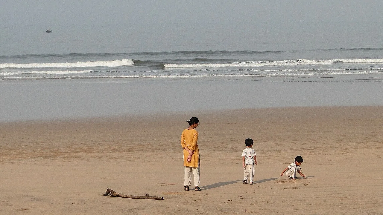
A coastal town in Maharashtra’s Ratnagiri district, Ganpatipule attracts Hindu pilgrims and tourists to its Ganpati mandir. It is near Ratnagiri city and north of Chiplun.

Mahabaleshwar

60 km away · Satara district

Mahabaleshwar

Mahabaleshwar is a town and municipal council in Satara district, Maharashtra. People visit for its religious connection to the sacred Krishna River and five tributaries, as well as its history as a hill station.

Guhagar

61 km away · Ratnagiri district

Guhagar

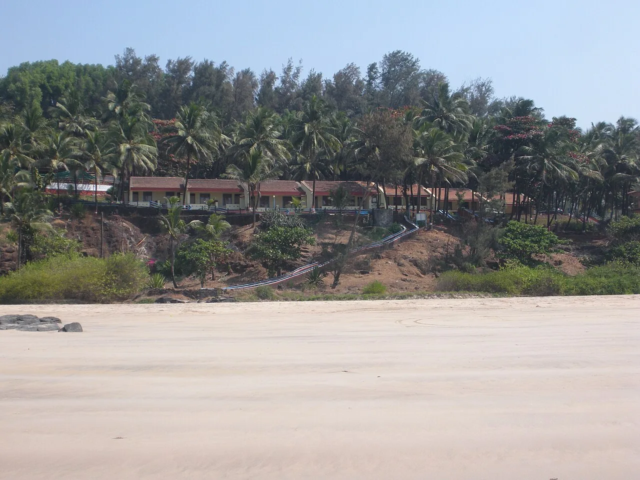
Guhagar is a census town in Maharashtra’s Ratnagiri district. Visitors come for its beach and temples, while local produce and crafts include Alphonso mangoes, coconuts, betel nuts and coir goods.

Pratapgad

63 km away · Satara district

Pratapgad

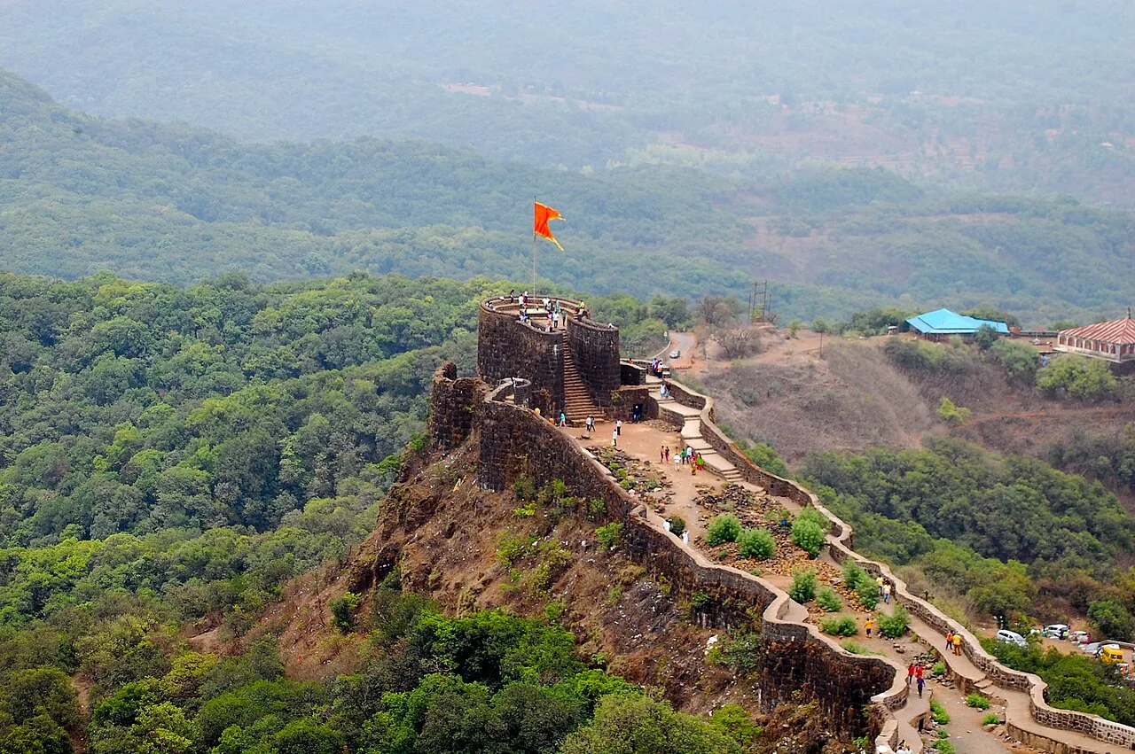
Pratapgad is a hilltop fort in Maharashtra’s Satara district, known for its part in the 1659 battle between Chatrapati Shivaji Maharaj and Afzal Khan and for its historic fortifications.

Map

Koynanagar on the map

  1. 1Thoseghar Falls
  2. 2Kaas Plateau
  3. 3Bhilar (Book Village)
  4. 4Panchgani
  5. 5Ganpatipule
  6. 6Mahabaleshwar
  7. 7Guhagar
  8. 8Pratapgad

Maharashtra

Other cities to explore