Ghumoopedia — Explore, Discover, Experience
Sign in
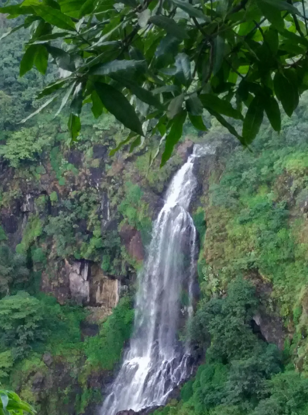
Thoseghar Falls, near Patan

City guide · Maharashtra

Patan

Patan is a small town in Satara district, set in the western part of Maharashtra’s Sahyadri region. At an elevation of about 582 metres, it serves as an administrative and trading centre for nearby villages.

Famous for

  • Koyna region gateway
  • Koyna hydroelectric project
  • Sahyadri landscapes
  • Rural Satara markets

Why Patan matters

Patan is a small town in Satara district, set in the western part of Maharashtra’s Sahyadri region. At an elevation of about 582 metres, it serves as an administrative and trading centre for nearby villages. Its importance is practical as well as geographical: residents use the town for local services, shops and connections to the surrounding countryside, while visitors pass through on journeys into the Koyna region.

The wider area draws travellers for the Koyna Dam and reservoir, forested hills and the landscapes of the Western Ghats. Patan is a useful base for exploring these attractions, though many are outside the town itself and are best reached by road. The town is not a major monument or resort destination, and its appeal is more subdued: a working rural centre framed by green hills and agricultural land. Visitors interested in the region’s scenery, local life and hydroelectric development will find Patan a convenient point of orientation.
Famous for: crafts, trade & products

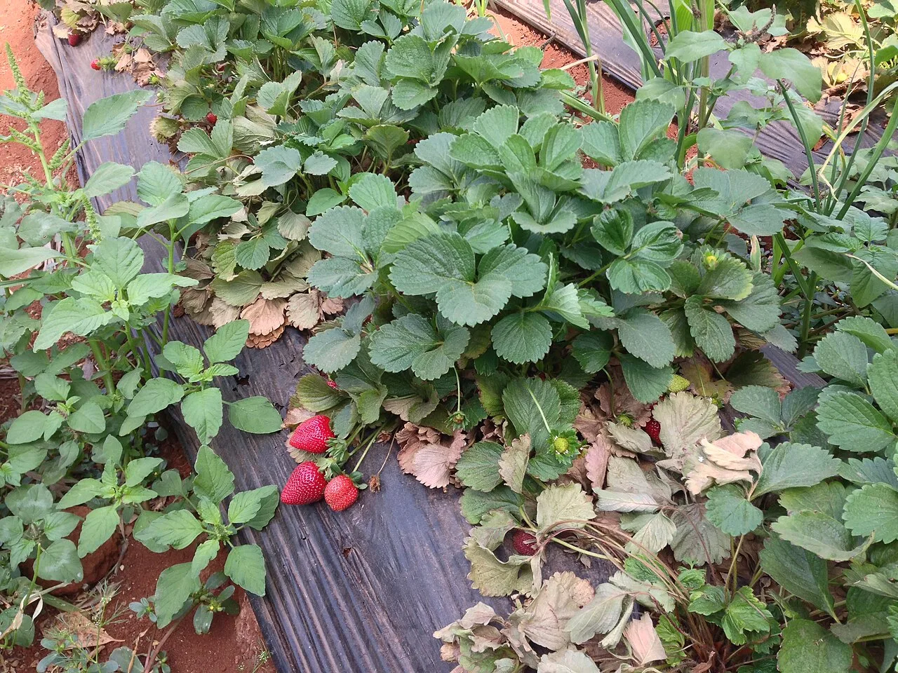
Patan is best understood as a local service and market town rather than a specialist centre for textiles or handicrafts. Its shops cater mainly to residents and nearby villages, with everyday goods and seasonal farm produce. The town does not have a widely recognised signature saree, craft or GI-tagged product, so visitors looking for those should not assume that Patan is a dedicated shopping destination. Local markets are most useful for experiencing ordinary commerce and picking up provisions for travel in the surrounding area.

The larger Patan region is closely associated with the Koyna hydroelectric project, a major source of power for Maharashtra. The dam and related infrastructure are around Koynanagar and the broader Koyna area, rather than being a shopping attraction in Patan town. For travellers, local shops and eateries around the town centre are the most straightforward places to buy everyday items and sample regional food. More specialised shopping is generally better sought in larger centres such as Karad or Satara.

History

Patan’s story is best read in the context of the western Satara countryside, rather than through a well-documented account of a single founding event. The surrounding Deccan region saw successive political changes, including Maratha rule and the expansion of British authority. Satara became an important centre in this history, while settlements across its rural hinterland served local communities and agricultural trade.

During the colonial period, the area formed part of the changing administrative landscape of the Satara region. After independence and the formation of Maharashtra in 1960, Patan continued as a local administrative centre. Its modern role has been shaped by services for surrounding villages, road links and development across the Koyna region. The construction and operation of the Koyna hydroelectric project brought major infrastructure and national significance to the wider area, although the project is centred outside the town. Patan today remains a small, functional town rather than a place defined by a single historic monument.

Food, festivals & culture

Daily life in Patan reflects rural western Maharashtra. Marathi is the main language of conversation and public life; Hindi is also understood by many people. Meals commonly draw on the wider regional repertoire, including bhakri, vegetables, lentils and rice. Pithla-bhakri and other simple Maharashtrian dishes may be found at local eateries, but Patan is not especially known for a signature sweet or food product. Visitors can ask locally about seasonal dishes and produce from nearby villages.

Ganeshotsav, usually held in August or September, is a major public festival across Maharashtra, while Diwali in October or November brings family gatherings and decorated homes. Makar Sankranti in January and Holi in late winter or early spring are also observed. Local temples and shrines serve residents and surrounding villages; the town’s religious life is primarily community-based rather than organised around a major pilgrimage site. Bhajans, kirtans and dhol-tasha rhythms are familiar parts of regional devotional and festival culture, with performances varying by occasion.

Visiting the city

October to February is generally the most comfortable season for a visit, with cooler, drier conditions for road travel. The monsoon, roughly June to September, brings vivid greenery to the Sahyadri hills but can also mean heavy rain and slower journeys. Kolhapur Airport is the nearer airport in many routes, while Pune Airport usually provides a broader choice of connections. Karad is the main nearby railway station; onward travel to Patan is by road.

Within town, walking and local auto-rickshaws can cover short trips; buses and taxis are useful for reaching nearby settlements and attractions. Explore the central market area for everyday town life, then use Patan as a starting point for Koynanagar, the Koyna Dam area and the surrounding forested landscape. Check local conditions before setting out for remote roads or nature areas.

Trips from the city

Nearest places to visit from Patan

Our closest destination guides, by straight-line distance.

Thoseghar Falls

25 km away · Satara district

Thoseghar Falls

Thoseghar Falls is a series of cascades near Thoseghar village in Maharashtra’s Satara district. Visitors come to see the waterfalls, especially during the monsoon, when rainfall swells their flow.

Kaas Plateau

39 km away · Satara district

Kaas Plateau

Kaas Plateau is a high basalt tableland and reserve forest in Maharashtra’s Satara district. Its seasonal wildflowers, endemic butterflies and distinctive plants make it a destination for nature visits, especially in August and September.

62 km away · Satara district

Bhilar (Book Village)

Bhilar is a village in Maharashtra’s Satara district, known as the Book Village. Visitors may be drawn by its distinctive association with books.

Panchgani

62 km away · Satara district

Panchgani

Panchgani, also known as Paachgani, is a hill station in Maharashtra’s Satara district with municipal-council status. Visitors come throughout the year, and its many convent boarding schools are also well known.

Mahabaleshwar

66 km away · Satara district

Mahabaleshwar

Mahabaleshwar is a town and municipal council in Satara district, Maharashtra. People visit for its religious connection to the sacred Krishna River and five tributaries, as well as its history as a hill station.

Panhala Fort

67 km away · Kolhapur district

Panhala Fort

Panhala Fort is a hilltop stronghold in Kolhapur district, Maharashtra, overlooking a Western Ghats pass. Visitors come to see its surviving structures and explore its connections with Deccan conflicts and Tarabai.

Jyotiba Temple

71 km away · Kolhapur district

Jyotiba Temple

Near Wadi Ratnagiri in Maharashtra’s Kolhapur district, Jyotiba Temple is a Hindu place of worship. People visit the shrine and its annual fair, held at full moon in Chaitra and Vaishakha.

Pratapgad

71 km away · Satara district

Pratapgad

Pratapgad is a hilltop fort in Maharashtra’s Satara district, known for its part in the 1659 battle between Chatrapati Shivaji Maharaj and Afzal Khan and for its historic fortifications.

Map

Patan on the map

  1. 1Thoseghar Falls
  2. 2Kaas Plateau
  3. 3Bhilar (Book Village)
  4. 4Panchgani
  5. 5Mahabaleshwar
  6. 6Panhala Fort
  7. 7Jyotiba Temple
  8. 8Pratapgad

Maharashtra

Other cities to explore