Ghumoopedia — Explore, Discover, Experience
Sign in
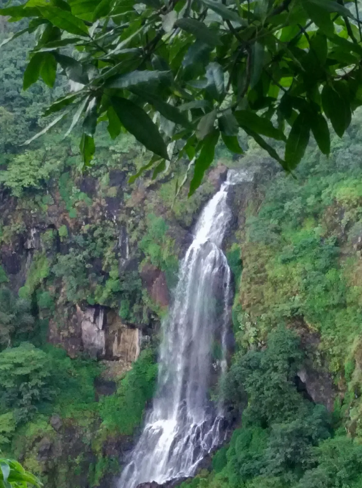
Thoseghar Falls, near Rahimatpur

City guide · Maharashtra

Rahimatpur

Rahimatpur is a small city and municipal council in Satara district, in western Maharashtra. Set at about 657 metres above sea level, it lies within the elevated Deccan landscape and serves as a local centre for nearby villages.

Famous for

  • Satara district setting
  • Deccan plateau landscape
  • Local railway connection
  • Regional town markets

Why Rahimatpur matters

Rahimatpur is a small city and municipal council in Satara district, in western Maharashtra. Set at about 657 metres above sea level, it lies within the elevated Deccan landscape and serves as a local centre for nearby villages. Its importance is chiefly regional: residents come into town for everyday services, shopping and transport, while the surrounding countryside gives it a quieter, locally rooted character.

Rahimatpur is not widely known as a major sightseeing or shopping destination, and it has no nationally prominent craft or product associated with it. Visitors are more likely to value its everyday town life, its rail connection and its position within the wider Satara region. It can be included in a journey through the district, especially for travellers interested in smaller Maharashtrian towns beyond the best-known hill and pilgrimage destinations. The municipal centre and local market offer a glimpse of ordinary life in this part of the Deccan, while Satara city and the district’s better-known attractions are reachable for broader excursions.
Famous for: crafts, trade & products

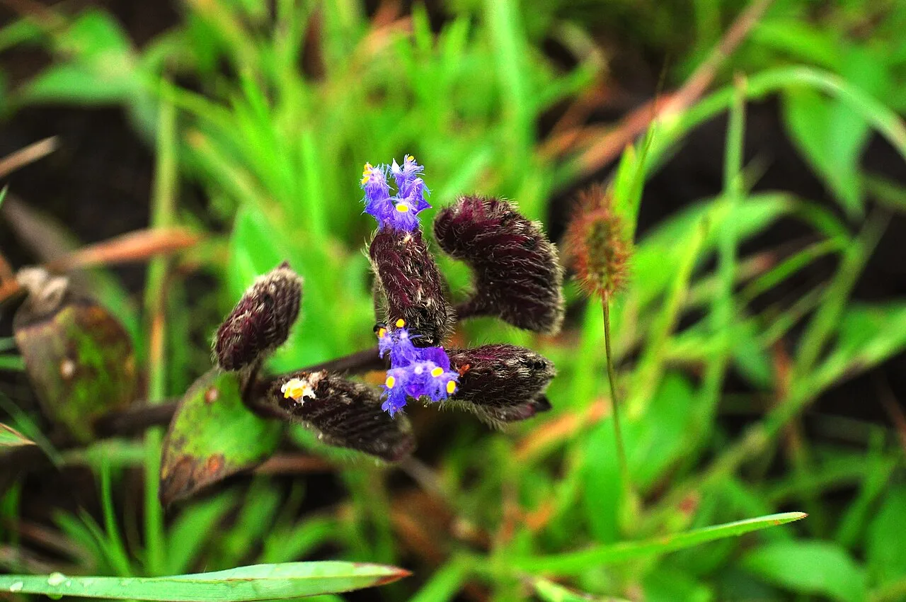
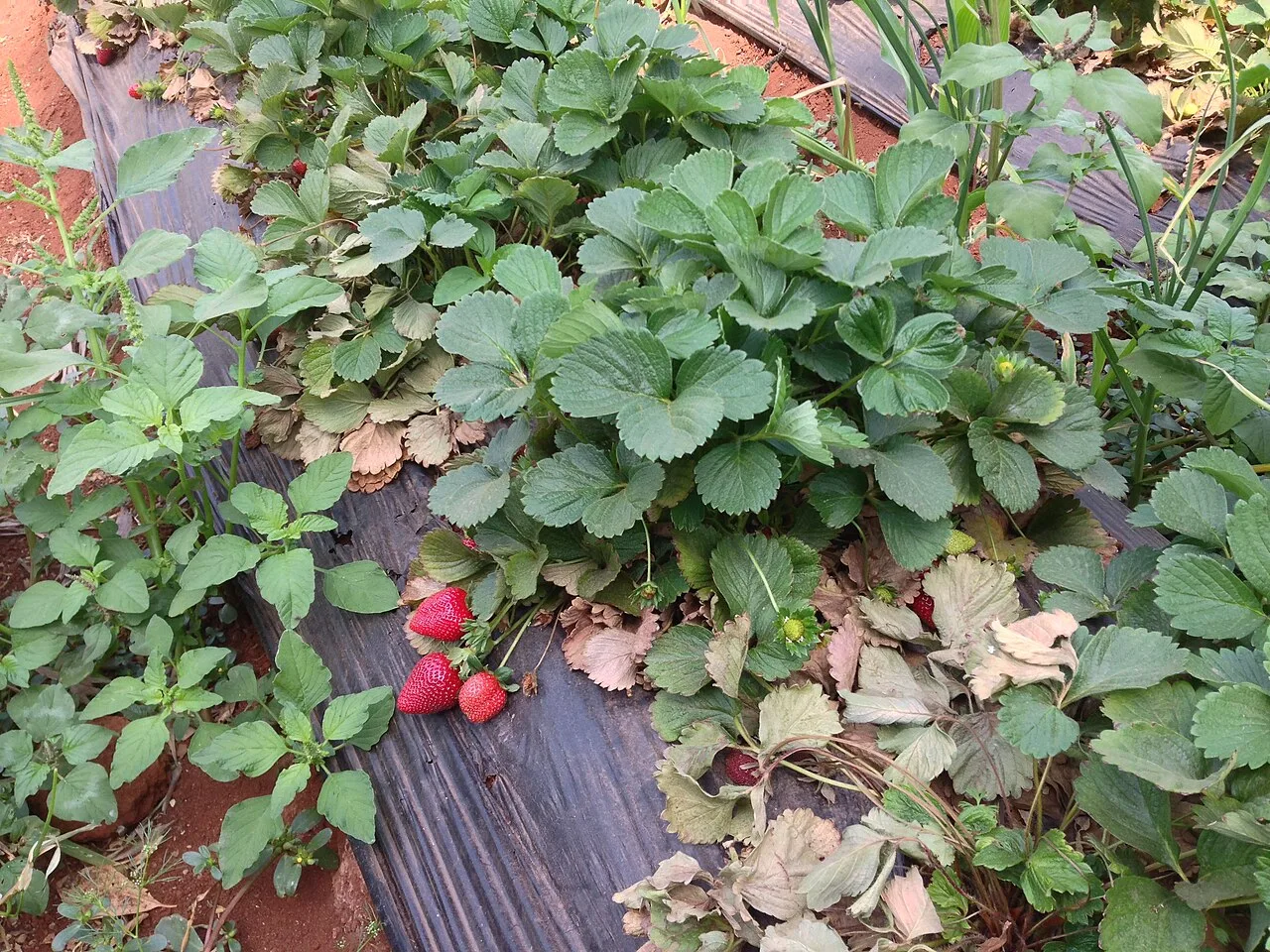
Its role is more that of a local service and trading centre for the surrounding settlements. Shops and market streets in the town cater mainly to daily needs; the range of goods may include household supplies, clothing and produce brought in from the rural hinterland. Availability varies, and the town should not be treated as a specialist destination for a particular craft or food product.

For visitors, the most straightforward place to browse is the central market area and the shops near the town’s main streets and transport points. These are useful for seeing local commerce and picking up everyday provisions, rather than for finding a curated handicraft market. Satara district has better-known regional foods and products, but these should not automatically be attributed to Rahimatpur itself. Travellers seeking a wider choice of branded goods, specialist shopping or established craft outlets will generally find more options in larger nearby centres such as Satara.

History

Rahimatpur’s development is best understood in the context of the Satara region, a historically important part of the Deccan. The area came under Maratha power and was connected to the political history of the Satara state. Following the expansion of British rule, Satara became part of the colonial administrative landscape; the former princely state was annexed by the British in 1848. These shifts shaped the district around Rahimatpur, though the town itself is not widely recorded as a major seat of power.

Over time, Rahimatpur grew as a small settlement serving nearby rural communities, with local trade and public services supporting its role as a town. Railway access strengthened its connection with other settlements in the region. After Indian independence, it continued as a local municipal centre within Satara district. Since Maharashtra was formed in 1960, Rahimatpur has developed within the state’s district-level network of smaller towns, balancing local needs with links to larger centres such as Satara.

Food, festivals & culture

Marathi is the principal language of daily life, with Hindi and other languages also understood by some residents. Food is typical of western Maharashtra: meals may include bhakri, pithla or zunka, lentils, rice and seasonal vegetables. Tea and simple snacks are common in local eateries. Rahimatpur is not especially known for a signature sweet or restaurant dish, so visitors looking for the region’s best-known specialties may find a broader selection in larger towns nearby.

Ganeshotsav, usually celebrated in the monsoon season, and Navratri in autumn are important occasions across the region. Diwali, Gudi Padwa in spring and Holi are also widely observed; Muslim residents celebrate Eid. Local worship includes Hindu temples and Muslim places of prayer, though individual sites are primarily part of community life rather than established tourist attractions. Folk forms such as lavani and powada belong to Maharashtra’s wider cultural tradition and may be heard at regional events, alongside devotional music and contemporary popular music.

Visiting the city

The cooler, drier months from October to February are generally the most comfortable for exploring Rahimatpur. The monsoon, usually from June into September, brings greener surroundings but can make road travel less convenient. Pune Airport is the nearest major airport for most visitors arriving by air. Rahimatpur Railway Station serves the town; Satara Railway Station is another option for connections in the district.

Auto-rickshaws and local road transport are practical for short journeys, while taxis or a hired vehicle offer more flexibility for visiting nearby places. Begin with the central town and its market streets to get a feel for local life, then explore the surrounding countryside if transport permits. Rahimatpur is best approached as a quiet regional stop rather than a destination with a concentrated tourist quarter; Satara makes a useful base for a wider district itinerary.

Trips from the city

Nearest places to visit from Rahimatpur

Our closest destination guides, by straight-line distance.

Thoseghar Falls

38 km away · Satara district

Thoseghar Falls

Thoseghar Falls is a series of cascades near Thoseghar village in Maharashtra’s Satara district. Visitors come to see the waterfalls, especially during the monsoon, when rainfall swells their flow.

Kaas Plateau

42 km away · Satara district

Kaas Plateau

Kaas Plateau is a high basalt tableland and reserve forest in Maharashtra’s Satara district. Its seasonal wildflowers, endemic butterflies and distinctive plants make it a destination for nature visits, especially in August and September.

Panchgani

56 km away · Satara district

Panchgani

Panchgani, also known as Paachgani, is a hill station in Maharashtra’s Satara district with municipal-council status. Visitors come throughout the year, and its many convent boarding schools are also well known.

58 km away · Satara district

Bhilar (Book Village)

Bhilar is a village in Maharashtra’s Satara district, known as the Book Village. Visitors may be drawn by its distinctive association with books.

Mahabaleshwar

68 km away · Satara district

Mahabaleshwar

Mahabaleshwar is a town and municipal council in Satara district, Maharashtra. People visit for its religious connection to the sacred Krishna River and five tributaries, as well as its history as a hill station.

Jejuri

76 km away · Pune district

Jejuri

Jejuri, a city with a municipal council in Pune district, Maharashtra, is known for the Khandoba Mandir, an important Hindu pilgrimage site for communities across the state.

Pratapgad

76 km away · Satara district

Pratapgad

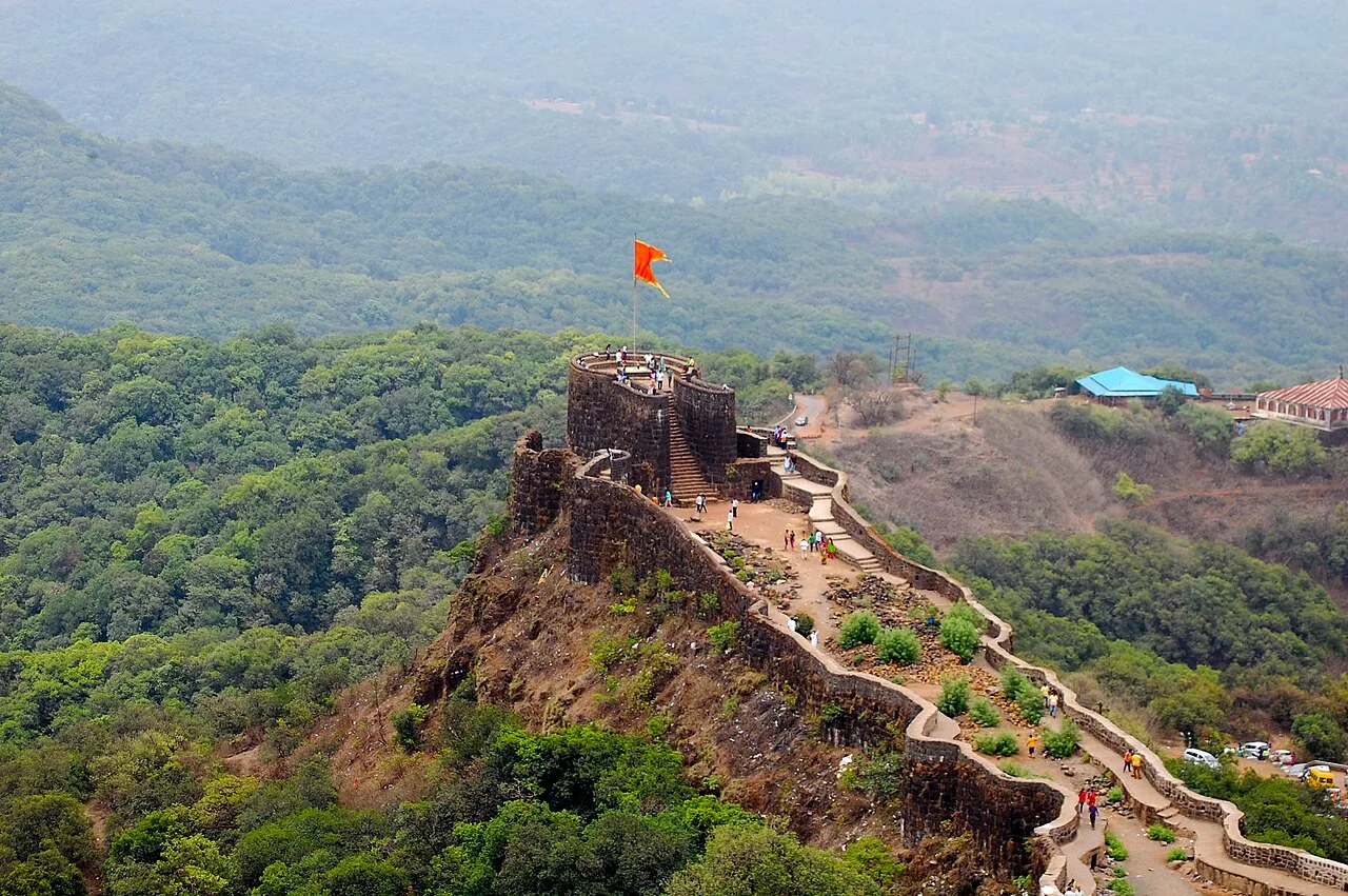
Pratapgad is a hilltop fort in Maharashtra’s Satara district, known for its part in the 1659 battle between Chatrapati Shivaji Maharaj and Afzal Khan and for its historic fortifications.

Panhala Fort

88 km away · Kolhapur district

Panhala Fort

Panhala Fort is a hilltop stronghold in Kolhapur district, Maharashtra, overlooking a Western Ghats pass. Visitors come to see its surviving structures and explore its connections with Deccan conflicts and Tarabai.

Map

Rahimatpur on the map

  1. 1Thoseghar Falls
  2. 2Kaas Plateau
  3. 3Panchgani
  4. 4Bhilar (Book Village)
  5. 5Mahabaleshwar
  6. 6Jejuri
  7. 7Pratapgad
  8. 8Panhala Fort

Maharashtra

Other cities to explore