Ghumoopedia — Explore, Discover, Experience
Sign in
Vithoba Temple, near Sangole

City guide · Maharashtra

Sangole

Sangole, also known as Sangola, is a municipal town in Solapur district and an important agricultural and transport centre in the Mandesh region of Maharashtra. Its position where state highways SH-161, SH-3 and SH-71 meet links it with nearby towns and farming communities.

Famous for

  • Sangola pomegranates
  • Jowar cultivation
  • Mandesh heritage
  • Maan River
  • Sangola agreement

Why Sangole matters

Sangole, also known as Sangola, is a municipal town in Solapur district and an important agricultural and transport centre in the Mandesh region of Maharashtra. Its position where state highways SH-161, SH-3 and SH-71 meet links it with nearby towns and farming communities. Pandharpur, a major pilgrimage destination, is also nearby, making Sangole a useful stop for travellers exploring this part of the Deccan.

The town’s identity is closely tied to its dryland farming. Pomegranates are a prominent crop, while jowar remains important to local agriculture and food. The Maan River is reflected in the region’s history and in the town’s name. Visitors are more likely to encounter Sangole through its produce markets, road connections and everyday Mandesh life than through a large tourist circuit. Its appeal lies in this working-town character: a place to see the agricultural economy of the region and use as a base for journeys around Solapur district.
Famous for: crafts, trade & products

Sangole is best known commercially for agriculture, especially pomegranates and jowar. Pomegranate farms around the town supply produce to local traders and wider markets; seasonal fruit is most readily found through the town’s produce sellers and agricultural trading areas. Jowar is sold as grain and flour and is also a staple ingredient in regional cooking. Market availability changes with harvests and the season.

The town is not chiefly known for a signature textile, handicraft or GI-tagged product. Its commercial character is more closely associated with farming, produce handling and services for surrounding villages. Visitors can look around the central market and ask local vendors about seasonal produce and regional grains. Shops in town are the practical place to find everyday food products, while agricultural markets are oriented mainly toward growers and traders. Sangole’s highway connections reinforce its role as a local exchange point, rather than making it a specialised shopping destination.

History

Sangole belongs to the historic Mandesh region, a dryland area whose settlement and livelihoods have long been shaped by farming, water availability and routes across the Deccan. The town is associated with the Sangola agreement of 1750, an episode in Maratha politics that strengthened the authority of the Peshwa in relation to Chhatrapati Rajaram II. Its name is traditionally linked to the Maan River.

During the colonial period, the wider Solapur region came under British administration as part of the Bombay Presidency. Agriculture and local trade continued to underpin settlement life, while administrative boundaries and transport links changed over time. After Independence, Sangole developed as a municipal town serving nearby villages and farms. Its position at the meeting of three state highways has supported its role as a regional service and trading centre. Today, pomegranate cultivation, jowar farming and connections to other towns remain central to its economy and character.

Food, festivals & culture

Everyday food in Sangole reflects the farming traditions of Mandesh and western Maharashtra. Jowar bhakri is a familiar staple, often served with pithla, vegetables, chutneys or thecha. Seasonal produce shapes home cooking, while sweets such as puran poli and ladoo are commonly associated with festive meals. Marathi is the principal language of daily life; visitors may also hear Hindi and other languages used across the region.

Ganesh Chaturthi, usually in August or September, Diwali in October or November, and Holi in late winter or early spring are important parts of the annual calendar. Ashadhi Ekadashi, generally in June or July, has particular resonance in the wider region because of Pandharpur’s pilgrimage tradition. Bhajans and kirtans are heard at devotional gatherings, alongside folk performance traditions of western Maharashtra. Local temples and neighbourhood shrines serve as centres for worship and community events; visitors should check locally for current festival programmes.

Visiting the city

October to February is generally the most comfortable period to visit, with cooler weather than the hot summer months. The monsoon brings seasonal rain, so road conditions and travel plans can vary. Solapur Airport is the nearest named airport; Pune International Airport is another option with broader connections. Check current flight services before setting out. Sangola railway station serves the town, and buses connect it with nearby centres.

Auto-rickshaws and local buses are useful for getting around town; taxis or private vehicles are more convenient for visiting the surrounding countryside. Explore the central market for everyday town life and local produce, and the areas around the railway station and bus stand for transport connections. The Maan River surroundings offer a sense of the landscape, though facilities may be limited. Pandharpur can be added as a nearby pilgrimage stop.

Trips from the city

Nearest places to visit from Sangole

Our closest destination guides, by straight-line distance.

Vithoba Temple

29 km away · Solapur district

Vithoba Temple

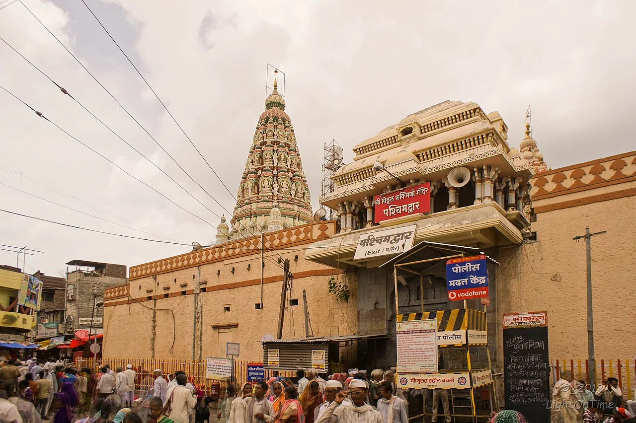
The Vithoba Temple, also called Shri Vitthal-Rukmini Mandir, is a Hindu shrine in Pandharpur, Maharashtra. Devotees visit to worship Vithoba and Rakhumai and join major Warkari pilgrimages.

Tulja Bhavani Temple

117 km away · Dharashiv district

Tulja Bhavani Temple

Tulja Bhavani Temple is a 12th-century shrine to goddess Bhavani in Tuljapur, Maharashtra. It is counted among India’s 51 Shakti Pithas and the state’s four major Shakti shrines.

Jyotiba Temple

130 km away · Kolhapur district

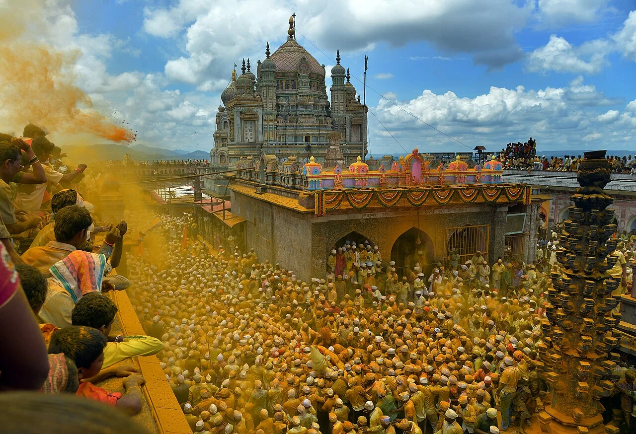
Jyotiba Temple

Near Wadi Ratnagiri in Maharashtra’s Kolhapur district, Jyotiba Temple is a Hindu place of worship. People visit the shrine and its annual fair, held at full moon in Chaitra and Vaishakha.

Mahalakshmi Temple, Kolhapur

131 km away · Kolhapur district

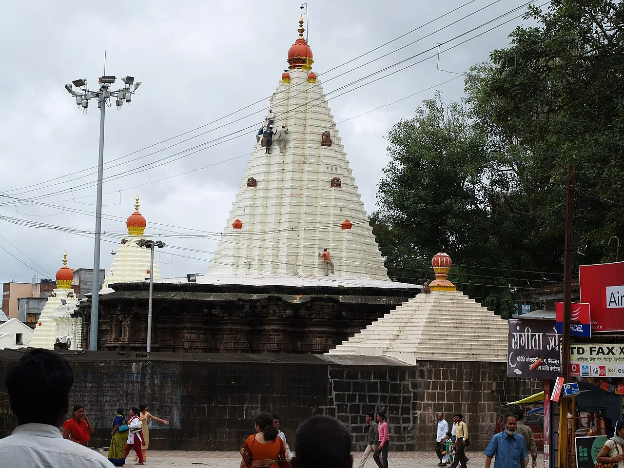
Mahalakshmi Temple, Kolhapur

The Mahalakshmi Temple, also called Ambabai Mandir, is a shrine in Kolhapur district, Maharashtra, dedicated to Goddess Mahalakshmi and visited as part of Hindu pilgrimage.

Rankala Lake

134 km away · Kolhapur district

Rankala Lake

Rankala Lake is a freshwater lake in Kolhapur, Maharashtra. Visitors can come to see a lake within the city and spend time beside its waters.

Panhala Fort

135 km away · Kolhapur district

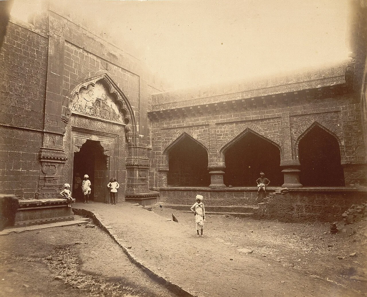
Panhala Fort

Panhala Fort is a hilltop stronghold in Kolhapur district, Maharashtra, overlooking a Western Ghats pass. Visitors come to see its surviving structures and explore its connections with Deccan conflicts and Tarabai.

Jejuri

143 km away · Pune district

Jejuri

Jejuri, a city with a municipal council in Pune district, Maharashtra, is known for the Khandoba Mandir, an important Hindu pilgrimage site for communities across the state.

Thoseghar Falls

144 km away · Satara district

Thoseghar Falls

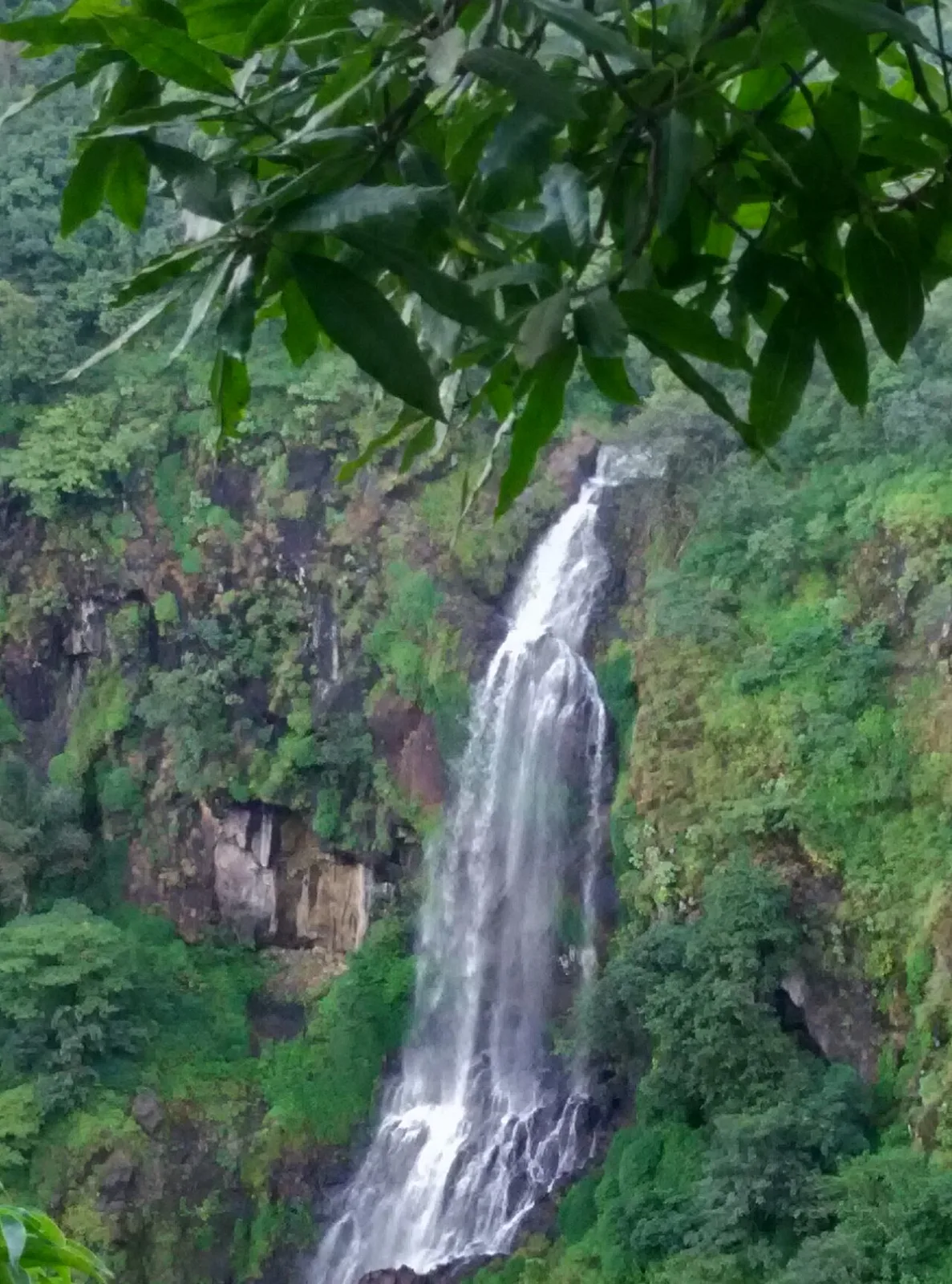
Thoseghar Falls is a series of cascades near Thoseghar village in Maharashtra’s Satara district. Visitors come to see the waterfalls, especially during the monsoon, when rainfall swells their flow.

Map

Sangole on the map

  1. 1Vithoba Temple
  2. 2Tulja Bhavani Temple
  3. 3Jyotiba Temple
  4. 4Mahalakshmi Temple, Kolhapur
  5. 5Rankala Lake
  6. 6Panhala Fort
  7. 7Jejuri
  8. 8Thoseghar Falls

Maharashtra

Other cities to explore