Ghumoopedia — Explore, Discover, Experience
Sign in

City guide · Maharashtra

Vita

Vita, also called Vite, is a town in Sangli district in western Maharashtra and the administrative headquarters of Khanapur taluka. Its importance is practical and regional: government offices, shops, schools, health services and transport links make it a service centre for surrounding villages.

Famous for

  • Khanapur taluka headquarters
  • Sangli district market town
  • Regional agricultural trade
  • Rural Deccan setting
Plan a tripHotels near Vita

Why Vita matters

Vita, also called Vite, is a town in Sangli district in western Maharashtra and the administrative headquarters of Khanapur taluka. Its importance is practical and regional: government offices, shops, schools, health services and transport links make it a service centre for surrounding villages. For travellers, it offers a glimpse of everyday life in the inland Deccan rather than the attractions of a large tourist city.

Visitors may use Vita as a base for exploring the countryside and settlements of Khanapur taluka, or as a stop while travelling through Sangli district. The town’s local markets and eateries are part of the experience, though Vita is not widely identified with a nationally recognised monument, craft or signature product. Marathi-speaking communities and the rhythms of a regional market town shape its character. Its value to visitors lies in seeing how a smaller Maharashtra centre connects rural communities with civic services and commerce, and in exploring the wider landscape at an unhurried pace.
Famous for: crafts, trade & products

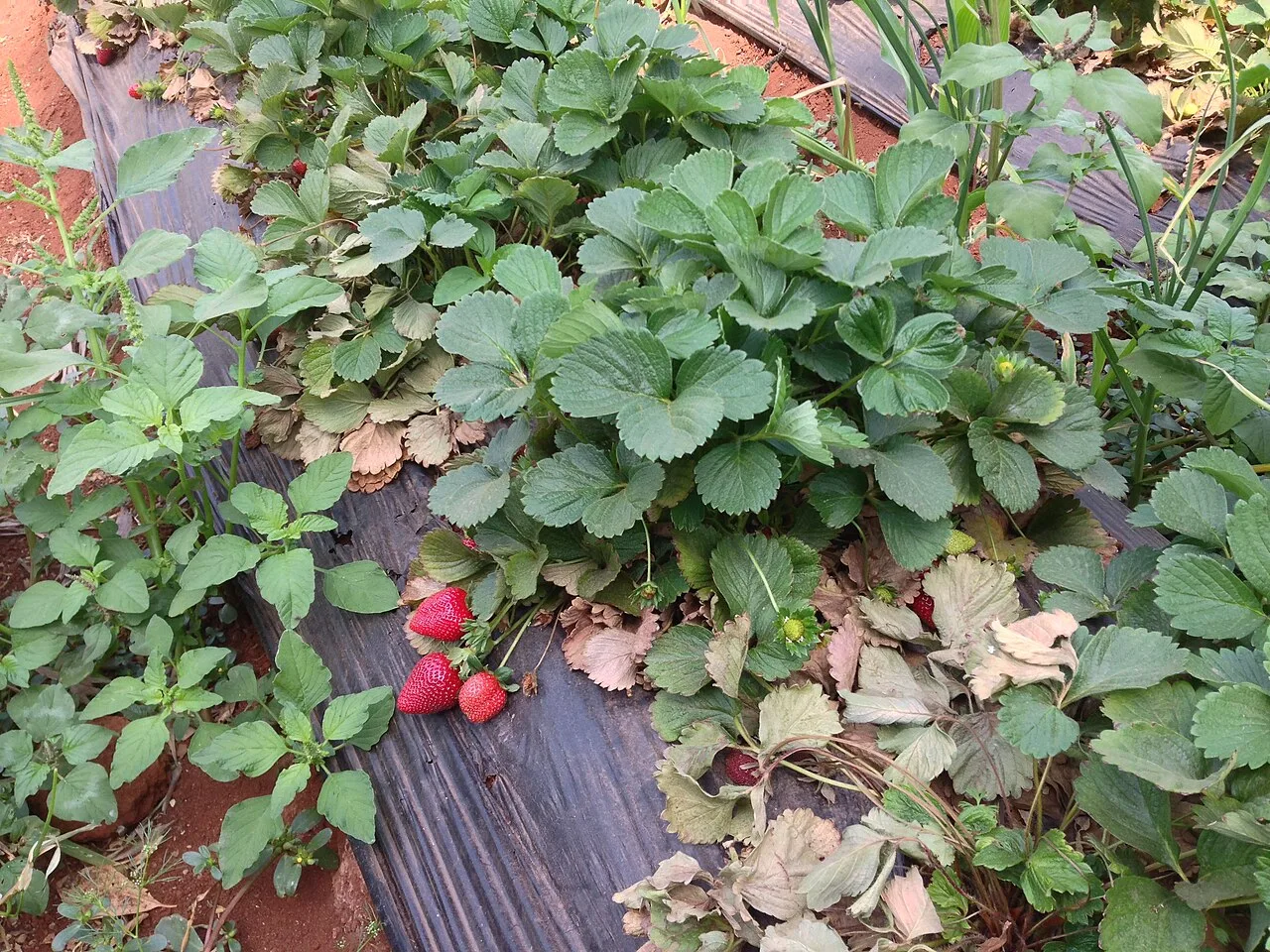
Vita is best understood as a local trading and service centre, rather than as a destination for a famous textile, handicraft or GI-tagged product. Shops and market streets serve residents from the town and nearby villages, with everyday goods and agricultural needs at the centre of local commerce. The range of produce and merchandise changes with season and supply, so visitors should treat the market as a place to explore local trade rather than expect a specialised shopping district.

There is no widely established signature craft or named product that can confidently be attributed to Vita. For a sense of the town’s commercial life, browse the central bazaar and shop-lined streets around the main town centre; these are the most practical places to look for groceries, household goods and locally prepared snacks. Agricultural activity in the surrounding taluka supports the town’s role as a regional hub, but particular crops and products vary across the area. Visitors seeking specialist textiles, handicrafts or certified regional products may find a broader selection in larger district or state centres.

History

Vita’s history is closely tied to its position within the inland Deccan and its role as a centre for the surrounding settlements of Khanapur taluka. The wider region has a long history shaped by changing Deccan and Maratha powers, but detailed, well-established accounts of Vita’s early rulers and particular political events are limited. It is therefore more useful to understand the town through its regional setting than to assign it a specific dynastic story without firm evidence.

During the modern administrative period, Vita developed as an important local centre, with civic services and trade serving nearby villages. Its designation as the headquarters of Khanapur taluka reinforced that role. The municipal council and growth of roads, education, retail and other services reflect the town’s gradual development into a contemporary regional hub. Today, its identity remains closely connected to the surrounding countryside and the needs of the taluka.

Food, festivals & culture

Everyday food in Vita reflects the wider Maharashtrian and Deccan tradition. Bhakri, pithla, zunka, thecha and rice-based meals are familiar choices, while eateries may also serve regional meat dishes. Menus vary between establishments, and visitors can ask locally about seasonal specialities. Tea shops and modest restaurants around the busy town centre are useful places to sample ordinary local fare.

Marathi is the principal language of daily life; Hindi is also useful in many interactions. Ganeshotsav, usually during the monsoon season, and Diwali in autumn are widely observed, alongside Holi in spring and Navratri in autumn. Religious observances and local temple fairs may bring neighbourhoods together, though dates and scale differ from year to year. Lavani and powada belong to Maharashtra’s broader performance traditions and may feature at cultural or festive events; they are not exclusive to Vita. Hindu temples and other neighbourhood places of worship form part of the town’s community life.

Visiting the city

The cooler months, roughly October to February, are generally the most comfortable time to visit. Summers can be hot, while the monsoon season brings rain and greener countryside. Check local conditions before travelling, particularly if you plan to explore rural roads.

Kolhapur Airport is a nearby airport option, while Karad railway station is a practical rail gateway; both require onward road travel to Vita. Buses and private vehicles connect the town with nearby settlements and larger regional centres. Within Vita, local transport and walking can cover the central area. Begin around the bazaar and main town centre for shops, food and a feel for daily life, then explore neighbourhoods and nearby villages as time and transport allow. Vita is more a regional base than a destination with a concentrated circuit of major visitor attractions.

Trips from the city

Nearest places to visit from Vita

Our closest destination guides, by straight-line distance.

Jyotiba Temple

66 km away · Kolhapur district

Jyotiba Temple

Near Wadi Ratnagiri in Maharashtra’s Kolhapur district, Jyotiba Temple is a Hindu place of worship. People visit the shrine and its annual fair, held at full moon in Chaitra and Vaishakha.

Panhala Fort

69 km away · Kolhapur district

Panhala Fort

Panhala Fort is a hilltop stronghold in Kolhapur district, Maharashtra, overlooking a Western Ghats pass. Visitors come to see its surviving structures and explore its connections with Deccan conflicts and Tarabai.

Mahalakshmi Temple, Kolhapur

72 km away · Kolhapur district

Mahalakshmi Temple, Kolhapur

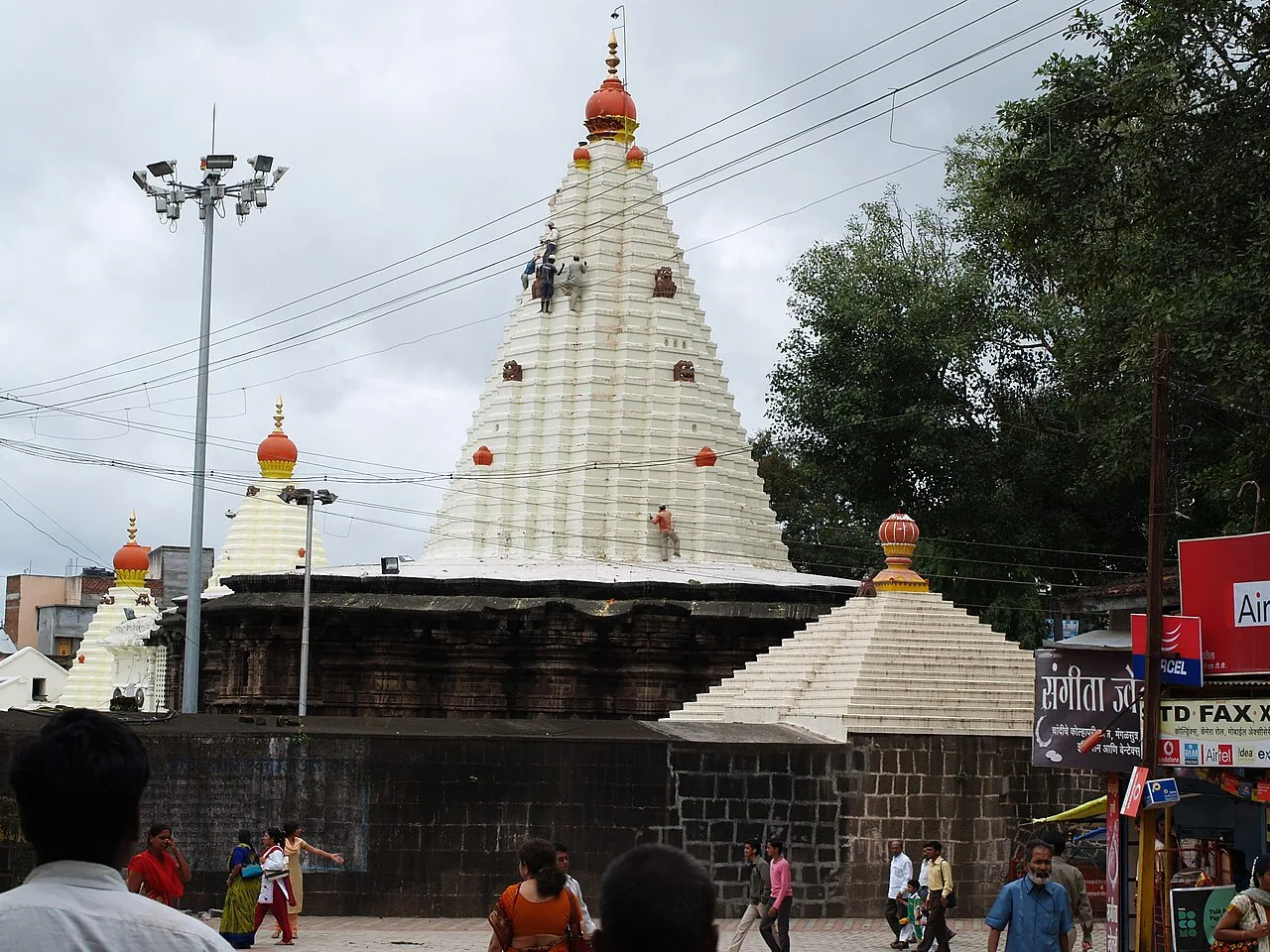
The Mahalakshmi Temple, also called Ambabai Mandir, is a shrine in Kolhapur district, Maharashtra, dedicated to Goddess Mahalakshmi and visited as part of Hindu pilgrimage.

Rankala Lake

74 km away · Kolhapur district

Rankala Lake

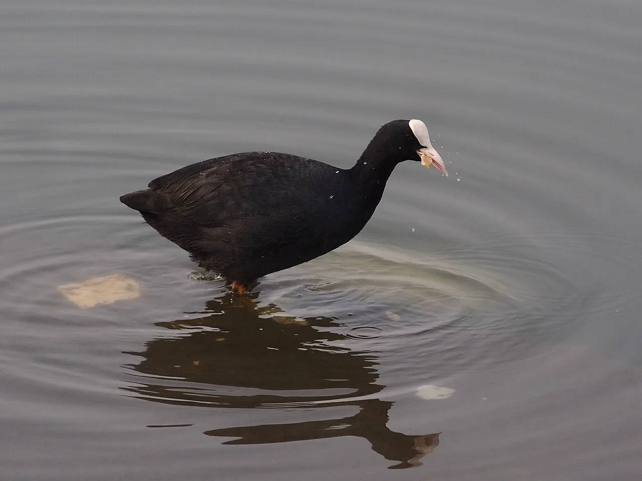
Rankala Lake is a freshwater lake in Kolhapur, Maharashtra. Visitors can come to see a lake within the city and spend time beside its waters.

Thoseghar Falls

82 km away · Satara district

Thoseghar Falls

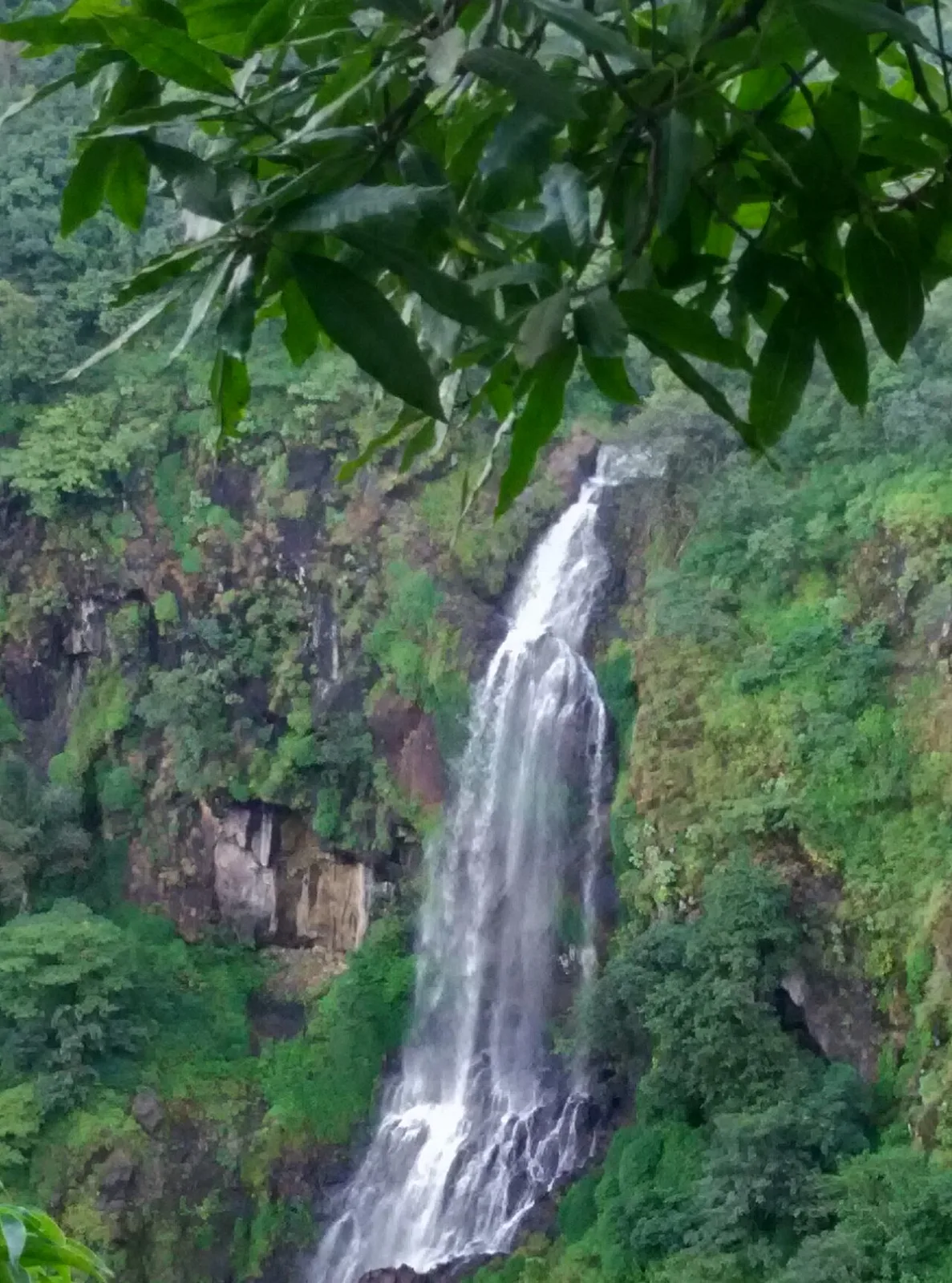
Thoseghar Falls is a series of cascades near Thoseghar village in Maharashtra’s Satara district. Visitors come to see the waterfalls, especially during the monsoon, when rainfall swells their flow.

Kaas Plateau

91 km away · Satara district

Kaas Plateau

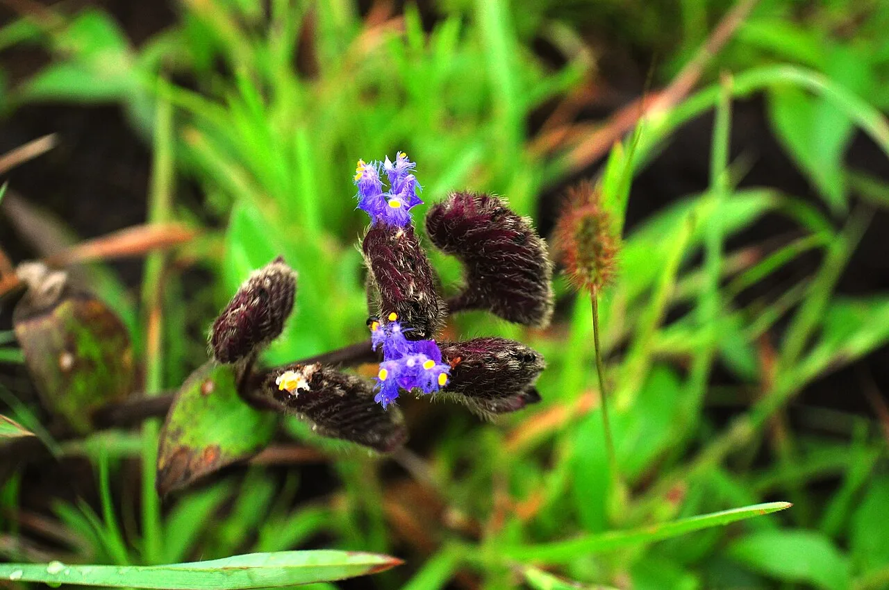
Kaas Plateau is a high basalt tableland and reserve forest in Maharashtra’s Satara district. Its seasonal wildflowers, endemic butterflies and distinctive plants make it a destination for nature visits, especially in August and September.

Vithoba Temple

95 km away · Solapur district

Vithoba Temple

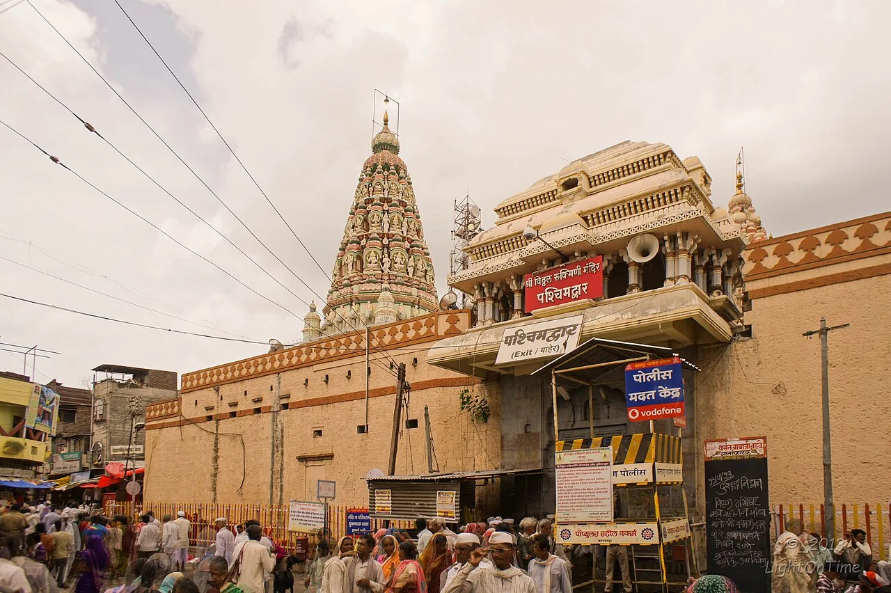
The Vithoba Temple, also called Shri Vitthal-Rukmini Mandir, is a Hindu shrine in Pandharpur, Maharashtra. Devotees visit to worship Vithoba and Rakhumai and join major Warkari pilgrimages.

Panchgani

107 km away · Satara district

Panchgani

Panchgani, also known as Paachgani, is a hill station in Maharashtra’s Satara district with municipal-council status. Visitors come throughout the year, and its many convent boarding schools are also well known.

Map

Vita on the map

  1. 1Jyotiba Temple
  2. 2Panhala Fort
  3. 3Mahalakshmi Temple, Kolhapur
  4. 4Rankala Lake
  5. 5Thoseghar Falls
  6. 6Kaas Plateau
  7. 7Vithoba Temple
  8. 8Panchgani

Maharashtra

Other cities to explore