Ghumoopedia — Explore, Discover, Experience
Sign in
Kalrayan Hills, near Attur

City guide · Tamil Nadu

Attur

Attur is a town in Salem district whose importance comes from its role as the headquarters of Attur taluk and its position on a busy road crossroads. National Highways 79 and 136 meet here, linking the town with Salem and other parts of western and central Tamil Nadu.

Famous for

  • Attur Fort
  • Vasista River
  • Salem-region tapioca
  • NH 79 and NH 136 junction
  • Attur taluk headquarters

Why Attur matters

Attur is a town in Salem district whose importance comes from its role as the headquarters of Attur taluk and its position on a busy road crossroads. National Highways 79 and 136 meet here, linking the town with Salem and other parts of western and central Tamil Nadu. This makes Attur a practical stop for people travelling through the region and a service centre for surrounding villages, with markets and everyday facilities serving local residents and farmers.

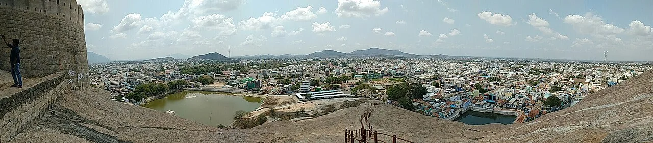
For visitors, the most distinctive landmark is Attur Fort, set beside the Vasista River. The town also offers a glimpse of life in an agricultural part of the Salem region, where local trade and transport connect rural communities to larger centres. It is not primarily a resort or a major heritage-tourism destination; rather, its appeal lies in the fort, the river setting and the chance to explore a working Tamil Nadu town. Attur is also associated with the wider Salem region’s tapioca and sago economy.
Famous for: crafts, trade & products

Attur’s economic identity is closely tied to its role as a market and service centre for the surrounding countryside. Agriculture and the movement of farm produce shape local trade, while tapioca cultivation and processing are part of the broader Salem-region economy. Salem is associated with sago production, but visitors should not assume that every product sold in Attur is made locally or carries a geographical indication. The town is not especially known as a major silk-saree centre or for a signature handicraft.

For everyday shopping, explore the town’s central market streets and shops around the main commercial areas. These are useful for groceries, household goods, clothing and locally traded produce; availability varies by season. Attur’s road connections also support small businesses and transport-related activity. Those looking specifically for specialist textiles, crafts or a wider choice of regional products may find more options in Salem city. Attur’s best-known draws remain its fort and its position as a local hub, rather than a single celebrated craft or product.

History

Attur’s history is reflected most visibly in its fort, which stands beside the Vasista River. The fort is commonly associated with the Gatti Mudaliar chiefs, though its early history and precise dating are not firmly established. Control of the surrounding region later shifted among larger South Indian powers, including Mysore, before the area came under British rule. The fort’s position by the river and along routes through the region helps explain its strategic value.

In the modern period, Attur developed as an administrative and commercial centre for its rural hinterland. Its status as the headquarters of Attur taluk brought public services and institutions to the town, while improved road links strengthened connections with Salem and neighbouring districts. The meeting of major highways has further supported trade and mobility. Today, the fort provides a tangible link with earlier political history, while the town’s daily life is shaped more by administration, transport and local commerce.

Food, festivals & culture

Tamil is the principal language of everyday life in Attur. Local food follows familiar Tamil Nadu patterns: breakfasts such as idli and dosa, rice-based meals with sambar and vegetables, and tea-shop snacks are widely found. Sweets and savouries vary by shop and season; there is no single dessert that defines the town. The surrounding agricultural region also influences what appears in local markets.

Pongal, usually celebrated in January, is an important harvest festival, while Tamil New Year in April and Deepavali in autumn are widely observed. Temple festivals take place on local calendars and can bring processions, music and gatherings to neighbourhood streets. Hindu places of worship form a visible part of community life, alongside the historic fort and river as landmarks. Carnatic and devotional music are familiar across the region, and folk performance may feature during festival occasions; visitors should check locally for events rather than expect a fixed annual programme.

Visiting the city

The cooler, drier months from roughly November to February are generally comfortable for exploring Attur. Summer can be hot, while the monsoon season may bring rain. Salem Airport is the nearest airport, though flight options can be limited; check current connections before planning around it. Attur has its own railway station for local rail access, while Salem Junction is the main regional rail hub.

Within town, taxis, auto-rickshaws and local buses are practical ways to get around. Allow time for Attur Fort and the nearby river setting, then explore the central market streets to see the town’s everyday commercial life. The highway approaches and town centre are useful bases for onward travel, while nearby villages offer a view of the agricultural hinterland. Confirm local access conditions before visiting the fort.

Trips from the city

Nearest places to visit from Attur

Our closest destination guides, by straight-line distance.

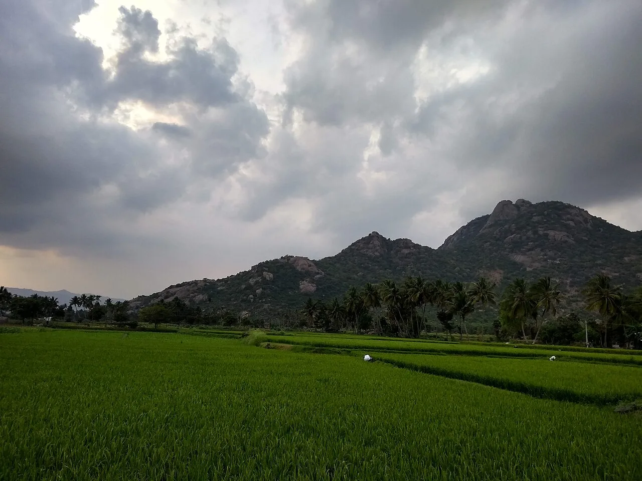
Kalrayan Hills

29 km away · Kallakurichi district

Kalrayan Hills

Kalrayan Hills are an extensive highland range in Tamil Nadu’s Eastern Ghats. Visitors come to experience its elevated terrain and its setting among the ranges that separate two river basins.

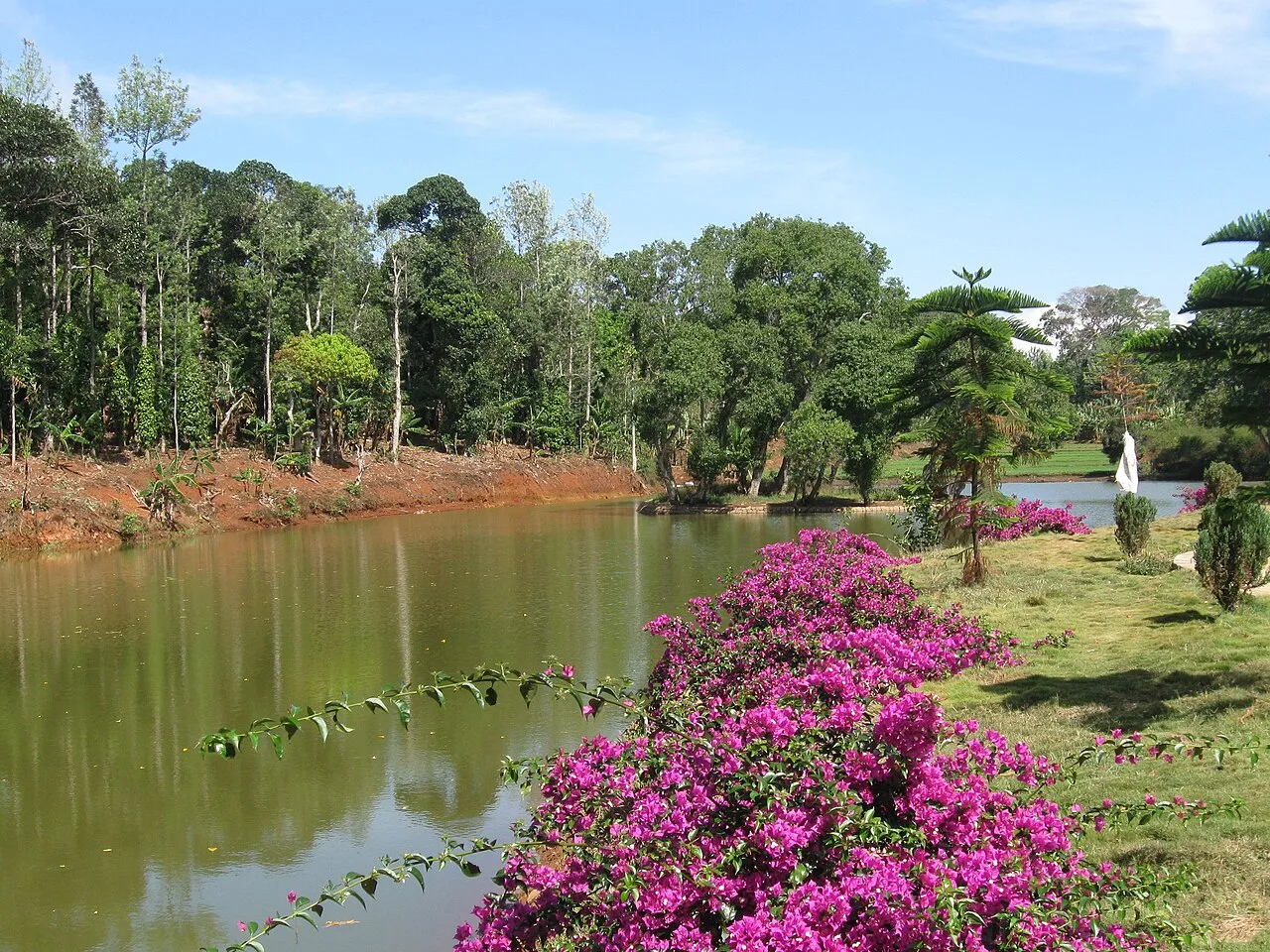
Kolli Hills

37 km away · Namakkal district

Kolli Hills

Kolli Malai, also called Kolli Hills, is a hill station and taluk within Tamil Nadu’s Namakkal district. Visitors come to the area in its capacity as a hill-station destination.

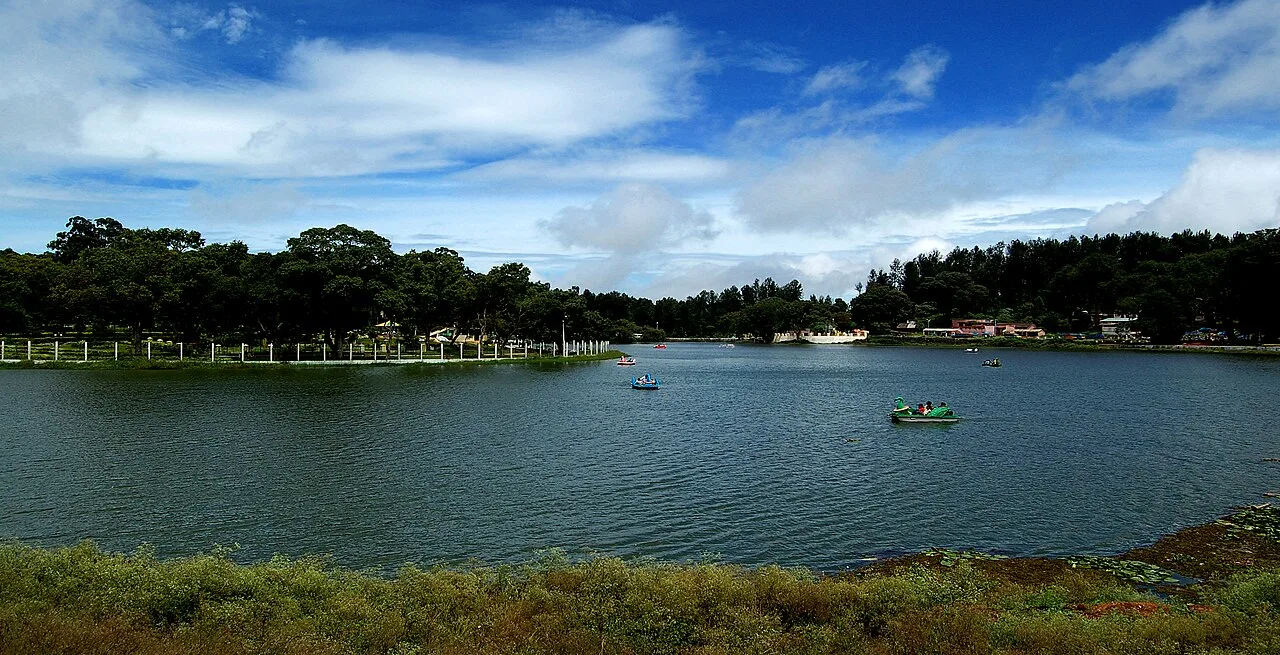
Yercaud Hill Station

48 km away · Salem district

Yercaud Hill Station

Yercaud, also known as Erkadu, is a hill town in Salem district, Tamil Nadu. Visitors come for its location in the Servarayan Hills, part of the Eastern Ghats.

Namakkal Fort

62 km away · Namakkal district

Namakkal Fort

Rising above Namakkal, this seventeenth-century fort occupies a hillock of solid rock and contains a temple and mosque. Visitors come to see these sites and explore its history.

Srirangam Ranganathaswamy Temple

82 km away · Tiruchirappalli district

Srirangam Ranganathaswamy Temple

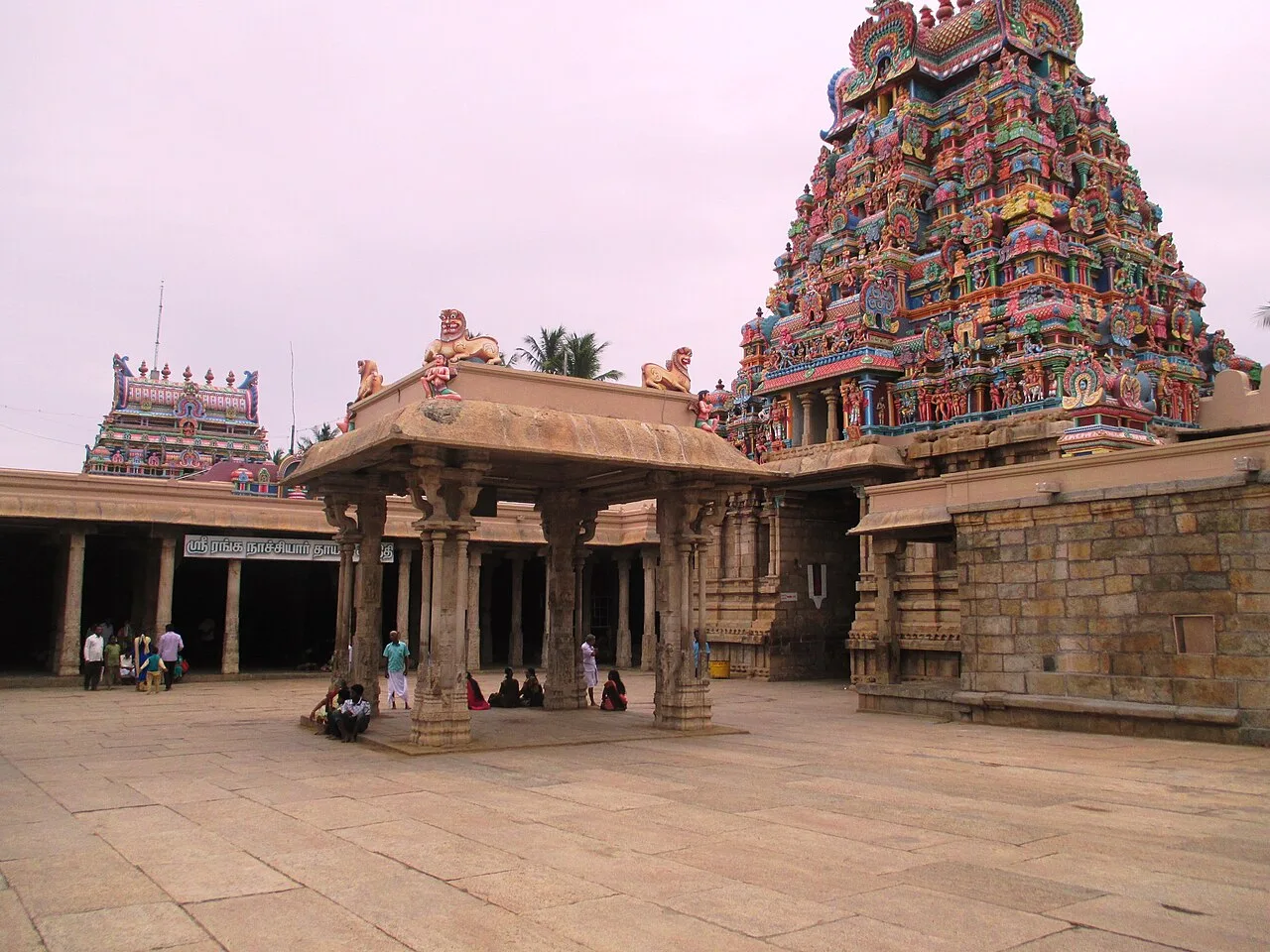
A major Vaishnava temple in Srirangam, this active shrine honours Vishnu and Lakshmi as Ranganathar and Ranganayaki. Visitors come for its religious significance, architecture and annual Margazhi festival.

Jambukeswarar Temple, Thiruvanaikaval

83 km away · Tiruchirappalli district

Jambukeswarar Temple, Thiruvanaikaval

Jambukeswarar Temple at Thiruvanaikaval is a Shiva shrine in Tamil Nadu associated with water. Visitors come to worship Jambukeshwarar and Akilandeswari and encounter the temple’s water-linked tradition.

Rockfort Ucchi Pillayar Temple

86 km away · Tiruchirappalli district

Rockfort Ucchi Pillayar Temple

Atop Rock Fort in Tiruchirappalli, Tamil Nadu, this seventh-century Hindu shrine is devoted to Ganesha. Visitors come to worship and to connect the site with a legend about Ganesha and King Vibishana.

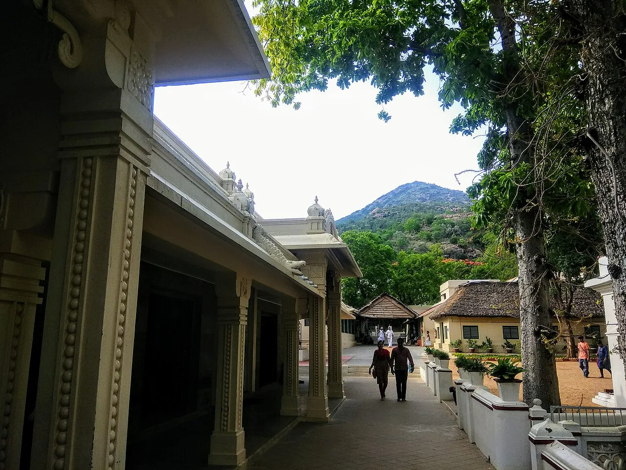
Sri Ramanasramam

86 km away · Tiruvannamalai district

Sri Ramanasramam

Sri Ramanasramam is a spiritual community and international non-profit organisation in Tiruvannamalai, associated with Ramana Maharshi. People visit to meditate, study his teachings and seek spiritual understanding.

Map

Attur on the map

  1. 1Kalrayan Hills
  2. 2Kolli Hills
  3. 3Yercaud Hill Station
  4. 4Namakkal Fort
  5. 5Srirangam Ranganathaswamy Temple
  6. 6Jambukeswarar Temple, Thiruvanaikaval
  7. 7Rockfort Ucchi Pillayar Temple
  8. 8Sri Ramanasramam

Tamil Nadu

Other cities to explore