Ghumoopedia — Explore, Discover, Experience
Sign in

City guide · Uttar Pradesh

Auraiya

Auraiya is a district headquarters in southwestern Uttar Pradesh and a service centre for the surrounding towns and villages. It lies on National Highway 19, the modern route number for the highway historically known as NH 2, connecting it with larger centres across the state.

Famous for

  • Devkali Temple
  • Auraiya district headquarters
  • National Highway 19 corridor
  • Dibiyapur energy industries
  • Yamuna river country

Why Auraiya matters

Auraiya is a district headquarters in southwestern Uttar Pradesh and a service centre for the surrounding towns and villages. It lies on National Highway 19, the modern route number for the highway historically known as NH 2, connecting it with larger centres across the state. Government offices, schools, healthcare services and local markets give the city its everyday importance, while road connections make it a practical stop for journeys through the region.

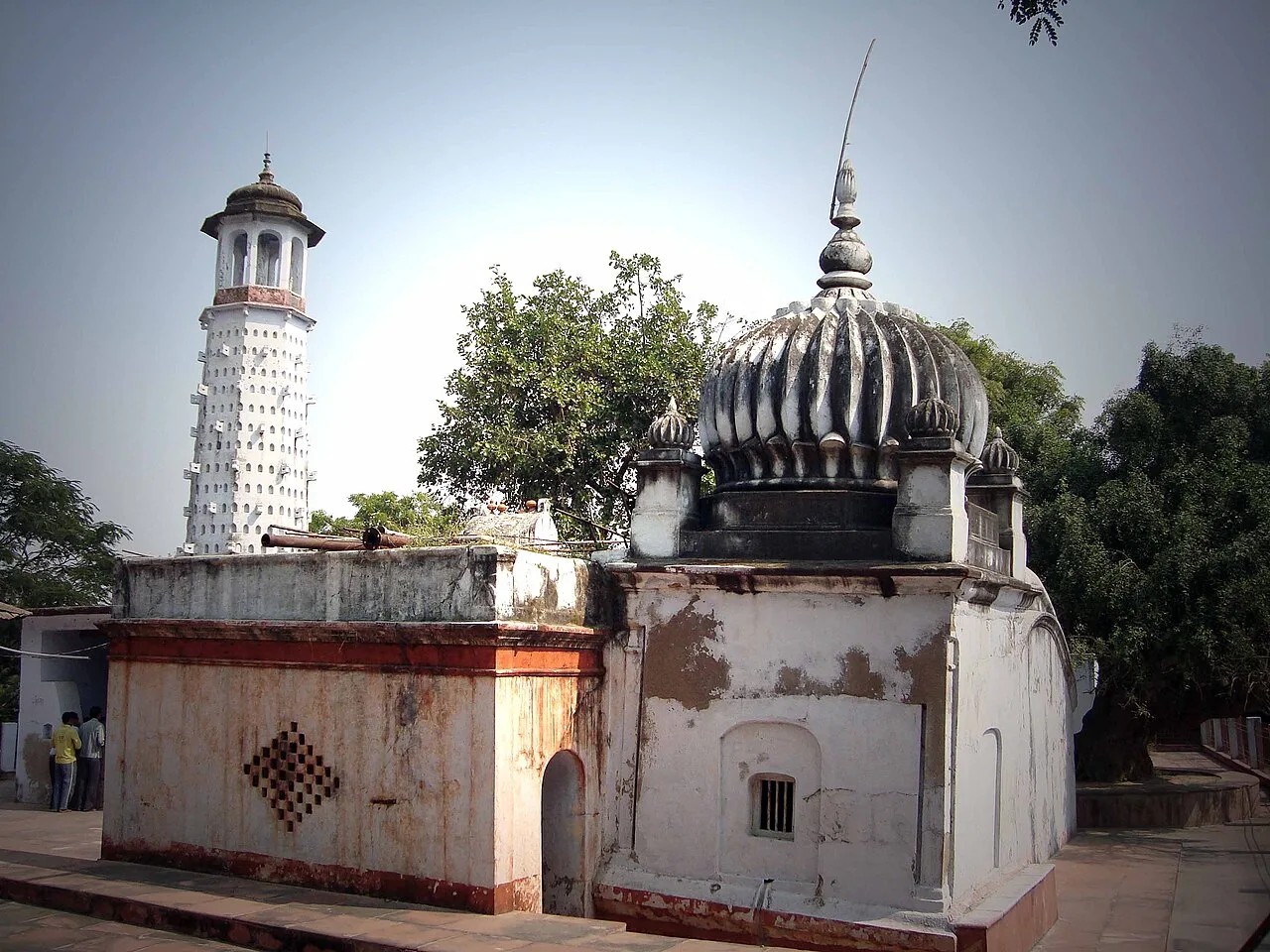
Visitors come principally for local places of worship, including Devkali Temple, and for a glimpse of life in the Etawah–Auraiya countryside. The wider district is shaped by the Yamuna and tributaries such as the Sengar and Rind; river landscapes and rural settlements are generally outside the urban centre. Auraiya is not chiefly a resort or a major craft-shopping destination. Its appeal is more modest: a working administrative town, a convenient base for local travel and a window onto the quieter landscape of the Kanpur division.
Famous for: crafts, trade & products

Auraiya is best understood as a regional market and administrative centre rather than a city with a nationally recognized textile, handicraft or specialty-food tradition. There is no widely established GI-tagged product or signature saree associated with the city. Local shops and bazaars serve residents from nearby settlements, with everyday clothing, household goods, groceries and seasonal produce among the ordinary purchases. The central market area is the most straightforward place to browse and buy these essentials.

The district has a more visible industrial profile around Dibiyapur and Pata, where energy and petrochemical facilities are important employers and landmarks in the regional economy. These are industrial sites, not craft markets or typical visitor attractions. Auraiya’s commercial life also supports the surrounding agricultural hinterland, but particular local products should not be mistaken for formally recognized city specialties. Travellers looking for a broad selection of branded goods or specialist crafts will generally find more choice in larger regional centres such as Kanpur.

History

Auraiya’s documented civic history is closely connected with its role as a tehsil town. During the colonial period it formed part of Etawah district, and it later continued as the headquarters of the Auraiya tehsil. Its location on a major east–west road helped sustain its role as a local centre for administration, trade and movement between settlements in the surrounding countryside.

The most significant modern change came on 17 September 1997, when the Auraiya and Bidhuna tehsils were separated from Etawah district to create Auraiya district. Auraiya then became the new district headquarters, bringing government services and offices into the city’s central role. Today it remains within the Kanpur division. The growth of nearby industrial facilities around Dibiyapur and Pata has added an important economic dimension to the district, alongside Auraiya’s continuing functions as a market and service town.

Food, festivals & culture

Daily food in Auraiya reflects the broader home cooking of Uttar Pradesh: wheat breads served with lentils, vegetables and seasonal produce. In local markets and snack shops, visitors may find familiar North Indian favourites such as kachori, samosa and jalebi. These are widely enjoyed foods rather than specialties unique to Auraiya. Hindi is used widely in public life, alongside local speech shaped by the Kannauji dialect and neighbouring regional varieties; Urdu is also present in the area.

Holi in spring and Diwali in autumn are prominent occasions, while Navratri is observed in spring and autumn and Eid follows the lunar calendar. Family gatherings, devotional singing and community events mark festival periods. Bhajans and folk songs are part of religious and social celebrations, though Auraiya is not especially known as a centre for a particular classical music or dance form. Devkali Temple is among the city’s notable places of worship; neighbourhood temples and mosques also serve local communities.

Visiting the city

The cooler months, roughly from October to March, are generally the most comfortable time to visit. Summers can be very hot, while monsoon weather may bring rain and humid conditions. Kanpur Airport at Chakeri is a commonly used airport for the area; Lucknow’s Chaudhary Charan Singh International Airport is a larger alternative with broader connections. Phaphund railway station, near Dibiyapur, is the main rail access point for Auraiya.

Within the city, auto-rickshaws and local road transport are useful for short trips; arrange onward travel to outlying sites separately. Explore the central market for everyday shops and food stalls, and visit the Devkali Temple area for a local place of worship. Auraiya also works as a base for exploring nearby towns and the wider rural district, though many river and industrial sites lie beyond the city itself.

Trips from the city

Nearest places to visit from Auraiya

Our closest destination guides, by straight-line distance.

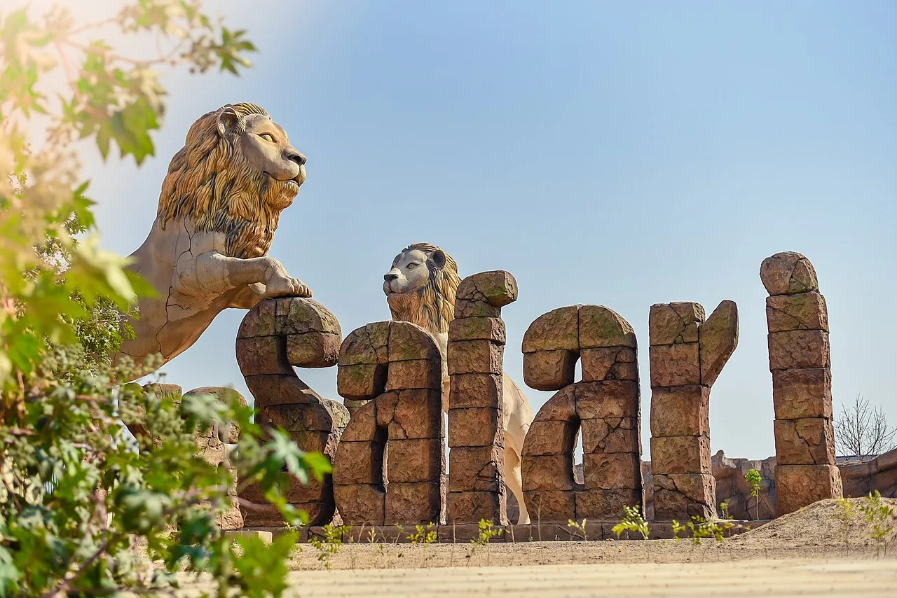
Etawah Safari Park

61 km away · Etawah district

Etawah Safari Park

A wildlife attraction in Etawah district, Uttar Pradesh, the park draws visitors for its vehicle-based safari experiences, Asiatic lion breeding centre and visitor centre.

Bithoor Ghats

78 km away · Kanpur Nagar district

Bithoor Ghats

Bithoor Ghats are part of Bithoor, a town in Uttar Pradesh beside the Ganges. People visit for its importance as a Hindu pilgrimage centre and its connection with Nana Sahib and the 1857 uprising.

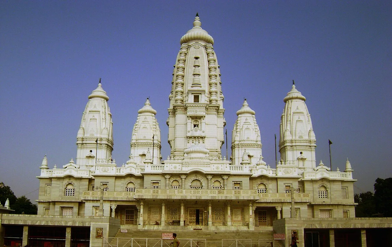
JK Temple

79 km away · Kanpur Nagar district

JK Temple

Known also as the Juggilal Kamlapat Temple and Radhakrishna Temple, this Hindu place of worship in Kanpur draws visitors for its combination of traditional and modern architectural features.

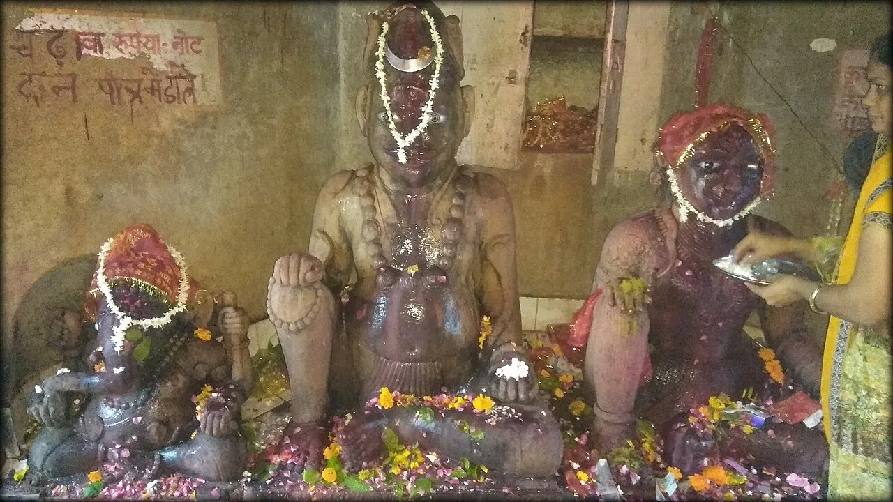
Bateshwar Temples, Agra

109 km away · Agra district

Bateshwar Temples, Agra

Bateshwar is a village in Uttar Pradesh’s Agra district, known as a spiritual centre for Hindus and Jains, with 101 Shiva temples and an annual fair.

Nawabganj Bird Sanctuary

115 km away · Unnao district

Nawabganj Bird Sanctuary

Nawabganj Bird Sanctuary, renamed Shahid Chandra Shekhar Azad Bird Sanctuary in 2015, is a wetland reserve in Unnao district, visited for its migratory birds, deer park, watchtowers and boats.

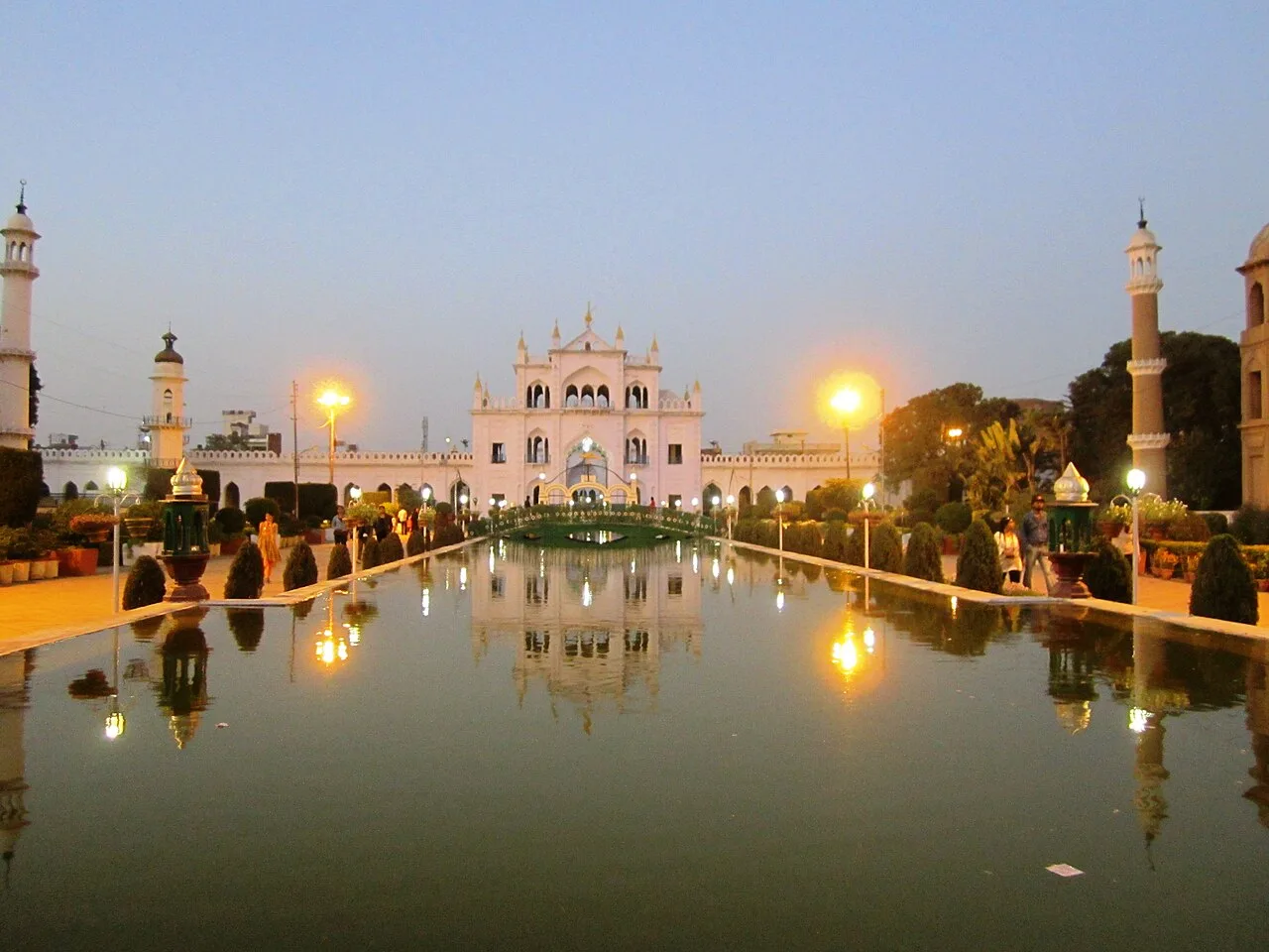
Chota Imambara

146 km away · Lucknow district

Chota Imambara

Chota Imambara, also called Imambara Hussainabad Mubarak, is a Shia religious hall and mausoleum in Lucknow. Visitors come to see its decorated interiors, calligraphy and distinctive ceremonial features.

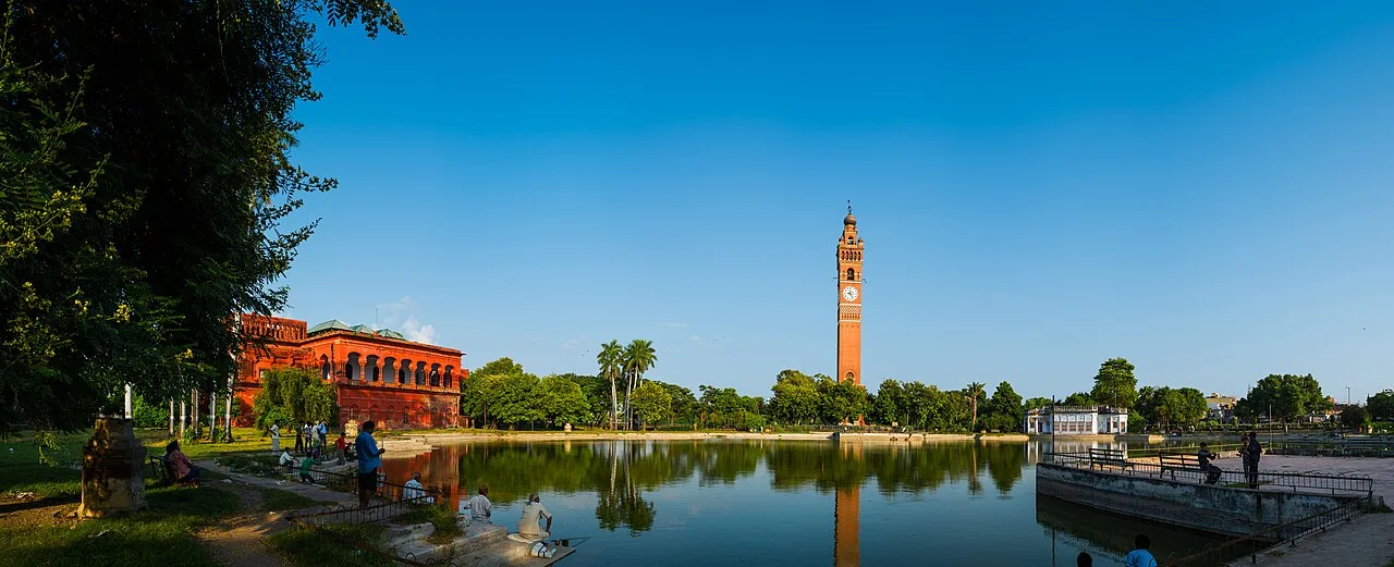
Husainabad Clock Tower

146 km away · Lucknow district

Husainabad Clock Tower

Husainabad Clock Tower is a historic structure in Lucknow, Uttar Pradesh, built to commemorate an official’s arrival. Visitors come to see its combination of Mughal and Victorian architectural features.

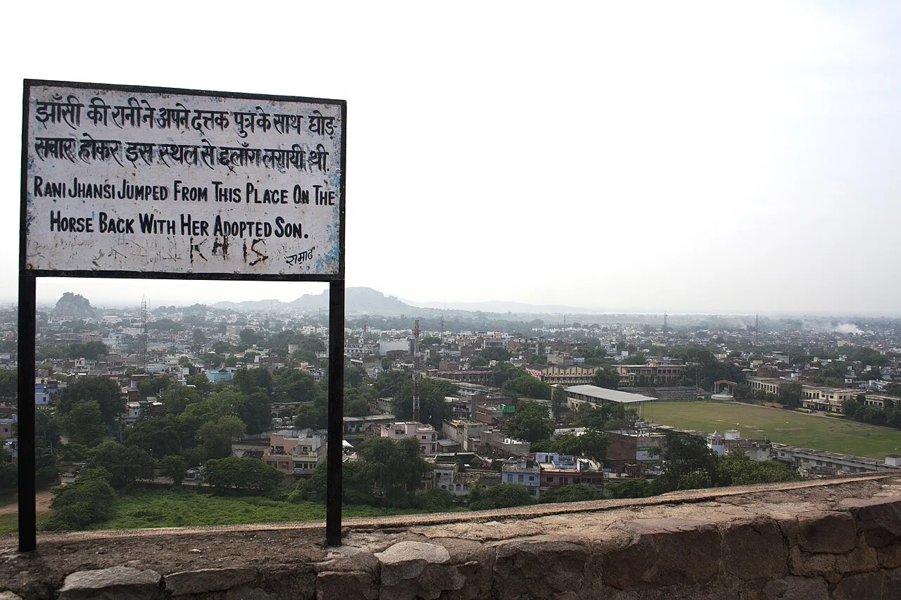
Jhansi Fort

146 km away · Jhansi district

Jhansi Fort

Jhansi Fort is a historic stronghold on Bangira in Jhansi, Uttar Pradesh. Visitors can explore its links to the Karhade Brahmin rulers and the town’s later British-era history.

Map

Auraiya on the map

  1. 1Etawah Safari Park
  2. 2Bithoor Ghats
  3. 3JK Temple
  4. 4Bateshwar Temples, Agra
  5. 5Nawabganj Bird Sanctuary
  6. 6Chota Imambara
  7. 7Husainabad Clock Tower
  8. 8Jhansi Fort

Uttar Pradesh

Other cities to explore