Ghumoopedia — Explore, Discover, Experience
Sign in
Ramnagar Fort, near Pandit Deen Dayal Upadhyaya Nagar

City guide · Uttar Pradesh

Pandit Deen Dayal Upadhyaya Nagar

Pandit Deen Dayal Upadhyaya Nagar, still widely called Mughalsarai, is a key transport centre in eastern Uttar Pradesh. Its railway junction connects routes across northern and eastern India, while the Grand Trunk Road (NH 19) links it to the wider road network.

Famous for

  • Pandit Deen Dayal Upadhyaya Junction
  • Major railway junction
  • Grand Trunk Road corridor
  • Railway colonies
  • Gateway to Varanasi

Why Pandit Deen Dayal Upadhyaya Nagar matters

Pandit Deen Dayal Upadhyaya Nagar, still widely called Mughalsarai, is a key transport centre in eastern Uttar Pradesh. Its railway junction connects routes across northern and eastern India, while the Grand Trunk Road (NH 19) links it to the wider road network. The city lies in Chandauli district, close to Varanasi, and serves residents, rail passengers and businesses moving goods through the region.

For most visitors, the main draw is the railway station and the city’s role as a convenient base for reaching Varanasi and other places in Purvanchal. The station and its extensive railway areas shape the town’s everyday character. Nearby Varanasi is the destination for major pilgrimage sites, riverfronts and celebrated crafts, while Chandauli district offers a more rural landscape. The city itself is best understood as a working transport hub rather than a conventional sightseeing centre: its importance comes from connectivity, railway history and its position on a longstanding east–west corridor.
Famous for: crafts, trade & products

The city’s strongest association is with rail transport, not with a distinctive textile or handicraft tradition. Pandit Deen Dayal Upadhyaya Junction and the surrounding railway facilities are central to local employment and commerce. Shops and markets around the station and in established neighbourhoods cater mainly to everyday needs, passengers and railway workers; visitors should not expect a specialised craft bazaar or a locally produced signature textile.

The wider region offers more recognisable products. Varanasi, a short journey away, is known for Banarasi silk sarees, brocades and handloom work, which are best sought from established shops and weaving areas there. Chandauli district has an agricultural economy, with rice among its important crops, but the city is not a dedicated centre for a particular GI-tagged product. For locally made souvenirs, ask in town about current availability rather than assuming an item is produced here. Travellers looking for a broader selection of crafts, textiles or traditional market goods will find more choice in Varanasi.

History

The city developed along the Grand Trunk Road, a historic route linking northern India with the east. During the Mughal period, this corridor carried people and trade; Sher Shah Suri is associated with improvements to the road, known as Sadak-e-Azam. The settlement has been referred to by several names over time, including Mughalchak and Mangalpur.

Its modern growth followed the arrival of the railway. Indian railways established a junction here in 1883, during British rule, turning the settlement into an important point on the expanding rail network. Railway yards, workshops and employee colonies helped shape its layout and economy. The town became widely known as Mughalsarai, a name that remains common in everyday use. In August 2018, it was officially renamed Pandit Deen Dayal Upadhyaya Nagar, in honour of the political leader. Today, rail operations and road connections continue to define its regional role.

Food, festivals & culture

Everyday food reflects eastern Uttar Pradesh and the nearby Varanasi region. Local eateries commonly serve staples such as puri-sabzi, kachori, samosas and seasonal snacks, with jalebi and other familiar sweets available in market areas. Tea stalls are part of the station-side street scene. These are regional favourites rather than products unique to the city.

Hindi and Bhojpuri are widely spoken, with Urdu also used in the area. Hindu festivals such as Holi, Diwali, Navratri and Dussehra bring neighbourhood celebrations, generally in spring or autumn according to the lunar calendar. Chhath, observed mainly in autumn, is an important festival across eastern Uttar Pradesh and Bihar; Eid and Muharram are also marked by local Muslim communities. Worship takes place in neighbourhood temples and mosques, alongside other community places of worship. Music heard at celebrations includes devotional singing and popular Bhojpuri songs; the city is not especially known as a centre for a distinct classical dance or music form.

Visiting the city

The most comfortable period to visit is generally October to March, when the weather is cooler than in the hot pre-monsoon months. The nearest major airport is Lal Bahadur Shastri International Airport at Babatpur, serving Varanasi. The main rail gateway is Pandit Deen Dayal Upadhyaya Junction, formerly Mughalsarai Junction.

Auto-rickshaws and local taxis are practical for getting around town; confirm the destination before setting off, as the railway areas and road corridors spread across several neighbourhoods. The station precinct is useful for observing the city’s transport activity. Vasant Vihar and other railway-colony areas show its railway-town character, while Kailashpuri and Ravinagar are residential areas to explore. For major heritage and cultural attractions, use the city as a base for onward travel to Varanasi.

Trips from the city

Nearest places to visit from Pandit Deen Dayal Upadhyaya Nagar

Our closest destination guides, by straight-line distance.

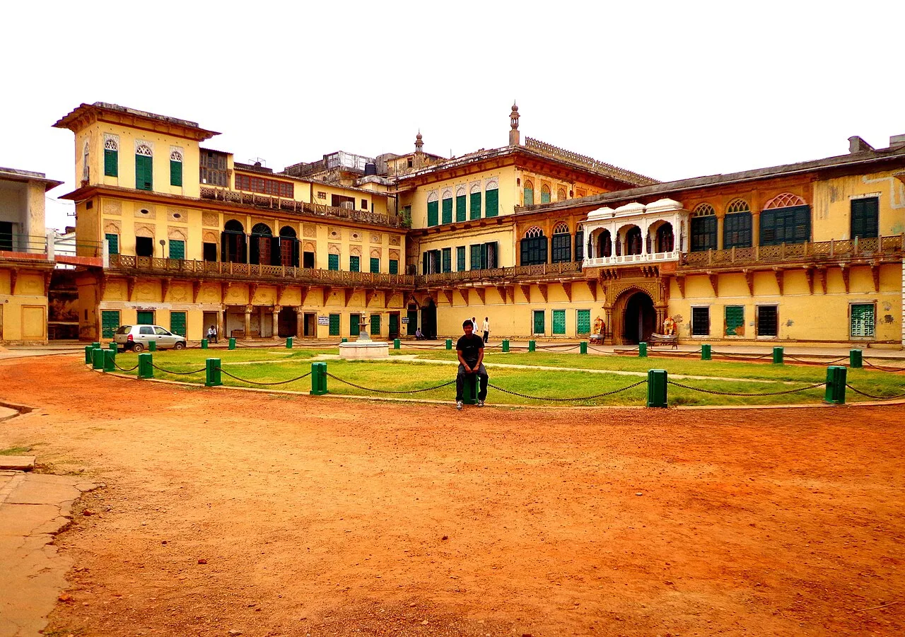
Ramnagar Fort

10 km away · Varanasi district

Ramnagar Fort

Ramnagar Fort is a sandstone fortification in Ramnagar, Varanasi district, on the Ganges’ eastern bank. Visitors come to view the structure and its position opposite Tulsi Ghat.

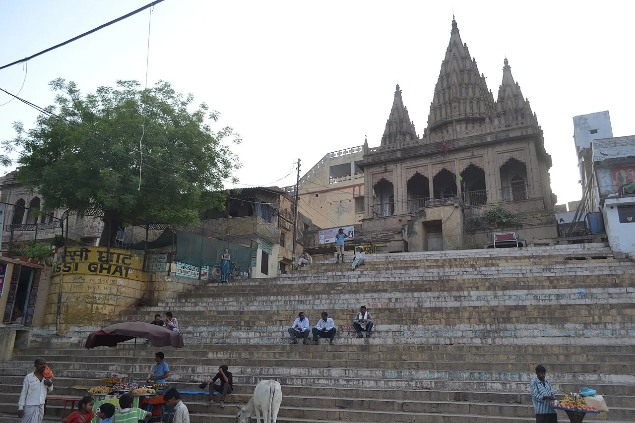
Assi Ghat

11 km away · Varanasi district

Assi Ghat

Assi Ghat is the southernmost ghat in Varanasi, Uttar Pradesh. Visitors know it as a place where foreign students, researchers and tourists stay, and where the morning cultural and spiritual event Subah-e-Banaras takes place.

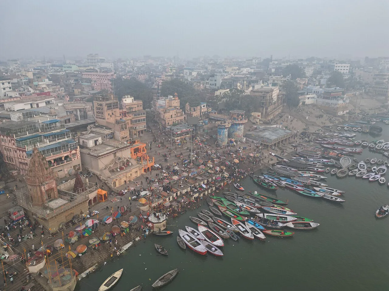
Dashashwamedh Ghat

11 km away · Varanasi district

Dashashwamedh Ghat

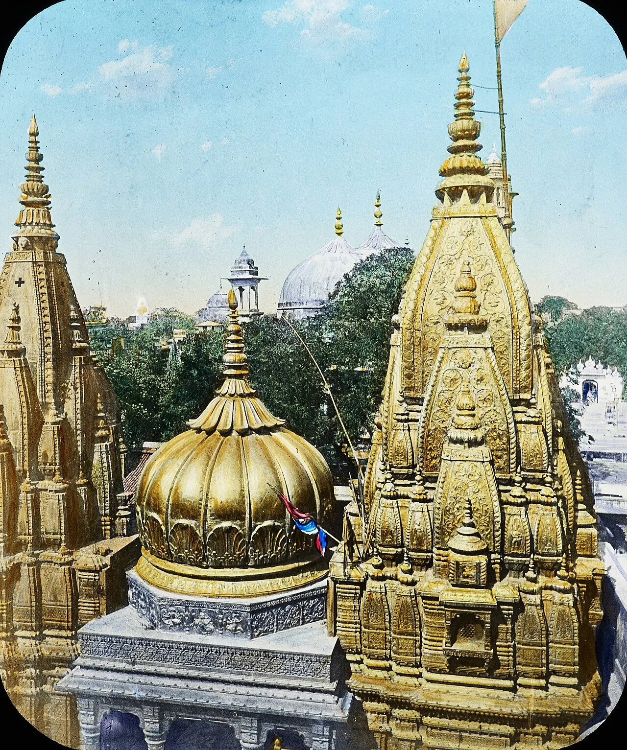
A prominent riverside ghat in Varanasi, Dashashwamedh is visited for its connection to Hindu legends and the city’s history, as well as its position beside the Ganges and near Vishwanath Temple.

Kashi Vishwanath Temple

11 km away · Varanasi district

Kashi Vishwanath Temple

Kashi Vishwanath Temple is a Shiva shrine in Varanasi and one of the twelve Jyotirlinga sites. Hindu pilgrims visit to worship Shiva, revered here as Vishwanath or Vishweshwara.

Manikarnika Ghat

11 km away · Varanasi district

Manikarnika Ghat

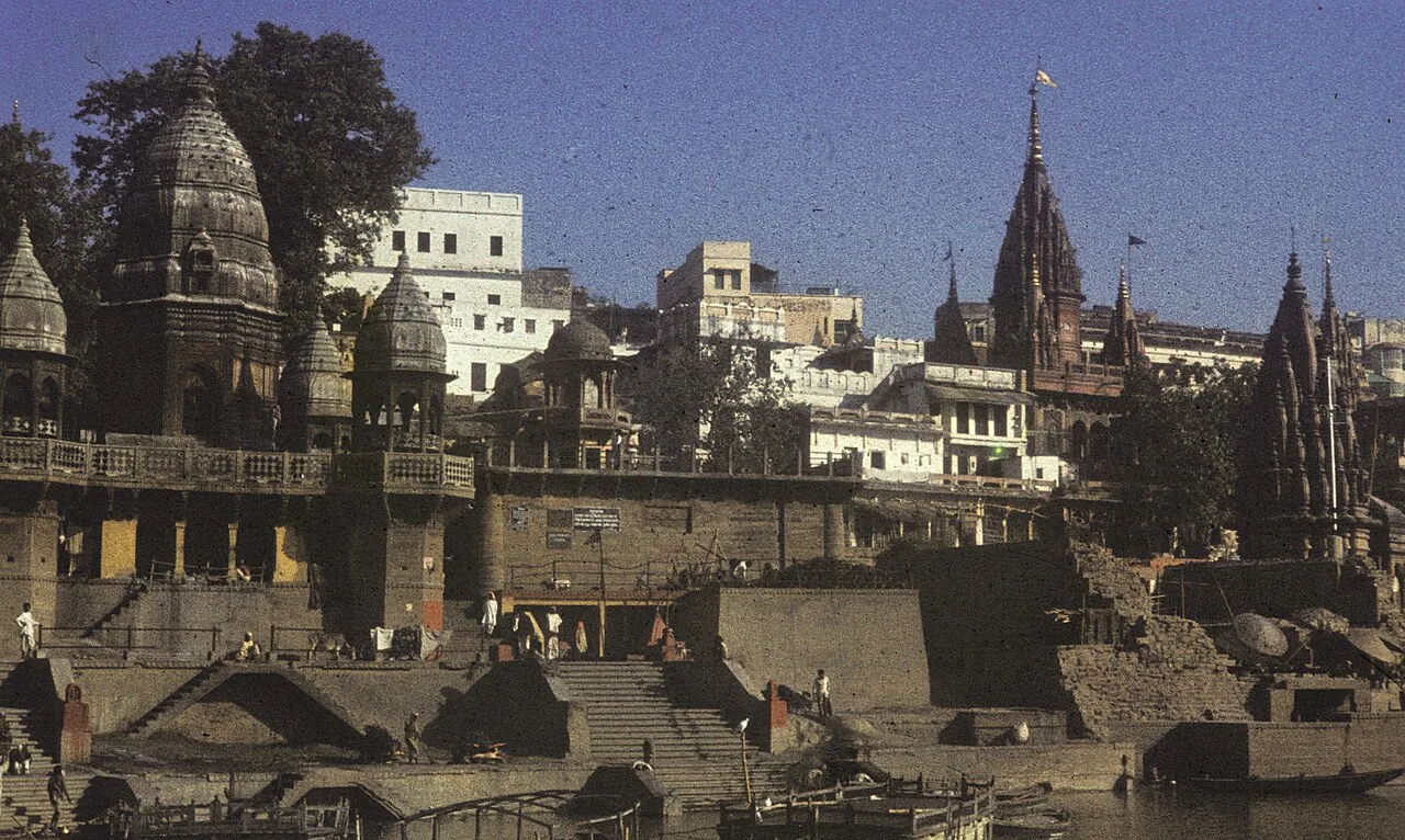
Manikarnika Ghat is a sacred Ganges-side site in Varanasi, Uttar Pradesh, visited for Hindu rites and cremations and revered for beliefs about moksha.

Durga Kund Mandir

12 km away · Varanasi district

Durga Kund Mandir

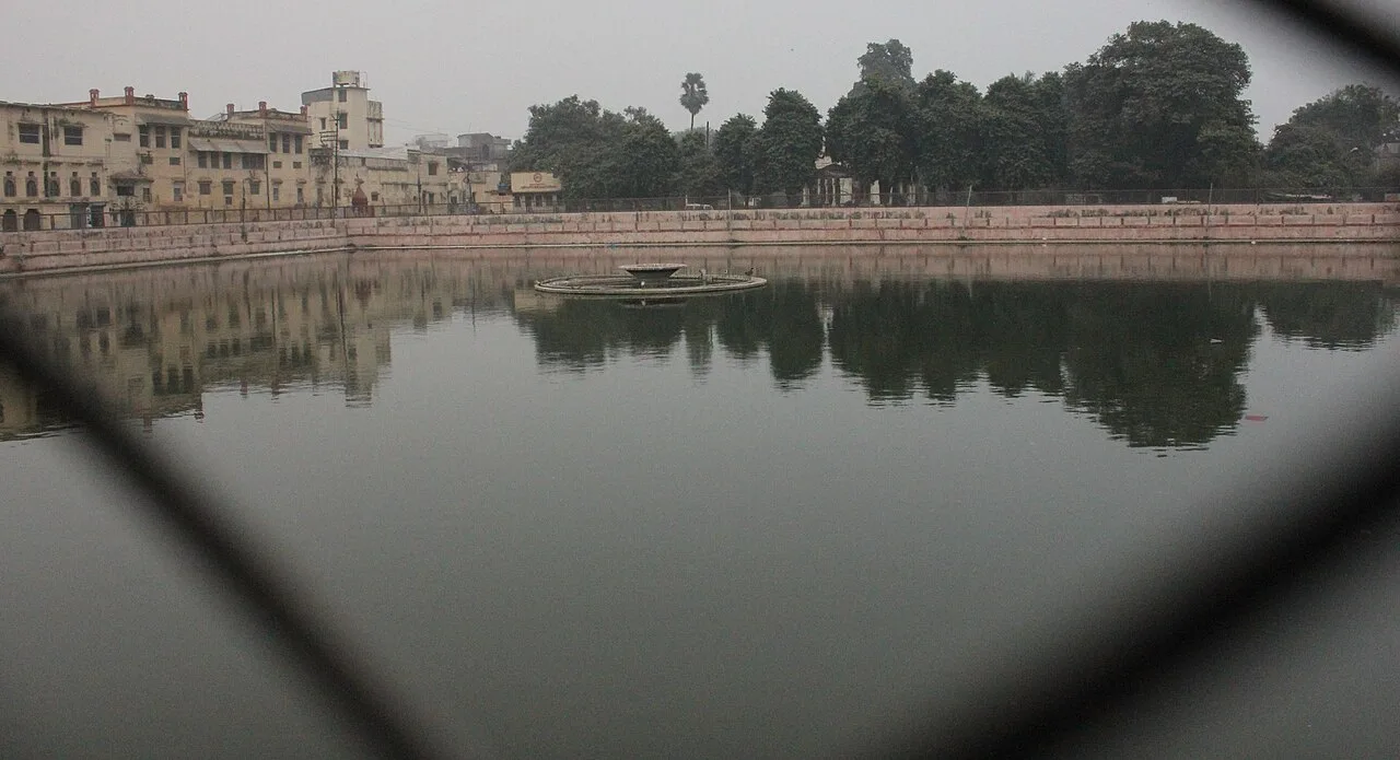
Durga Kund Mandir is a Hindu shrine to Durga in Varanasi district, Uttar Pradesh. People visit for its religious significance and its place among the city’s well-known temples.

Sankat Mochan Hanuman Temple

12 km away · Varanasi district

Sankat Mochan Hanuman Temple

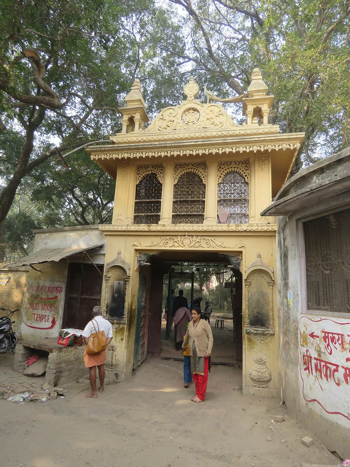
In Varanasi, Uttar Pradesh, this Hindu shrine honours Hanuman as Sankat Mochan, the one who relieves hardship. Visitors come to worship the deity in this form.

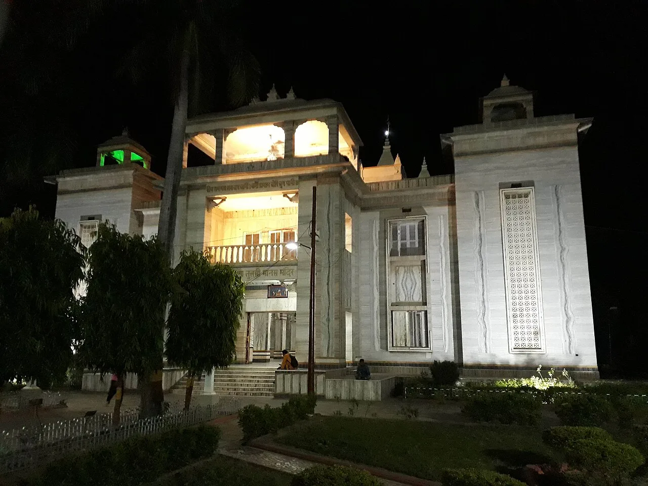
Tulsi Manas Mandir

12 km away · Varanasi district

Tulsi Manas Mandir

In Varanasi, Uttar Pradesh, Tulsi Manas Mandir is a Hindu temple associated with the Ramcharitmanas, which Goswami Tulsidas wrote there during the sixteenth century.

Map

Pandit Deen Dayal Upadhyaya Nagar on the map

  1. 1Ramnagar Fort
  2. 2Assi Ghat
  3. 3Dashashwamedh Ghat
  4. 4Kashi Vishwanath Temple
  5. 5Manikarnika Ghat
  6. 6Durga Kund Mandir
  7. 7Sankat Mochan Hanuman Temple
  8. 8Tulsi Manas Mandir

Uttar Pradesh

Other cities to explore