Ghumoopedia — Explore, Discover, Experience
Sign in
Ayodhya Old Town, near Tanda

City guide · Uttar Pradesh

Tanda

Tanda is a town and tehsil in Ambedkar Nagar district, in Uttar Pradesh’s Ayodhya division. It lies on the Ghaghara River, about 20 kilometres northeast of the district headquarters, Akbarpur.

Famous for

  • Tanda handloom weaving
  • Gamchha and lungi
  • Polyester fabrics
  • Check-shirt material
  • Ghaghara river setting

Why Tanda matters

Tanda is a town and tehsil in Ambedkar Nagar district, in Uttar Pradesh’s Ayodhya division. It lies on the Ghaghara River, about 20 kilometres northeast of the district headquarters, Akbarpur. Its location connects it with the towns and rural communities of eastern Uttar Pradesh, while its municipal role makes it an important local centre for trade and services.

Tanda is best known for its handloom industry, which produces practical textiles such as gamchhas, lungis, polyester clothing and checked fabric used for shirts. Weaving remains a defining part of the town’s working identity and draws traders and buyers seeking locally made cloth. Visitors may also find interest in its riverfront setting, busy bazaar and the town’s history, which reaches back to its establishment as a settlement in the early eighteenth century. Tanda is not a major sightseeing destination, but it offers a close look at a working textile town and everyday life in the Ghaghara basin.
Famous for: crafts, trade & products

Tanda’s most distinctive trade is handloom weaving. Local production includes gamchhas and lungis, along with polyester garments and checked material used for shirts. These are everyday textiles made for practical use as well as regional sale; the town’s reputation rests on its weaving industry rather than on a single luxury fabric or saree tradition. The products also support related work in cloth trading and small-scale manufacturing.

To look for Tanda-made cloth, explore the central bazaar and ask local shopkeepers about handloom goods or nearby weaving units. Small workshops and traders may sell directly or supply wholesale buyers, so availability and designs can vary. The town’s markets are also the natural place to find clothing and household fabric. Tanda’s textile identity is not generally associated with a widely recognised GI-tagged product; its best-known speciality is the range of woven and clothing fabrics made by its local industry. Visitors should confirm the place of manufacture with sellers, since markets may stock goods from elsewhere as well.

History

Tanda’s settlement history is associated with the Mughal period. In 1714, Emperor Farrukhsiyar is said to have asked Raja Syed Mohammad Hayat to establish a community on the bank of the Ghaghara, turning previously sparsely settled land into a town. The estate that grew around Tanda became influential across a broad region.

Before the Indian Rebellion of 1857, Raja Syed Hussain Ali and his brother Raja Syed Abbas Ali opposed British troops moving towards Delhi. The ensuing fighting cost many soldiers from the estate their lives. Later members of the family, including Raja Syed Mohammad Raza, helped preserve its legacy. Tanda subsequently developed as a local administrative and commercial centre and is now a nagar palika parishad as well as a tehsil of Ambedkar Nagar district. Its handloom sector became a major part of the town’s modern economy, producing cloth for local use and wider trade.

Food, festivals & culture

Tanda’s food culture reflects the wider eastern Uttar Pradesh and Awadh region. Everyday meals commonly feature wheat breads, rice, lentils and seasonal vegetables; market snacks may include kachori, chaat and samosas, with sweets such as jalebi or peda available from local shops. These are regional favourites rather than dishes unique to Tanda.

Hindi and Urdu are widely used, alongside local Awadhi and eastern Uttar Pradesh speech. The town observes festivals followed across the region, including Holi and Diwali in spring and autumn, and Dussehra in the autumn festival season. Eid celebrations follow the Islamic lunar calendar, so their season shifts from year to year; Muharram is also observed. Chhath, associated with worship of the setting and rising sun, is marked in the wider region after Diwali. Neighbourhood mosques and temples serve local communities, while family gatherings, prayer and seasonal markets shape festival life. Local music and performance are generally part of broader Awadhi and North Indian traditions rather than a distinct tourist attraction.

Visiting the city

October to March is generally the most comfortable period to visit, with cooler weather than the hot summer months and the monsoon season. Air travellers can use Maharishi Valmiki International Airport in Ayodhya and continue by road. Akbarpur Junction, about 20 kilometres southwest, is the principal nearby railway hub for broader rail connections; check current services for the most convenient route to Tanda.

Auto-rickshaws and other local vehicles are useful for getting around town, while buses and taxis connect Tanda with nearby centres. The central bazaar and weaving areas are good places to explore local commerce and textiles. The Ghaghara riverbank offers a quieter contrast to the town’s busy streets. Ask locally about access and conditions at the river, especially during the monsoon.

Trips from the city

Nearest places to visit from Tanda

Our closest destination guides, by straight-line distance.

Ayodhya Old Town

53 km away · Ayodhya district

Ayodhya Old Town

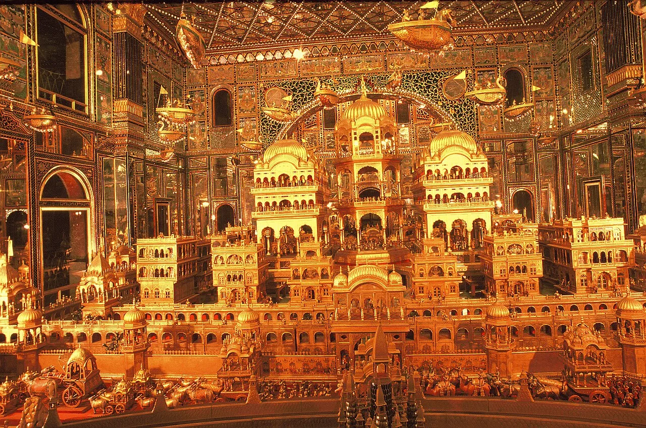
Ayodhya Old Town is the historic centre of a city in Uttar Pradesh, associated with early Buddhist and Jain traditions and the Hindu epic Ramayana. Visitors come chiefly for its religious importance and links to Rama.

Hanuman Garhi

53 km away · Ayodhya district

Hanuman Garhi

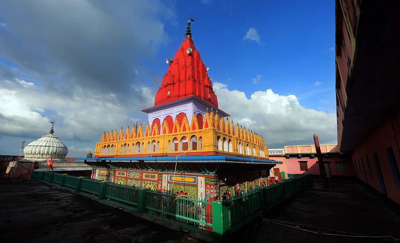
Hanuman Garhi is a Hindu shrine to Hanuman in Ayodhya, Uttar Pradesh. People visit to worship there, and it is counted among the city’s important temples.

Kanak Bhawan

53 km away · Ayodhya district

Kanak Bhawan

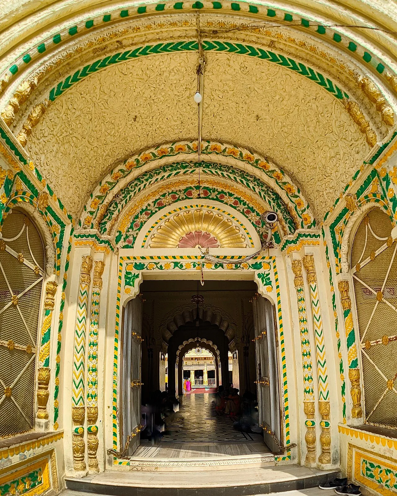
Kanak Bhawan is an Ayodhya temple linked to the stories of Rama and Sita, whose images are enshrined there. Visitors come to see the shrine and learn its traditional history.

Ram Mandir

54 km away · Ayodhya district

Ram Mandir

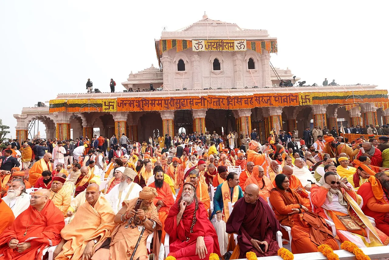
Ram Mandir is a Hindu temple complex in Ayodhya, Uttar Pradesh. Visitors come to worship at a place many Hindus regard as the birthplace of Rama.

Gorakhnath Math

74 km away · Gorakhpur district

Gorakhnath Math

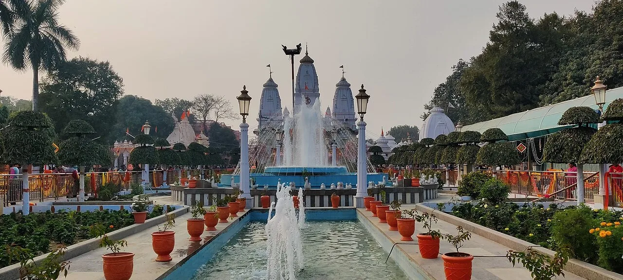
Gorakhnath Math is a Hindu temple and Nath monastic centre in Gorakhpur, Uttar Pradesh. People visit for its religious role and the cultural and social activities held on its premises.

Atala Mosque

89 km away · Jaunpur district

Atala Mosque

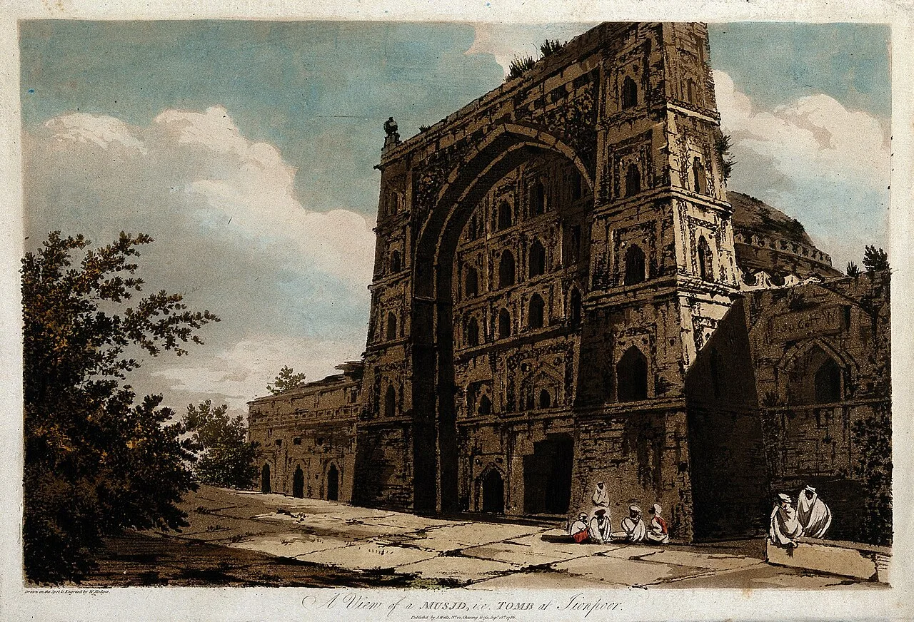
Atala Mosque, a 15th-century place of worship in Jaunpur, Uttar Pradesh, is visited by those wishing to see a historic mosque near the city’s Shahi Qila and Jama Mosque.

Shahi Bridge

89 km away · Jaunpur district

Shahi Bridge

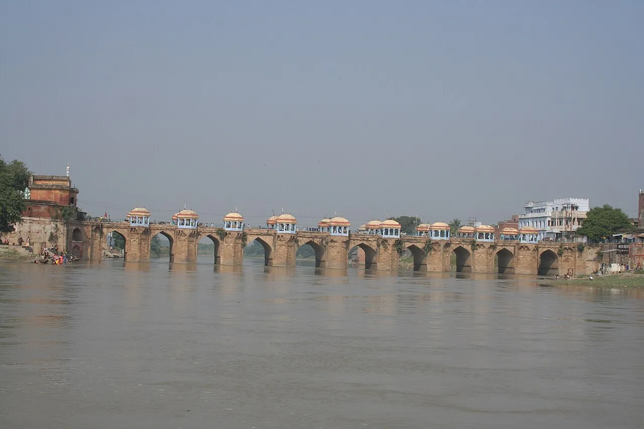
Shahi Bridge is a 16th-century crossing over the Gomti in Jaunpur, Uttar Pradesh. Visitors come to see the historic bridge, which is also known by several other names.

Chandra Prabha Wildlife Sanctuary

112 km away · Chandauli district

Chandra Prabha Wildlife Sanctuary

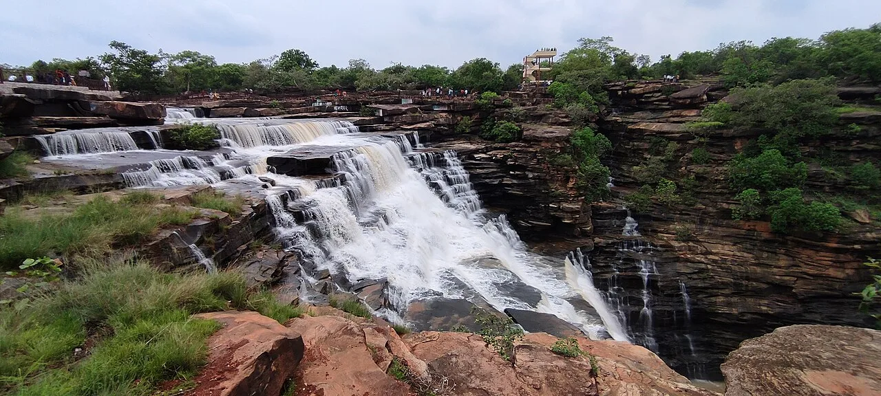
In Uttar Pradesh’s Chandauli district, Chandraprabha is a wildlife sanctuary in central India. Visitors come to explore the sanctuary, which lies around 70 kilometres from Varanasi.

Map

Tanda on the map

  1. 1Ayodhya Old Town
  2. 2Hanuman Garhi
  3. 3Kanak Bhawan
  4. 4Ram Mandir
  5. 5Gorakhnath Math
  6. 6Atala Mosque
  7. 7Shahi Bridge
  8. 8Chandra Prabha Wildlife Sanctuary

Uttar Pradesh

Other cities to explore