Ghumoopedia — Explore, Discover, Experience
Sign in

City guide · Maharashtra

Akola

Akola is a regional centre in Maharashtra’s Vidarbha region, serving as an important hub for commerce, education, transport and agriculture. Set in the Tapti valley, it connects surrounding farming districts with larger markets and is a significant road and rail junction between western and eastern Maharashtra.

Famous for

  • Akola Fort
  • Cotton and agricultural trade
  • Morna River
  • Varhadi cuisine
  • Narnala Fort

Why Akola matters

Akola is a regional centre in Maharashtra’s Vidarbha region, serving as an important hub for commerce, education, transport and agriculture. Set in the Tapti valley, it connects surrounding farming districts with larger markets and is a significant road and rail junction between western and eastern Maharashtra. Cotton, oilseeds and other farm produce underpin much of its trade, while educational institutions and coaching centres bring students from across the region.

Visitors find a working city rather than a polished resort destination: its appeal lies in local markets, the historic Akola Fort, places of worship and the everyday character of Varhadi life. The Morna River runs through the city, and forts in the wider district, including Narnala, offer excursions beyond the urban centre. Akola is also associated with Dr Panjabrao Deshmukh Krishi Vidyapeeth, a major agricultural university. Its location and services make it a useful base for exploring this part of Vidarbha.
Famous for: crafts, trade & products

Akola’s commercial identity is closely tied to cotton and agriculture. Cotton ginning and pressing, oilseed processing and trade in crops such as soybean and pulses support the local economy. The city is not especially known for a signature handloom, handicraft or GI-tagged product; its markets are more useful for everyday shopping and agricultural commerce than for a specialised craft trail. Visitors can browse the central commercial areas and older bazaars for clothing, household goods and regional food products, while wholesale farm trade is generally geared to growers and businesses.

The city’s institutional presence is another part of its profile. Dr Panjabrao Deshmukh Krishi Vidyapeeth is an important agricultural university, and Akola also has colleges and coaching centres serving students from across Vidarbha. For visitors interested in the region’s history, Akola Fort is a notable landmark; Narnala Fort, outside the city, is a larger excursion. Rather than seeking a single famous local product, look for cotton-based goods and regional staples in the city’s general markets.

History

Akola lies in the historic Berar region, associated in tradition with the ancient land of Vidarbha. From the early medieval period, Berar passed through the hands of the Delhi Sultanate, the Bahmani Sultanate and successor powers, including the Nizam Shahis of Ahmednagar. The Mughals took control of Berar in the late sixteenth century, and Akola Fort was strengthened during the Mughal era. In 1724, Berar came under the Nizam of Hyderabad as Mughal authority weakened.

The Battle of Argaon, fought in the region in 1803 during the Second Anglo-Maratha War, marked a major episode in the area’s colonial-era history. Berar came under the administration of the British East India Company in 1853. After independence, Akola continued to develop as a district and regional centre, with its rail connections, agricultural trade and educational institutions supporting its growth. The city’s modern role reflects both its position within Vidarbha and its long-standing links to the surrounding farming region.

Food, festivals & culture

Everyday food in Akola reflects Varhadi and wider Maharashtrian tastes. Meals commonly feature bhakri, pithla, lentils, seasonal vegetables and spicy curries; the local style is often bolder in chilli and seasoning than food from some other parts of Maharashtra. Sweet shops offer familiar regional and Indian treats, though no single sweet defines the city. Markets and neighbourhood eateries are good places to sample everyday cooking.

Marathi, particularly the Varhadi dialect, is widely spoken. Hindi is also common, and Urdu is used within parts of the community; English is familiar in educational and professional settings. Ganeshotsav and Navratri bring public celebrations, while Diwali, Holi and Eid are observed across the city. Bhajans, kirtan and devotional music are heard at religious gatherings, with dhol and other percussion accompanying festival processions. Rajeshwar Temple is among the city’s important places of worship, alongside its mosques and other community shrines.

Visiting the city

The most comfortable time to visit is during the cooler months, roughly October to February. Summers can be intensely hot, while the monsoon brings rain and greener countryside. Akola Airport is the closest airfield, but scheduled passenger services may be limited; Nagpur’s Dr. Babasaheb Ambedkar International Airport is a larger alternative. Akola Junction is the main railway station and a key rail connection for the region.

Auto-rickshaws and local buses are useful for getting around, with taxis available for longer outings. Explore the old city and its bazaars, visit Akola Fort and Rajeshwar Temple, or make a separate trip to Narnala Fort in the surrounding district. The central commercial areas are practical for food and shopping, while the station area is convenient for onward travel. Check current transport availability before setting out on a day trip.

Trips from the city

Nearest places to visit from Akola

Our closest destination guides, by straight-line distance.

Melghat Tiger Reserve

84 km away · Amravati district

Melghat Tiger Reserve

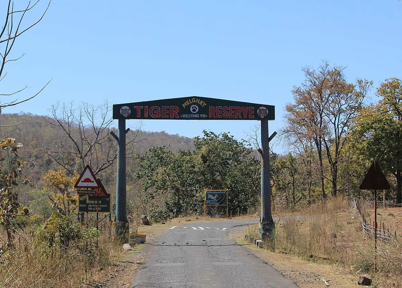
Melghat Tiger Reserve is a protected area in northern Amravati district, Maharashtra. Visitors come to experience its wildlife and learn about its place in India’s Project Tiger programme.

Chikhaldara

93 km away · Amravati district

Chikhaldara

Chikhaldara is a hill settlement and municipal council in Maharashtra’s Amravati district. Visitors come for its highland setting, coffee-growing area and nearby wildlife at the Melghat Tiger Project.

Lonar Lake

96 km away · Buldhana district

Lonar Lake

Lonar Lake is a saline, soda-rich lake in Maharashtra’s Buldhana district, set within a meteorite-impact crater. Visitors come to see its unusual geological formation and recognised conservation status.

Aundha Nagnath Temple

130 km away · Hingoli district

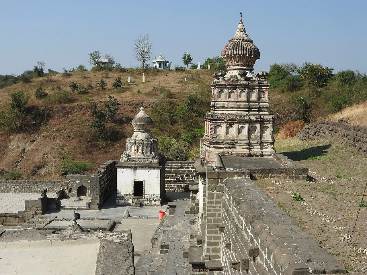
Aundha Nagnath Temple

Aundha Nagnath Temple is an old Shiva shrine in Maharashtra’s Hingoli district, regarded as the eighth of the twelve Jyotirlinga shrines. Visitors come for its religious importance, historical associations and distinctive architecture.

Ajanta Caves

136 km away · Chhatrapati Sambhajinagar district

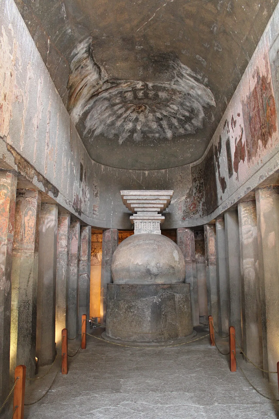
Ajanta Caves

Ajanta is a group of 30 Buddhist caves in Maharashtra, known for its ancient paintings, sculptures and religious architecture. Visitors come to explore the site’s artistic and monastic heritage.

Sevagram Ashram

173 km away · Wardha district

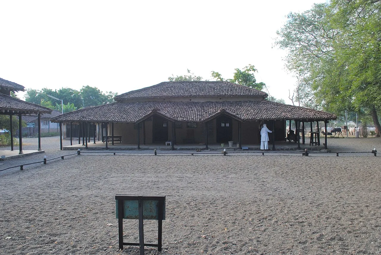
Sevagram Ashram

Sevagram Ashram, in Wardha district, Maharashtra, is known as Mahatma Gandhi’s ashram and home from 1936 until his death in 1948. People visit for its connection with his life.

Hazur Sahib

176 km away · Nanded district

Hazur Sahib

Takht Sachkhand Sri Hazur Abchalnagar Sahib is one of Sikhism’s five takhts, in Nanded, Maharashtra. Visitors come to worship and remember Guru Gobind Singh at the site associated with his death and cremation.

Aurangabad Caves

197 km away · Chhatrapati Sambhajinagar district

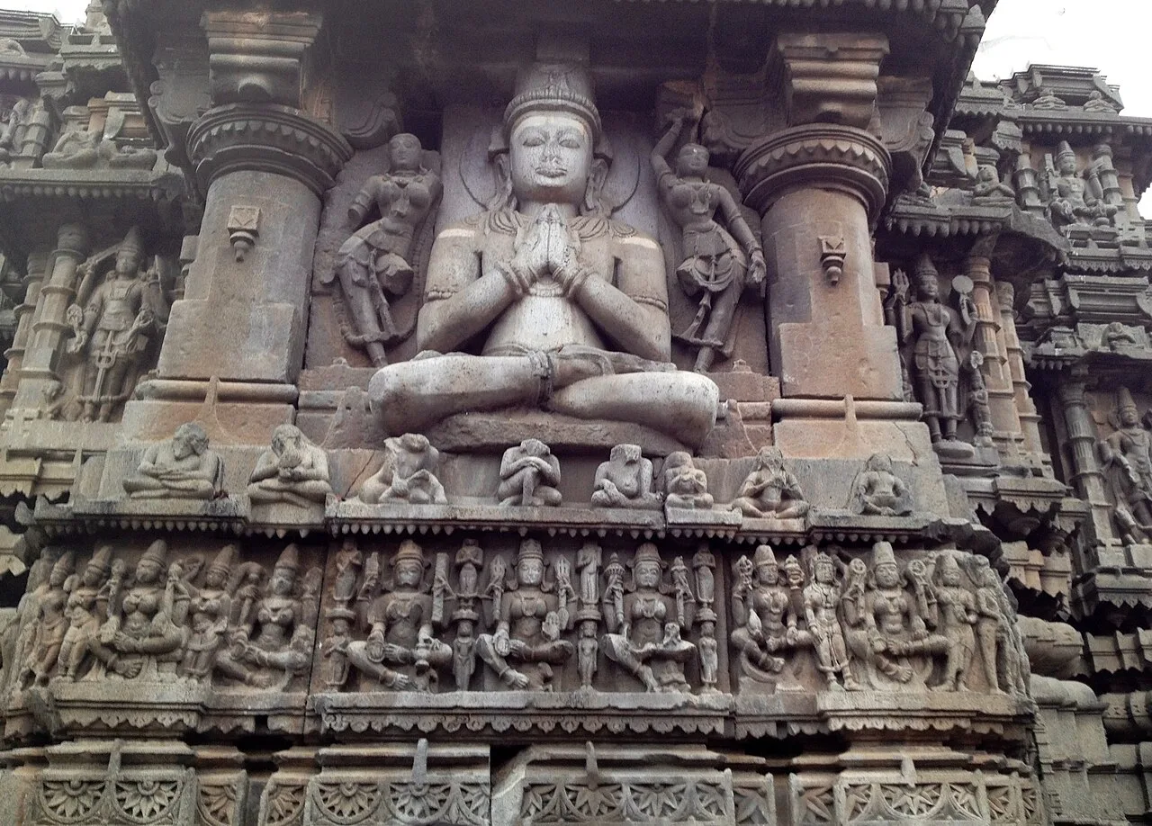
Aurangabad Caves

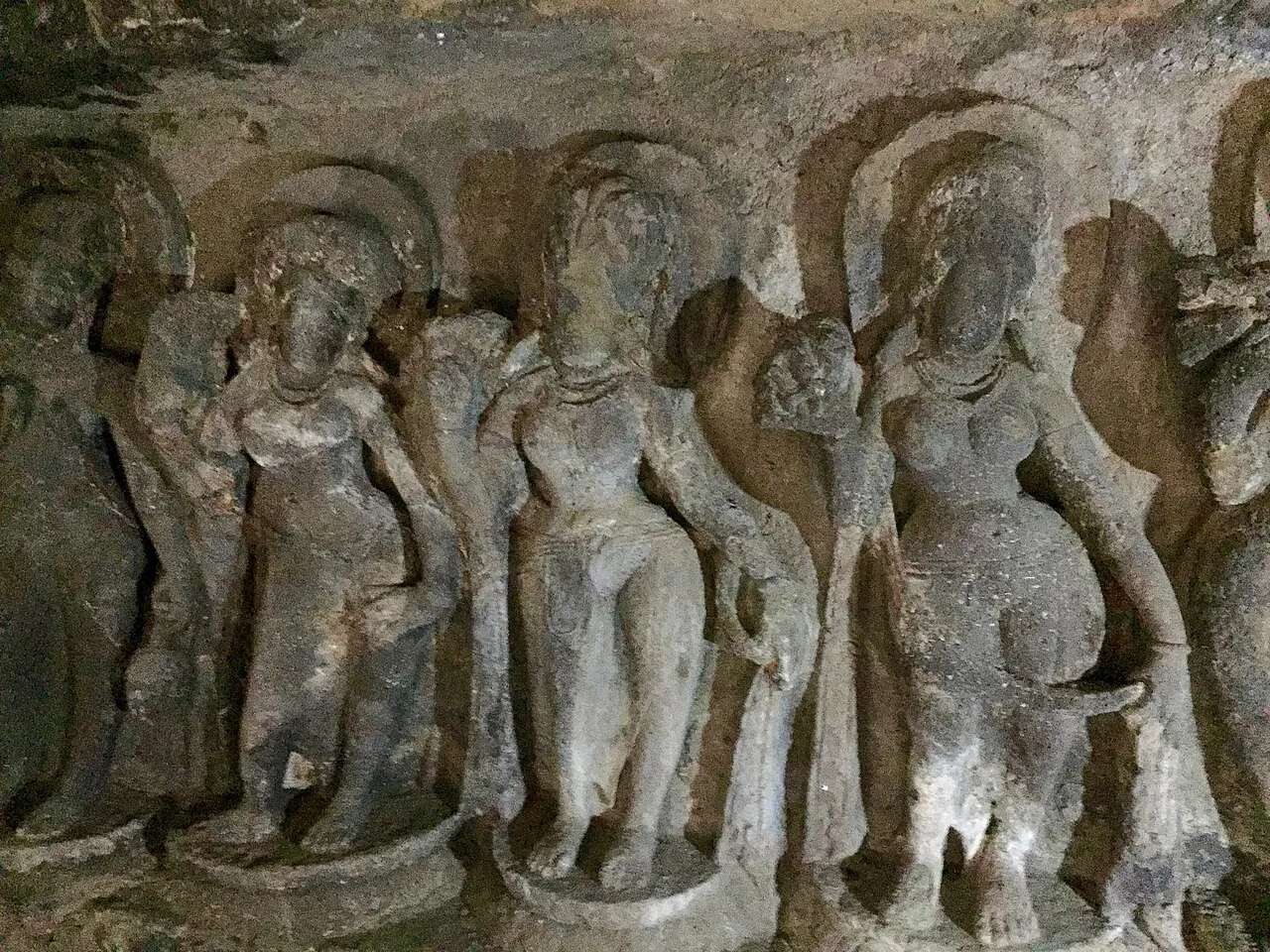
Near Aurangabad in Maharashtra, this hill complex contains twelve Buddhist sanctuaries excavated in basalt. Visitors explore its cave architecture and carvings, which represent several Buddhist traditions and include a range of deities.

Map

Akola on the map

  1. 1Melghat Tiger Reserve
  2. 2Chikhaldara
  3. 3Lonar Lake
  4. 4Aundha Nagnath Temple
  5. 5Ajanta Caves
  6. 6Sevagram Ashram
  7. 7Hazur Sahib
  8. 8Aurangabad Caves

Maharashtra

Other cities to explore